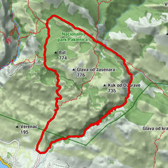
Via Dinarica HR-W-15 Southern Velebit (II) – route to Stap

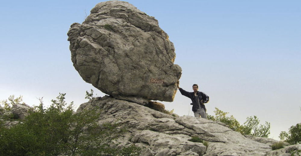
© Terra Dinarica - Alan Čaplar
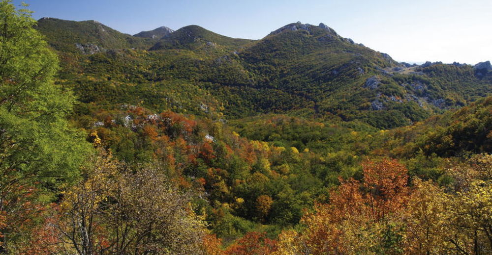
© Terra Dinarica - Alan Čaplar
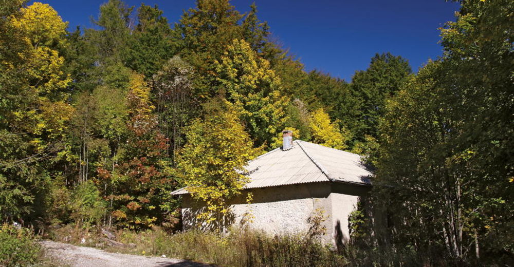
© Terra Dinarica - Alan Čaplar
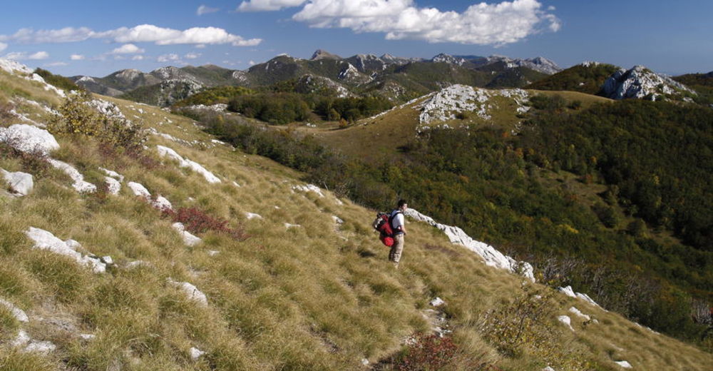
© Terra Dinarica - Alan Čaplar
© Terra Dinarica - Alan Čaplar
© Terra Dinarica - Alan Čaplar
© Terra Dinarica - Alan Čaplar
© Terra Dinarica - Alan Čaplar
© Terra Dinarica - Alan Čaplar

- Lyhyt kuvaus
-
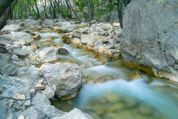
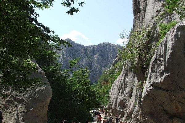
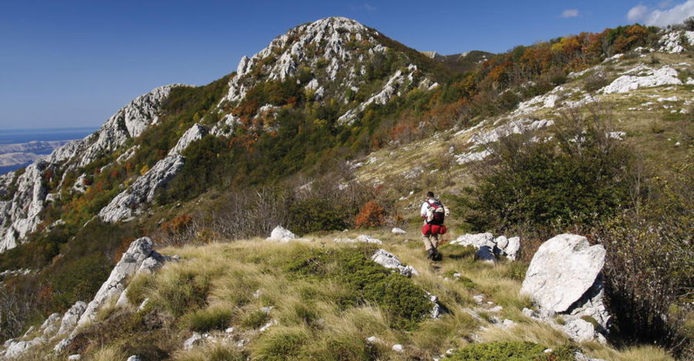
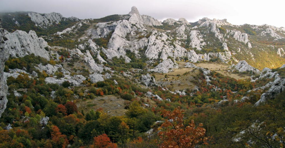
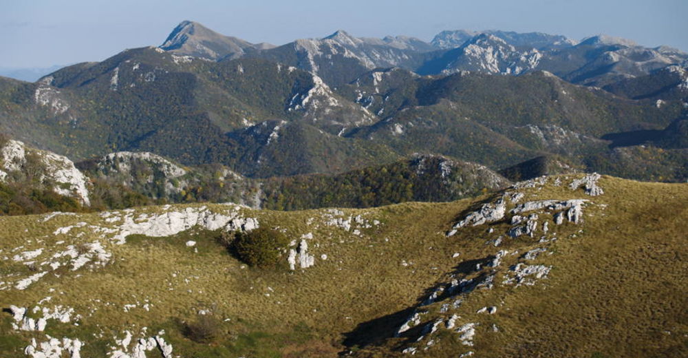
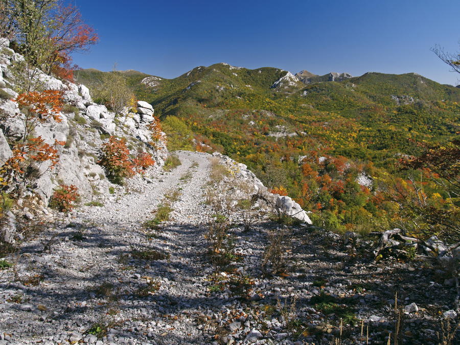
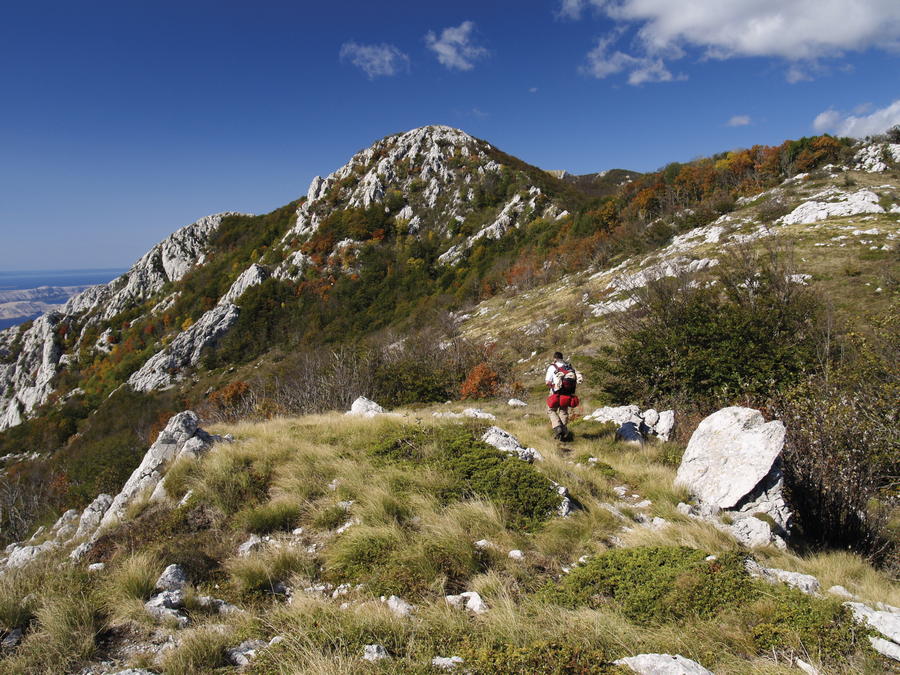
The section from Šugarska duliba to Stap offers genuine wilderness, with forest calm and tranquility dominating this wide area. The only longitudinal trail in this area is the Velebit Hiking Trail. This section requires 5 hours of hiking.
- Vaikeus
-
tapa
- Arviointi
-
- Reitti
-
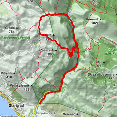
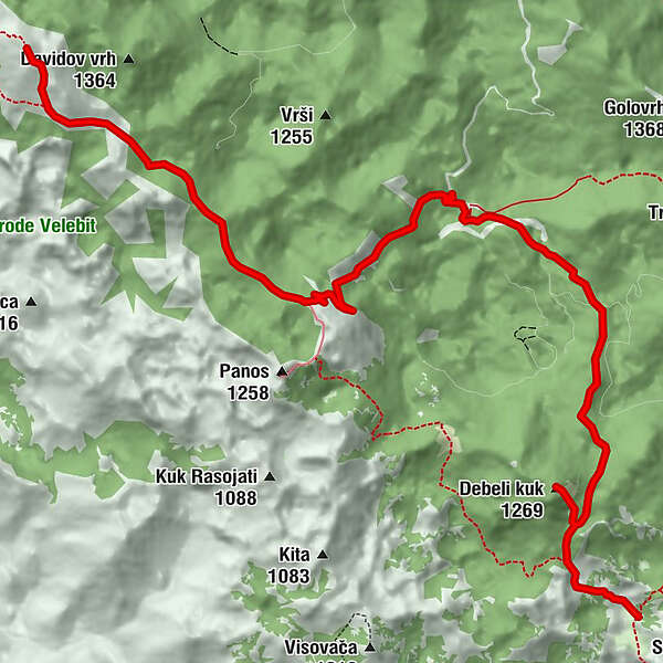
Jelova Ruja6,2 kmGornje njivice9,6 kmDebeli kuk (1.269 m)10,0 kmDonje njivice10,8 kmStap11,6 km
- Paras kausi
-
tammihelmimaalishuhtitoukokesäheinäelosyyslokamarrasjoulu
- Korkein kohta
- 1.381 m
- Kohde
-
Mountain hut Tatekova koliba na StapuJužni Velebit III - do Struga
- Korkeusprofiili
-
 © outdooractive.com


-

-
KirjoittajaKiertue Via Dinarica HR-W-15 Southern Velebit (II) – route to Stap käyttää outdooractive.com toimitettu.
GPS Downloads


Lisää retkiä alueilla
-
Region Zadar
39
-
Vlašići
3