© NIVEA Wandertour/Randonnées NIVEA - Schweizer Wanderwege/Suisse Rando
© NIVEA Wandertour/Randonnées NIVEA - Schweizer Wanderwege/Suisse Rando
© NIVEA Wandertour/Randonnées NIVEA - Schweizer Wanderwege/Suisse Rando

- Lyhyt kuvaus
-
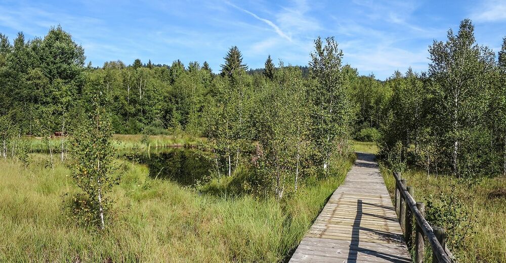
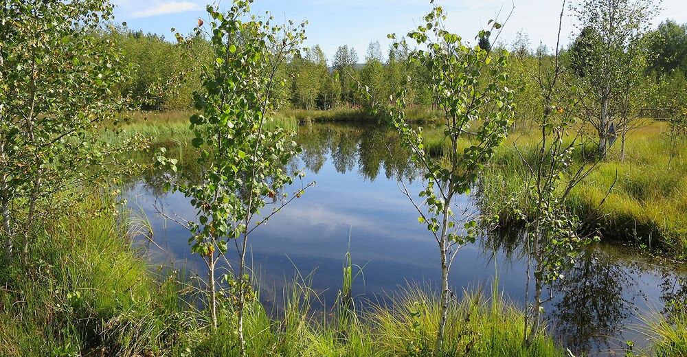
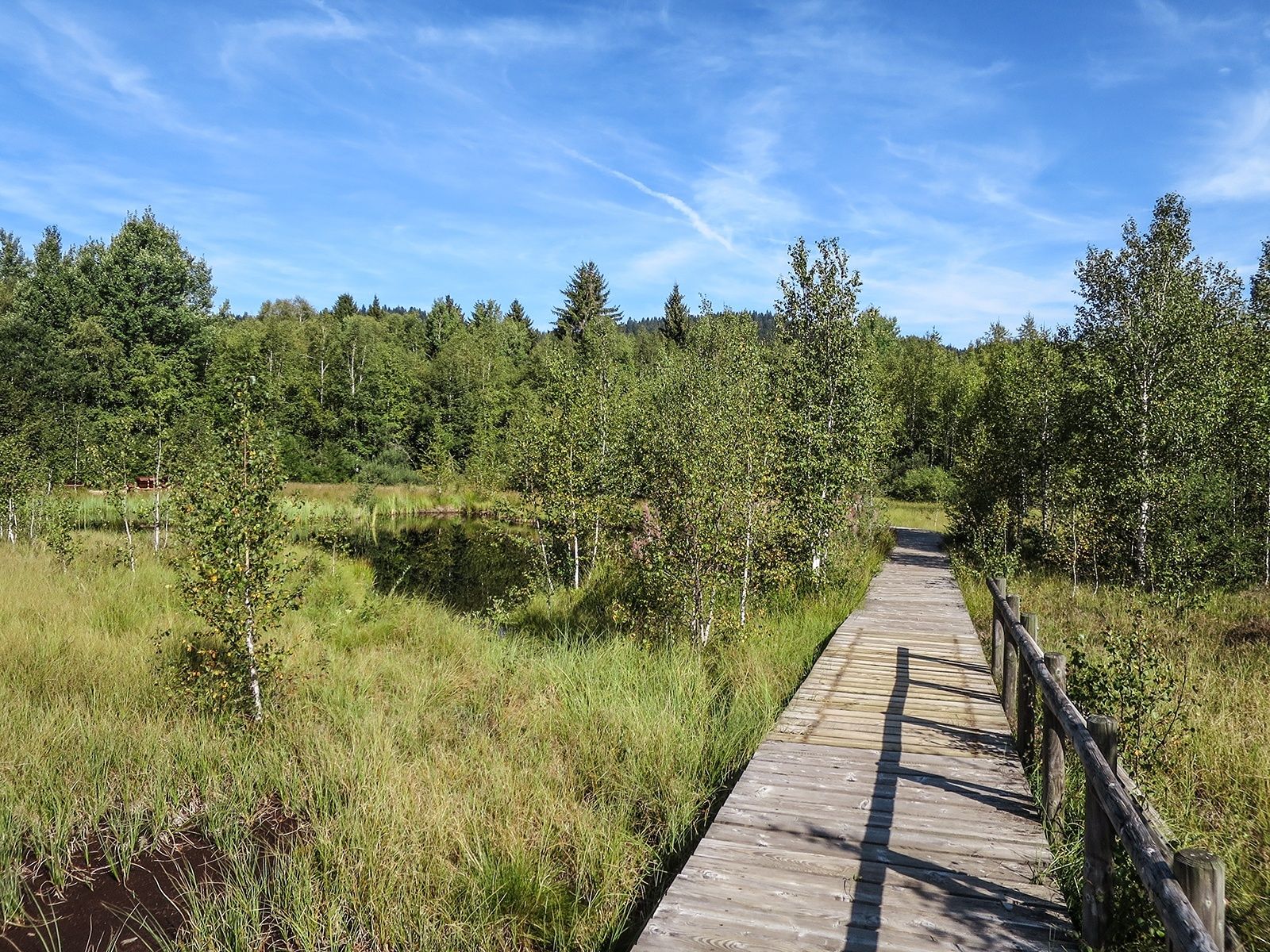
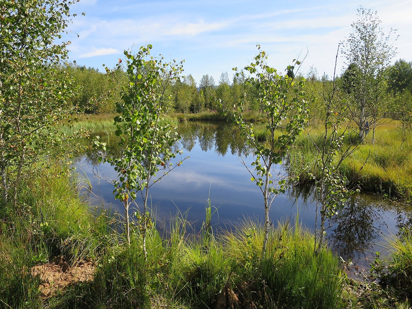
Die Welt der Moore entdecken
- Vaikeus
-
helppo
- Arviointi
-
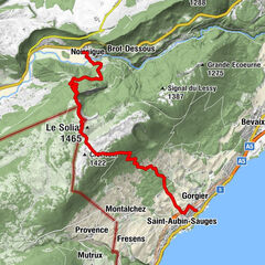
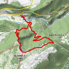
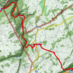
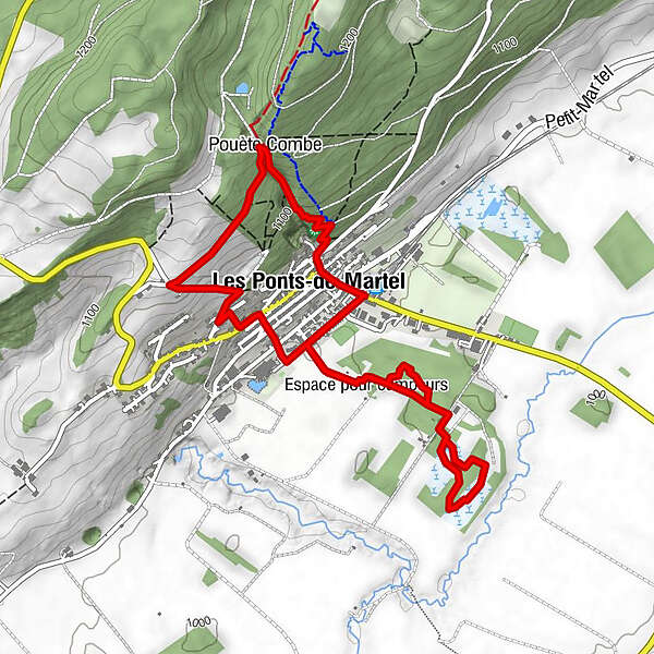
- Reitti
-
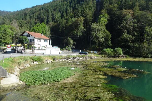
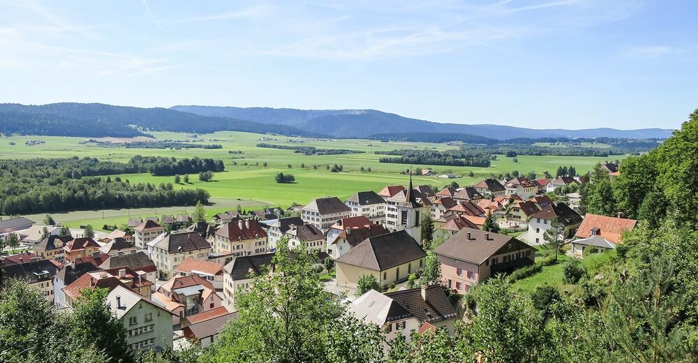
Hôtel-Restaurant du Cerf0,1 kmLes Ponts-de-Martel0,2 kmPouète Combe0,8 kmGrande Grotte0,9 km
- Paras kausi
-
tammihelmimaalishuhtitoukokesäheinäelosyyslokamarrasjoulu
- Korkein kohta
- 1.165 m
- Kohde
-
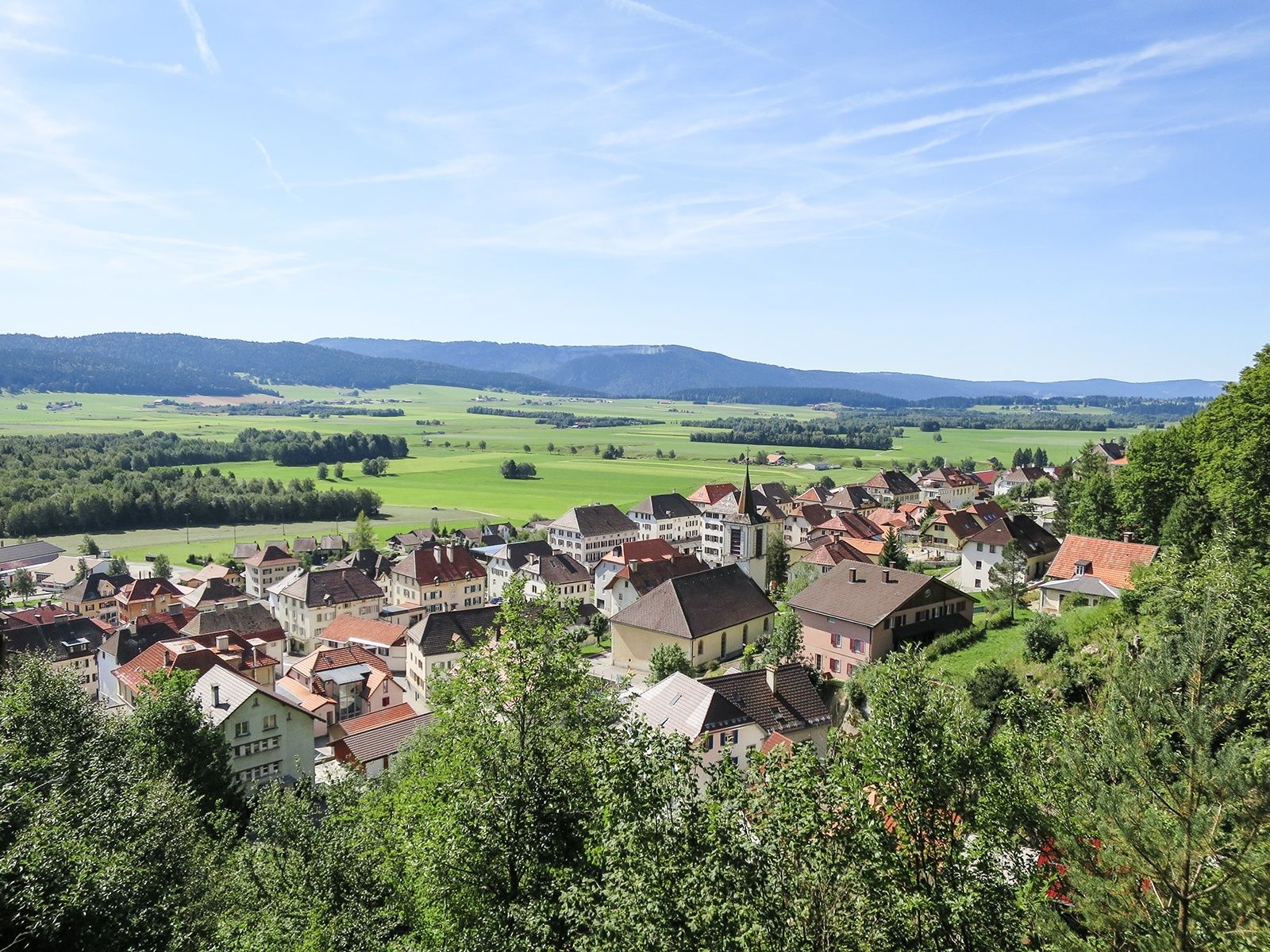
Bahnhof von Les Ponts-de-Martel
- Korkeusprofiili
-
 © outdooractive.com
- Kirjoittaja
-
Kiertue Wanderung Les Ponts-de-Martel – Les Ponts-de-Martel käyttää outdooractive.com toimitettu.
GPS Downloads


Yleistä tietoa
Virvokepysäkki
Lisää retkiä alueilla
-
Neuenburgerland
483
-
Val de Morteau
155
-
Les Ponts-de-Martel
51