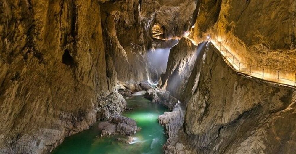
© Javni zavod Park Škocjanske jame

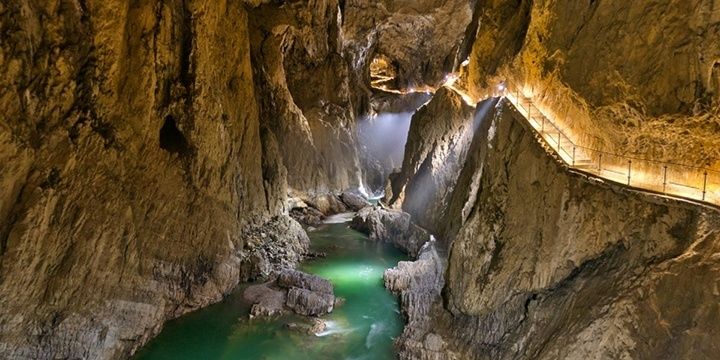
© Park Škocjanske jame, Slovenija

- Lyhyt kuvaus
- Vaikeus
-
helppo
- Arviointi
-
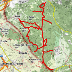
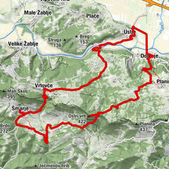
- Reitti
-
UlurjeMahnič0,0 kmMattauno0,0 kmBelvedere0,3 kmGradischie di San Canziano1,4 kmGaberce Auremiano8,3 kmSenosetsch10,0 kmSan Bartolomeo10,2 kmGostilna NANOS16,3 kmPrevallo16,5 km
- Paras kausi
-
tammihelmimaalishuhtitoukokesäheinäelosyyslokamarrasjoulu
- Korkein kohta
- 716 m
- Kohde
-
Divača
- Korkeusprofiili
-
 © outdooractive.com

- Kirjoittaja
-
Kiertue Via Alpina Slovenia: Red trail Stage 2 (Matavun-Razdrto) käyttää outdooractive.com toimitettu.
GPS Downloads


Yleistä tietoa
Virvokepysäkki
Parantava ilmasto
Kulttuuri/Historiallinen
Lisää retkiä alueilla
-
Notranjsko-Kraška
68
-
Škocjan
13