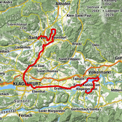
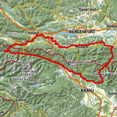
Lake loop 5th stage: Egg am Faaker See – Sankt Kanzian am Klopeiner See


- Lyhyt kuvaus
-
58 kilometres, 369 metres altitude difference
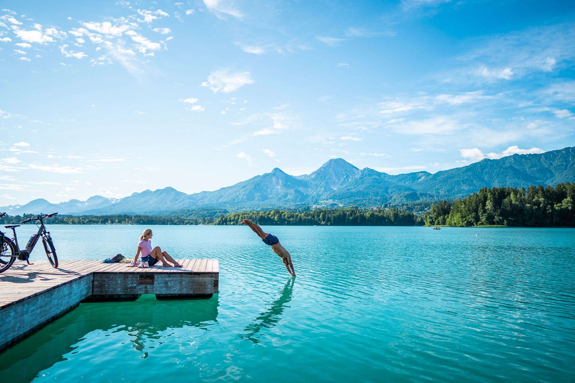
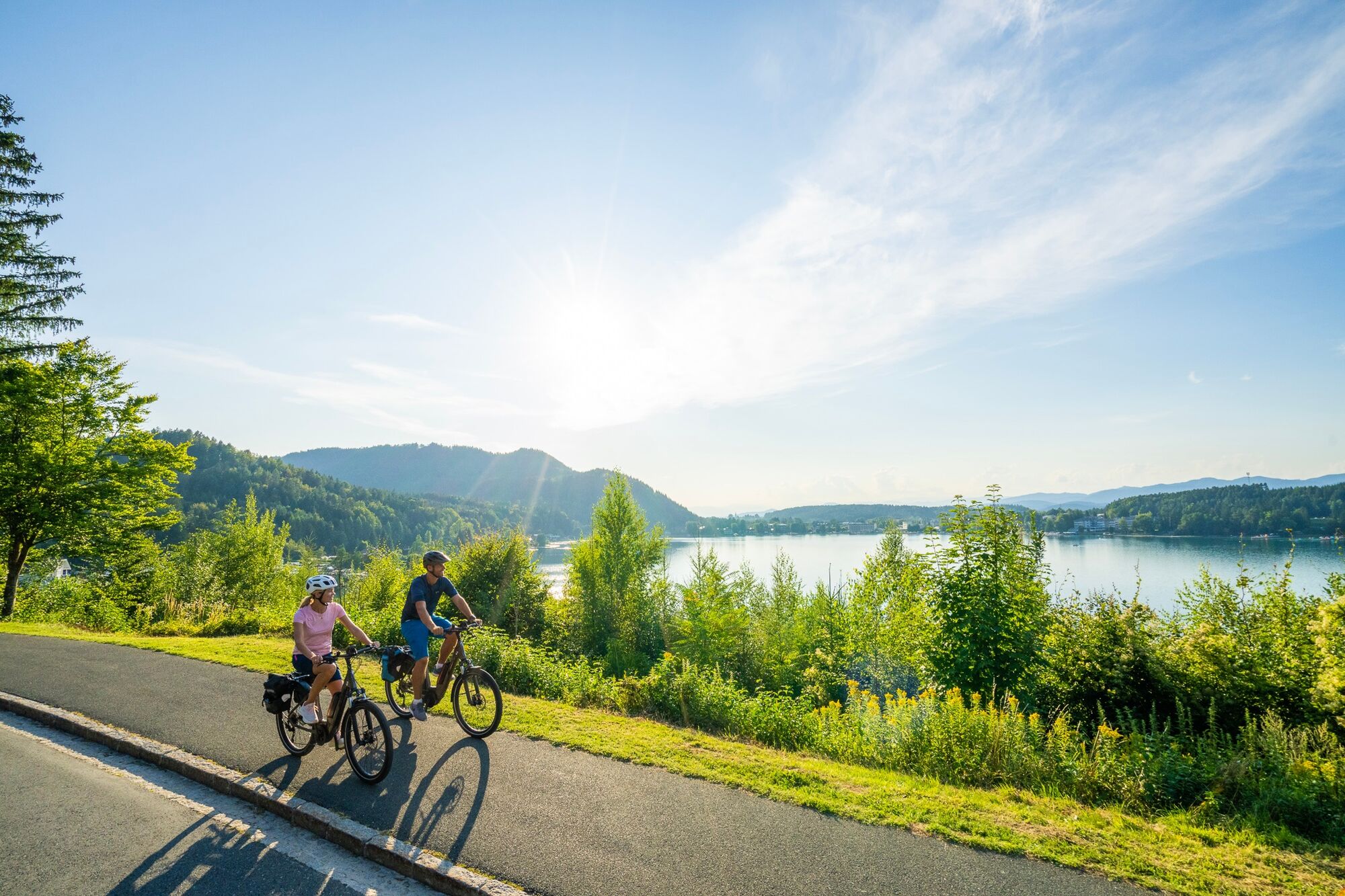
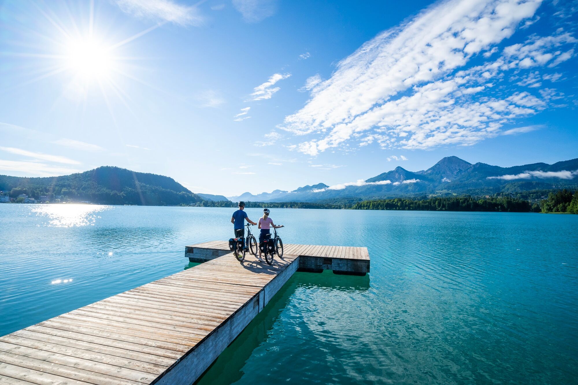
From the north end of Lake Faaker See, with its spectacular views of the Karawanken mountains and the pyramidal rock cone of the Mittagskogel mountain, the route continues back to the Drautal valley and on to Velden am Wörthersee. On the cycle path on the northern shore of the largest and most well-known lake in Carinthia you pass the lakeside resort of Pörtschach with its pretty villas, palaces and stylish lakeside houses. From the lake promenade in Klagenfurt you cross the provincial capital with its impressive old town. In the afternoon, you will reach the lively village of Sankt Kanzian at Lake Klopeiner See, which is deemed the warmest bathing lake in Europe.
- Vaikeus
-
helppo
- Arviointi
-
- Reitti
-
Egg am Faaker SeeBogenfeld1,0 kmGraschitz1,9 kmFöderlach2,9 kmWudmath4,4 kmEmmersdorf6,7 kmKirche Sankt Laurentius7,0 kmFilialkirche hl. Augustin7,6 kmSankt Lambrecht7,8 kmPfarrkirche St. Michael8,5 kmRosegg8,5 kmDuel9,1 kmKirche Unsere Liebe Frau10,0 kmFrög10,2 kmLatschach10,5 kmMühlbach14,0 kmPulpitsch14,4 kmDreilach16,9 kmLängdorf18,8 kmSelkach22,9 kmFresnach23,8 kmRosentaler Stüberl26,1 kmSt. Oswald26,3 kmFilialkirche St. Oswald26,8 kmRadlerrast26,9 kmStrau39,8 kmPfarrkirche Sankt Valentin46,2 kmGlainach46,2 kmInfoblick Stein65,8 kmFishery Steffan66,8 kmSt. Kanzian/Seidendorf67,4 kmSeidendorf67,7 kmSt. Lorenz68,8 kmStein im Jauntal68,8 kmFilialkirche Hl. Margareta68,8 kmSeelach71,1 kmKlopein71,4 km
- Paras kausi
-
tammihelmimaalishuhtitoukokesäheinäelosyyslokamarrasjoulu
- Korkein kohta
- 573 m
- Kohde
-
Klopeinersee
- Korkeusprofiili
-


-

-
KirjoittajaKiertue Lake loop 5th stage: Egg am Faaker See – Sankt Kanzian am Klopeiner See käyttää outdooractive.com toimitettu.