© Alpe-Adria-Trail - Alexandra Rieger

© Alpe-Adria-Trail - Alexandra Rieger

© Community - Günther Eckhard

© Alpe-Adria-Trail - Alexandra Rieger

© Alpe-Adria-Trail - Roland Oberdorfer

© Community - MAIK Pfeifer

© Community - MAIK Pfeifer
© Community - Robert Tine
© Alpe-Adria-Trail - Franz Gerdl
© Alpe-Adria-Trail - Franz Gerdl

- Lyhyt kuvaus
-
ATTENTION: For the hiking season 2019 there is a diversion from Stall to the Goldberghütte due to avalanches and the associated wind throw. The detour route via Steinwand and Sagas to the Goldberghütte is signposted and maintained in the outdooractive tour guide!
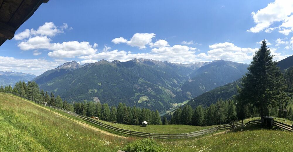
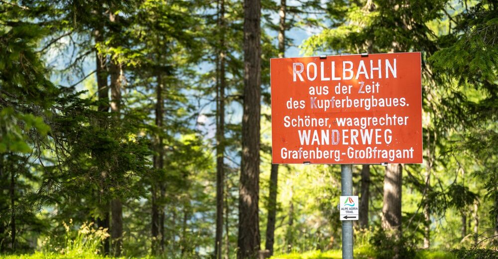
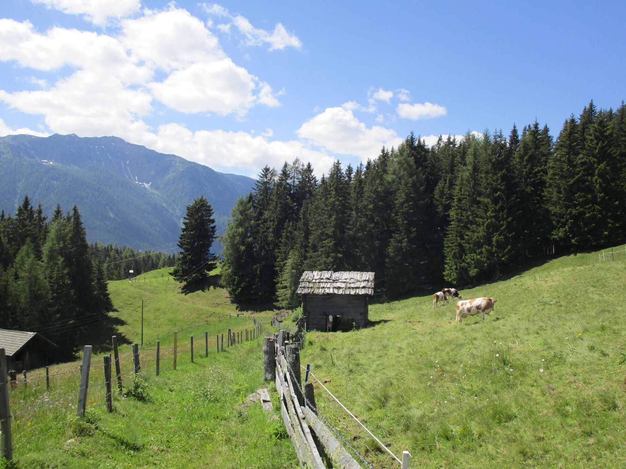
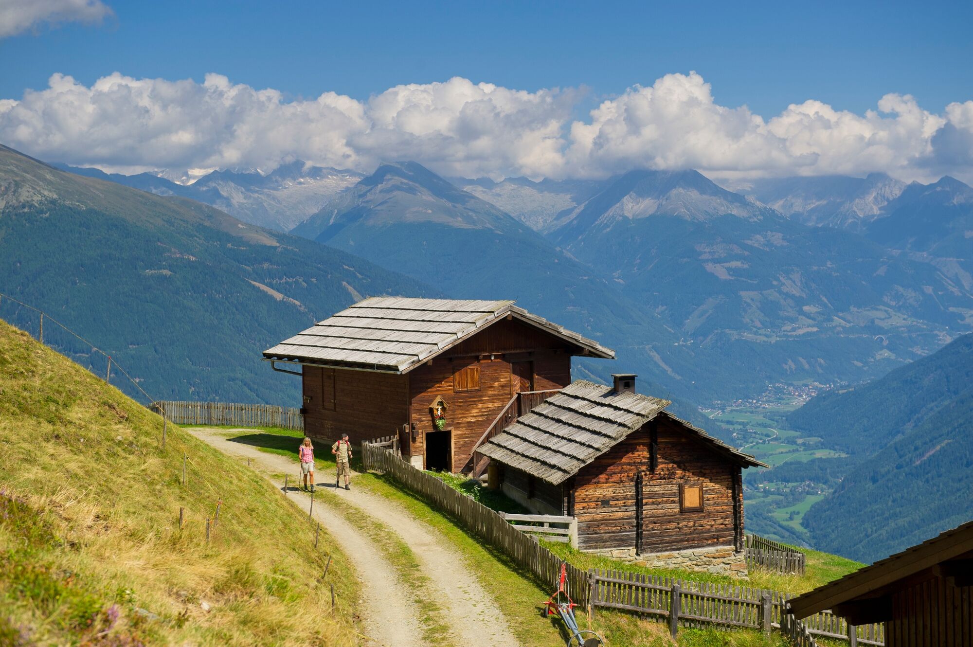
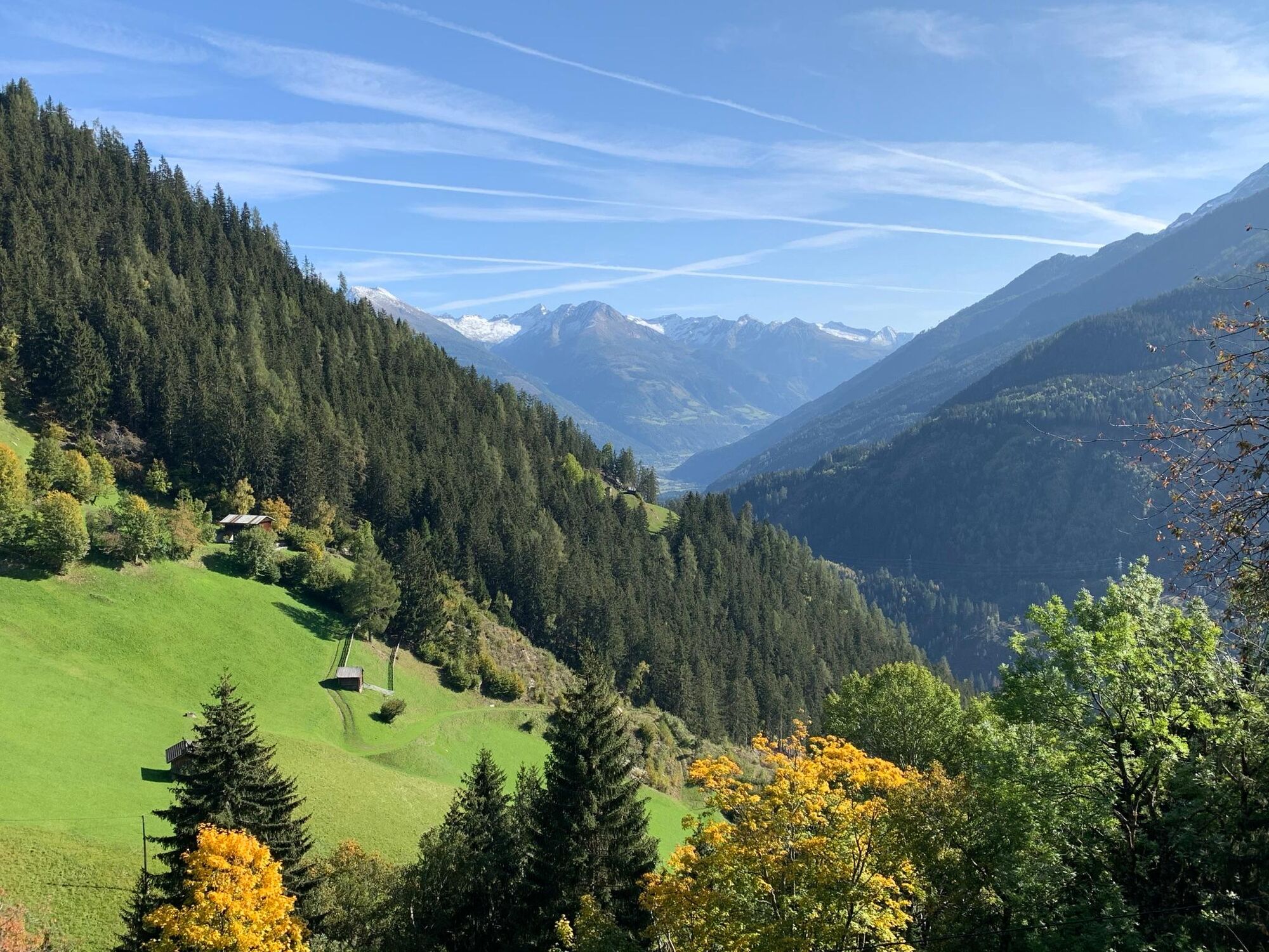
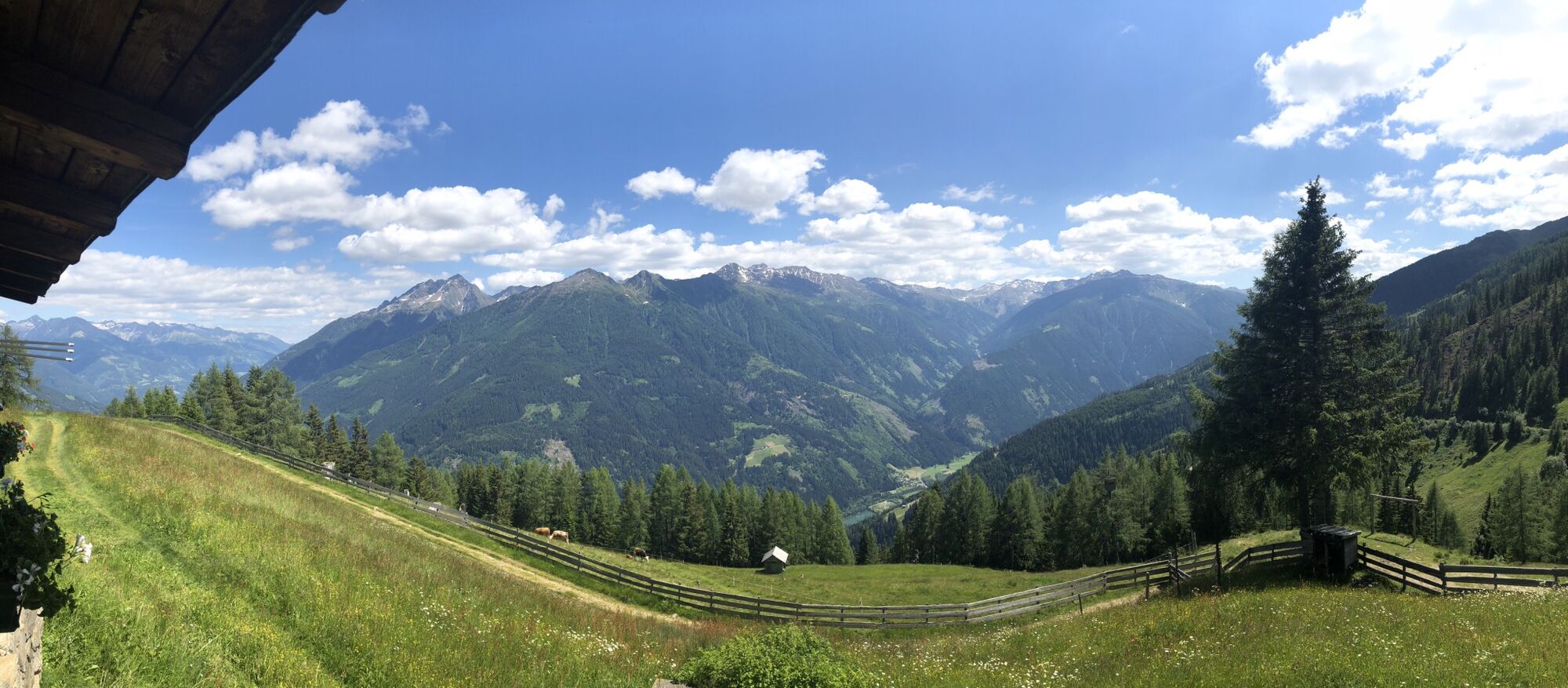
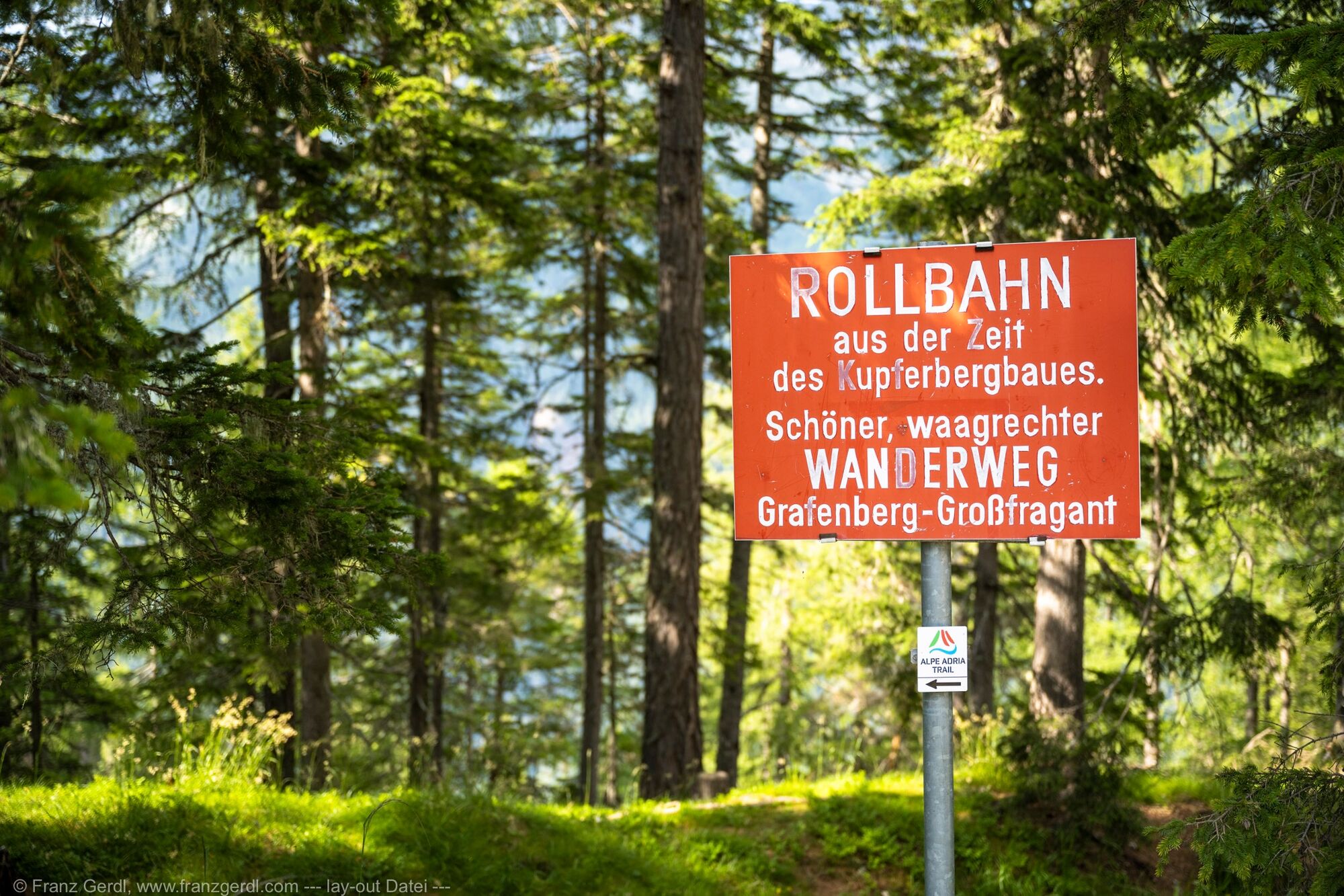
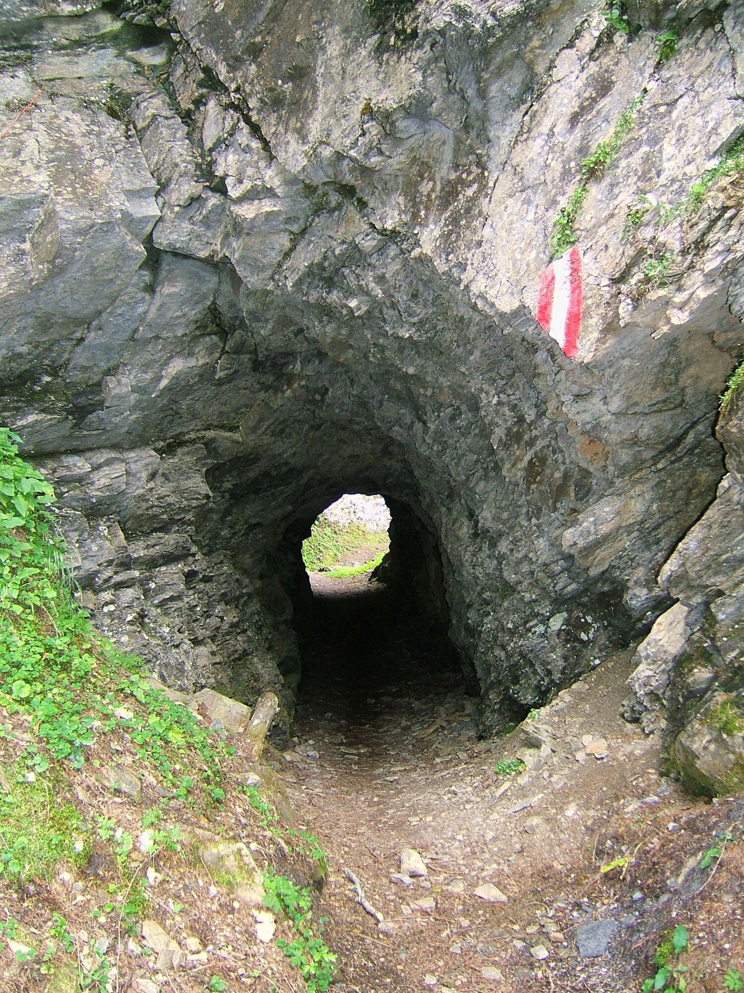
A varied stage with great views awaits us far above the central Möll Valley: old footpaths to mountain farms, a historic school path, some newer forest roads and, as the highlight of the stage, the legendary “mine track” from the times of copper mining.
- Vaikeus
-
vaikea
- Arviointi
-
- Reitti
-
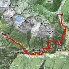
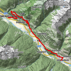
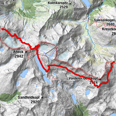
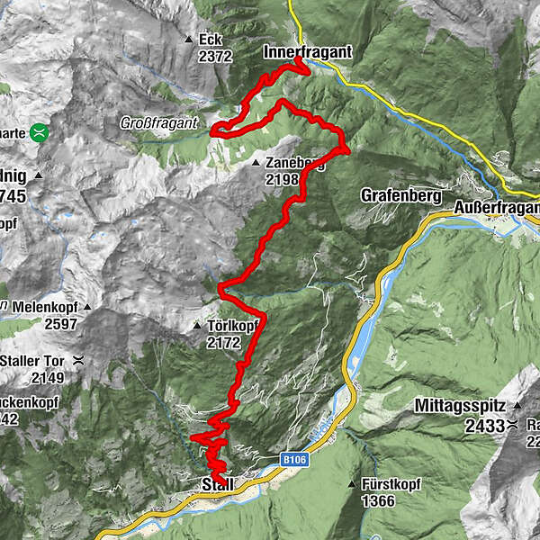
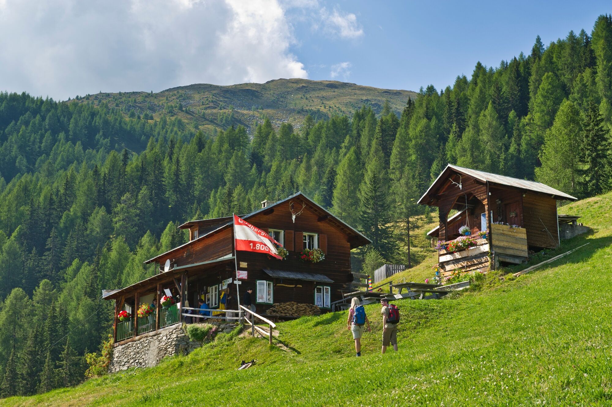
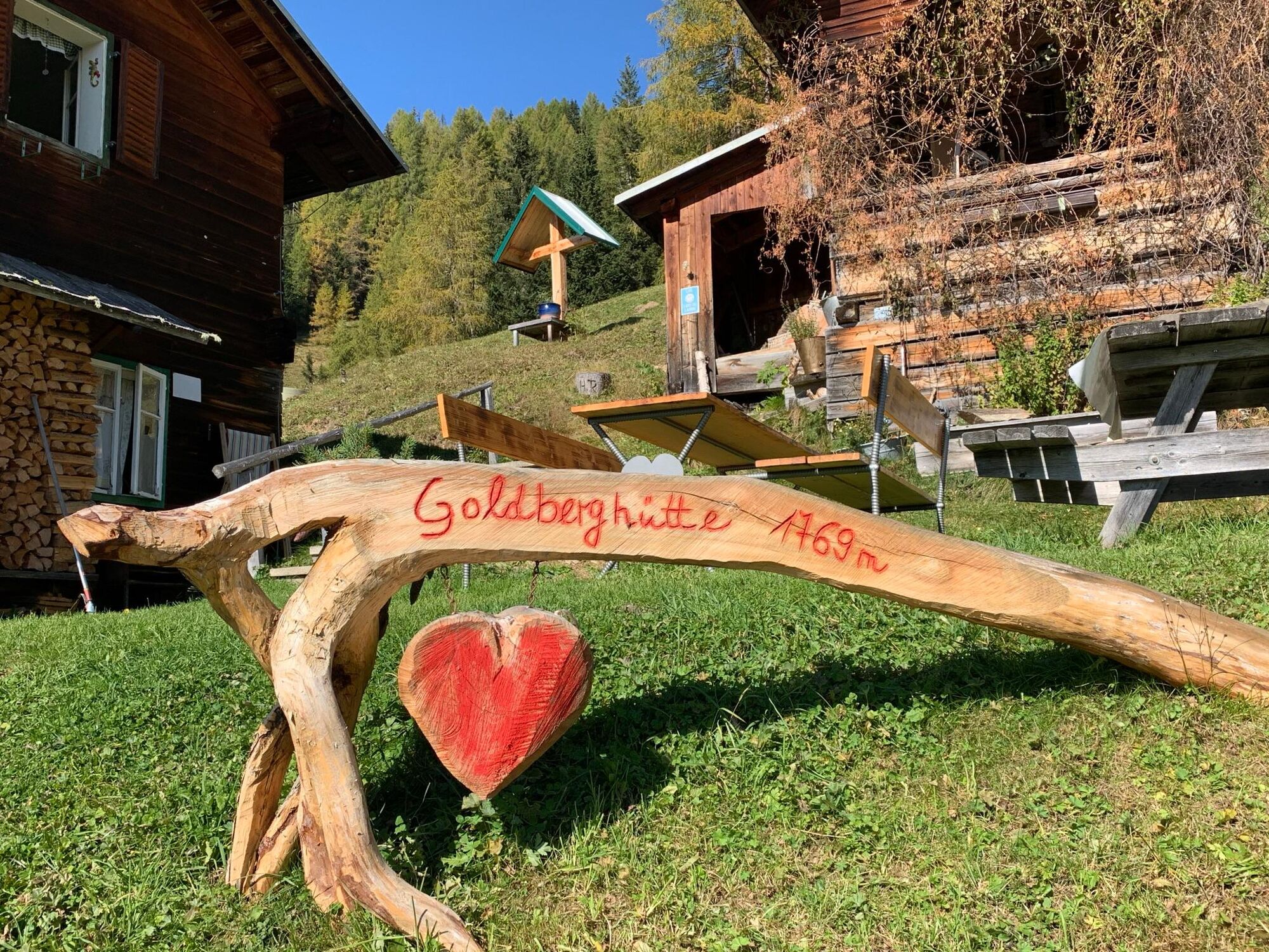
Stall0,0 kmHl. Georg0,3 kmSonnberg4,8 kmSagasser Alm9,2 kmGoldberghütte11,0 kmInnerfragant20,0 km
- Paras kausi
-
tammihelmimaalishuhtitoukokesäheinäelosyyslokamarrasjoulu
- Korkein kohta
- 1.801 m
- Kohde
-
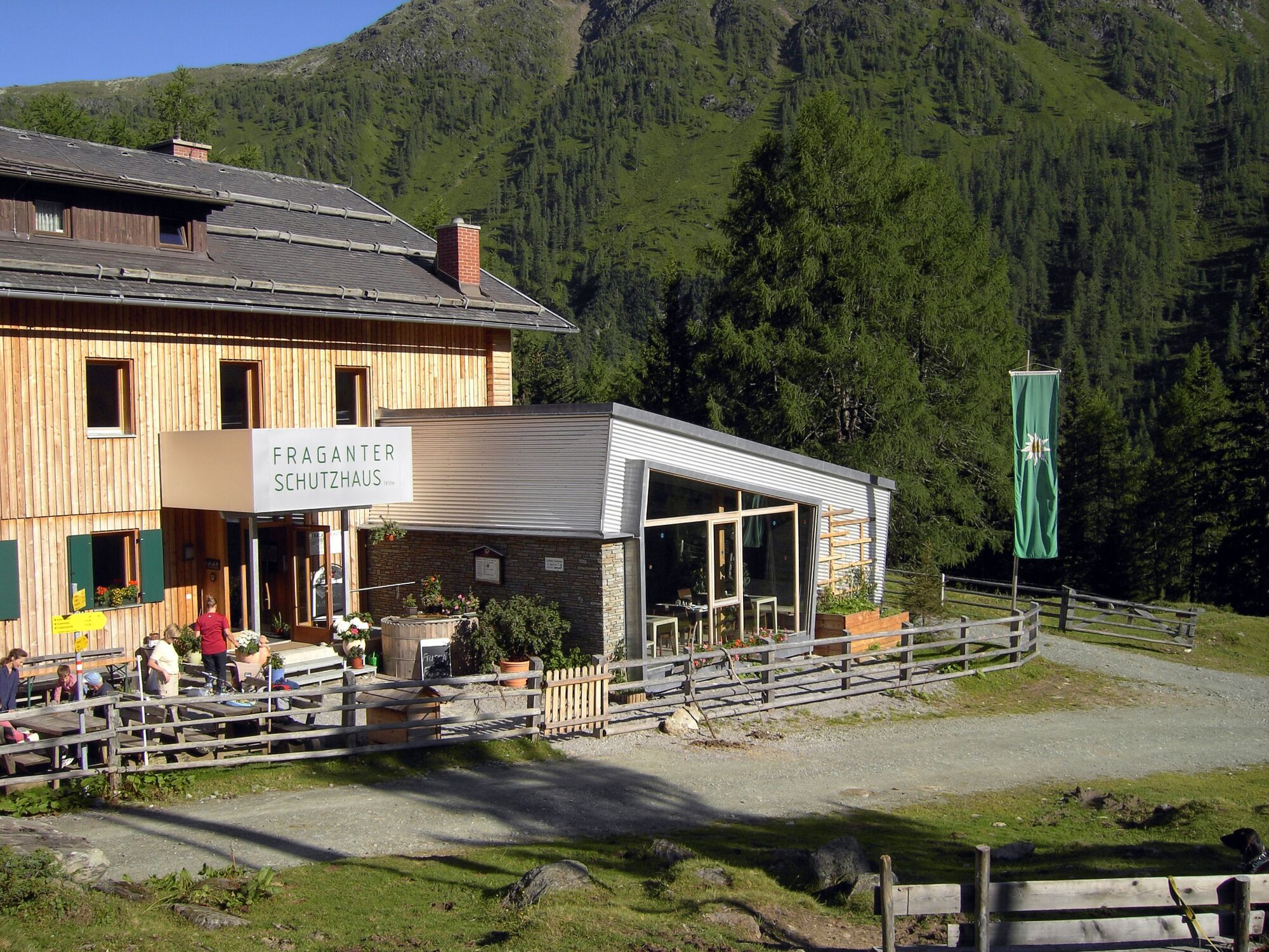
Innerfragant
- Korkeusprofiili
-


- Kirjoittaja
-
Kiertue ST05 AAT: Stall - Innerfragant käyttää outdooractive.com toimitettu.
GPS Downloads


Yleistä tietoa
Virvokepysäkki
Kulttuuri/Historiallinen
Lupaava
Lisää retkiä alueilla