© Alpe-Adria-Trail - Kärnten Werbung - Franz Gerdl

© Alpe-Adria-Trail - Kärnten Werbung - Franz Gerdl
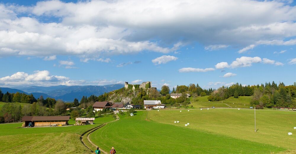
© Alpe-Adria-Trail - Kärnten Werbung - Franz Gerdl

© Alpe-Adria-Trail - Michael Stabentheiner

© Community - Sandra Lippert

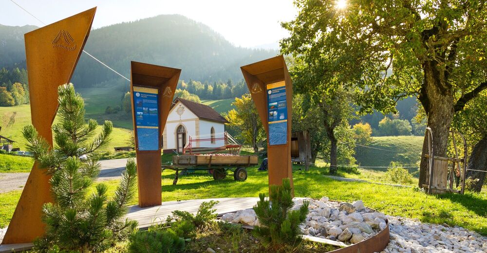
© Alpe-Adria-Trail - Alexandra Rieger

© Community - Sandra Lippert

© Alpe-Adria-Trail - Alexandra Rieger

© Community - Sandra Lippert

© Community - Andrea Heidl


- Lyhyt kuvaus
-
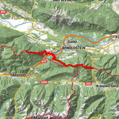
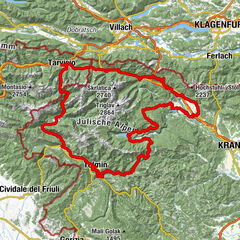
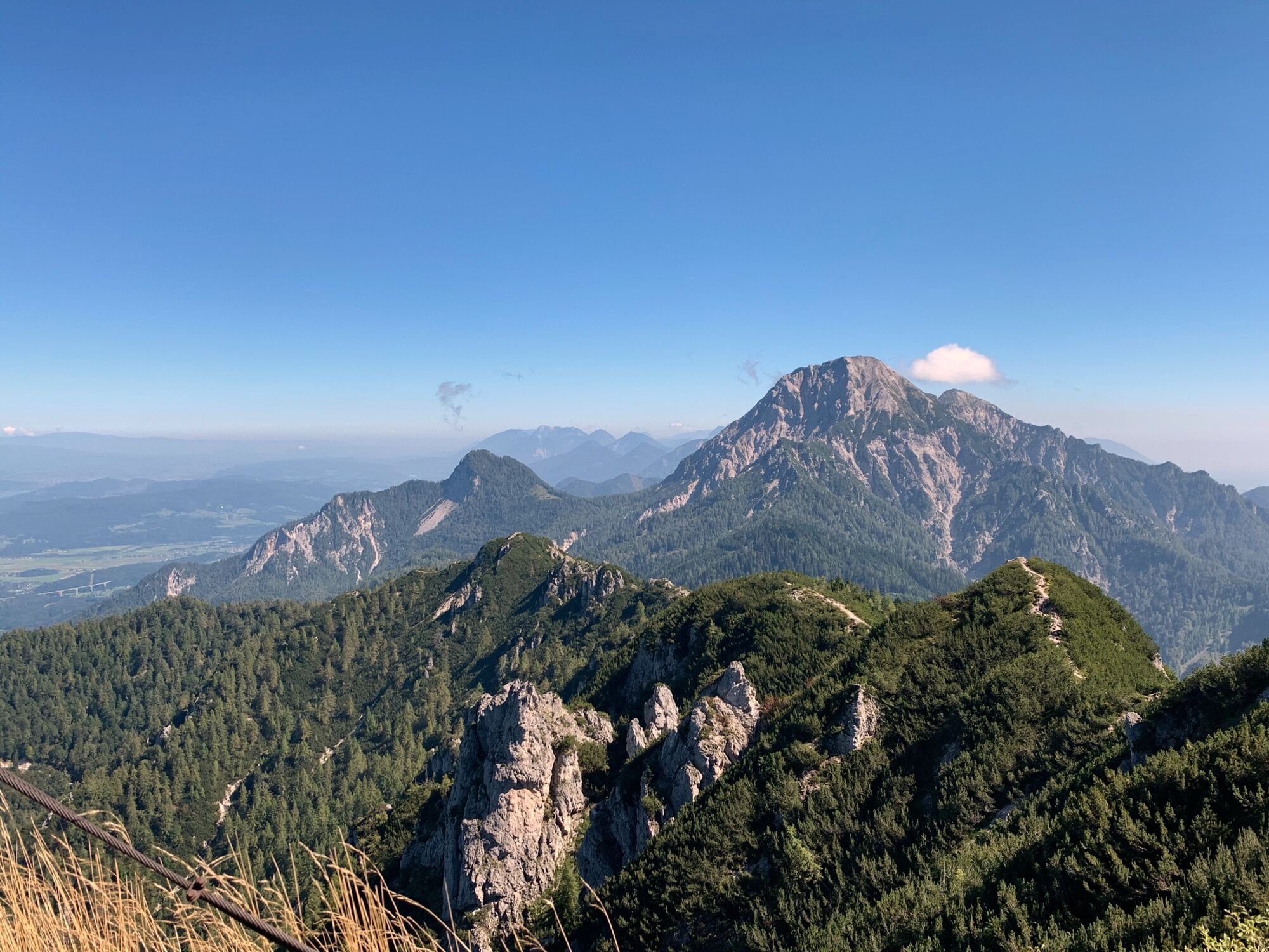
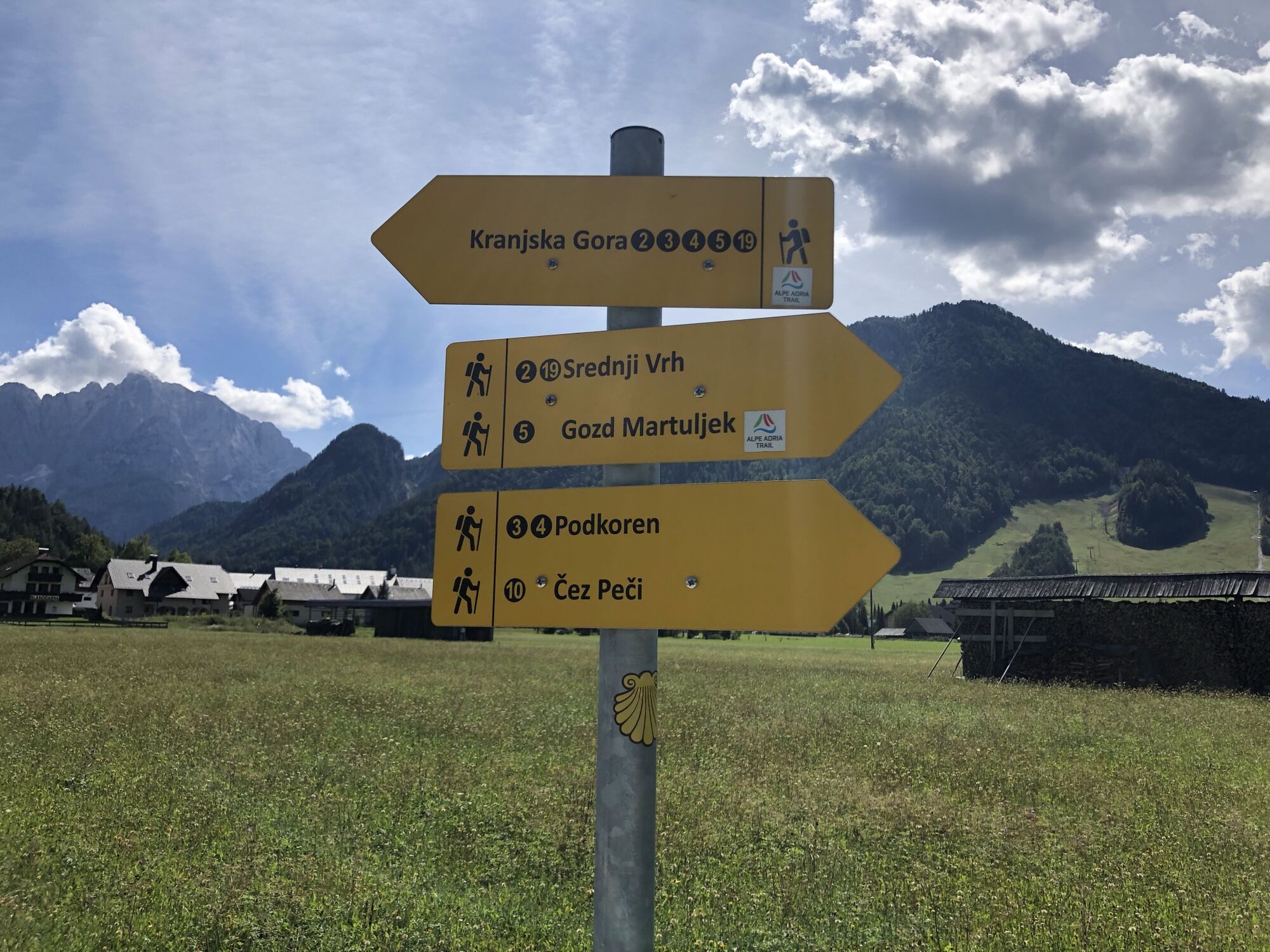
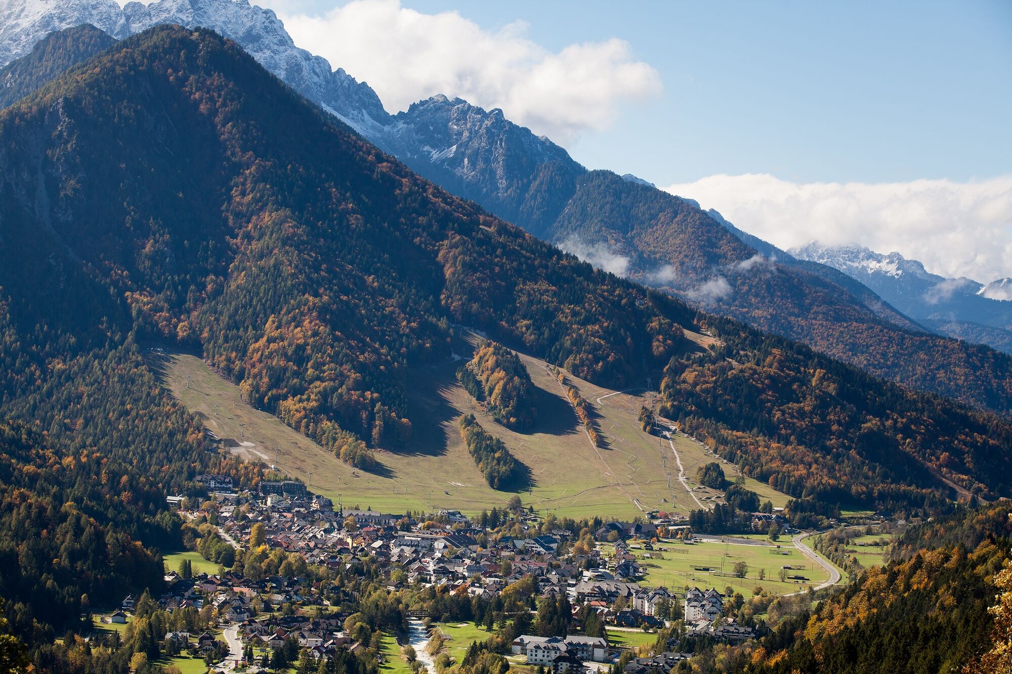
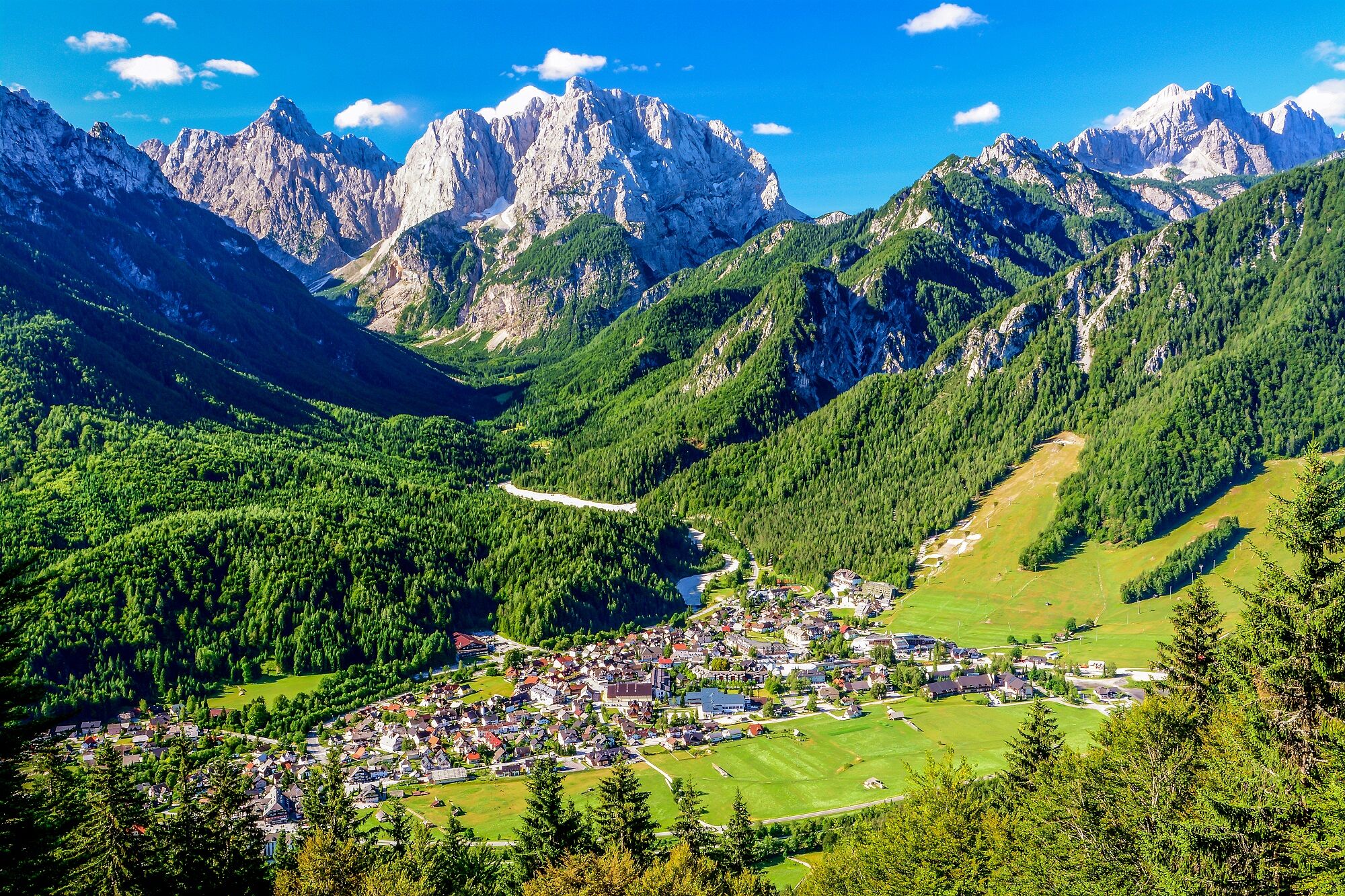
On this stage you will walk across the Austrian border for the first time: from Carinthia you will come to Slovenia via the Karawanken Mountains. The destination of today’s stage, Krajnska Gora, lies at the entrance to the Triglav National Park in the Julian Alps.
- Vaikeus
-
vaikea
- Arviointi
-
- Reitti
-
Hotel Restaurant Baumgartnerhof0,0 kmSchwarzkogel (1.839 m)8,3 kmSedlič (1.805 m)11,3 kmMitterberg16,6 kmP1l19,4 kmPis2toc19,6 kmKronau21,7 kmCerkev Device Marije Vnebovzete21,7 km
- Paras kausi
-
tammihelmimaalishuhtitoukokesäheinäelosyyslokamarrasjoulu
- Korkein kohta
- 1.834 m
- Kohde
-
Kranjska Gora
- Korkeusprofiili
-


- Kirjoittaja
-
Kiertue ST22 AAT: Baumgartnerhöhe - Kranjska Gora käyttää outdooractive.com toimitettu.
GPS Downloads


Yleistä tietoa
Virvokepysäkki
Lupaava
Lisää retkiä alueilla