© RUNNERSFUN Consulting GmbH - Felix Ettinger

- Reitti
-
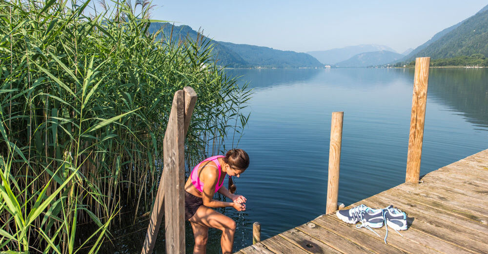
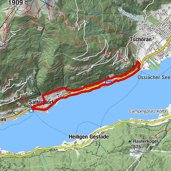
Sattendorf0,4 kmFinsterbachfall (570 m)0,7 kmKesselfall (635 m)0,7 kmStöcklweingarten1,8 kmBurg4,1 kmUrbaniwirt4,3 kmStöcklweingarten6,6 kmSattendorf7,8 km
- Korkein kohta
- 597 m
- Korkeusprofiili
-


- Kirjoittaja
-
Kiertue SEEBERÜHRUNGEN - Von Sattendorf nach Bodensdorf käyttää outdooractive.com toimitettu.