© Stefan Valthe - Stefan Valthe Stefan Valthe
Retkitiedot
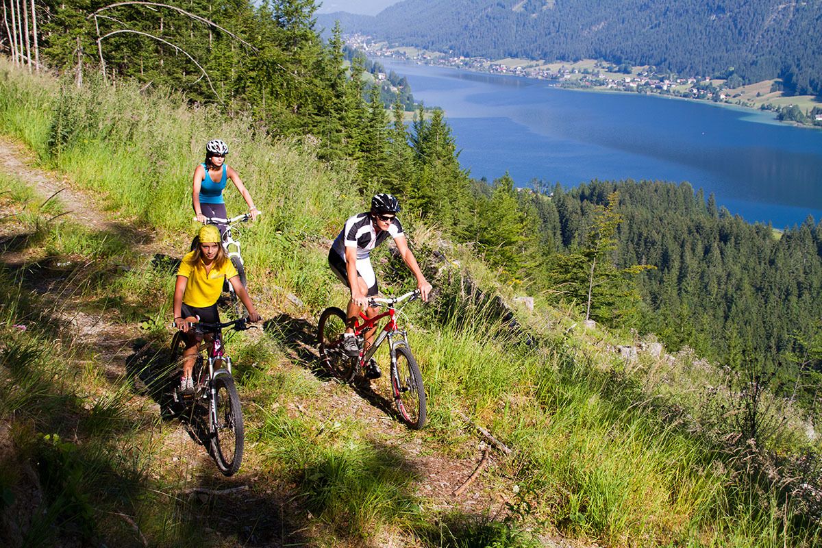
11,5km
928
- 1.069m
218hm
01:30h

- Arviointi
-
- Lähtöpiste
-
Weissensee Haus in Techendorf-Süd.
- Reitti
-
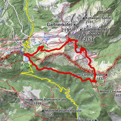
Techendorf0,0 kmSchattseite0,1 kmPraditz3,1 kmErlebnishof Tschabitscher5,5 kmTschabitscher5,6 kmOberdorf9,0 kmGatschach9,7 kmTechendorf10,5 kmTechendorf - Brücke11,0 kmSchattseite11,1 km
- Korkein kohta
- 1.069 m
- Lepo/Retriitti
-
Erlebnishof Tschabitscher.
- Karttamateriaali
-
Mountainbike-Führer Weissensee. EUR 6,-.
GPS Downloads


Ajoreitit
Asfaltti
(5,4 km)
Sora
(5,4 km)
Vuoripolut
Singletrails
Trial
Liikenne
Lisää retkiä alueilla