© NLW Tourismus Marketing GmbH - Tourismusinfo Nassfeld-Pressegger See


- Lyhyt kuvaus
-
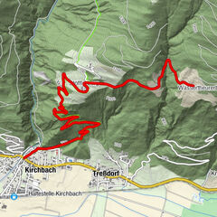
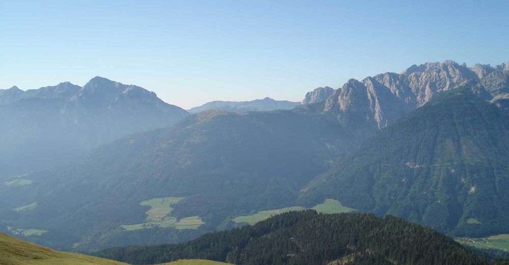
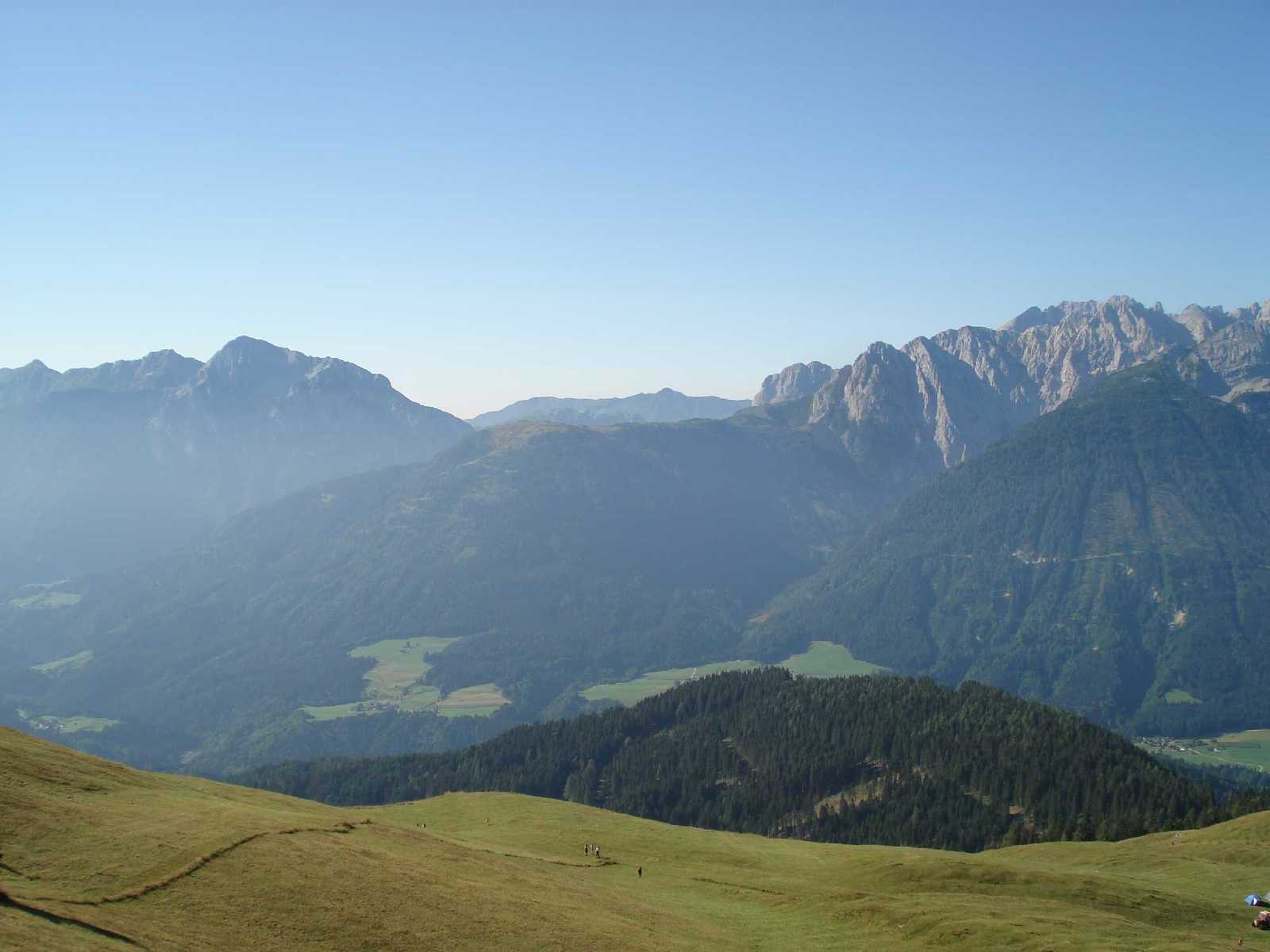
This beautiful tour runs through a forest area over the mountain flank northwards up to the "Stiermahd". From there a picturesque hiking trail leads us to the flower paradise "Mussen".
- Vaikeus
-
tapa
- Arviointi
-
- Reitti
-
evangelische Kirche0,2 kmGentschach3,3 kmHerz Jesu-Kapelle3,4 kmPassau5,2 kmStrajach7,2 kmSankt Jakob im Lesachtal16,7 kmStrajach17,5 kmPassau19,4 kmHerz Jesu-Kapelle21,2 kmGentschach21,4 kmevangelische Kirche24,3 km
- Paras kausi
-
tammihelmimaalishuhtitoukokesäheinäelosyyslokamarrasjoulu
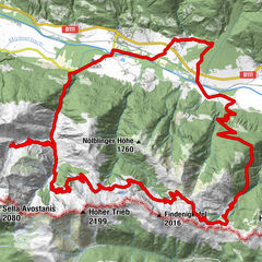
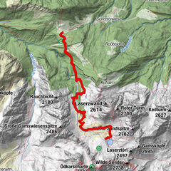
- Korkein kohta
- 1.495 m
- Kohde
-
Rathaus Billa
- Korkeusprofiili
-

- Kirjoittaja
-
Kiertue KM4 - Strajach-Mussen käyttää outdooractive.com toimitettu.
GPS Downloads


Yleistä tietoa
Fauna
Lupaava
Lisää retkiä alueilla