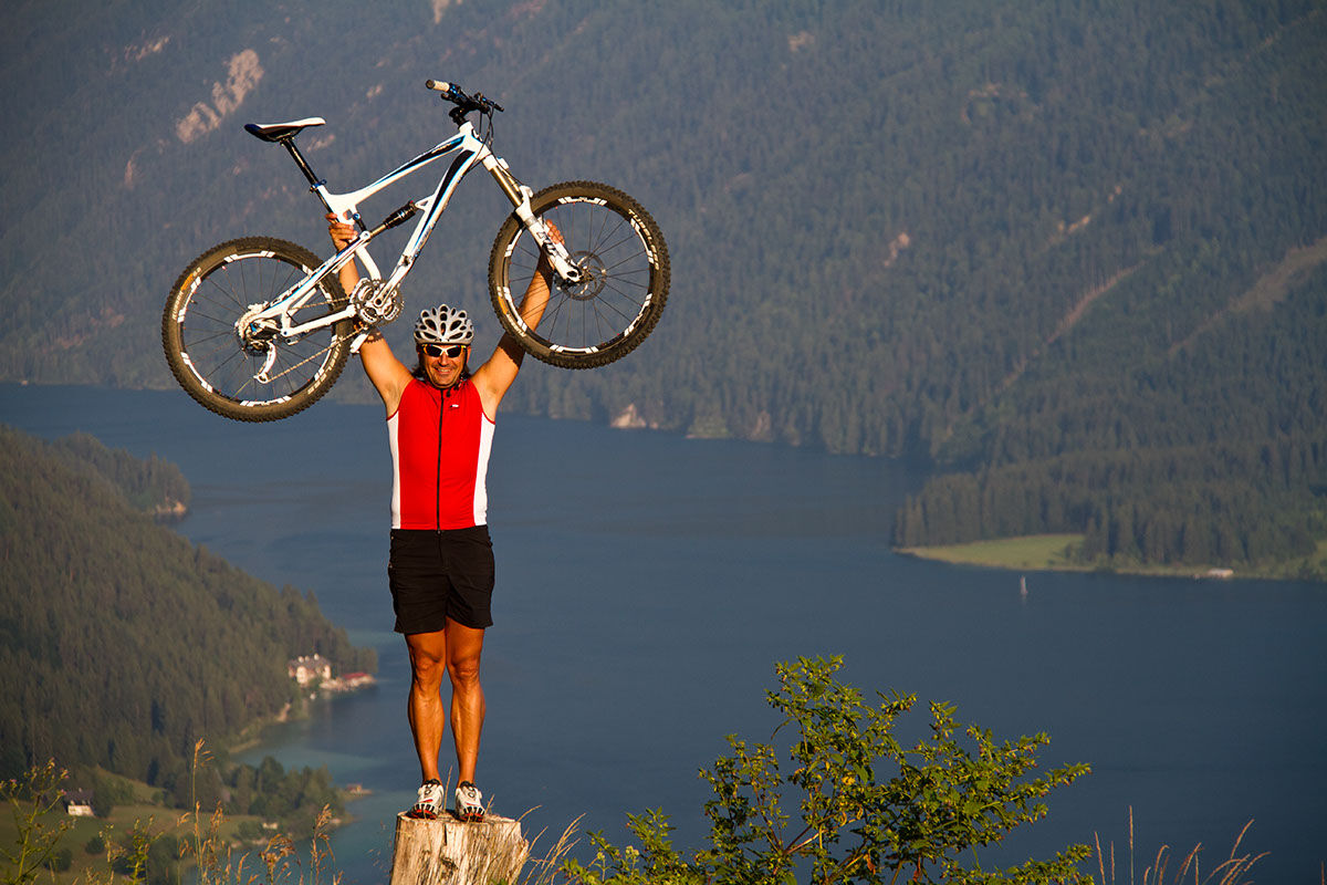
© Weissensee Information - CC BY-ND-NC Stefan Valthe

- Lyhyt kuvaus
-
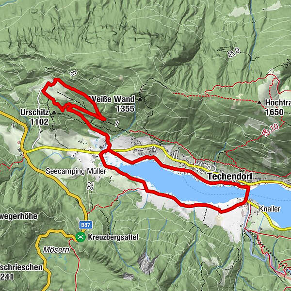
Wunderschöne Mountainbikerunde zum Erlebnishof Tschabitscher.
- Vaikeus
-
helppo
- Arviointi
-
- Reitti
-
TechendorfSchattseite0,1 kmPraditz3,1 kmErlebnishof Tschabitscher5,5 kmTschabitscher5,6 kmOberdorf9,8 kmGatschach10,4 kmTechendorf11,2 kmTechendorf - Brücke11,7 kmSchattseite11,8 km
- Paras kausi
-
tammihelmimaalishuhtitoukokesäheinäelosyyslokamarrasjoulu
- Korkein kohta
- 1.141 m
- Kohde
-
Weissensee Haus
- Korkeusprofiili
-

- Kirjoittaja
-
Kiertue W2 - Tschabitscher Runde-Weissensee käyttää outdooractive.com toimitettu.
GPS Downloads


Yleistä tietoa
Lupaava
Lisää retkiä alueilla