
- Vaikeus
-
tapa
- Arviointi
-
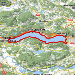
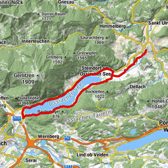
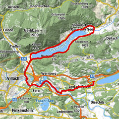
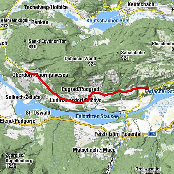
- Reitti
-
Rupertiberg0,3 kmOberdörfl0,8 kmFranzendorf2,7 kmLudmannsdorf3,5 kmHl. Jakobus der Ältere3,6 kmBach5,2 kmFellersdorf5,9 kmMuschkau8,2 km
- Paras kausi
-
tammihelmimaalishuhtitoukokesäheinäelosyyslokamarrasjoulu
- Korkein kohta
- 677 m
- Korkeusprofiili
-

-

-
KirjoittajaKiertue Teilstück Ironman - Panorama Radstrecke käyttää outdooractive.com toimitettu.
GPS Downloads


Yleistä tietoa
Virvokepysäkki
Lupaava
Lisää retkiä alueilla