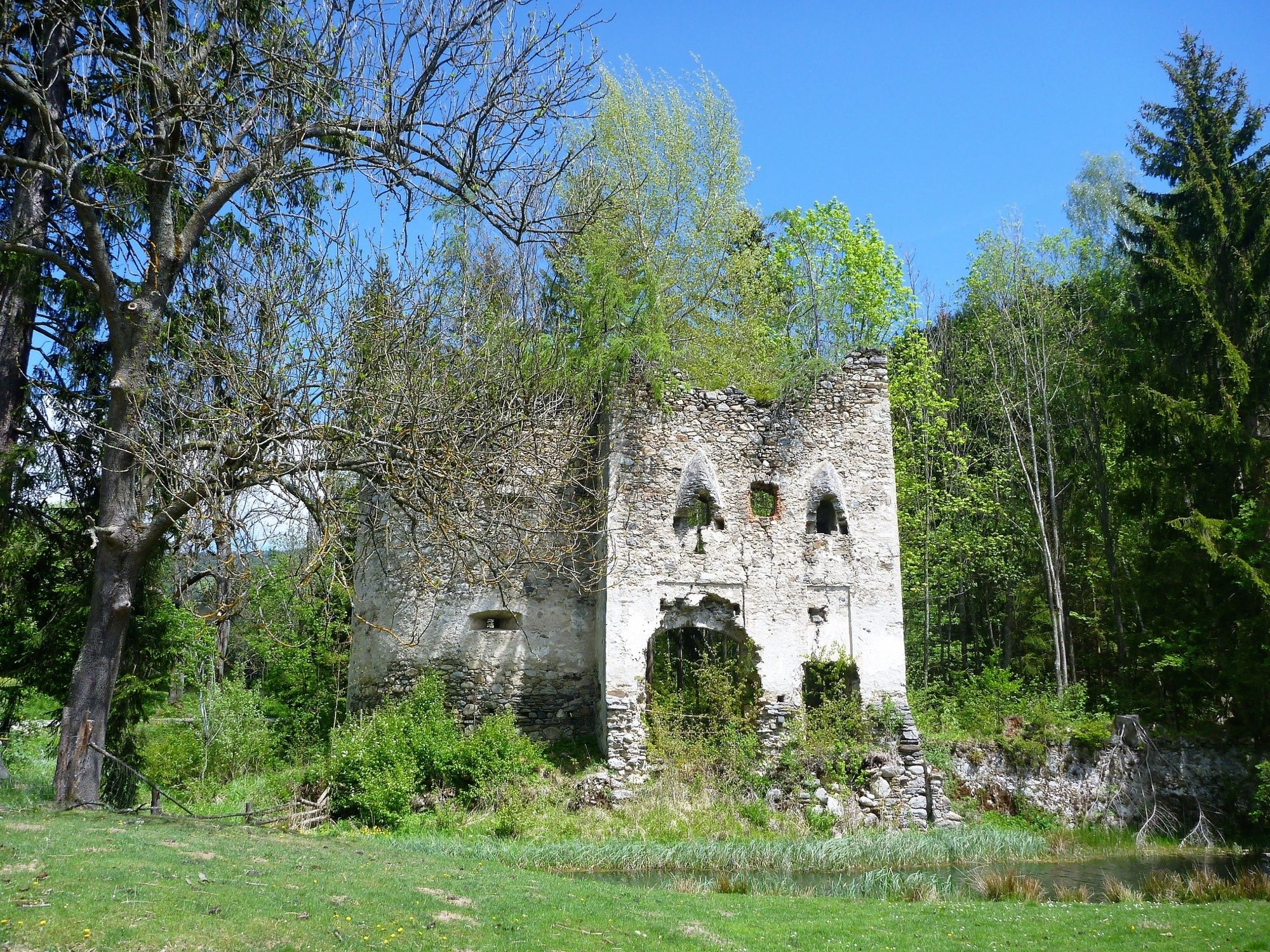
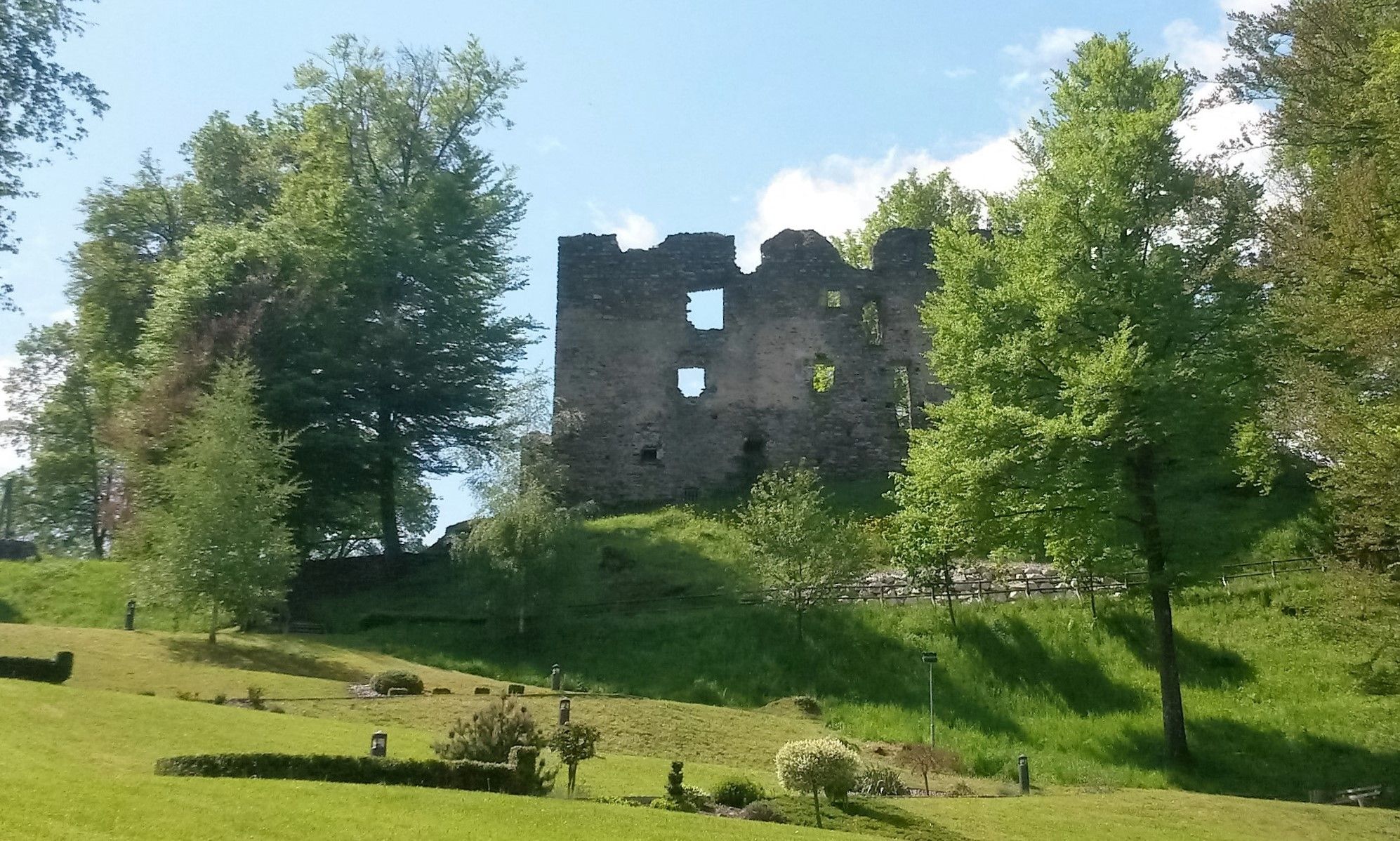
© Lavanttal - Castello Schloss Lichtengraben

© Lavanttal - @rittler

© KSL Tourismus Marketing GmbH - Schober Erich


© KSL Tourismus Marketing GmbH - Graßler Herbert


- Lyhyt kuvaus
-
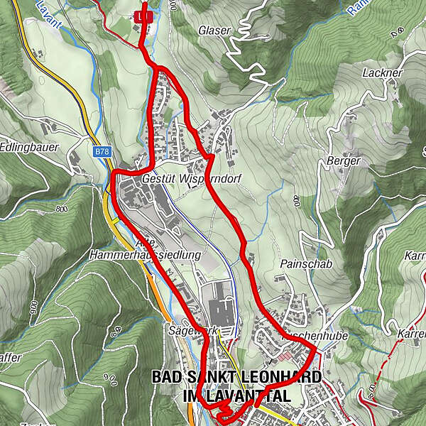
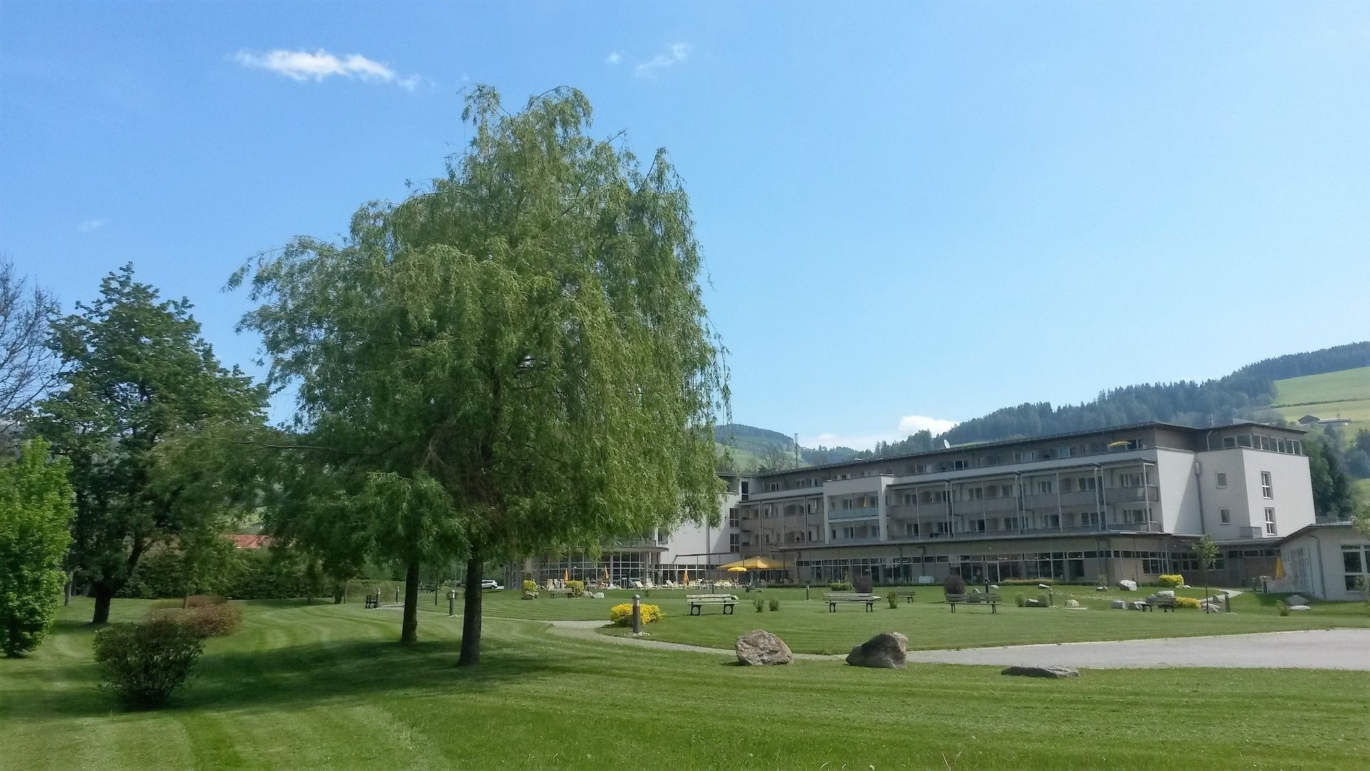
Kurze und sehr schöne Wanderung rund um Bad St.Leonhard mit kulturellen und kulinarischen Höhepunkten.
- Vaikeus
-
helppo
- Arviointi
-
- Reitti
-
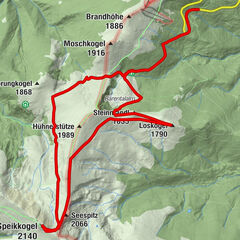
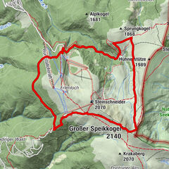
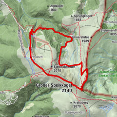
Bad Sankt Leonhard im Lavanttal (714 m)0,0 kmLichtengraben3,0 kmHofladen Lichtengraben3,2 kmBärnthaler4,8 kmBadsiedlung5,5 kmBad Sankt Leonhard im Lavanttal (714 m)5,9 kmMarienerscheinung6,5 kmFilialkirche hl. Kunigunde6,6 kmGasthof Geiger6,7 kmOberes Stadttor Geigereck6,7 km
- Paras kausi
-
tammihelmimaalishuhtitoukokesäheinäelosyyslokamarrasjoulu
- Korkein kohta
- 787 m
- Kohde
-
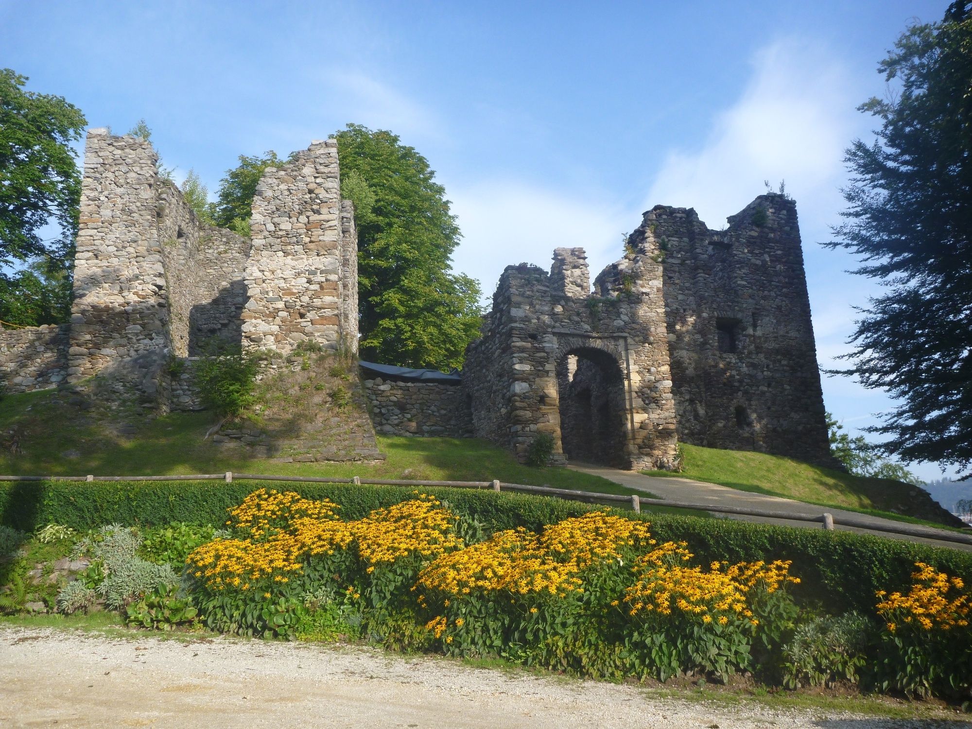
Schlossberg
- Korkeusprofiili
-

-

-
KirjoittajaKiertue Bad St. Leonhard: L1 Wanderung Wisperndorf käyttää outdooractive.com toimitettu.
GPS Downloads


Yleistä tietoa
Virvokepysäkki
Parantava ilmasto
Kulttuuri/Historiallinen
Flora
Fauna
Lisää retkiä alueilla