
- Lyhyt kuvaus
-
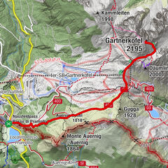
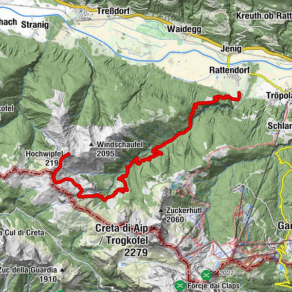
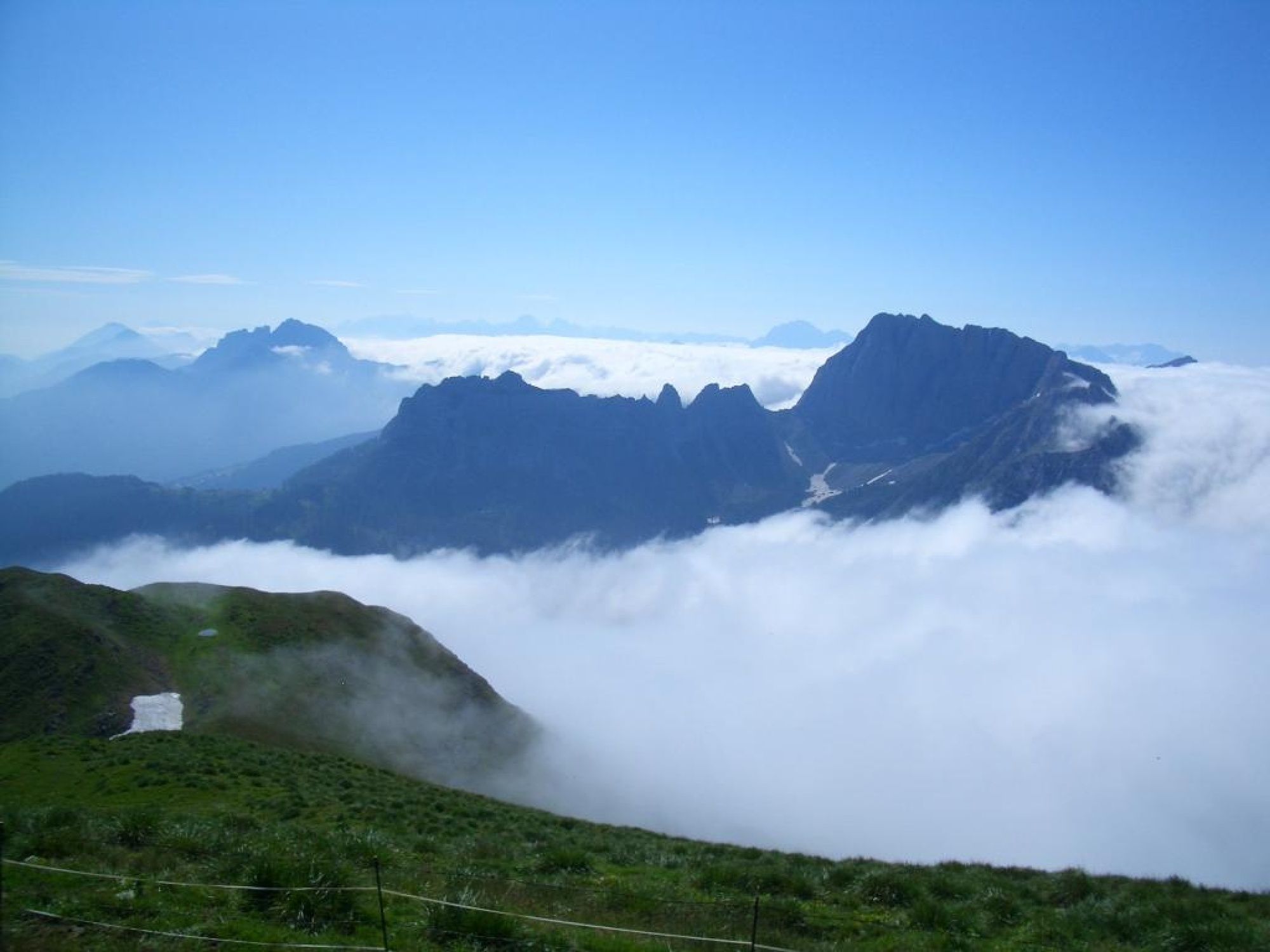
Over almost endless mountain slopes, nock-like heights and historical paths very long and very lonely on the way in the heart of the Carnic Alps.
- Vaikeus
-
tapa
- Arviointi
-
- Reitti
-
Rattendorfer Alm0,1 kmSchulter (2.057 m)3,9 kmHochwipfel (2.195 m)4,7 kmRattendorfer Alm9,2 km
- Paras kausi
-
tammihelmimaalishuhtitoukokesäheinäelosyyslokamarrasjoulu
- Korkein kohta
- 2.151 m
- Kohde
-
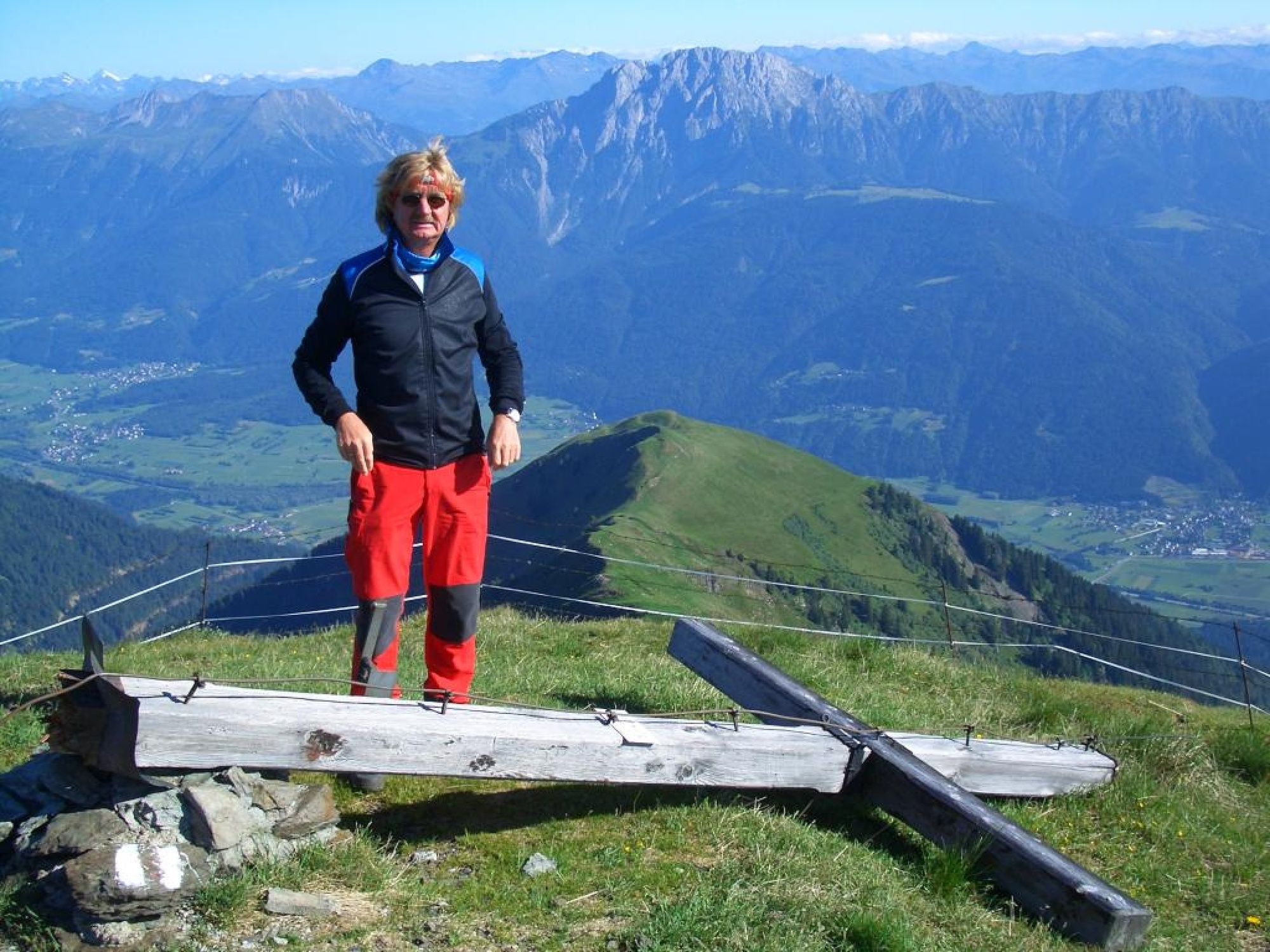
Hochwipfel (2.195 m)
- Korkeusprofiili
-

- Kirjoittaja
-
Kiertue Hochwipfel (2.195 m) über Rattendorfer Alm käyttää outdooractive.com toimitettu.
GPS Downloads


Yleistä tietoa
Virvokepysäkki
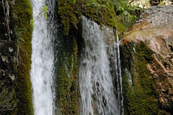
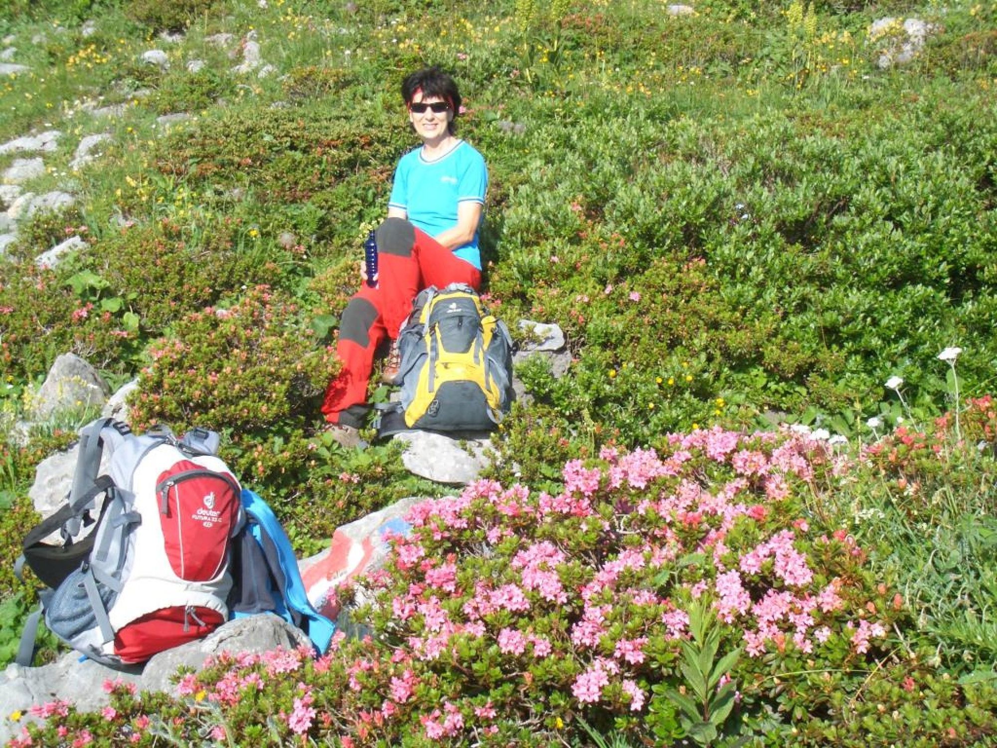
Flora
Lisää retkiä alueilla