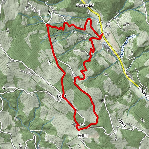
Rundtour-Bad Weißenbach- Forst- Bad Weißenbach-Wegnr.- 1b,1c


- Lyhyt kuvaus
-
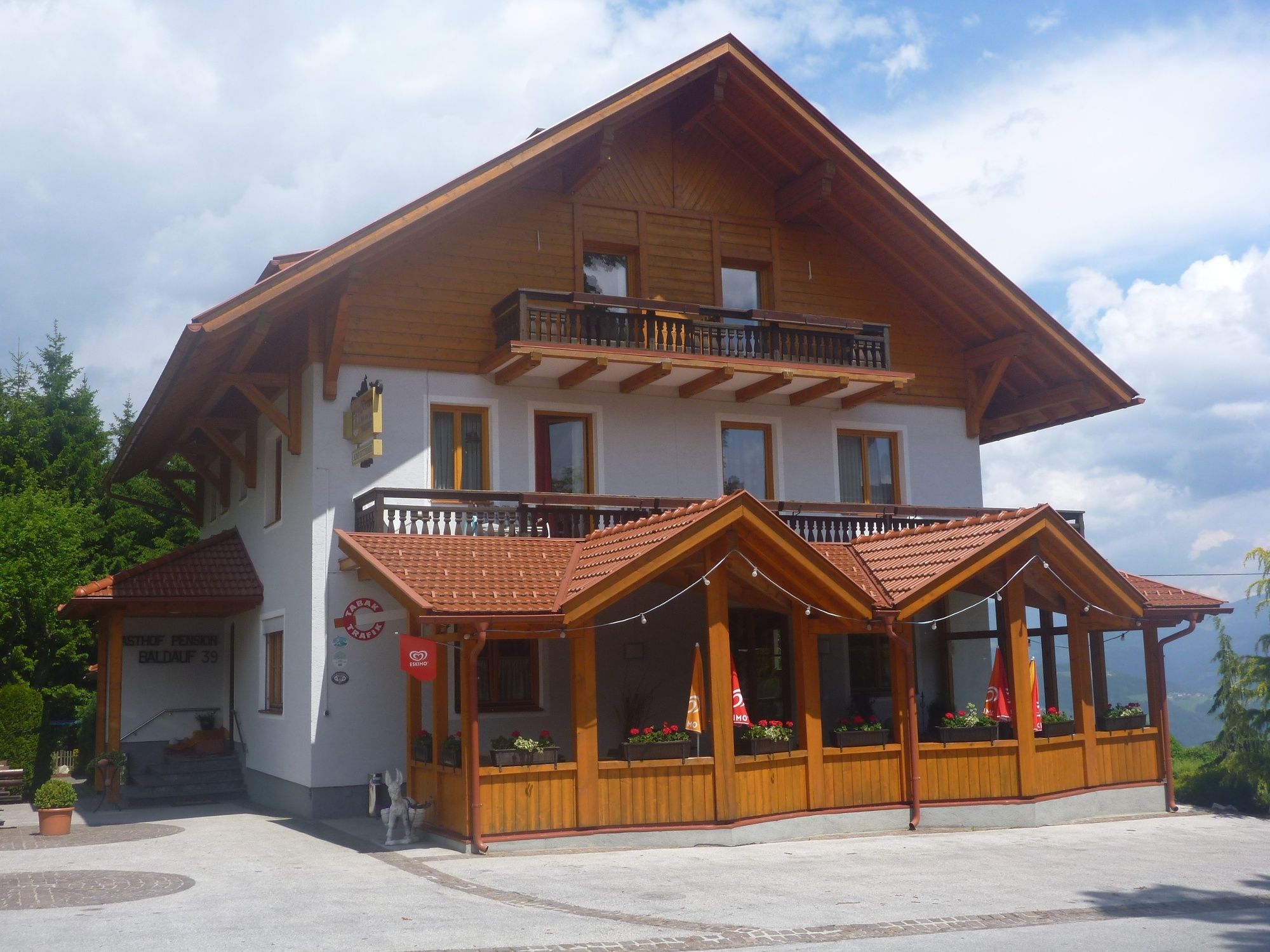
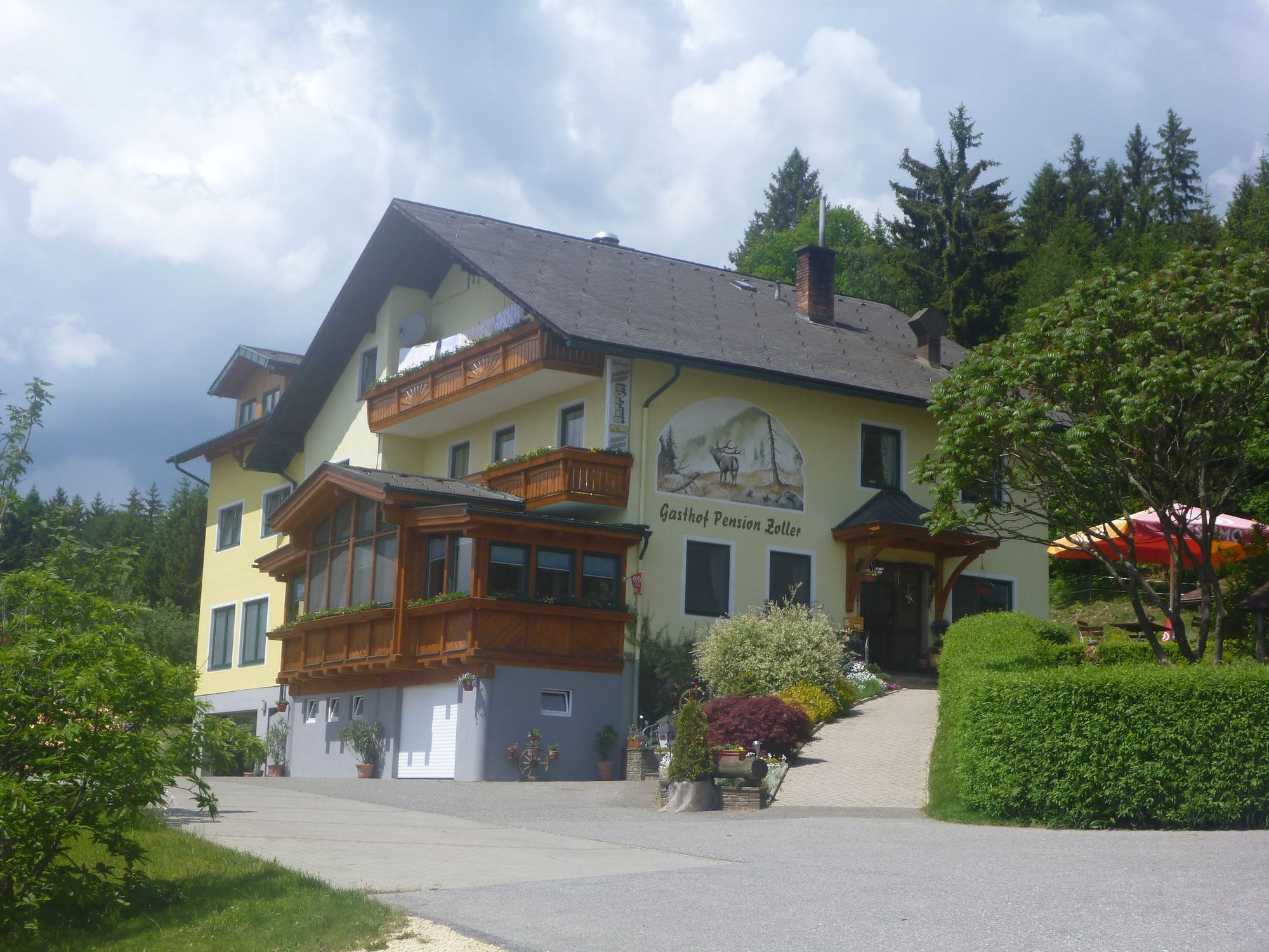
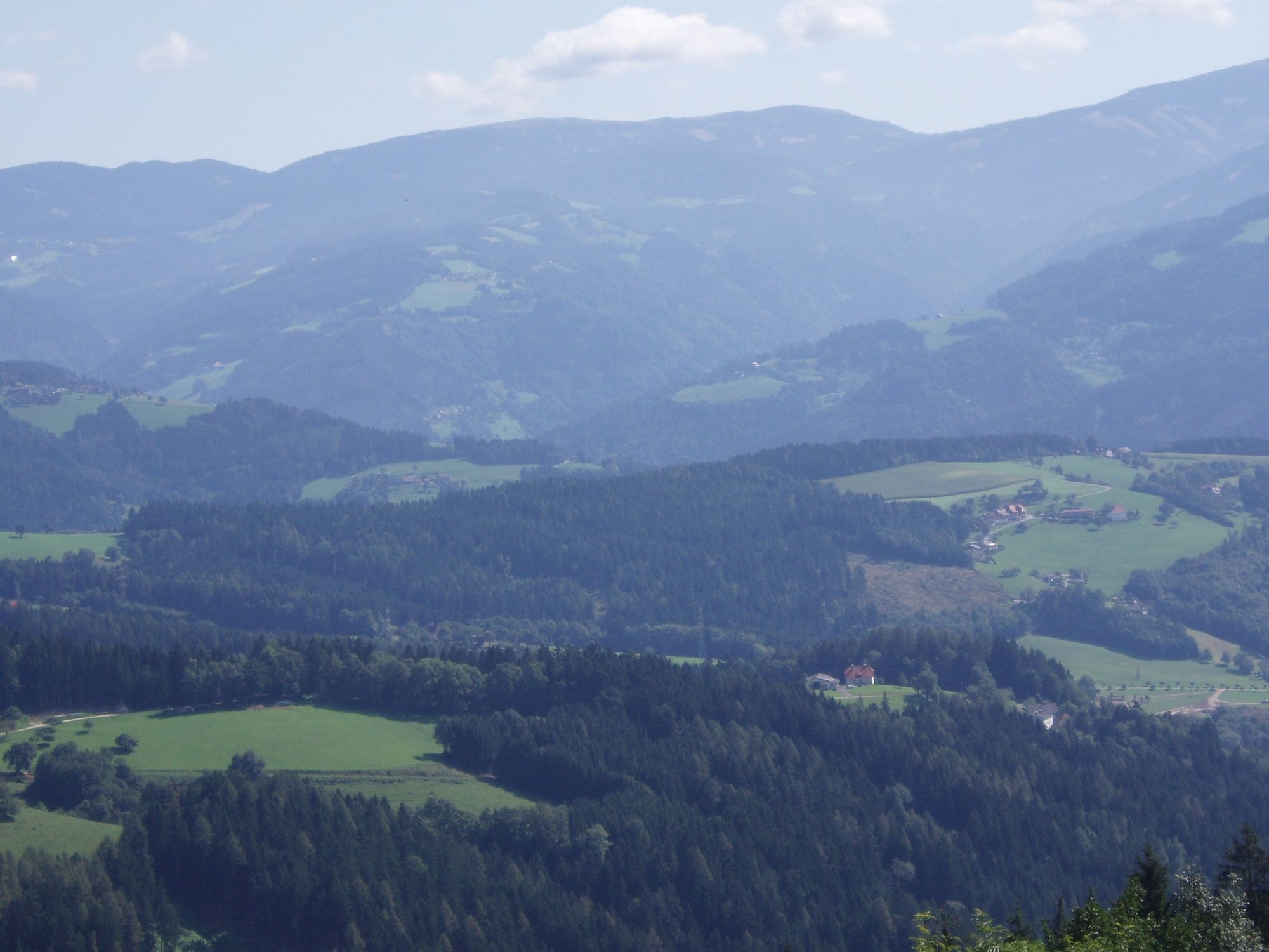
Dieser Wanderweg führt in das Bergdorf "Forst". Viele Gasthöfe laden zur " Einkehr" ein.
Forst ist sonnige Bergdorf, in traumhafter Berglage mit weitum bester Fernsicht.
- Vaikeus
-
tapa
- Arviointi
-
- Reitti
-
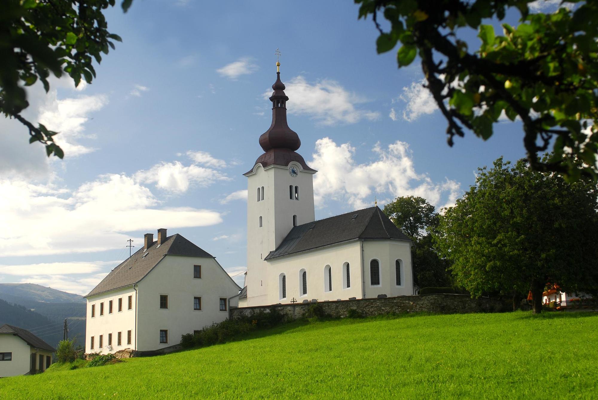
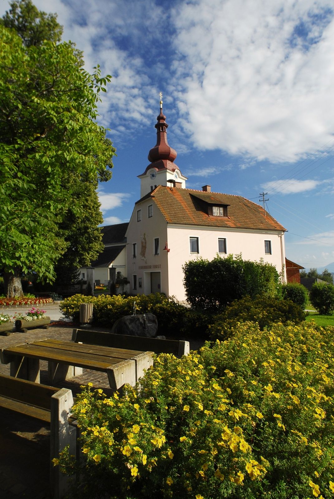
Pfarrkirche hl. Johannes der Täufer2,9 kmForst3,0 kmFelfer3,8 km
- Paras kausi
-
tammihelmimaalishuhtitoukokesäheinäelosyyslokamarrasjoulu
- Korkein kohta
- 969 m
- Kohde
-
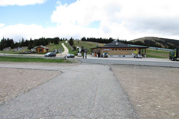
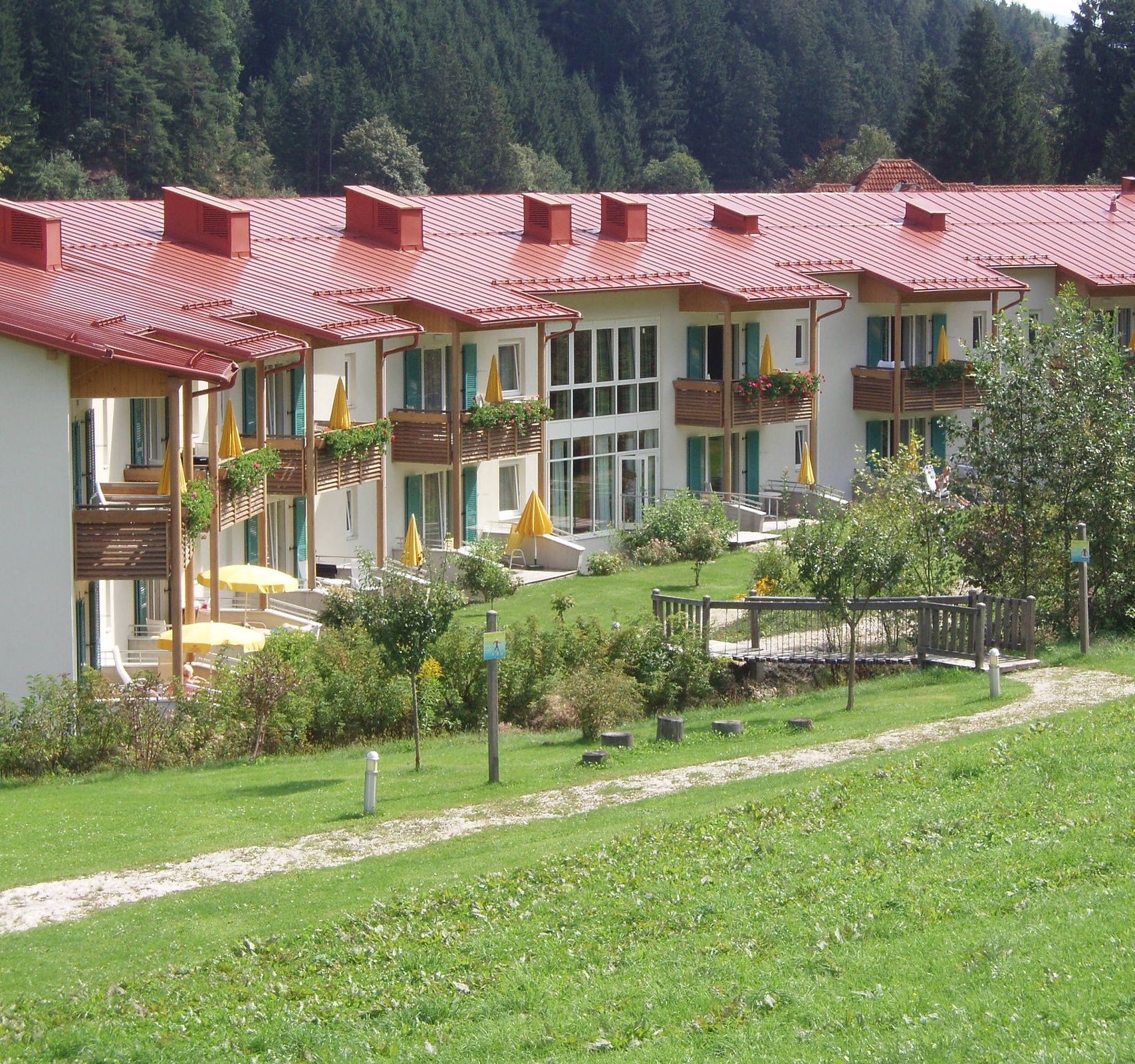
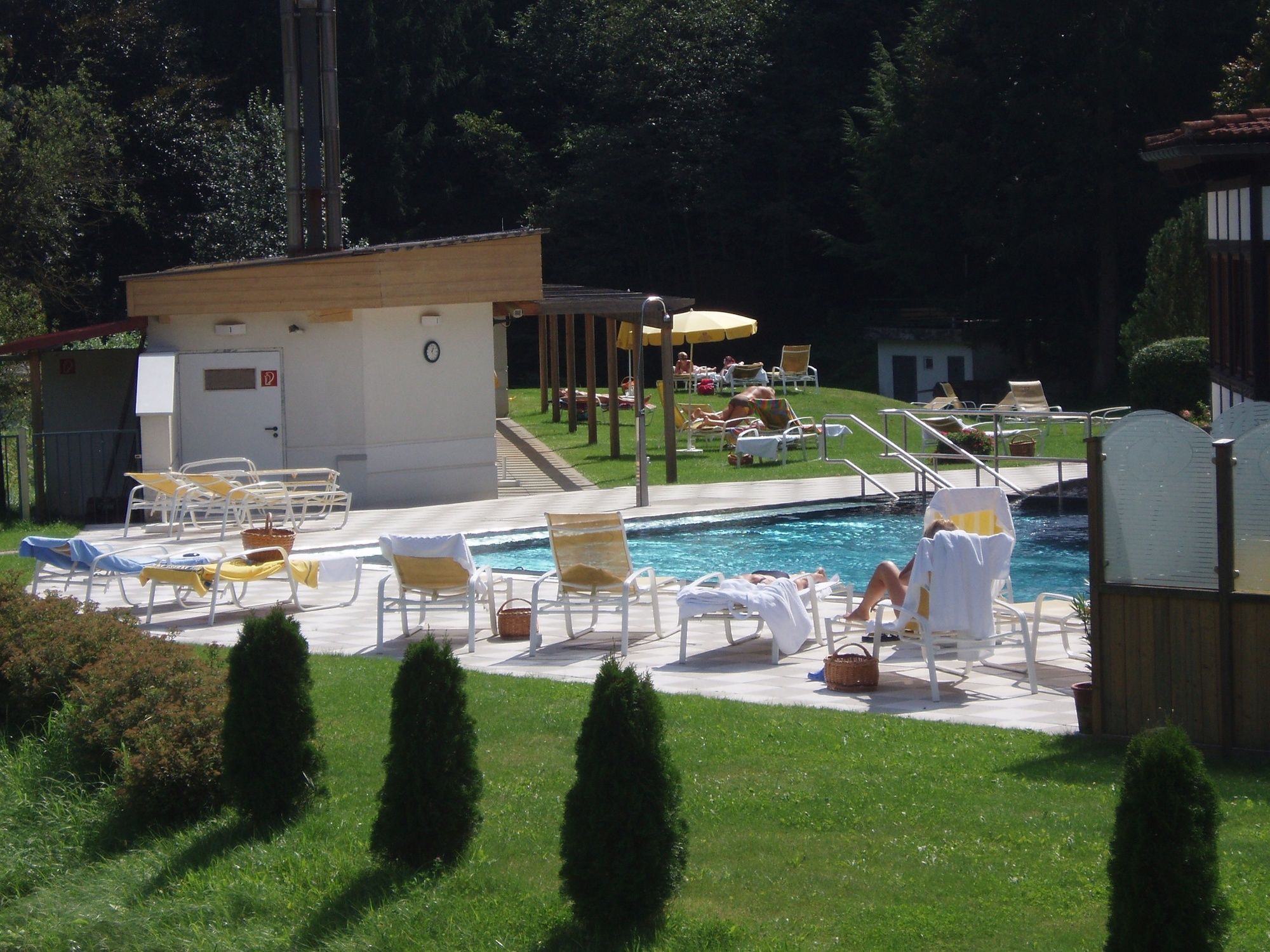
Thermalbad Bad Weißenbach
- Korkeusprofiili
-

- Kirjoittaja
-
Kiertue Rundtour-Bad Weißenbach- Forst- Bad Weißenbach-Wegnr.- 1b,1c käyttää outdooractive.com toimitettu.
GPS Downloads


Yleistä tietoa
Virvokepysäkki
Lupaava
Lisää retkiä alueilla
-
Klopeiner See - Südkärnten
1169
-
Lavanttal
611
-
Wolfsberg
109