
- Lyhyt kuvaus
-
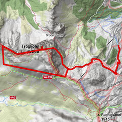
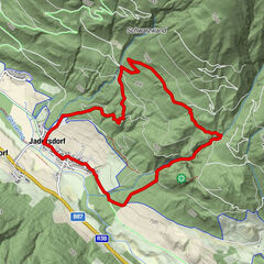
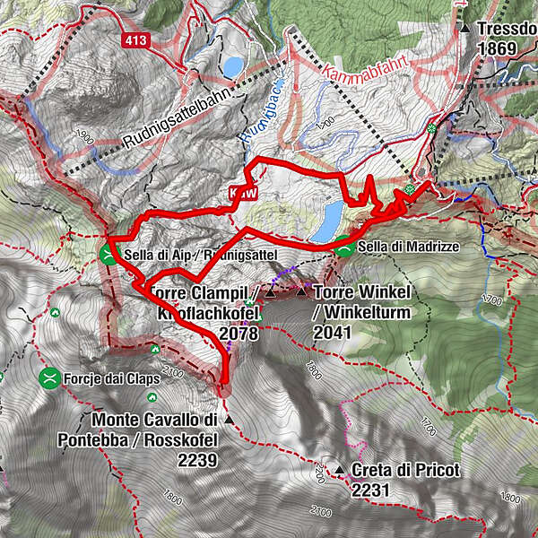
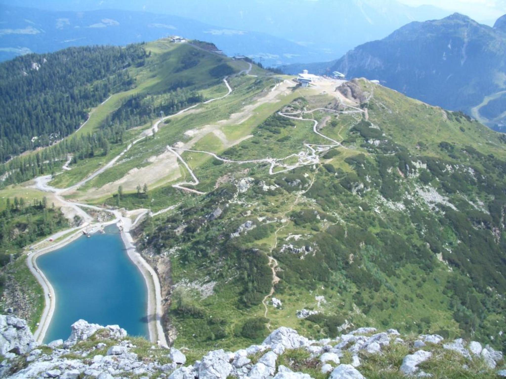
There are many different ways to reach the Roßkofel. The following tour description is just one but an interesting and not too difficult option. Starting at Tröpolach, take the Millennium Express for a leisurely uphill ride to the Madritsche. An „environmentally friendly start“ to the most beautiful parts of the Carnic Alps, so to speak.
The car will be left in the valley for the day.
- Vaikeus
-
vaikea
- Arviointi
-
- Reitti
-
Madritschen (1.918 m)0,0 kmSella di Madrizze (1.832 m)0,6 kmRudnik-Sattel3,5 kmMadritschen (1.918 m)6,0 km
- Paras kausi
-
tammihelmimaalishuhtitoukokesäheinäelosyyslokamarrasjoulu
- Korkein kohta
- 2.195 m
- Kohde
-
Roßkofel (2.240 m)
- Korkeusprofiili
-


- Kirjoittaja
-
Kiertue Roßkofel käyttää outdooractive.com toimitettu.
GPS Downloads


Yleistä tietoa
Virvokepysäkki
Sisäpiirin vinkki
Lupaava
Lisää retkiä alueilla