© Naturfreunde Brückl
© Naturfreunde Brückl
Retkitiedot
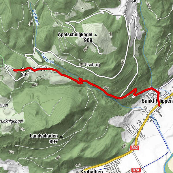
2,93km
480
- 890m
400hm
400hm
01:00h
- Lyhyt kuvaus
-
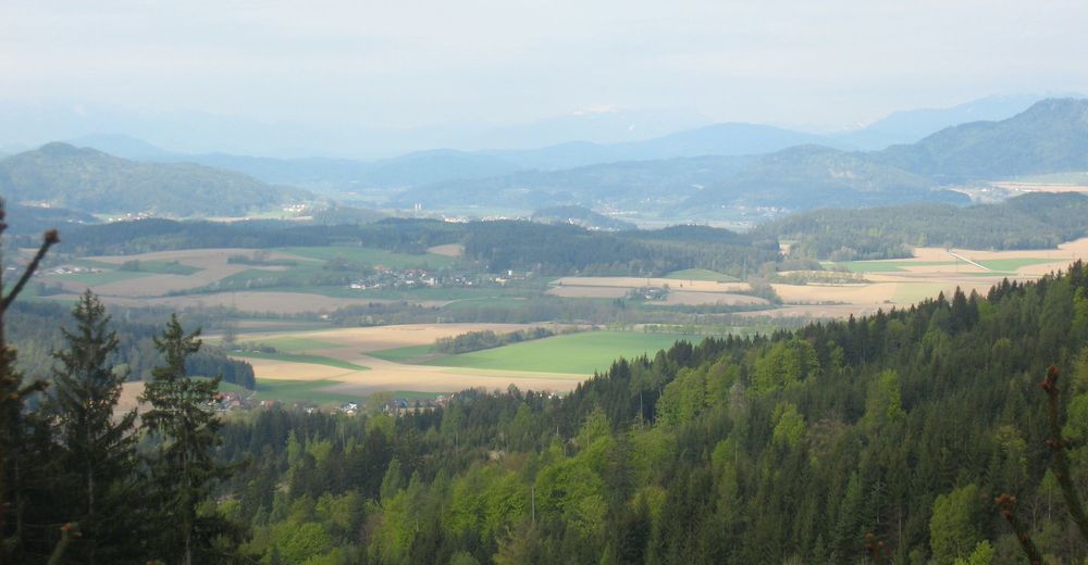
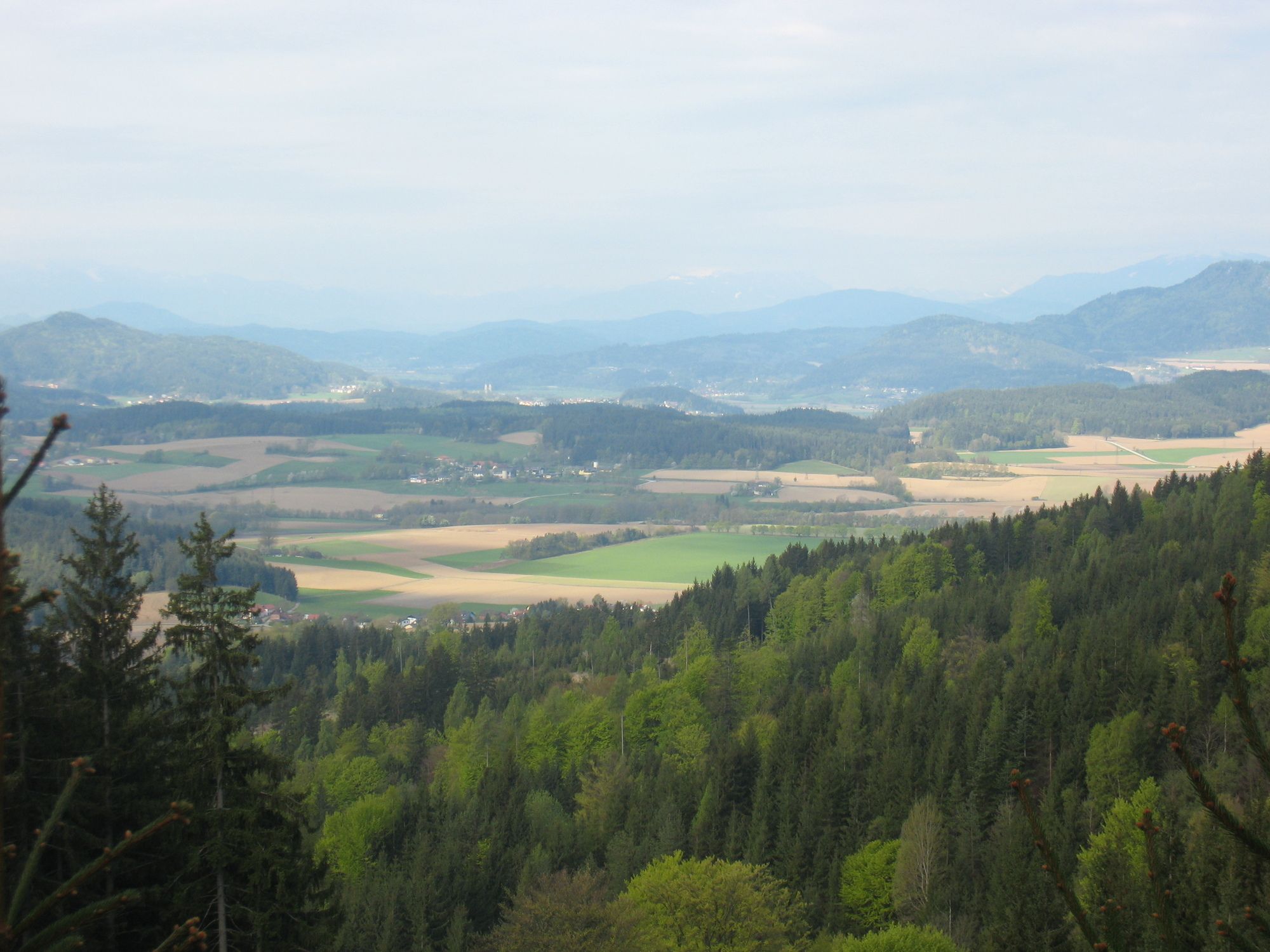
Der kürzeste Wanderweg auf den Christofberg
- Vaikeus
-
helppo
- Arviointi
-
- Lähtöpiste
-
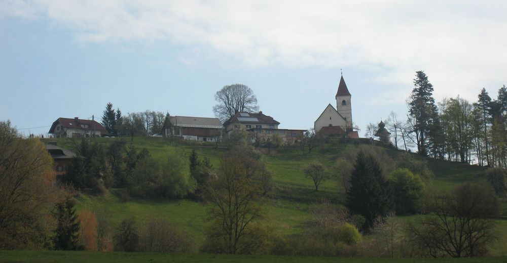
St.Filippen
- Reitti
-
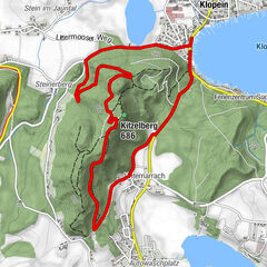
Sankt Filippen0,0 kmValente0,2 kmChristofberg (957 m)2,9 kmSt. Christof2,9 kmGasthaus Zum Messner2,9 km
- Paras kausi
-
tammihelmimaalishuhtitoukokesäheinäelosyyslokamarrasjoulu
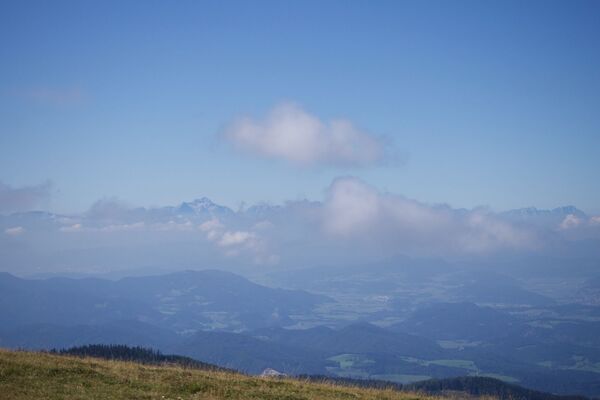
- Korkein kohta
- 890 m
- Kohde
-
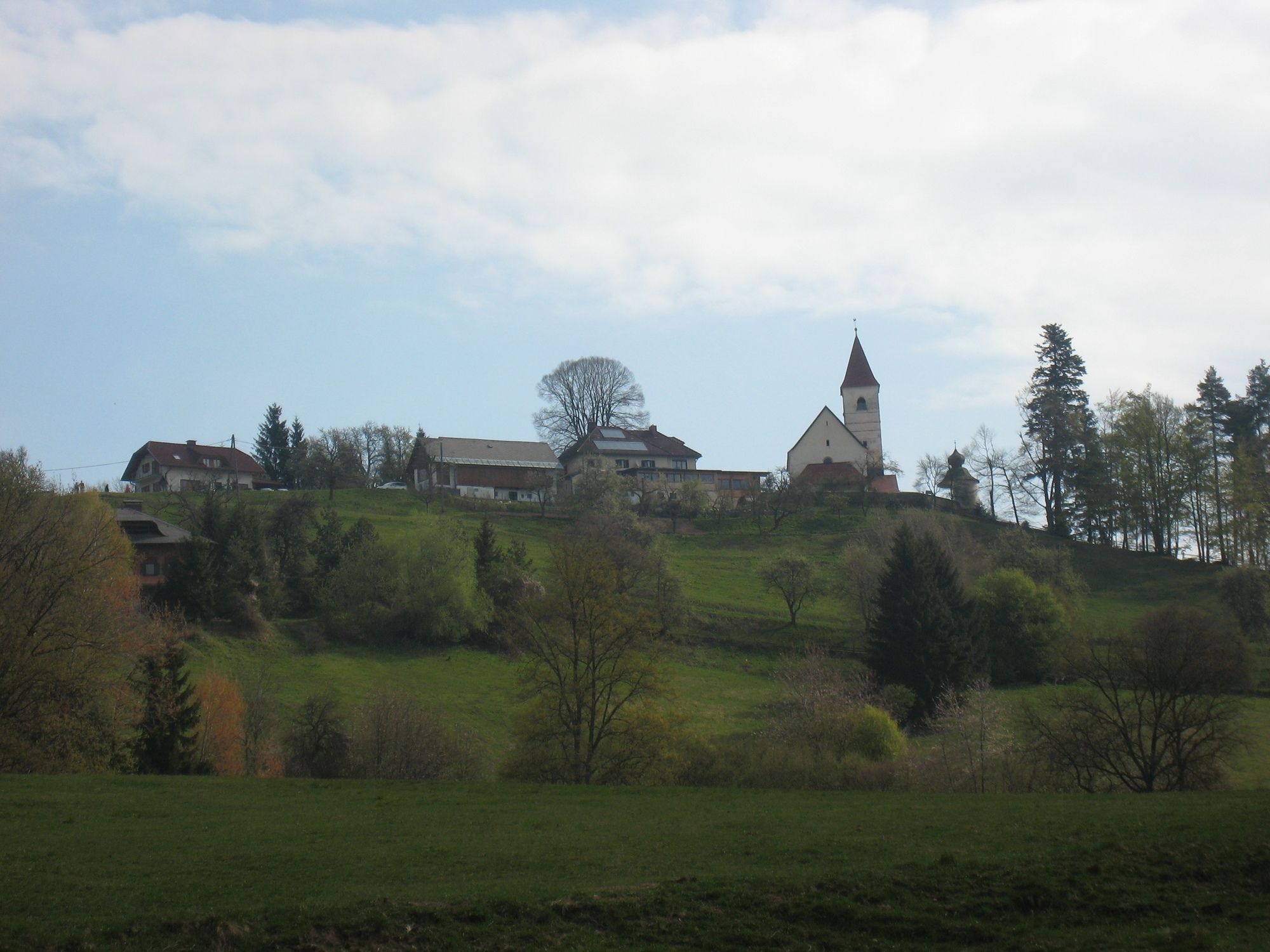
Christofberg
- Lepo/Retriitti
-
GH Messner (Succalia) am Christofberg
- Lähde
- Naturfreunde Brückl
GPS Downloads


Polun olosuhteet
Asfaltti
Sora
Niitty
Metsä
Kallio
Altistettu
Lisää retkiä alueilla
-
Klagenfurt und Umgebung
1535
-
Magdalensberg
135