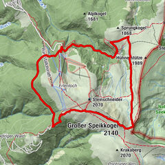
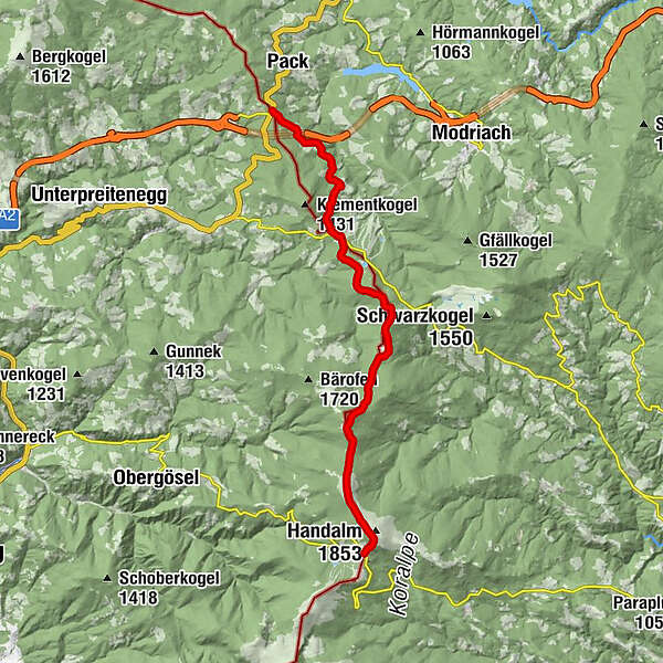
Lavanttaler Höhenweg Etappe: Etappe 3 von der Weinebene zum Packsattel


© KSL Tourismus Marketing GmbH - Schober Erich
© KSL Tourismus Marketing GmbH - Schober Erich
© KSL Tourismus Marketing GmbH - Schober Erich
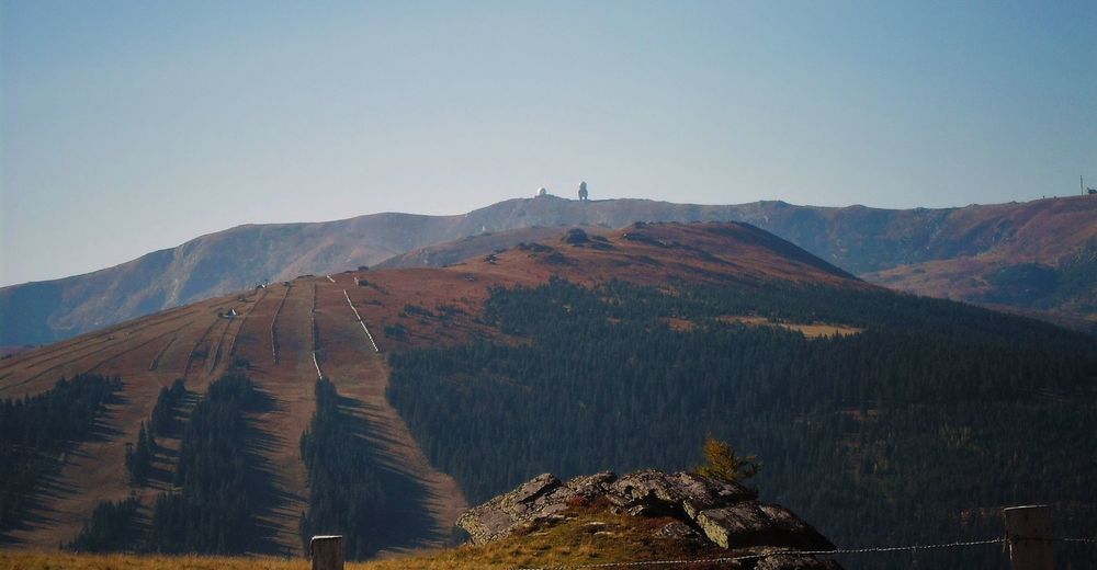
© KSL Tourismus Marketing GmbH - Herbert Graßler
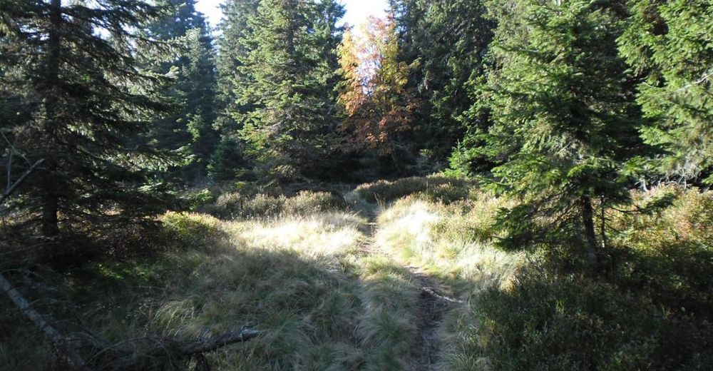
© KSL Tourismus Marketing GmbH - Schober Erich
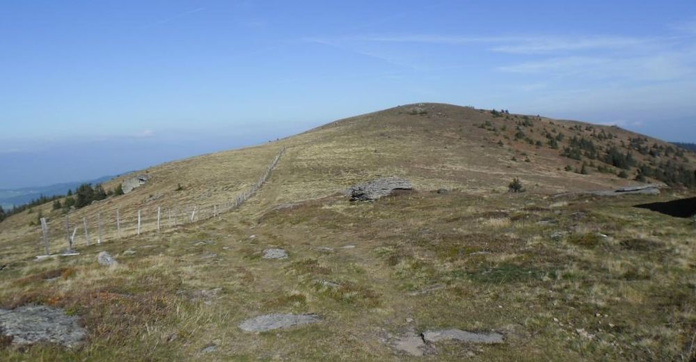
© KSL Tourismus Marketing GmbH - Siegfried Salzmann, ÖAV Sektion Deutschlandsberg

© KSL Tourismus Marketing GmbH - Siegfried Salzmann, ÖAV Sektion Deutschlandsberg

- Lyhyt kuvaus
-
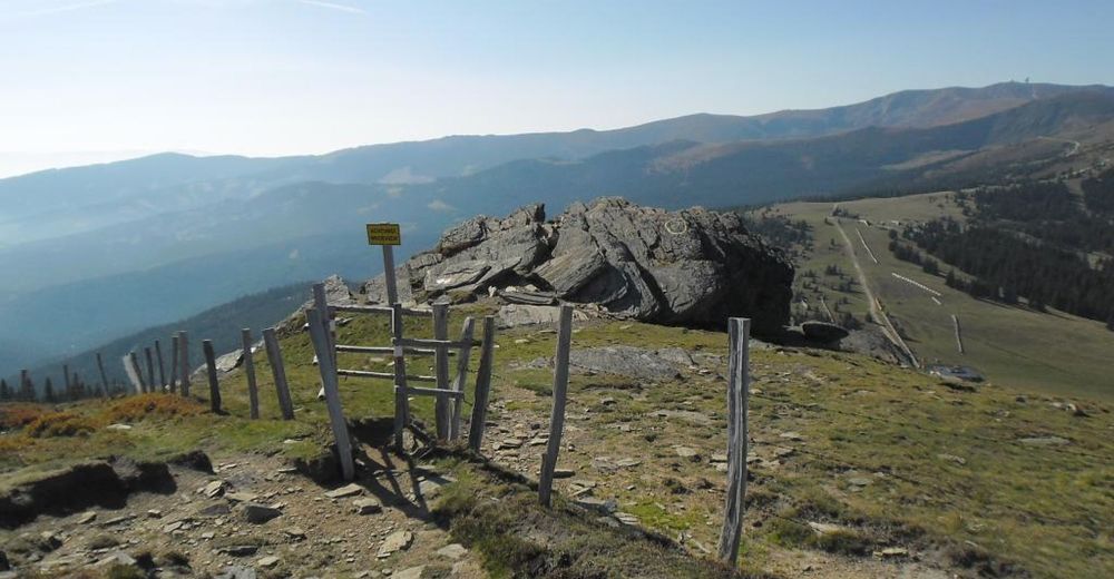
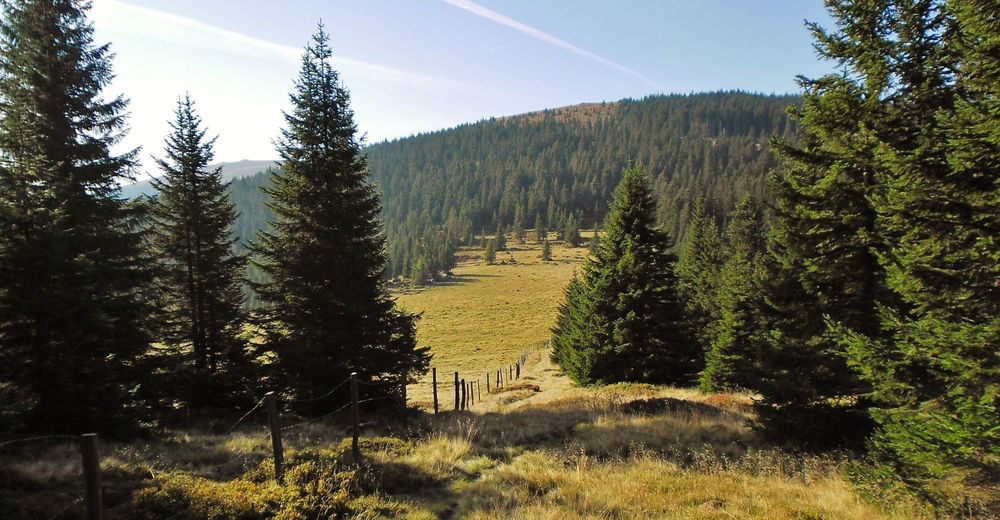
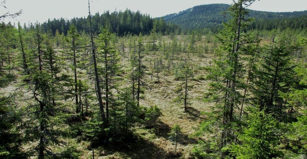
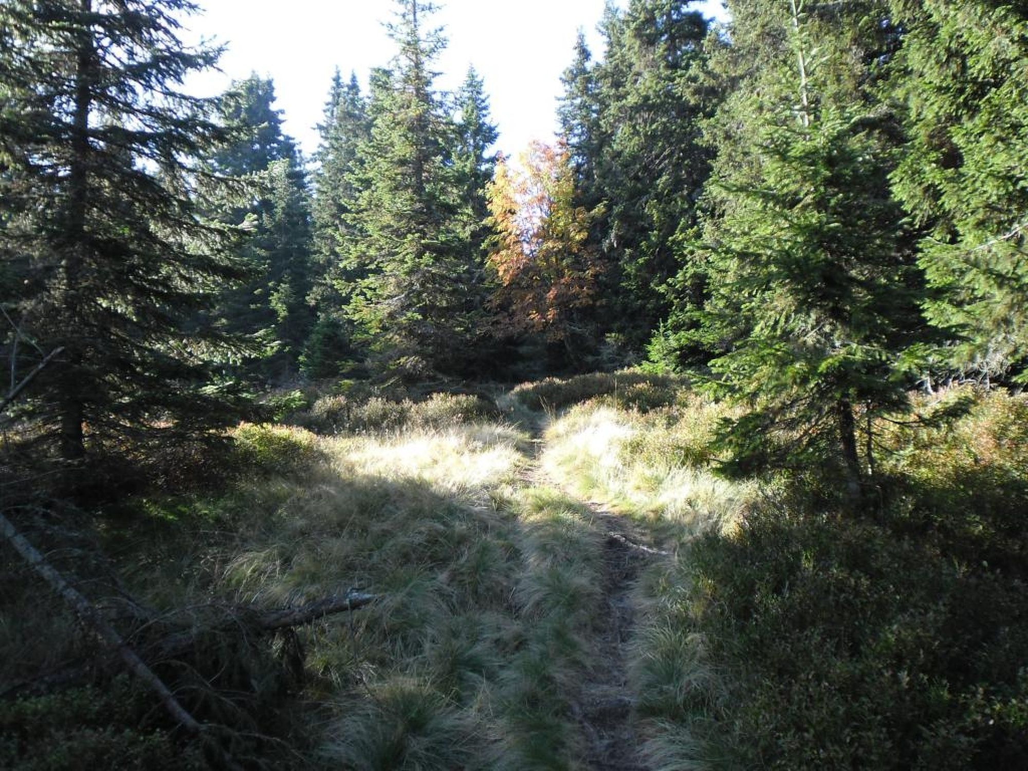
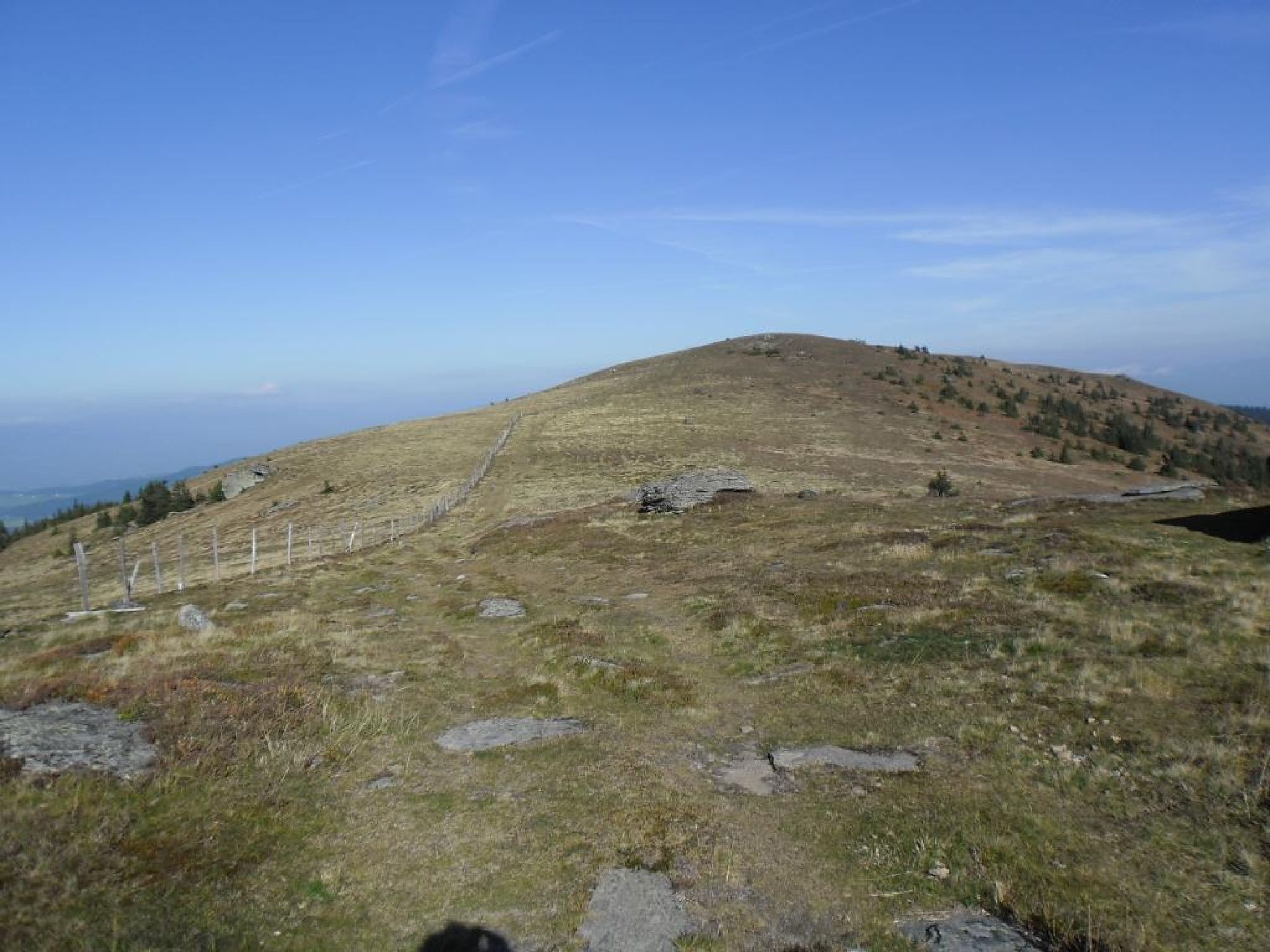
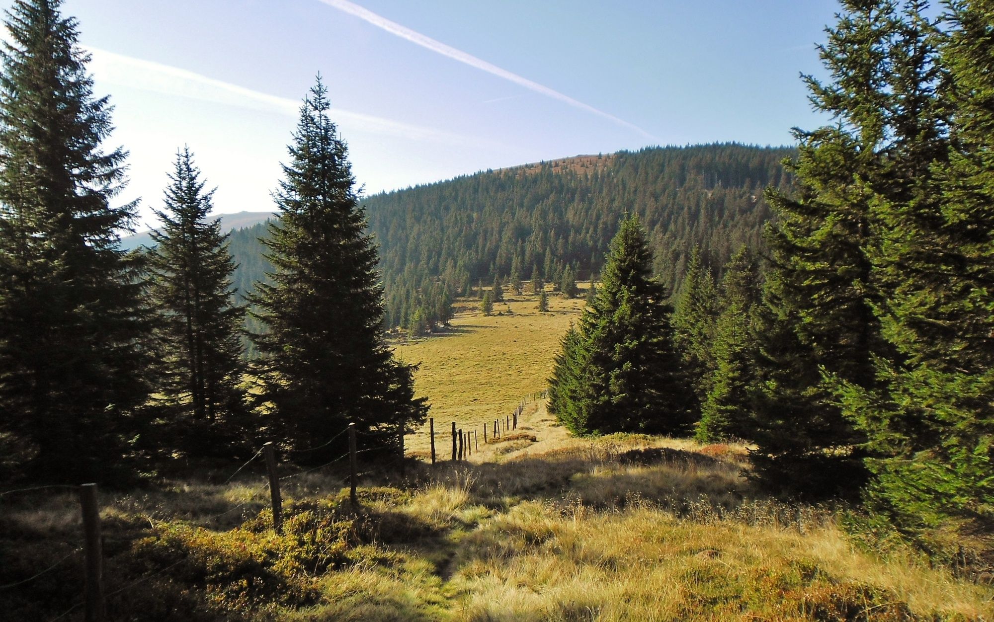
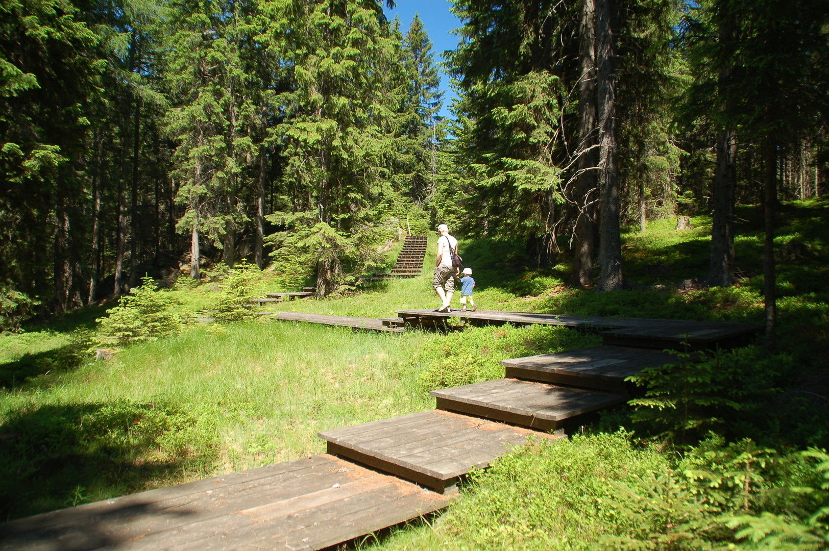
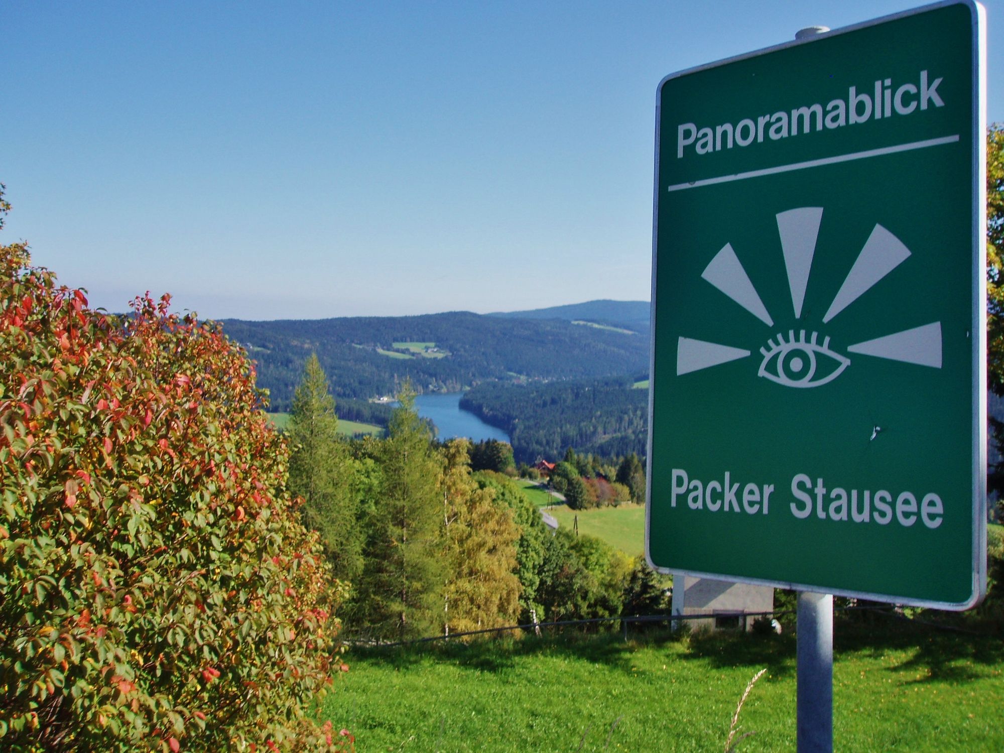
Ein Wandererlebnis für die ganze Familie. Abwechslungsreiche Etappe auf idyllischen Wald- und Almwegen im Grenzgebiet zwischen Kärnten und der Steiermark.
- Vaikeus
-
tapa
- Arviointi
-
- Reitti
-
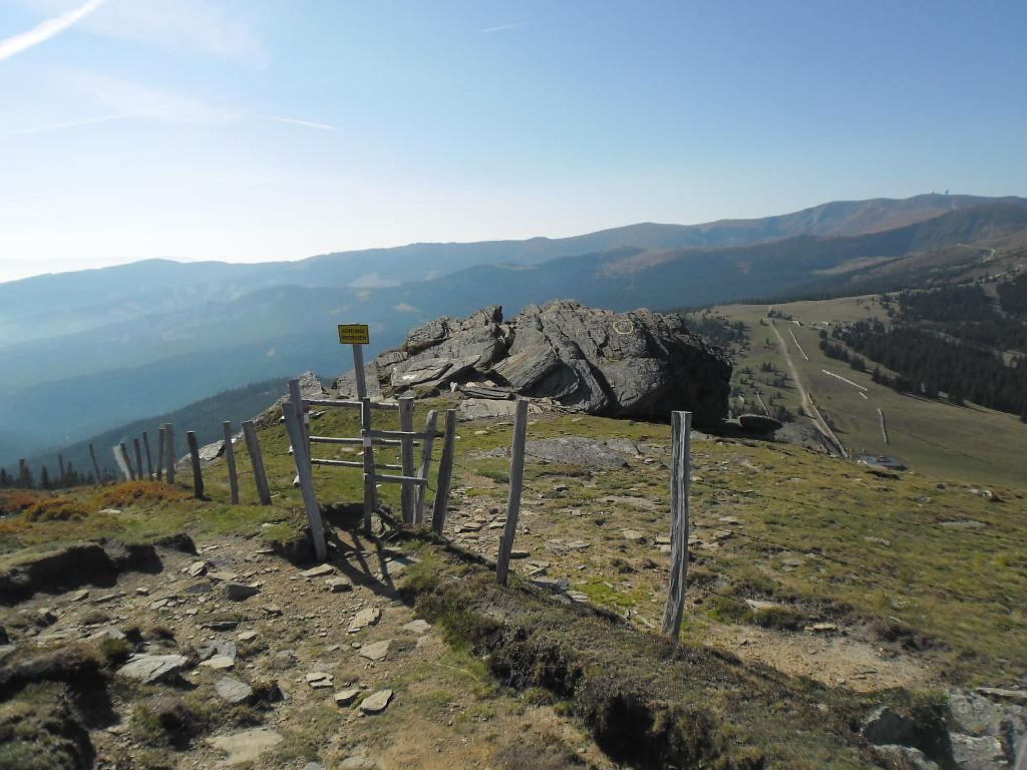
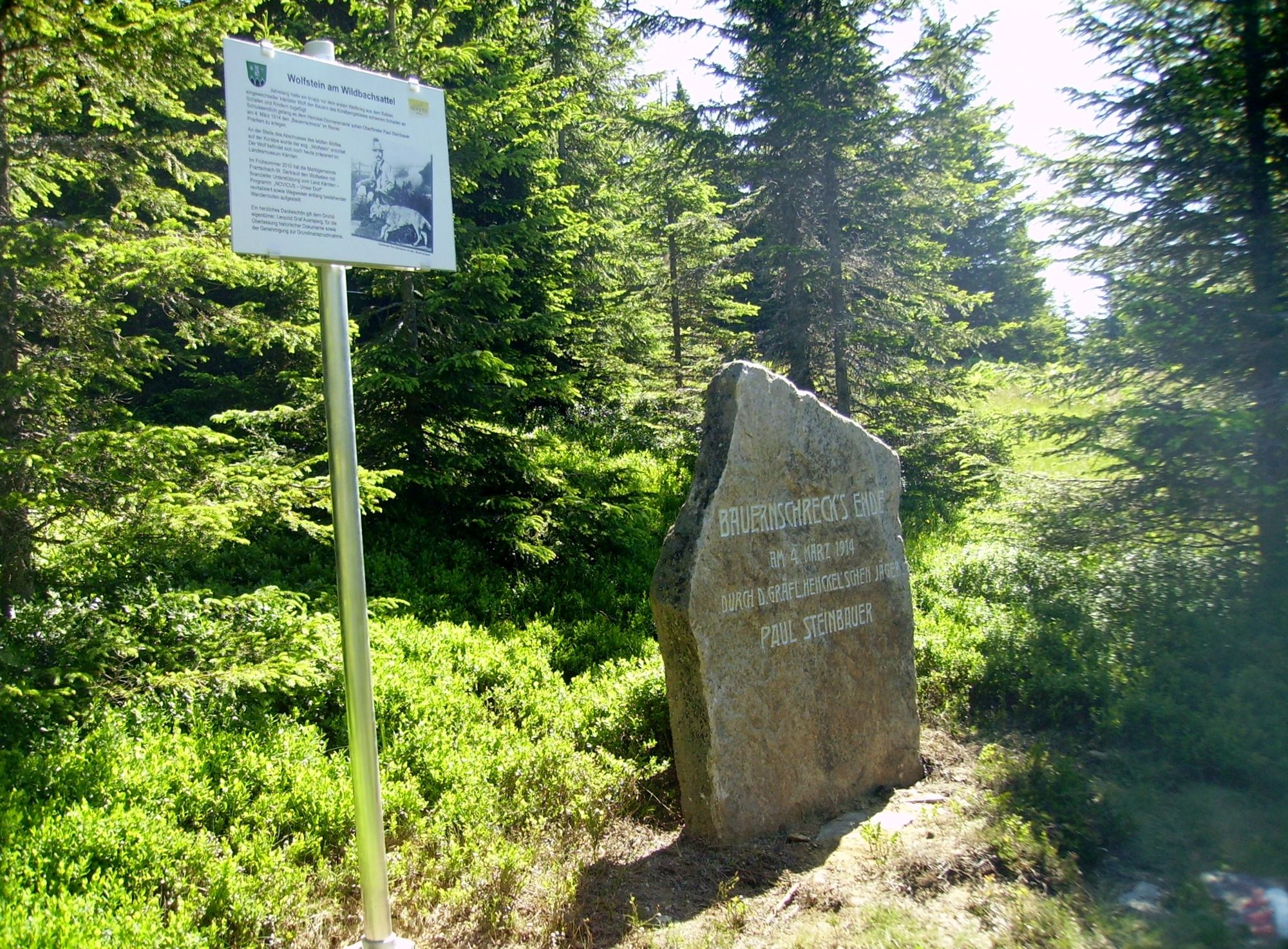
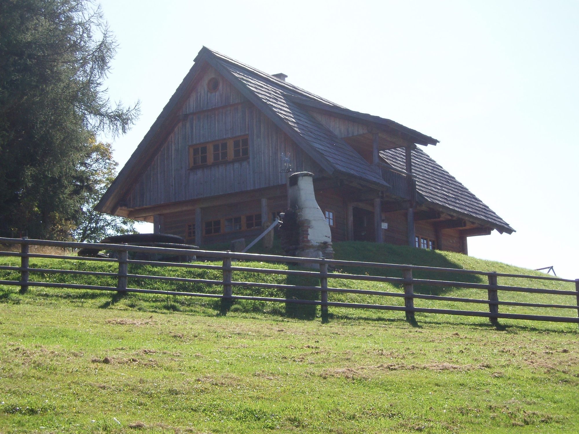
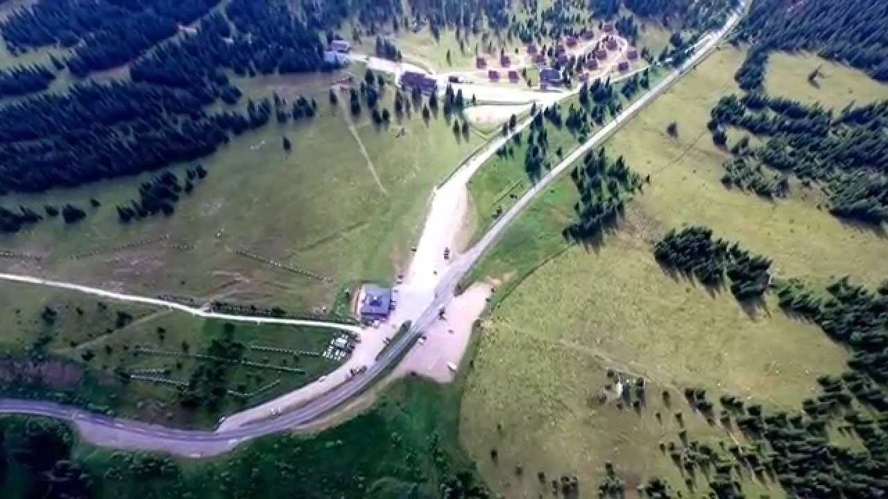
Pauluskapelle0,2 kmWeberkogel (1.805 m)2,3 kmWildbachsattel (1.605 m)3,5 kmFichtenhof und Hebalmranch12,2 km
- Paras kausi
-
tammihelmimaalishuhtitoukokesäheinäelosyyslokamarrasjoulu
- Korkein kohta
- 1.829 m
- Kohde
-
Packsattel
- Korkeusprofiili
-


-

-
KirjoittajaKiertue Lavanttaler Höhenweg Etappe: Etappe 3 von der Weinebene zum Packsattel käyttää outdooractive.com toimitettu.
GPS Downloads


Yleistä tietoa
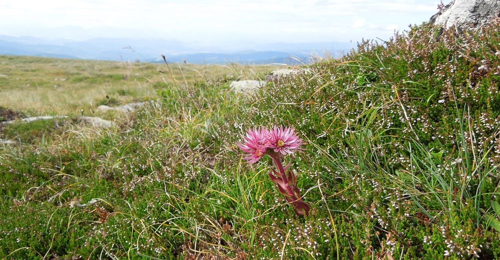
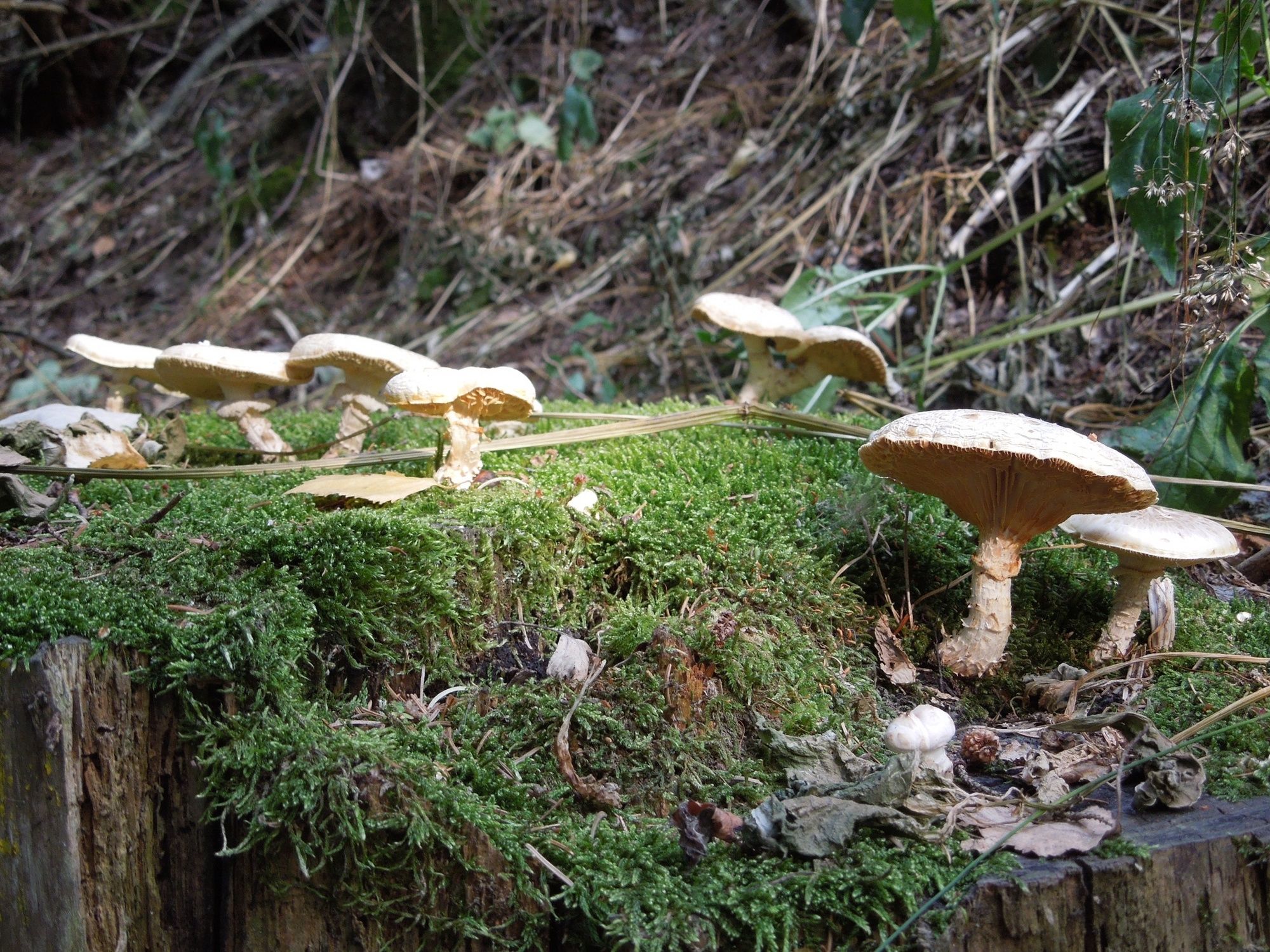
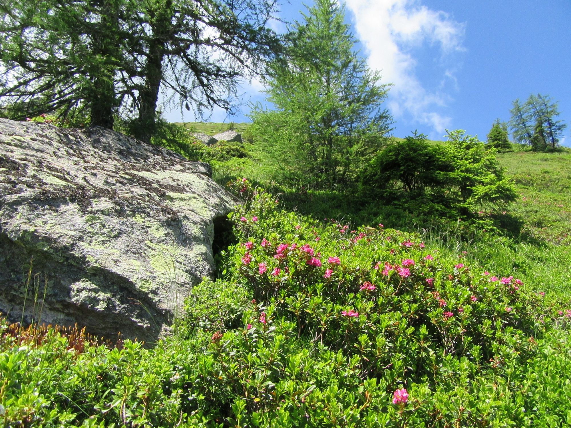
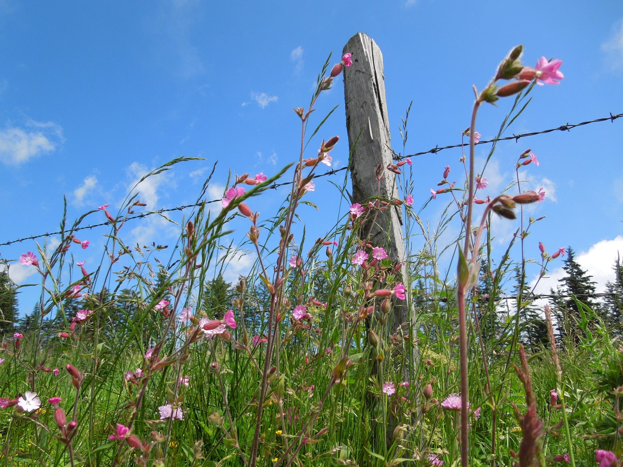
Flora
Lupaava
Lisää retkiä alueilla
-
Erlebnisregion Graz
2782
-
Lavanttal
607
-
Modriach
247