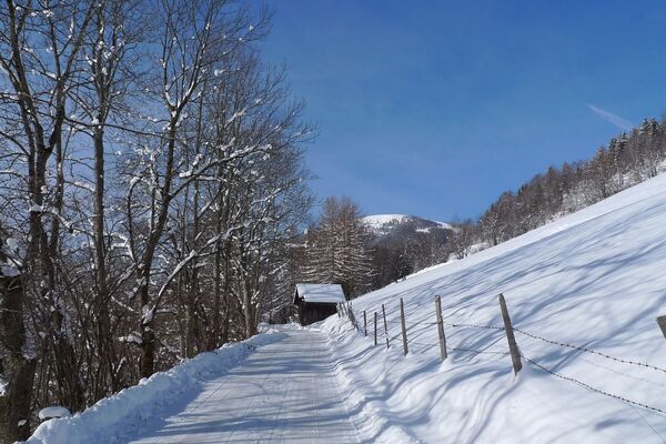
© Michael Kleinsasser

© Michael Kleinsasser

© Michael Kleinsasser

© Michael Kleinsasser
Retkitiedot
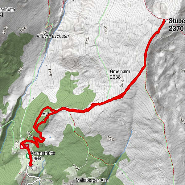
8km
1.600
- 2.370m
745hm
751hm
03:12h
- Lyhyt kuvaus
-
Von der Leonhardhütte am Maltaberg aufs Stubeck
- Vaikeus
-
tapa
- Arviointi
-
- Lähtöpiste
-
Leonhardhütte
- Reitti
-
LeonardhütteKramerhütte0,1 kmStubeck (2.370 m)4,0 kmKramerhütte7,8 kmLeonardhütte7,9 km
- Paras kausi
-
elosyyslokamarrasjoulutammihelmimaalishuhtitoukokesäheinä
- Korkein kohta
- Stubeck (2.370 m)
- Kohde
-
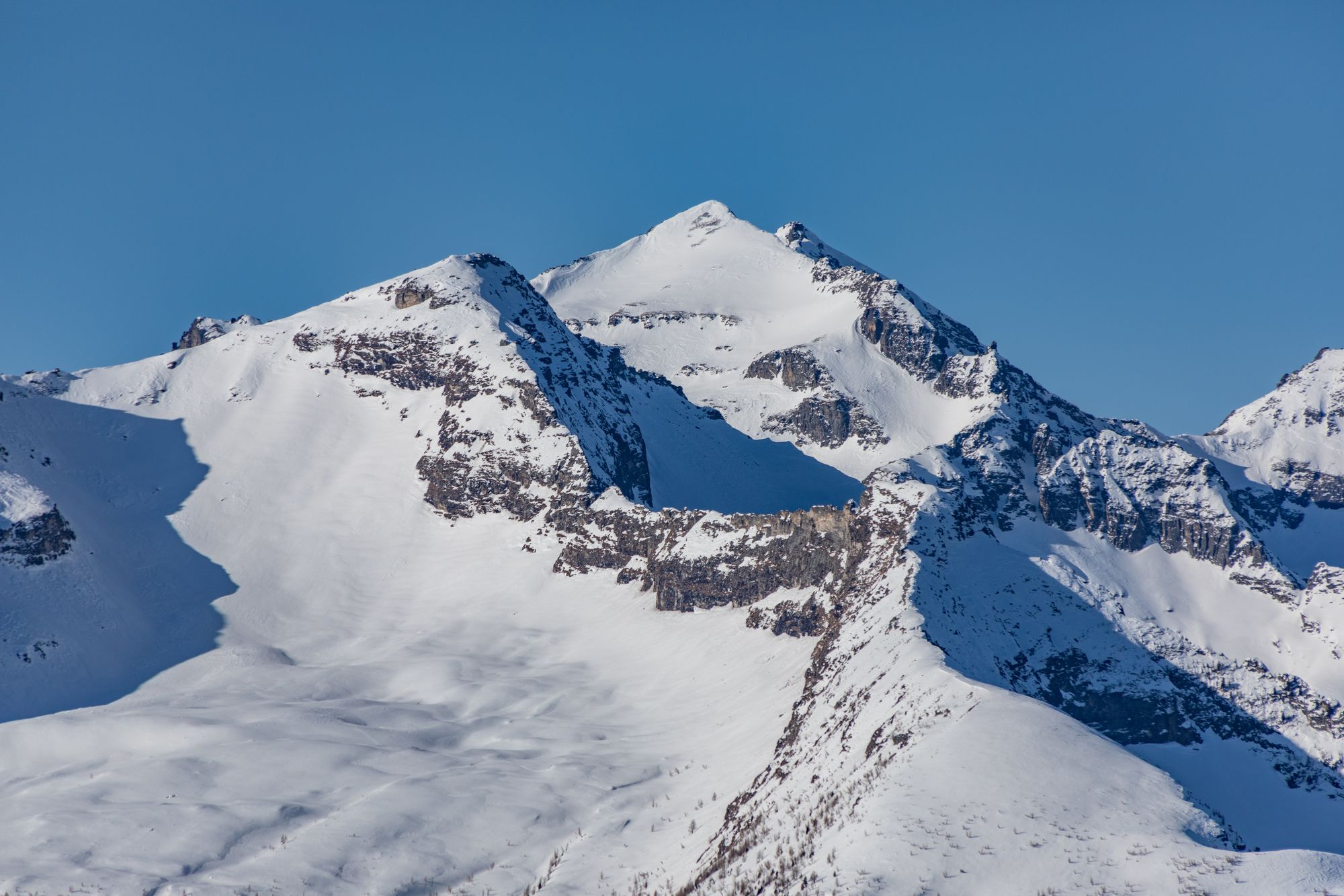
Stubeck
- Lepo/Retriitti
-
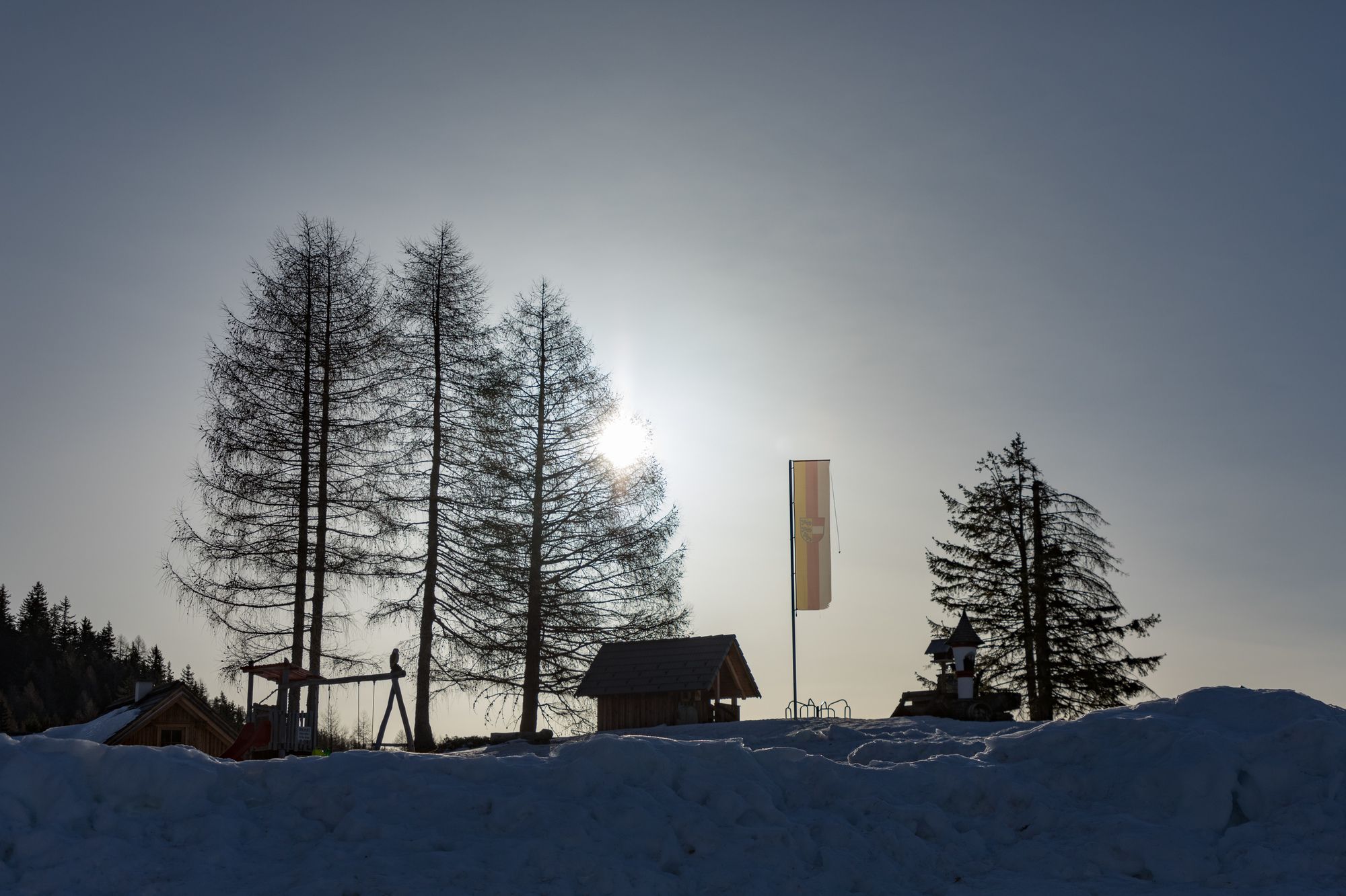
bei der Hütte


- Lähde
- Mike