© Südsteiermark - Monika Kapun
- Lyhyt kuvaus
-
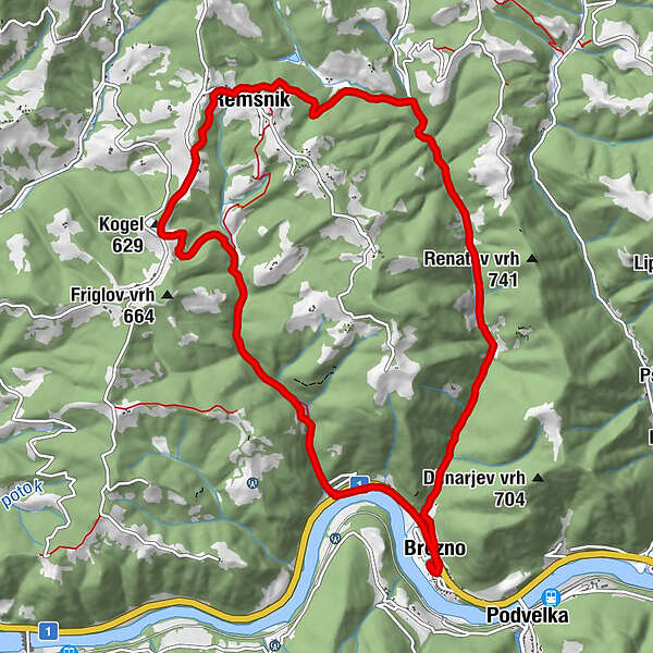
Länge:12 km
Höhenmeter:350 m
Fahrzeit:ca. 1,5 Stunden
Schwierigkeitsgrad: leicht
Kondition: ★★★☆☆
Panorama:★★★★☆
Beschaffenheit:ca. 73 % Asphalt, 24 % Schotter, 3 % Waldweg
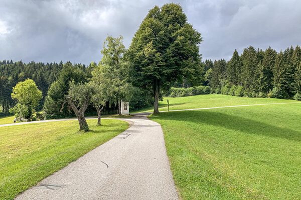
Sehenswertes:Sveček Mühle, Kirche Heiliger Jurij - Vaikeus
-
tapa
- Arviointi
-
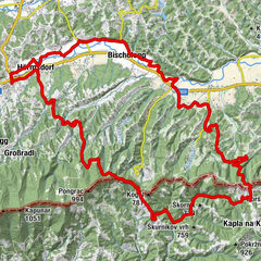
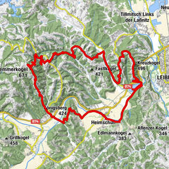
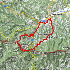
- Reitti
-
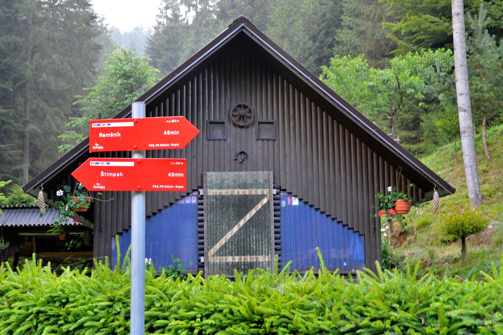
Okrepčevalnica Reš0,0 kmBrezno0,2 kmŽupnijska cerkev Marijinega Vnebovzetja0,5 kmRemšnik6,0 kmKogel (629 m)7,5 kmŽupnijska cerkev Marijinega Vnebovzetja11,7 kmBrezno12,1 kmOkrepčevalnica Reš12,1 km
- Paras kausi
-
tammihelmimaalishuhtitoukokesäheinäelosyyslokamarrasjoulu
- Korkein kohta
- 660 m
- Kohde
-
Grundschule in Brezno
- Korkeusprofiili
-
 © outdooractive.com
- Kirjoittaja
-
Kiertue Über Kozju Vrh käyttää outdooractive.com toimitettu.
GPS Downloads


Lisää retkiä alueilla
-
Südsteiermark
137
-
Maribor-Pohorje
46
-
Podvelka
46