© RRA Koroska - Tomo Jeseničnik
© RRA Koroska - Tomo Jeseničnik
© RRA Koroska - Tomo Jeseničnik
© RRA Koroska - Tomo Jeseničnik

- Lyhyt kuvaus
-
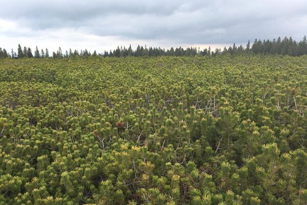
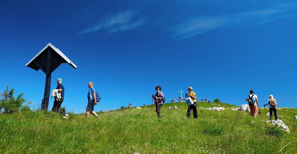
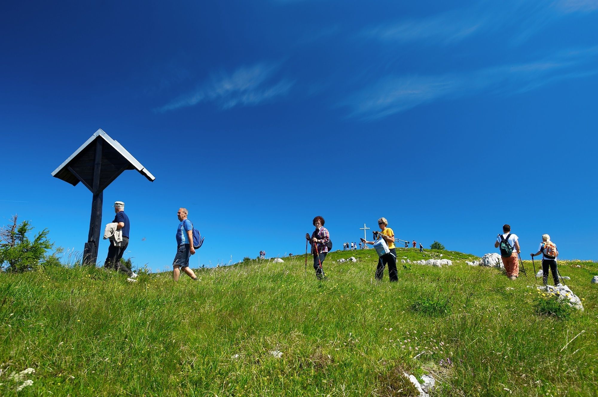
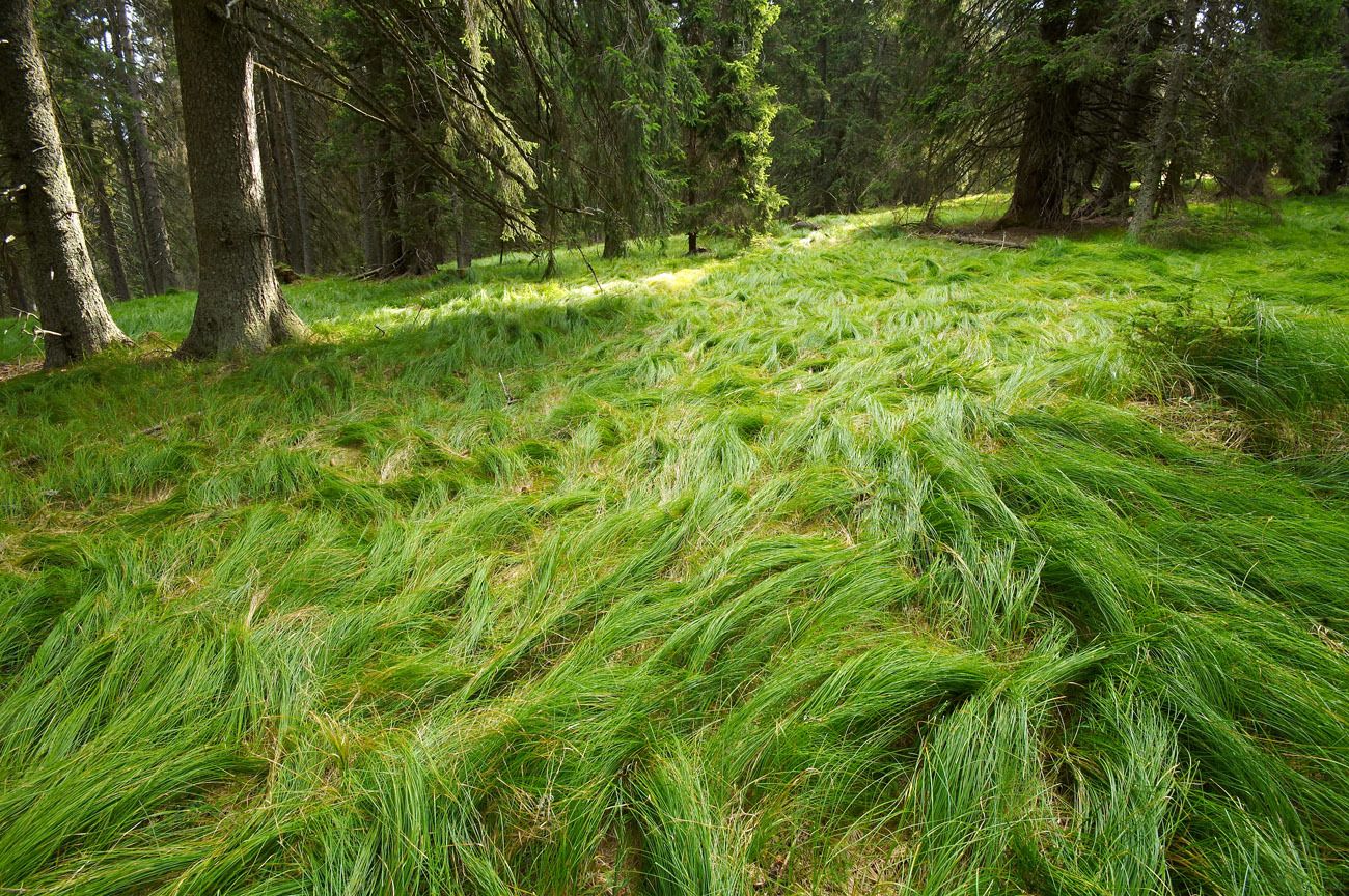
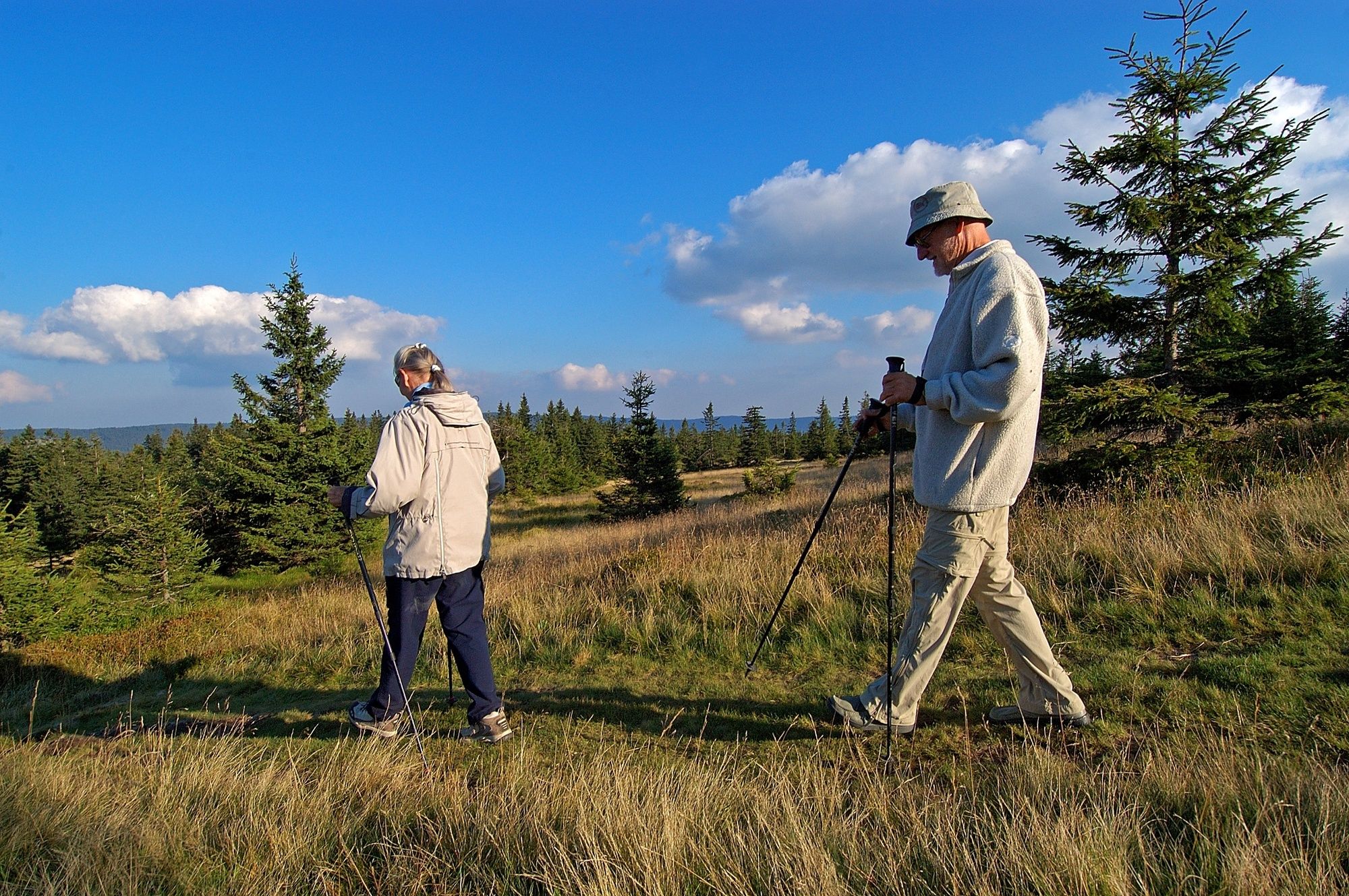
First part of the Slovenian Mountain Trail leads trough the expanses of Pohorje to the lonely mountain Plešivec in Koroška, and continues all the way to Savinja Alps.
- Reitti
-
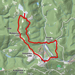
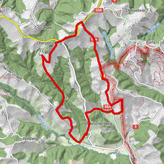
Slovenj GradecKremžarjev vrh (1.164 m)5,2 kmBrneško sedlo (1.001 m)7,4 kmSedlarjev vrh (1.205 m)8,2 kmErtarjev vrh (1.229 m)8,6 kmKaštivsko sedlo (1.191 m)8,9 kmPočitniški dom Partizanka10,0 kmMala kopa (1.524 m)10,7 kmVelika Kopa (1.541 m)12,0 kmKope13,0 kmHolcer13,1 kmPungart (1.374 m)13,2 kmOtiše (1.416 m)14,0 kmSchwarzkogel (1.543 m)15,9 kmVišavje (1.509 m)17,4 kmMali Črni vrh (1.536 m)17,9 kmRibniška koča18,2 kmJezerski vrh (1.537 m)19,0 kmKoča na Pesku (1.382 m)28,8 kmKlopni vrh (1.340 m)35,7 kmPeršetov vrh (1.245 m)45,3 kmŠport hotel Areh48,3 kmRuška koča48,5 kmReški vrh (1.142 m)52,0 kmLedinekov kogel (1.182 m)52,9 kmMariborsko Pohorje (1.042 m)55,2 kmKoča55,4 kmBellevue (1.040 m)55,4 kmMaribor60,7 kmSpodnje Radvanje61,1 km
- Korkein kohta
- 1.540 m
- Korkeusprofiili
-
 © outdooractive.com

- Kirjoittaja
-
Kiertue Over Pohorje (Slovenian Mountain Trail) käyttää outdooractive.com toimitettu.
GPS Downloads


Lisää retkiä alueilla
-
Südsteiermark
1132
-
Savinjska
37
-
Lovrenc na pohorju
35