Retkitiedot
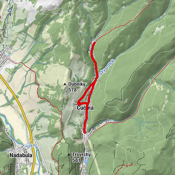
5,93km
361
- 449m
95hm
95hm
01:35h
- Lyhyt kuvaus
-
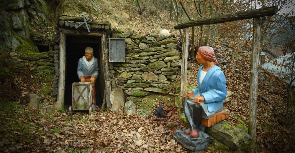
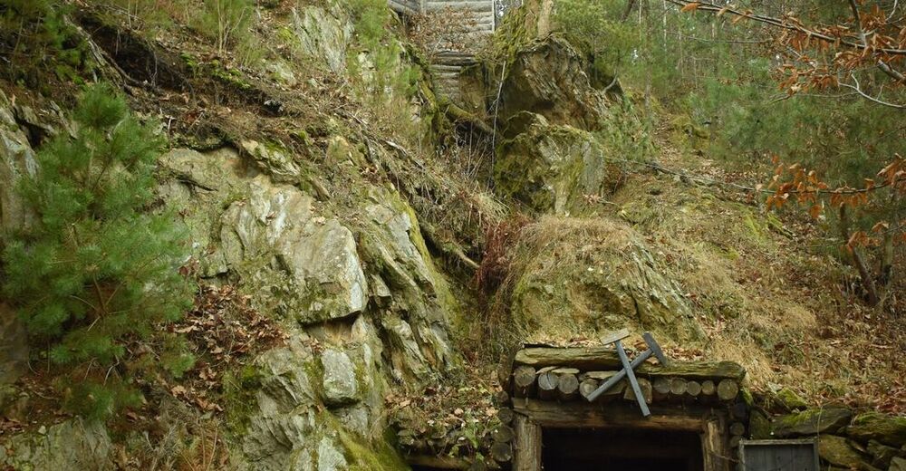
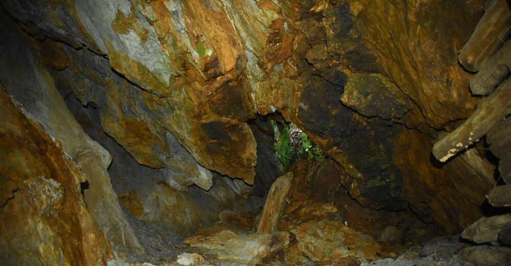
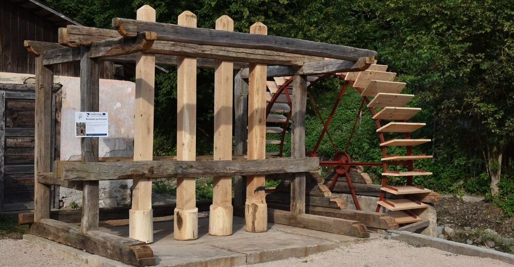
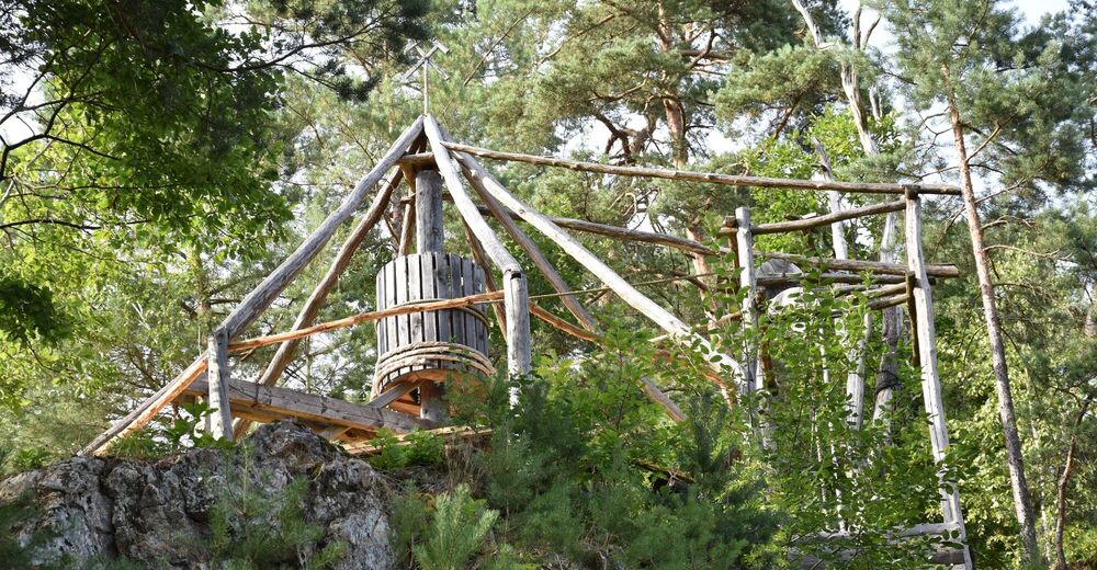
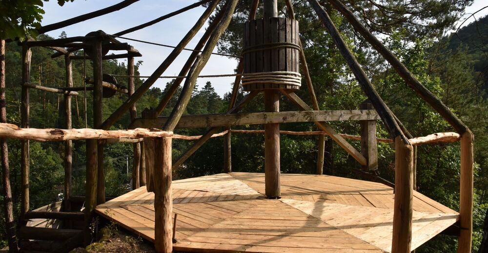
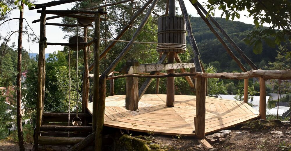
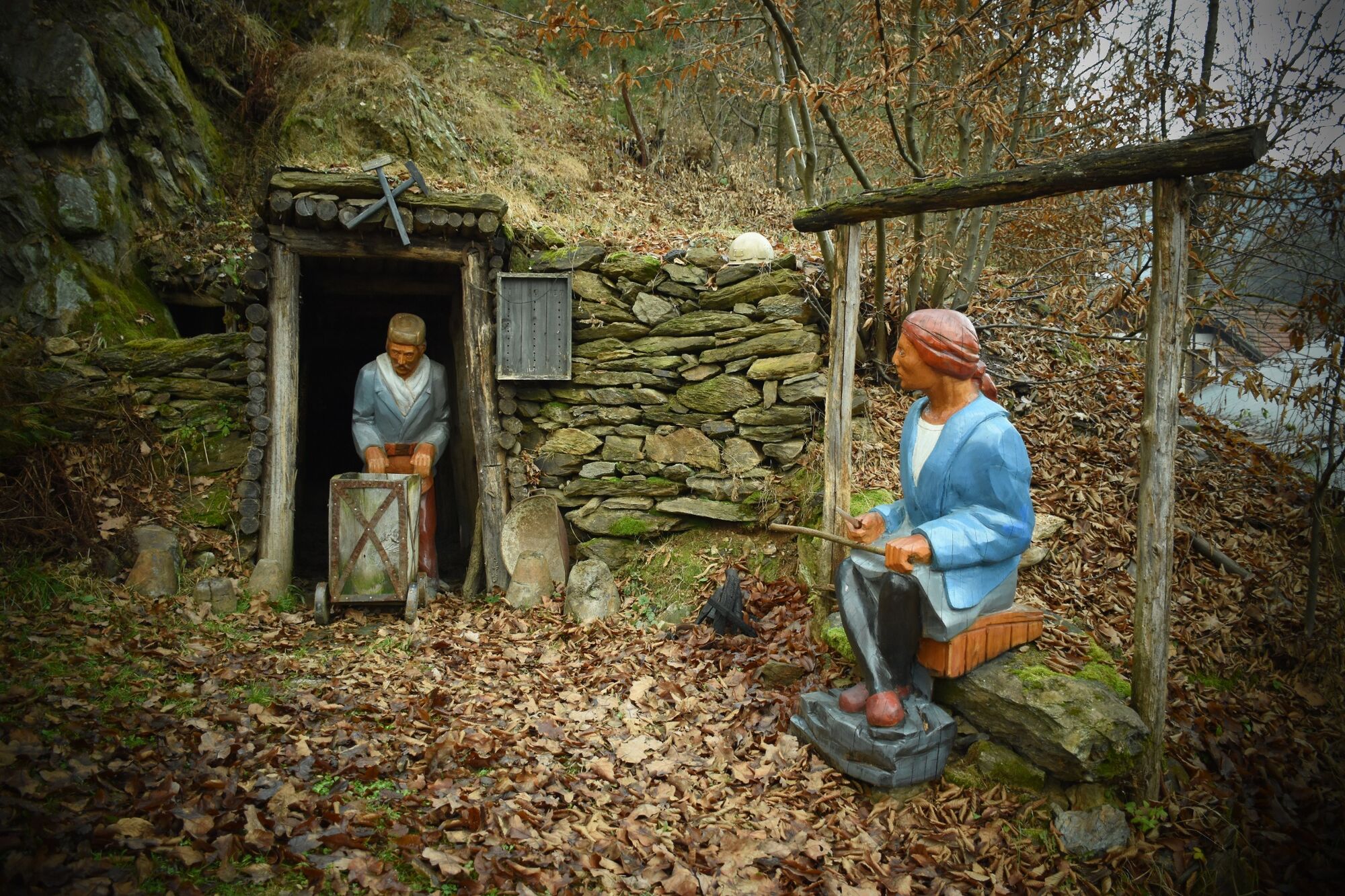
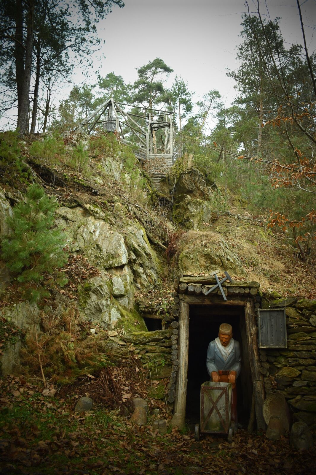
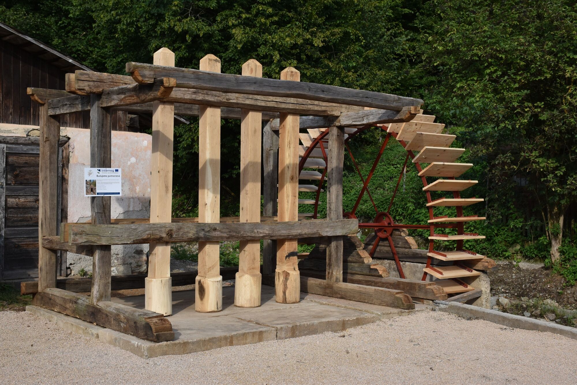
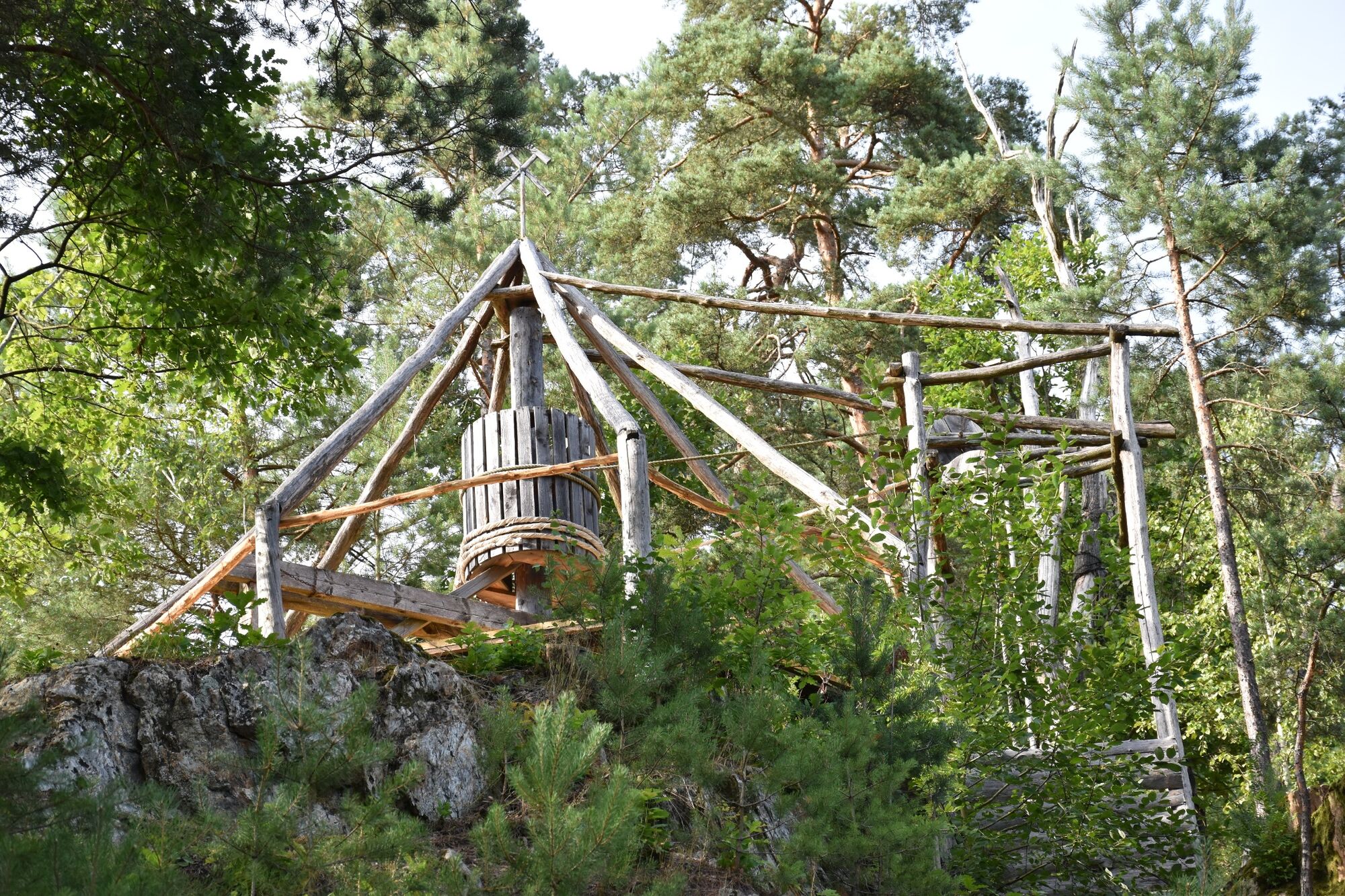
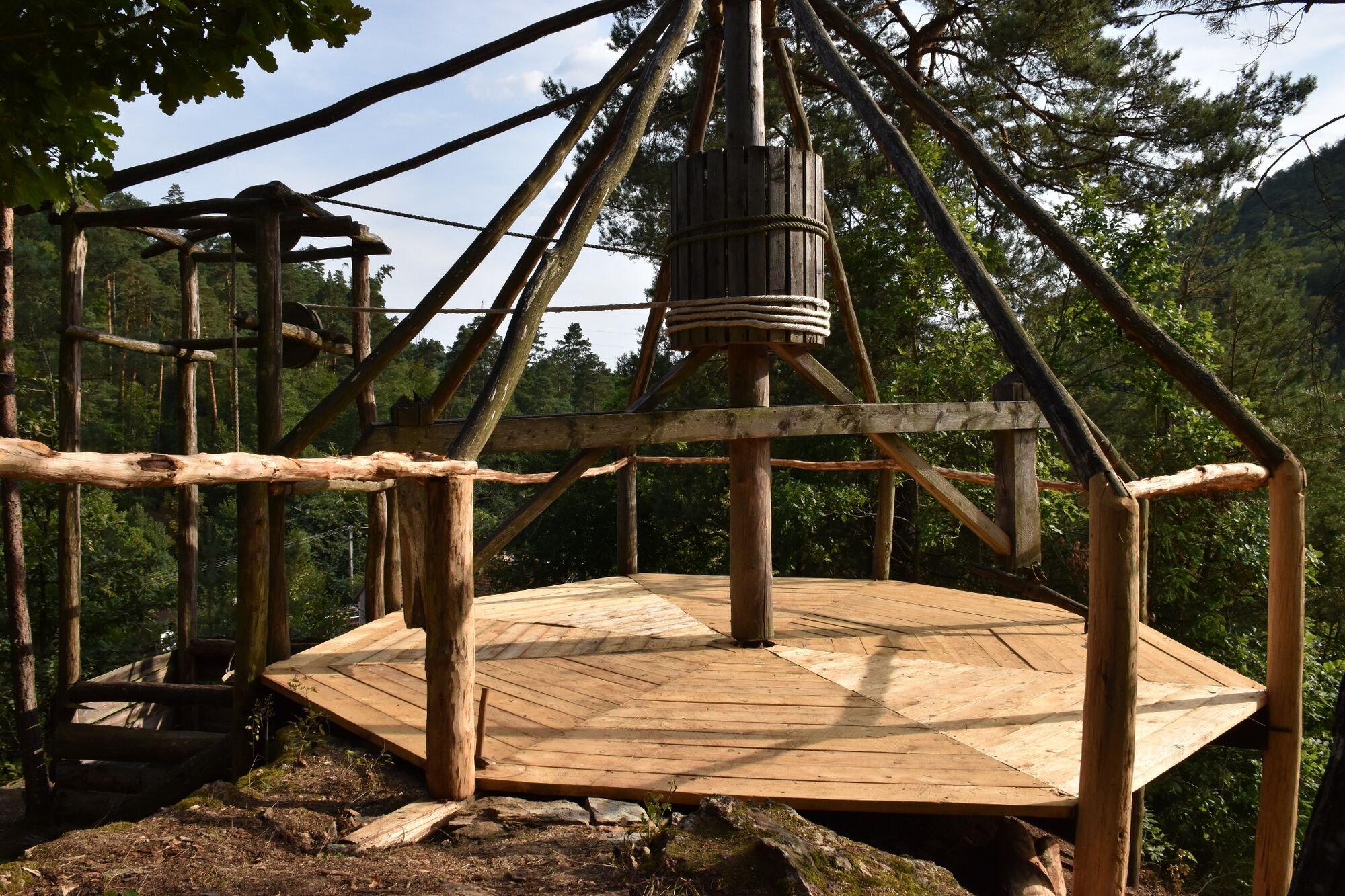
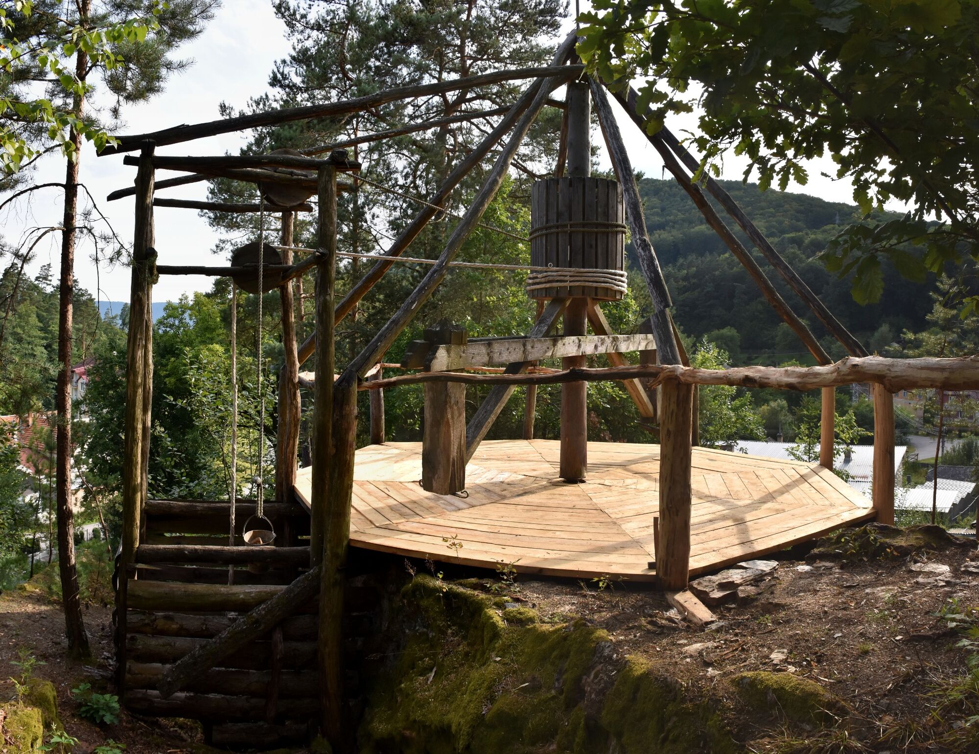
On the nature trail you will find a mining cart, a mill wheel, hand mined tunnels called “kresanice” and a mining horse engine, still functional, which used to be driven by draft horses in the past.
- Reitti
-
Čučma (647 m)0,6 kmČučma (647 m)5,2 km
- Paras kausi
-
tammihelmimaalishuhtitoukokesäheinäelosyyslokamarrasjoulu
- Korkein kohta
- 449 m
- Kohde
-
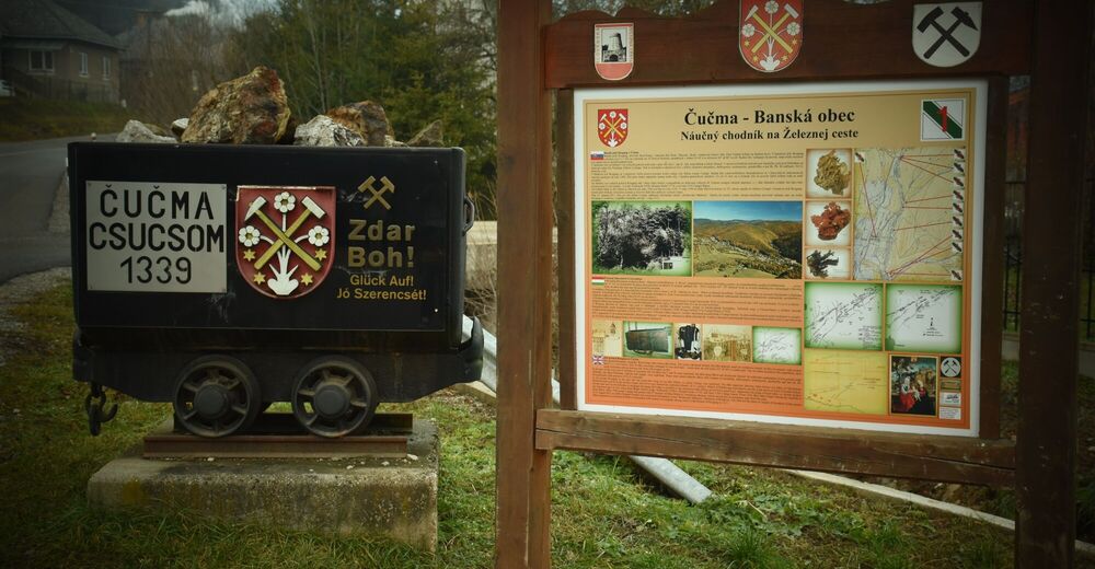
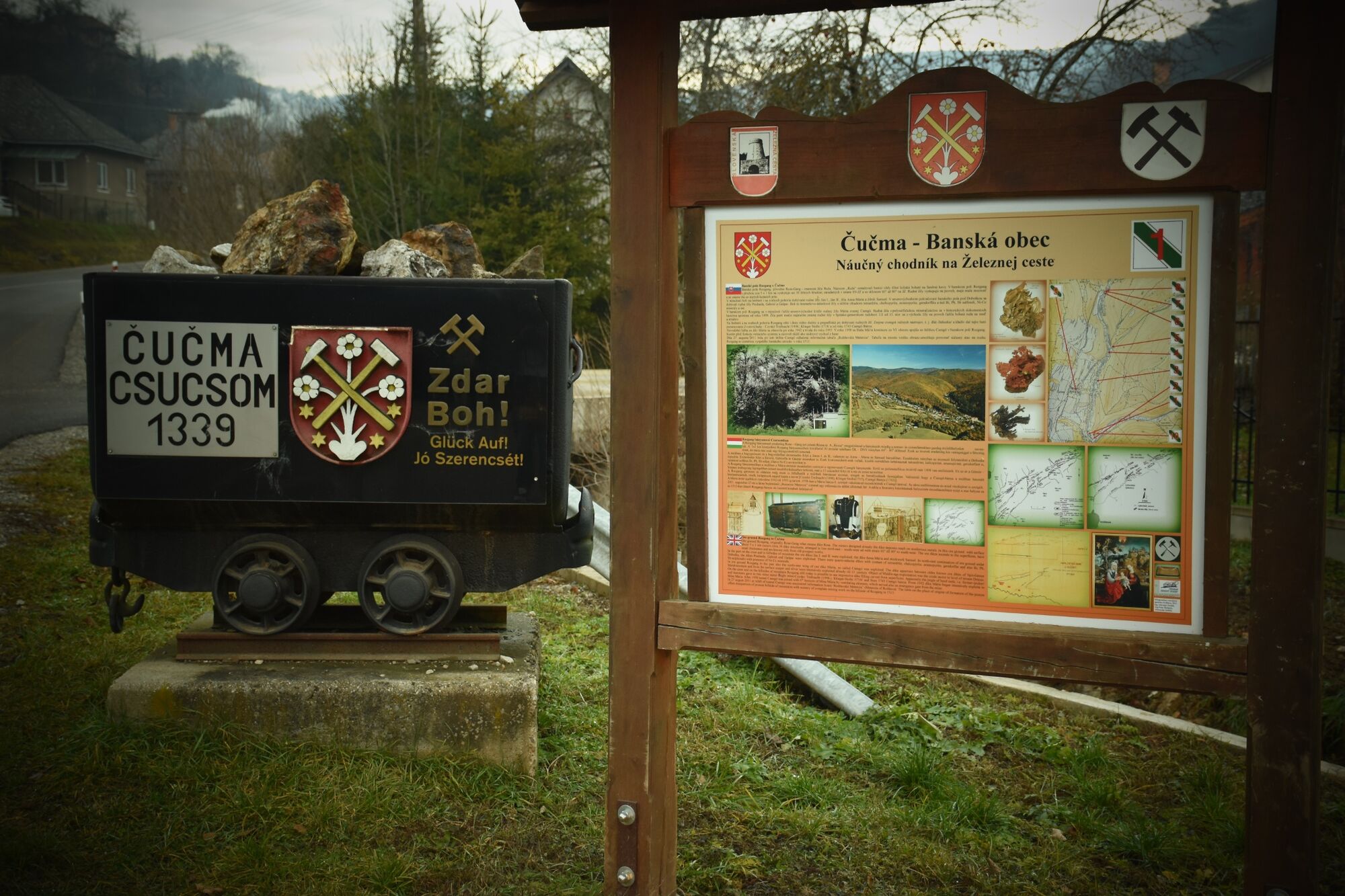
Čučma Rozgang
- Korkeusprofiili
-
 © outdooractive.com

- Kirjoittaja
-
Kiertue The Nature Trail on the Iron Route in Čučma käyttää outdooractive.com toimitettu.