© Terra Dinarica - Alan Čaplar
© Terra Dinarica - Alan Čaplar
© Terra Dinarica - Alan Čaplar
© Terra Dinarica - Milivoj Filipović
© Terra Dinarica - Milivoj Filipović
© Terra Dinarica - Alan Čaplar
© Terra Dinarica - Alan Čaplar

- Lyhyt kuvaus
-
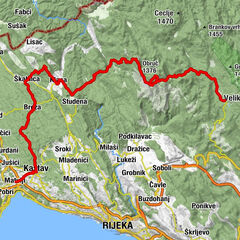
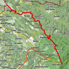
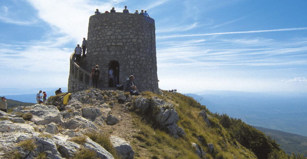
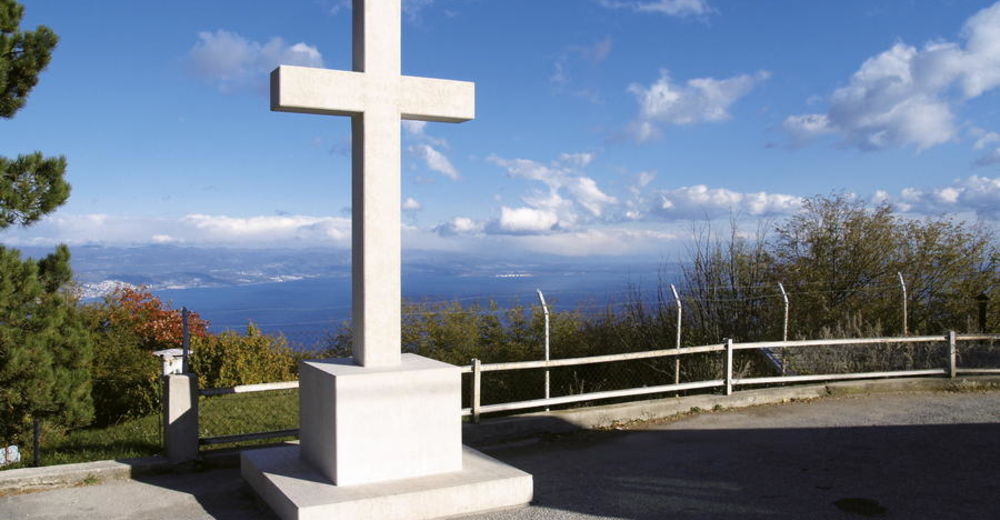
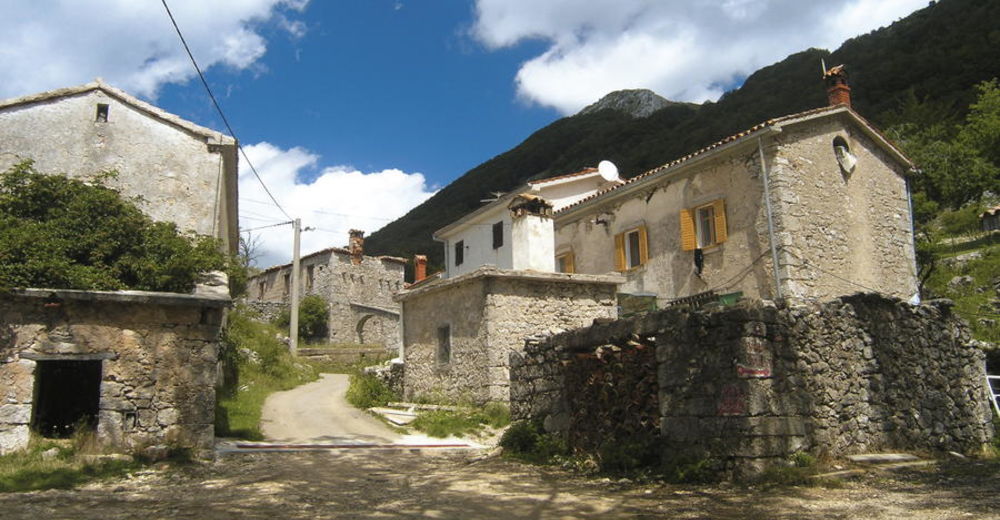
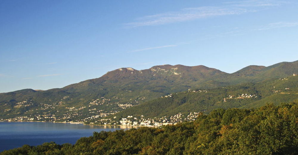
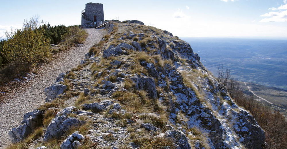
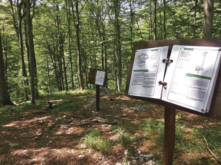
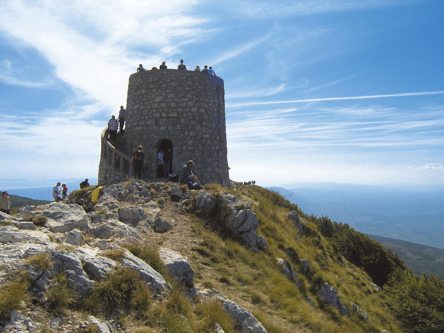
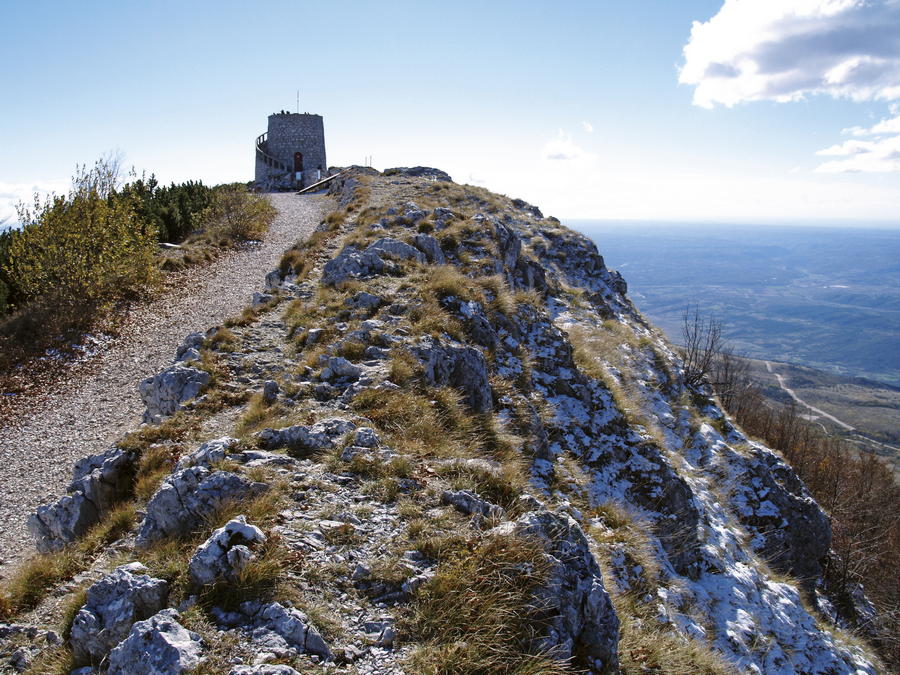
Učka is a mountain with a simple shape, with two steep sides and sharp ridge. The ridge is highest at the beginning (Vojak, 1396 m.a.s.l.). From there, the ridge gradually descends southwards, with peaks of Brgud (906 m.a.s.l.), Šikovac (780 m.a.s.l.) and Sisol (883 m.a.s.l.), before suddenly disappearing into the sea at the bay of Plomin. The western side of Učka is more steep, sharply descending to Vranjska Draga, Boljunsko polje and Čepićko polje. Učka is a typical karst mountain, with a multitude of pits, caves and sinkholes, but also rich in springs and lush forests. It was primarily due to the abundance and diversity of the plant world, that Učka was declared a nature park in 1999.
- Vaikeus
-
tapa
- Arviointi
-
- Reitti
-
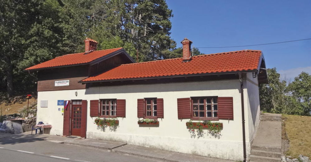
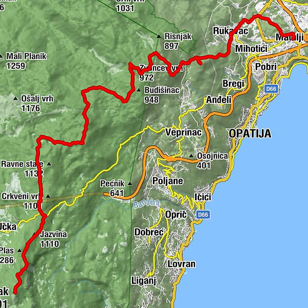
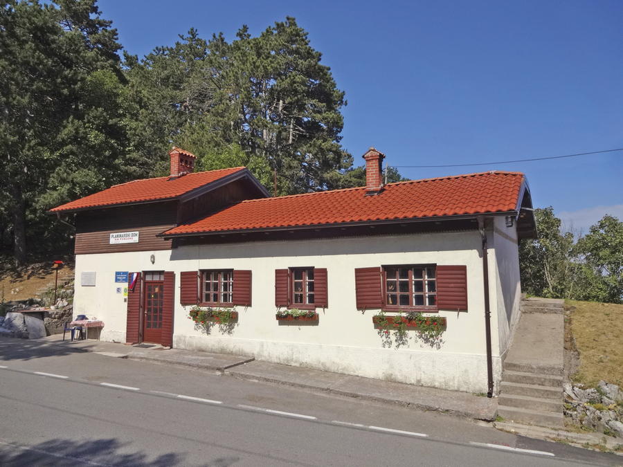
Monte Maggiore (1.401 m)0,1 kmJazvina (1.110 m)2,6 kmRadiša3,0 kmPoklon3,4 kmPlaninarski dom Poklon3,5 kmPoklon (932 m)3,7 kmVidikovac9,2 kmBrložnik (1.093 m)9,2 kmZvoncev vrh (972 m)14,0 kmMajkovac (853 m)16,1 kmMajkovac16,3 kmVedež17,7 kmOrjak (712 m)18,3 kmMamići19,9 kmDražice20,4 kmRuccavazzo20,7 kmSušnji21,2 kmMohorići21,5 kmRošići21,7 kmStacion23,3 kmMattuglie23,8 km
- Paras kausi
-
tammihelmimaalishuhtitoukokesäheinäelosyyslokamarrasjoulu
- Korkein kohta
- 1.374 m
- Kohde
-
naselje Matulji
- Korkeusprofiili
-
 © outdooractive.com

-

-
KirjoittajaKiertue Via Dinarica HR-B-03 Učka Nature Park käyttää outdooractive.com toimitettu.
GPS Downloads


Lisää retkiä alueilla
-
Opatija
11