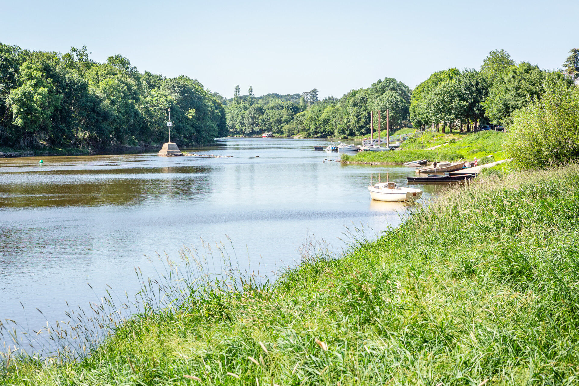
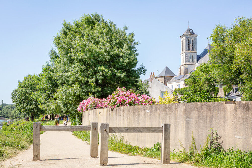
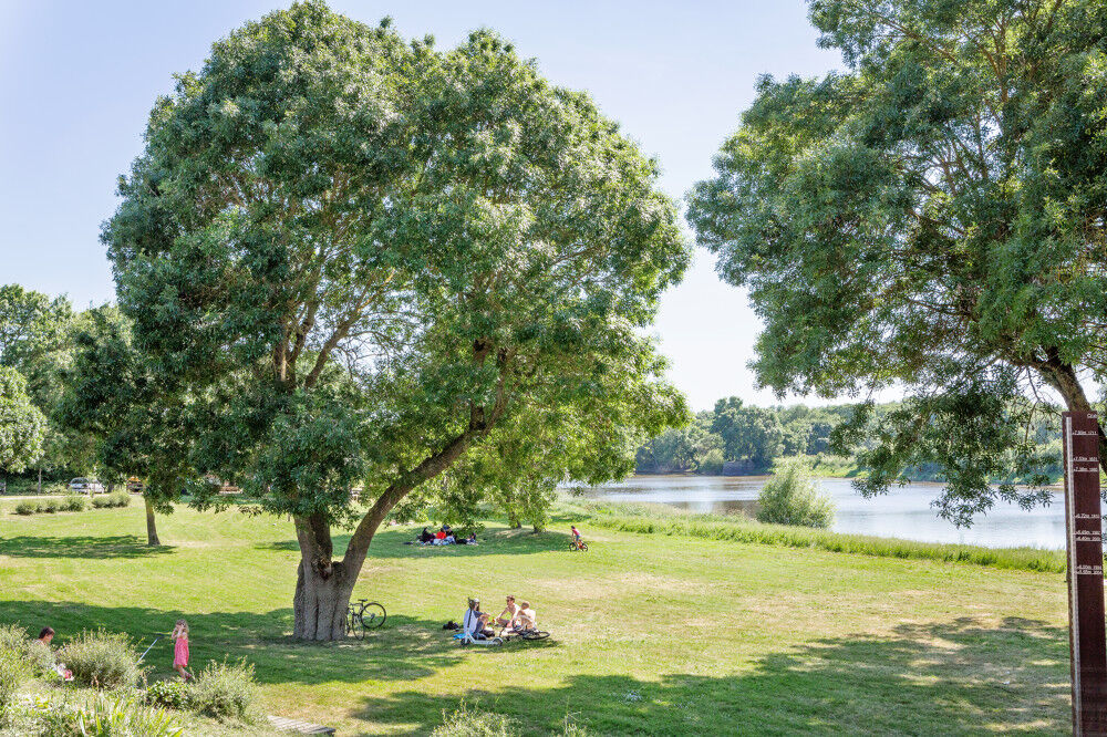
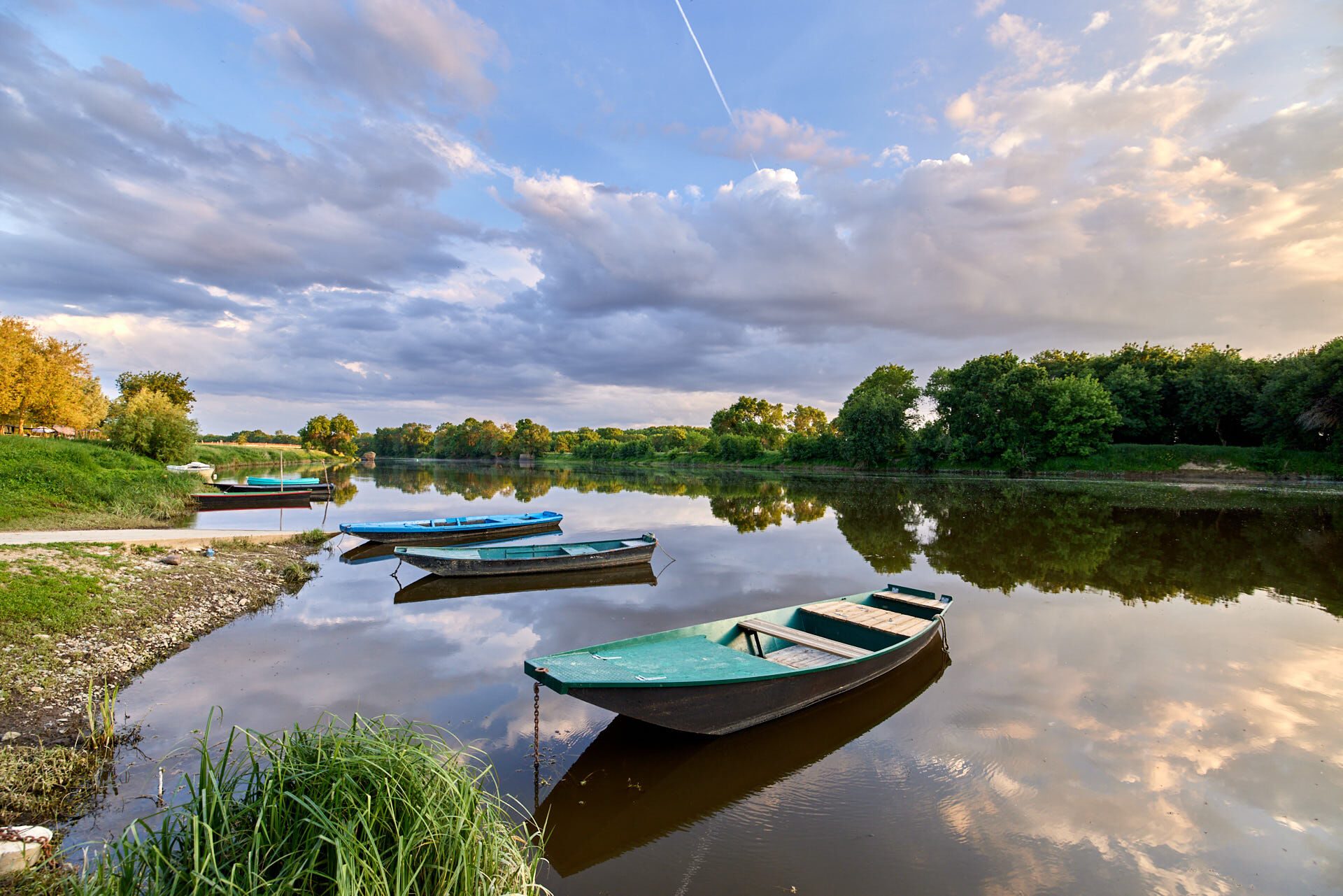
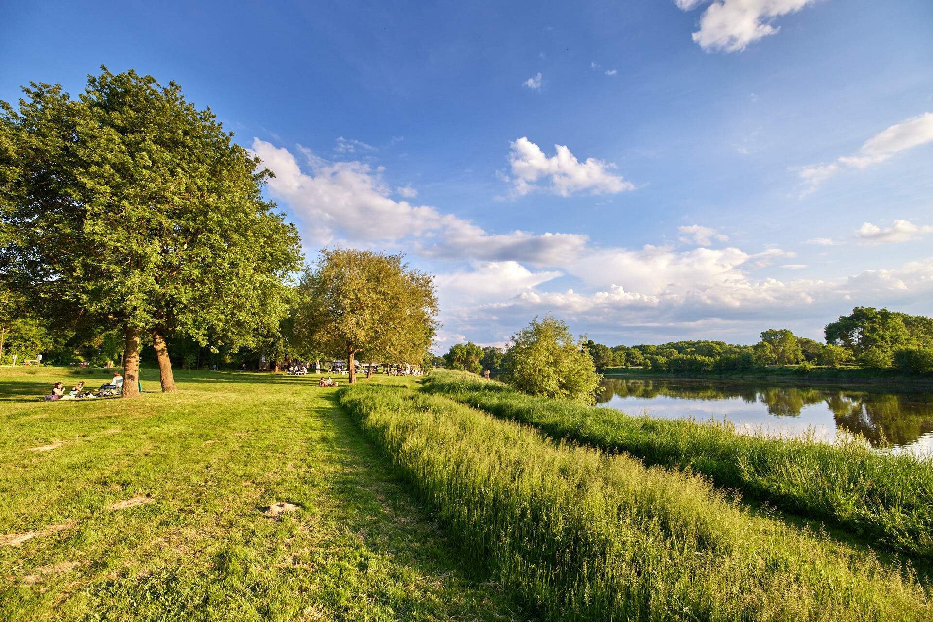
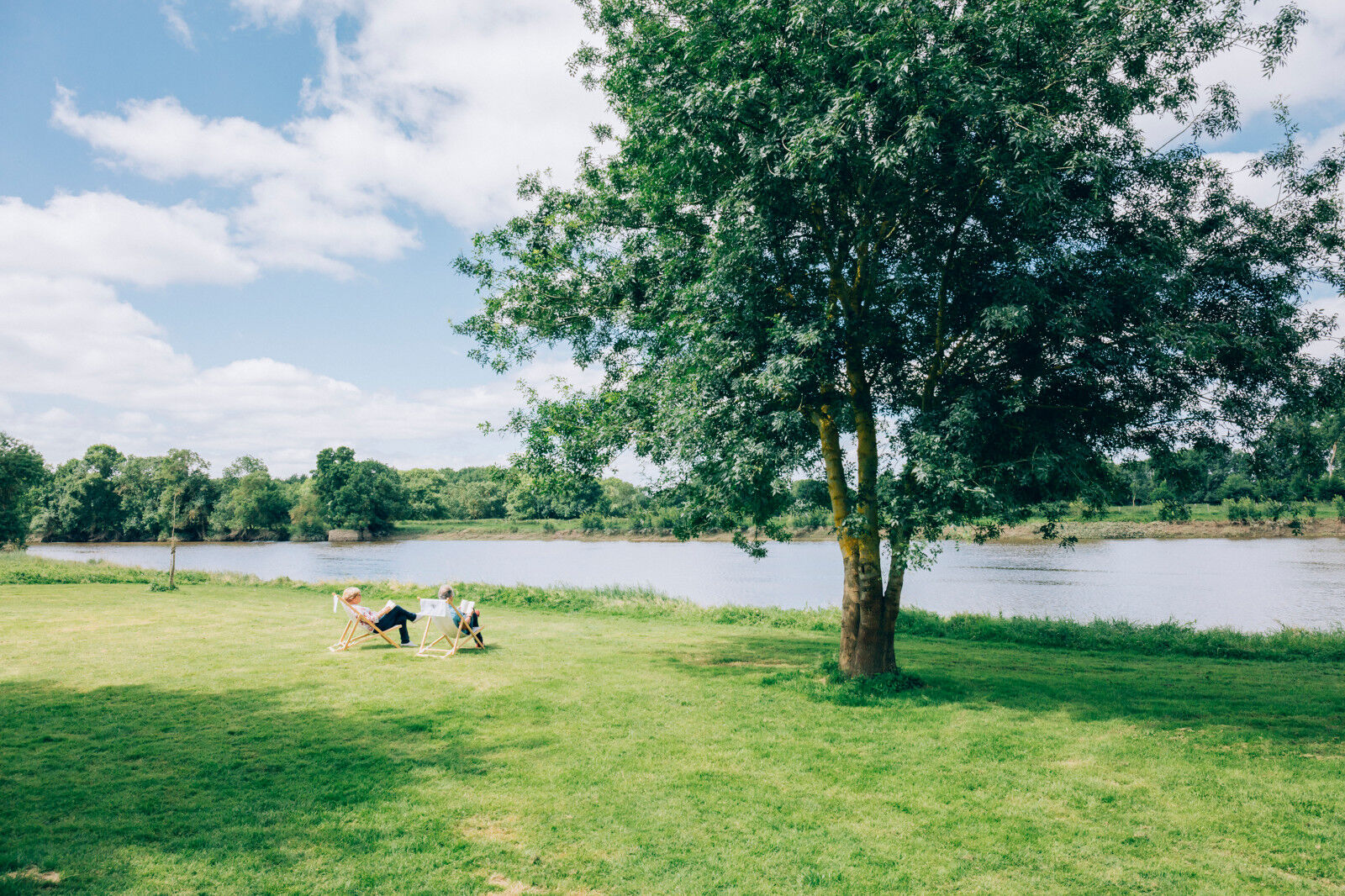
The Mayenne river and meadows in the low valleys of Angers


© D. Mouraud / Destination Angers

© D. Mouraud / Destination Angers

© D. Mouraud / Destination Angers

© A. Lamoureux

© A. Lamoureux

© Romain Bassenne

- Lyhyt kuvaus
-
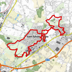
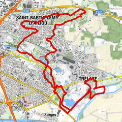
This trail allows you to discover two communes located on the banks of the Mayenne and in the heart of the Basses Vallées angevines.
- Vaikeus
-
helppo
- Arviointi
-
- Reitti
-
Juigné0,1 kmBéné0,6 kmCantenay-Épinard12,1 kmLe Bas des Vaux14,4 kmBel Air14,6 kmMontreuil-Juigné15,4 kmÉglise Saint-Étienne15,5 kmLa Rongère15,8 kmGrée du Ruau16,8 kmTopette17,2 kmJuigné17,4 km
- Paras kausi
-
tammihelmimaalishuhtitoukokesäheinäelosyyslokamarrasjoulu
- Korkein kohta
- 59 m
- Kohde
-
Montreuil-Belfroy
- Korkeusprofiili
-
 © outdooractive.com
-

-
KirjoittajaKiertue The Mayenne river and meadows in the low valleys of Angers käyttää outdooractive.com toimitettu.
GPS Downloads


Yleistä tietoa
Virvokepysäkki
Parantava ilmasto
Kulttuuri/Historiallinen
Flora
Lupaava