© Destination Angers

© Destination Angers

© Destination Angers
- Lyhyt kuvaus
-
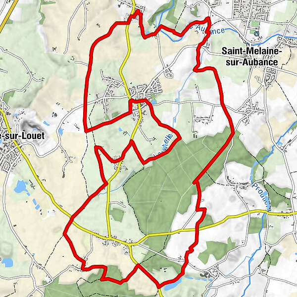
Located 15 km away from Angers, Soulaines-sur-Aubance is a village squeezed in the Aubance valley, sheltered from this 40 km long river crossing 13 towns and flowing into the Loire river.
- Vaikeus
-
tapa
- Arviointi
-
- Reitti
-
Soulaines-sur-Aubance0,0 kmLa Chapelle13,9 kmRiollet14,1 kmDouet15,5 kmBellevue15,8 kmLa Grollière17,0 kmSoulaines-sur-Aubance19,8 km
- Paras kausi
-
tammihelmimaalishuhtitoukokesäheinäelosyyslokamarrasjoulu
- Korkein kohta
- 93 m
- Kohde
-
Soulaines-sur-Aubance
- Korkeusprofiili
-
 © outdooractive.com


-

-
KirjoittajaKiertue From the castle of the Aubance valley to Noizé forest käyttää outdooractive.com toimitettu.
GPS Downloads


Yleistä tietoa
Parantava ilmasto
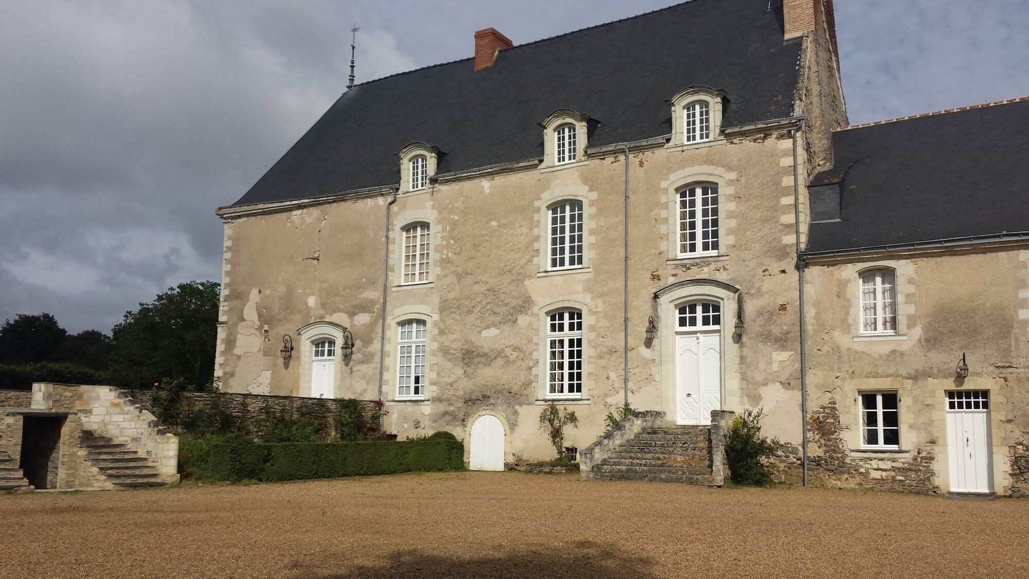
Kulttuuri/Historiallinen
Flora
Lupaava