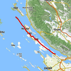
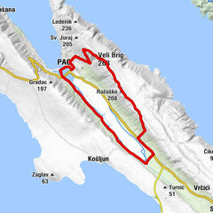
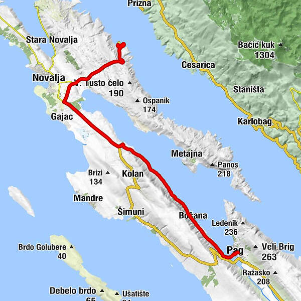
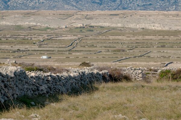
02. Tag: Balkan-Start / 2. Etappe ab Fähre

Logo 02. Tag: Balkan-Start / 2. Etappe ab Fähre
Retkitiedot
26,14km
- 158m
Distanz
332hm
319hm
Nousu
02:00h
 
Kesto
Reitti
Höhle
1,1 km
Grdanovo
17,6 km
Sveti Marko
17,9 km
Sveta Marija
19,2 km
Nemčić
20,4 km
Dubrava
20,5 km
Bosciana
20,9 km
Vodice
23,8 km
Kapelica Sv. Ante
25,5 km
Pago
25,8 km
Crkva Sv. Jurja
26,0 km
Korkein kohta
158 m
Korkeusprofiili
© outdooractive.com

Kirjoittaja

Yleinen luokitus

5

0

%

4

0

%

3

0

%

2

0

%

1

0

%

Virhe
On tapahtunut virhe. Yritä uudelleen.
Kiitos arvostelusta

Luokitus poistettiin

GPS Downloads
  • GPX GPS Exchange Format (XML)
  • KML Google Earth, Google Maps
QR-latauskoodit matkapuhelimiin
Lisää retkiä alueilla

Suosittuja retkiä alueella

Povljana

helppo
20,02km | 122hm | 01:26h

Via Dinarica HR-B-08 Island of Pag

tapa
72,83km | 794hm | 07:00h

Pag

helppo
17,98km | 258hm | 01:30h