- Lyhyt kuvaus
-
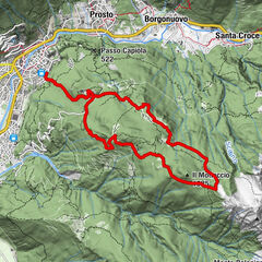
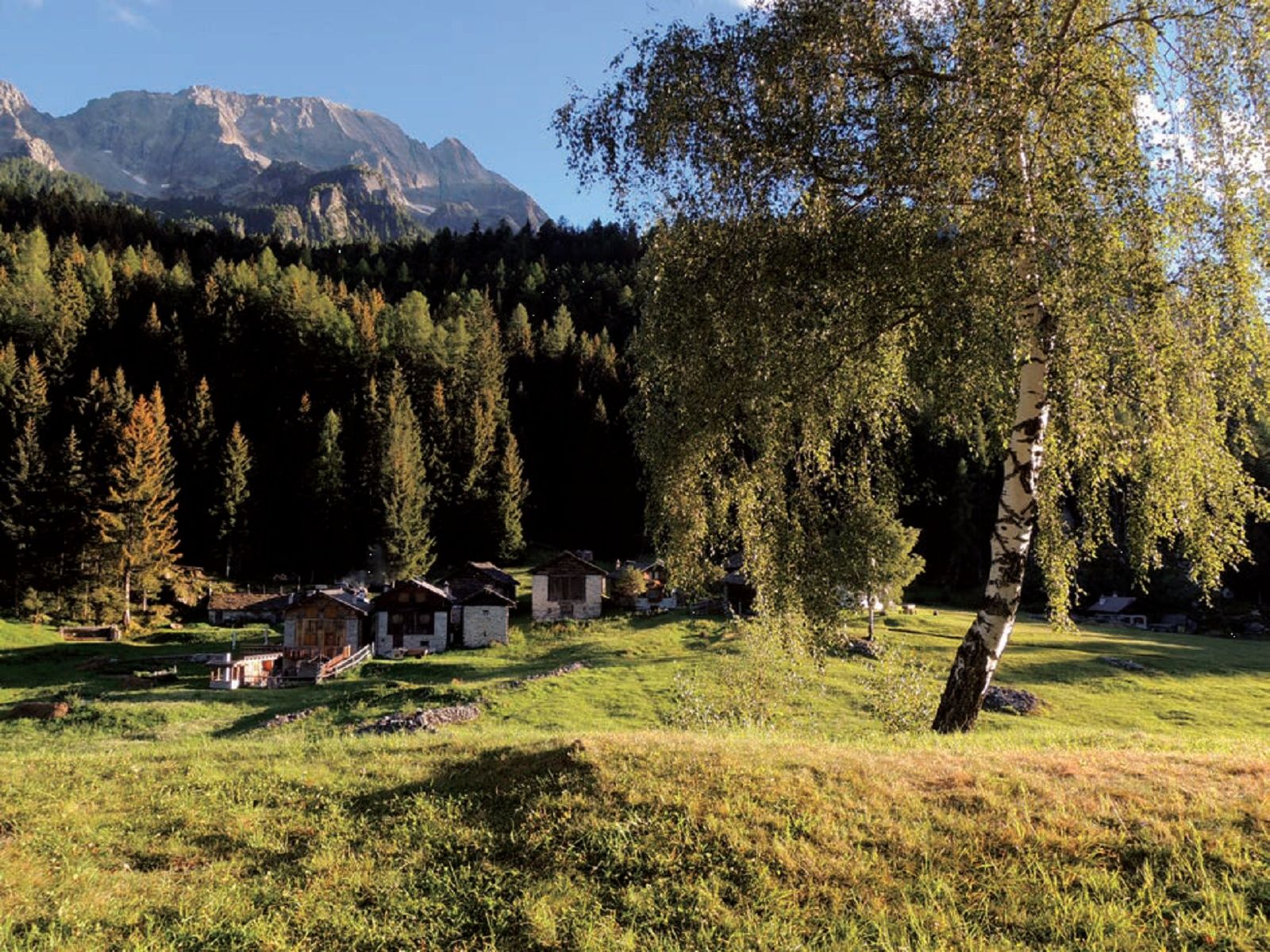
Monti di Villa" is the name of a series of meadow terraces on the north-facing flank of the Bergell valley, opposite the settlement of Villa di Chiavenna.
- Vaikeus
-
tapa
- Arviointi
-
- Reitti
-
Canete (726 m)0,0 kmChiesa della Madonna Addolorata0,0 kmCanete Superiore0,1 kmMonte Cantone (1.300 m)2,4 kmMonte Genova2,8 kmGualdo (1.320 m)5,1 kmMonte Laghetti (1.243 m)6,9 kmTabiadascio7,3 kmScalotta9,0 kmChiesa della Madonna Addolorata9,9 kmCanete Superiore9,9 kmCanete (726 m)9,9 km
- Paras kausi
-
tammihelmimaalishuhtitoukokesäheinäelosyyslokamarrasjoulu
- Korkein kohta
- 1.399 m
- Kohde
-
Canete
- Korkeusprofiili
-
 © outdooractive.com
- Kirjoittaja
-
Kiertue I Monti di Villa käyttää outdooractive.com toimitettu.
GPS Downloads


Lisää retkiä alueilla
-
Comer See
766
-
Val Bregaglia Engadin
468
-
Villa di Chiavenna
49