© Visit Luxembourg - Pancake! Photographie


- Lyhyt kuvaus
-
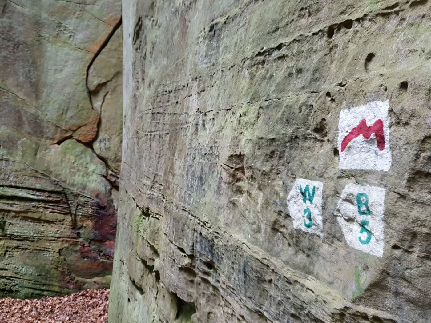
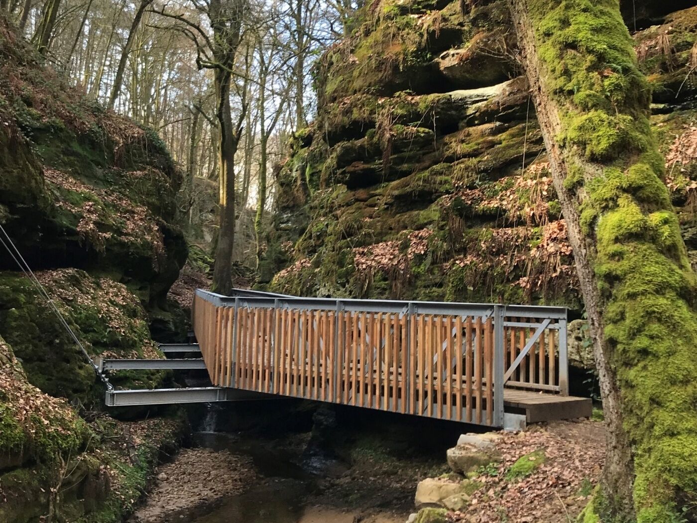
Attention! Due to construction work, the hiking trail between the Heringer Millen and the Schiessentümpel has temporarily changed course. The Schiessentümpel can only be reached via a detour. Please follow the signposting on site or the course of the GPX, which can be downloaded here.
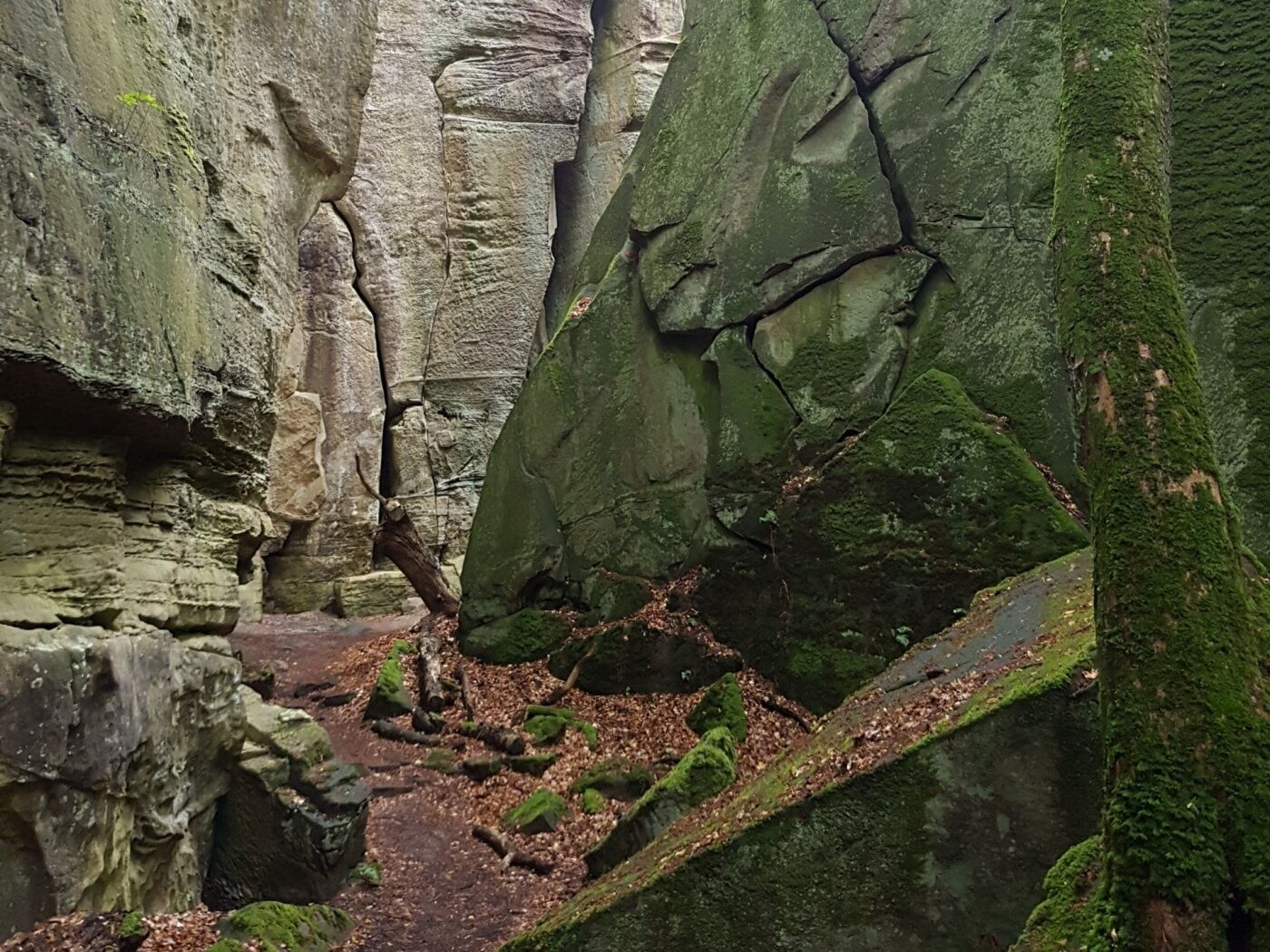
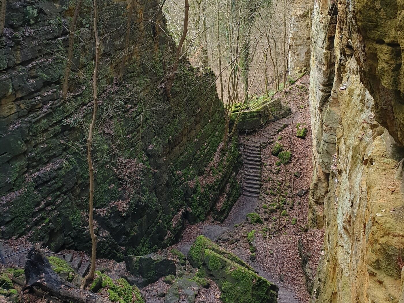
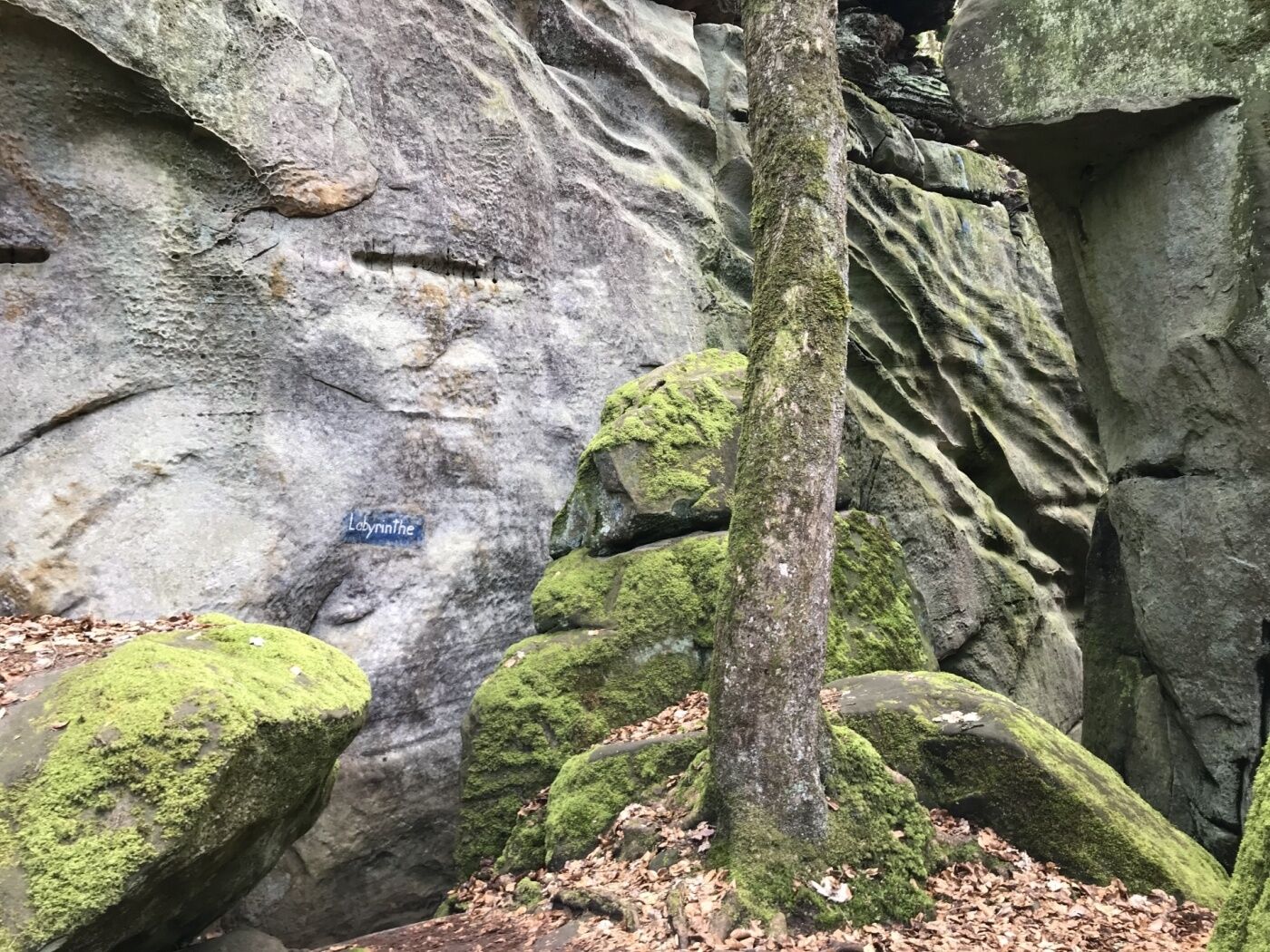
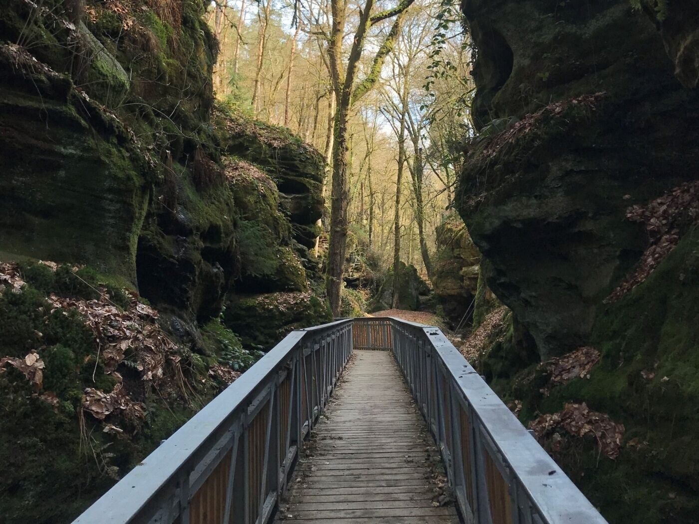
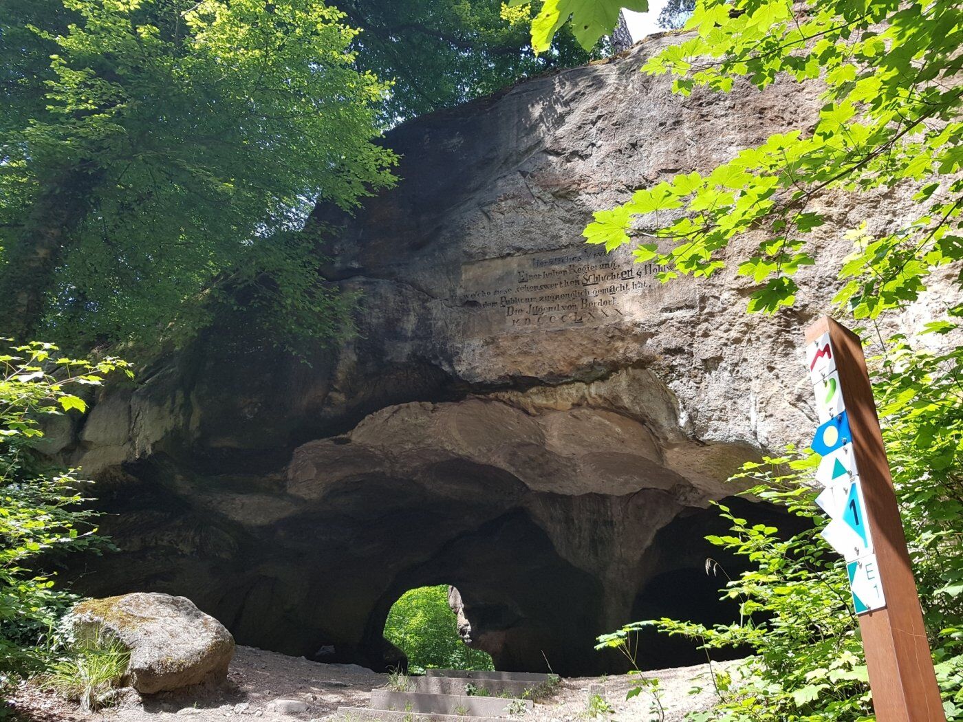
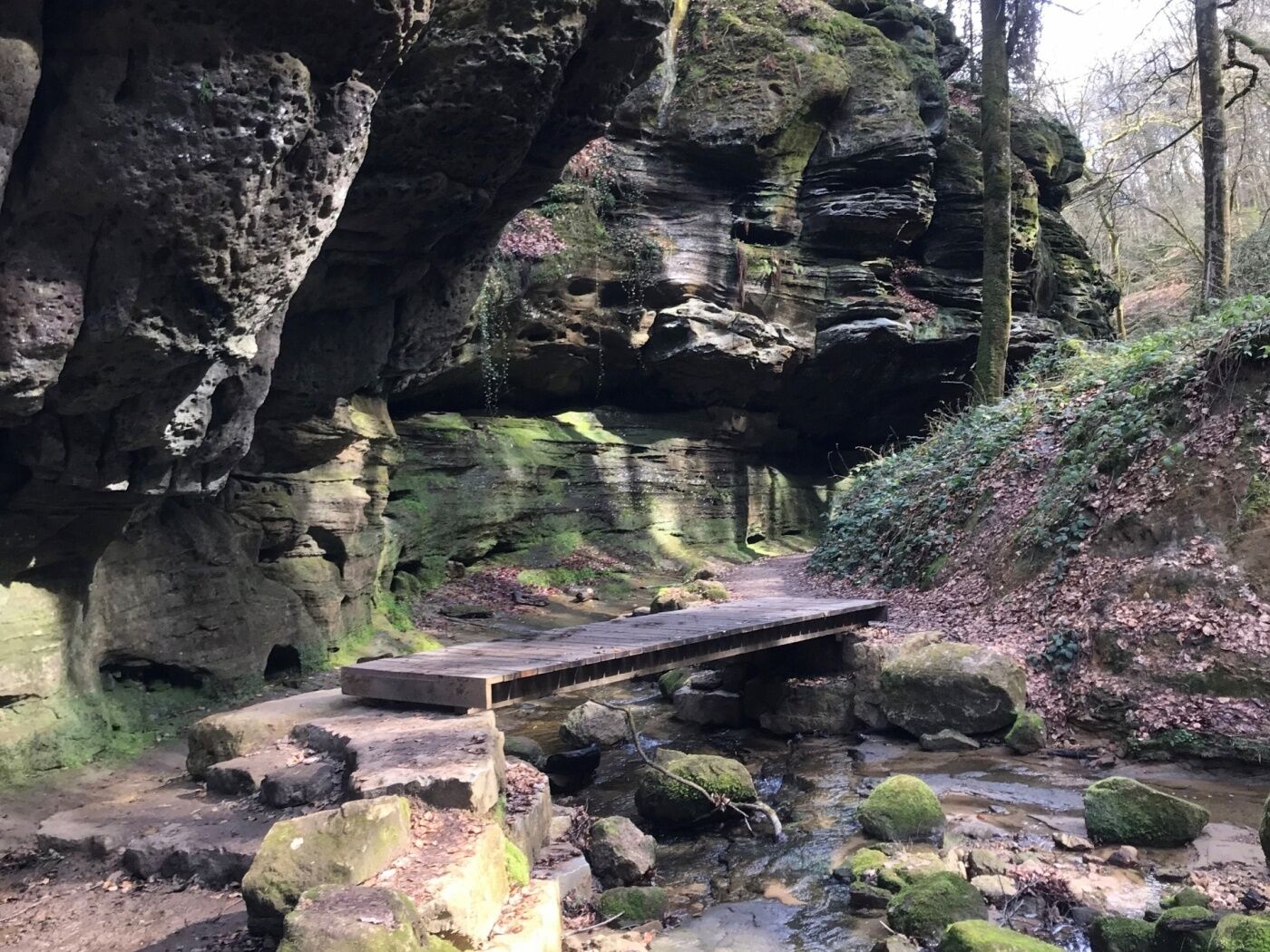
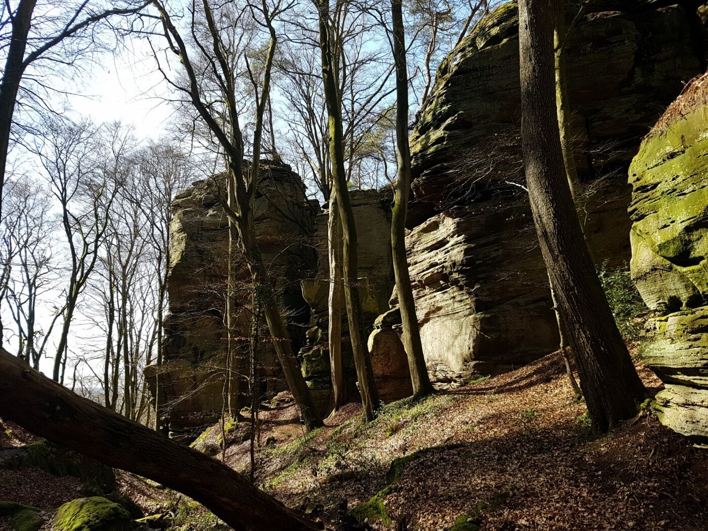
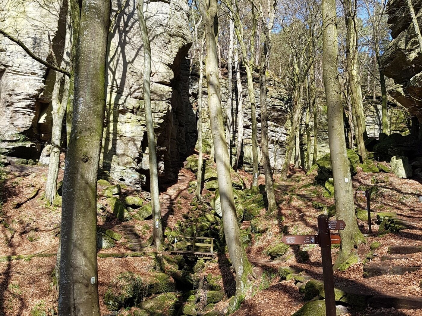
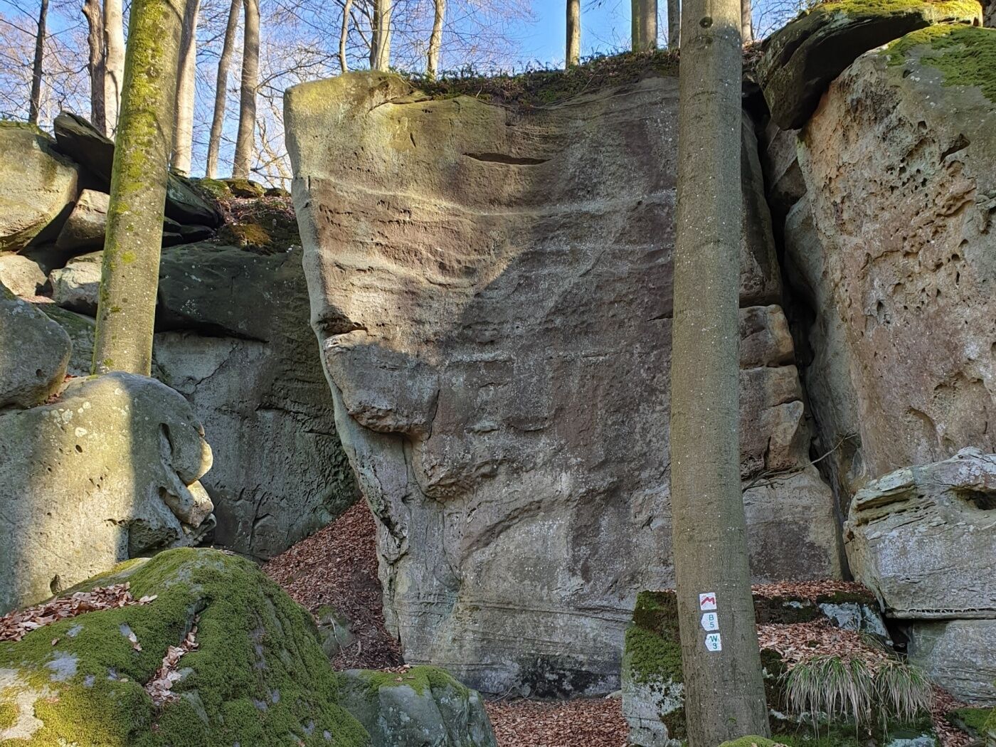
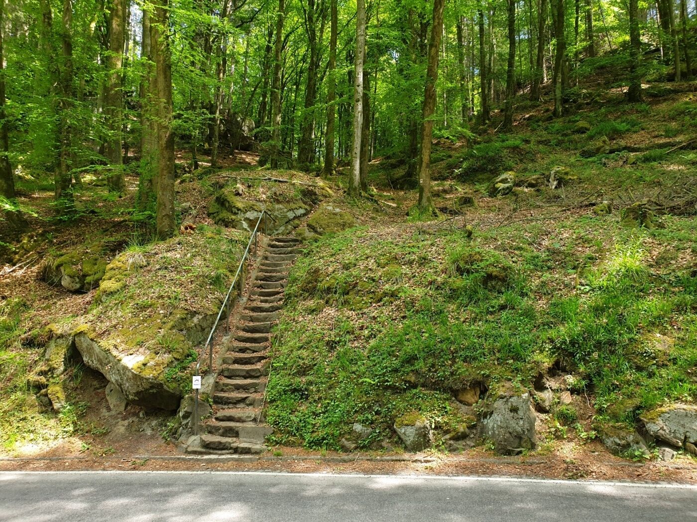
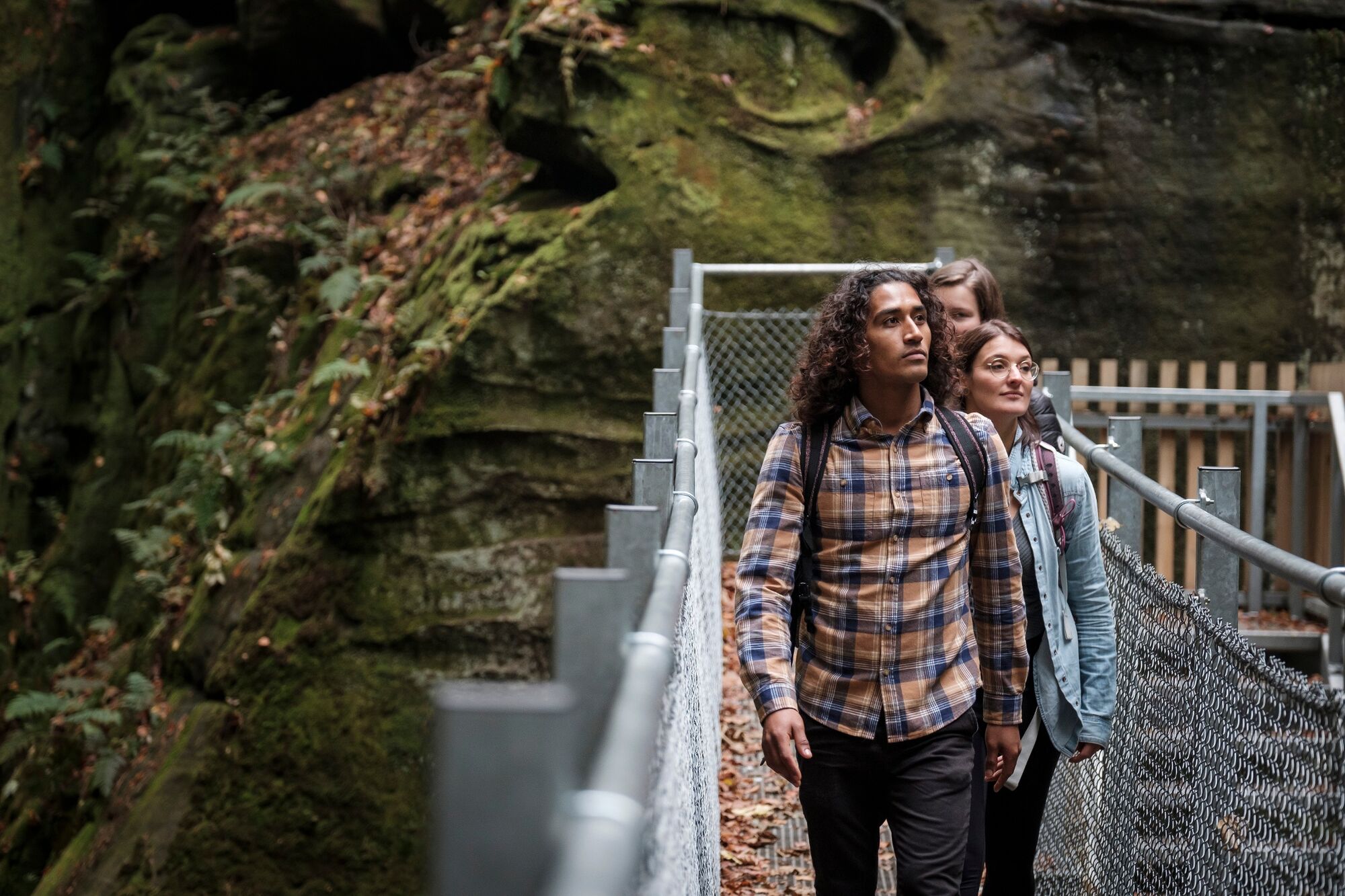
Fascinating rocky landscapes with gorges, crevices, labyrinths and the famous Schéissendëmpel waterfall - Route 2 has so many highlights
- Vaikeus
-
tapa
- Arviointi
-
- Reitti
-
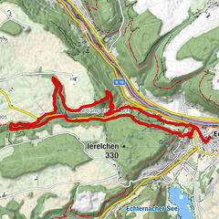
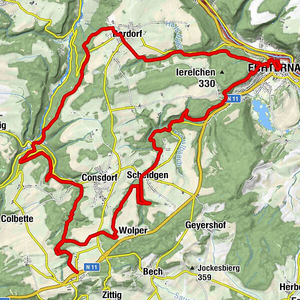
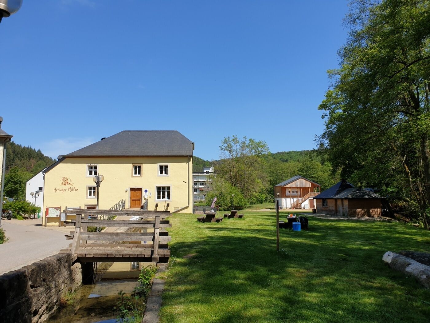
Basilique Saint-WillibrordEchternach0,1 kmMelickshof2,9 kmLauterborn4,1 kmScheidgen8,9 kmDaxelee10,9 kmBiedebaach11,6 kmMichels Kirche13,1 kmWolper13,4 kmHersberg16,5 kmAltrier17,3 kmFelsspalte Kohlscheuer20,0 kmGoldfralay Felsformation23,1 kmEulenburg24,0 kmCascades du Mullerthal24,7 kmMüllerthal25,4 kmLe Cigalon25,7 kmCave Ste Barbe, Entrance 126,8 kmCave of the Celts26,9 kmCave Saint Barbe, Entrance 226,9 kmGrotte St Jean27,2 kmDie Hölle30,8 kmBerdorf31,9 kmSaint-Jean31,9 kmLabyrinth34,7 kmënnert der Laan35,9 kmDeiwelsschlëff36,3 kmWolfsschlucht36,5 kmop Troo37,0 kmEchternach38,5 kmBasilique Saint-Willibrord38,6 km
- Paras kausi
-
tammihelmimaalishuhtitoukokesäheinäelosyyslokamarrasjoulu
- Korkein kohta
- 382 m
- Kohde
-
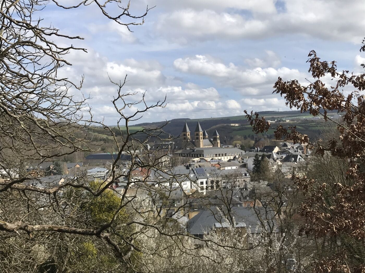
Echternach (Basilica) - Berdorf - Mullerthal - Hersberg - Scheidgen
- Korkeusprofiili
-
 © outdooractive.com


- Kirjoittaja
-
Kiertue Mullerthal Trail Route 2 käyttää outdooractive.com toimitettu.
GPS Downloads
Yleistä tietoa
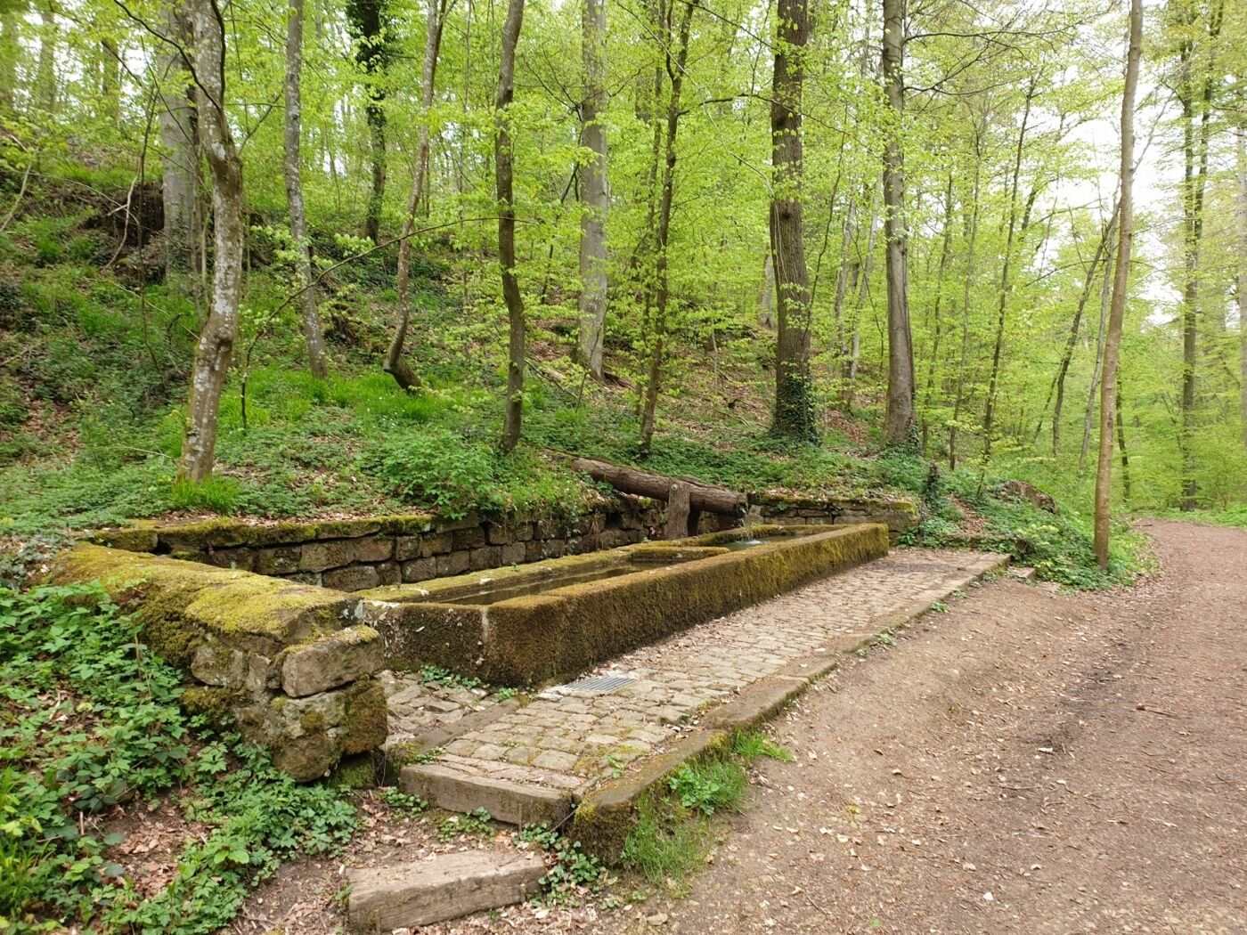
Virvokepysäkki
Lisää retkiä alueilla
-
Müllerthal
549
-
Manternach
167