
- Lyhyt kuvaus
-
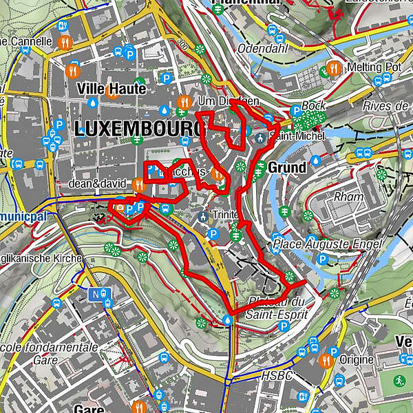
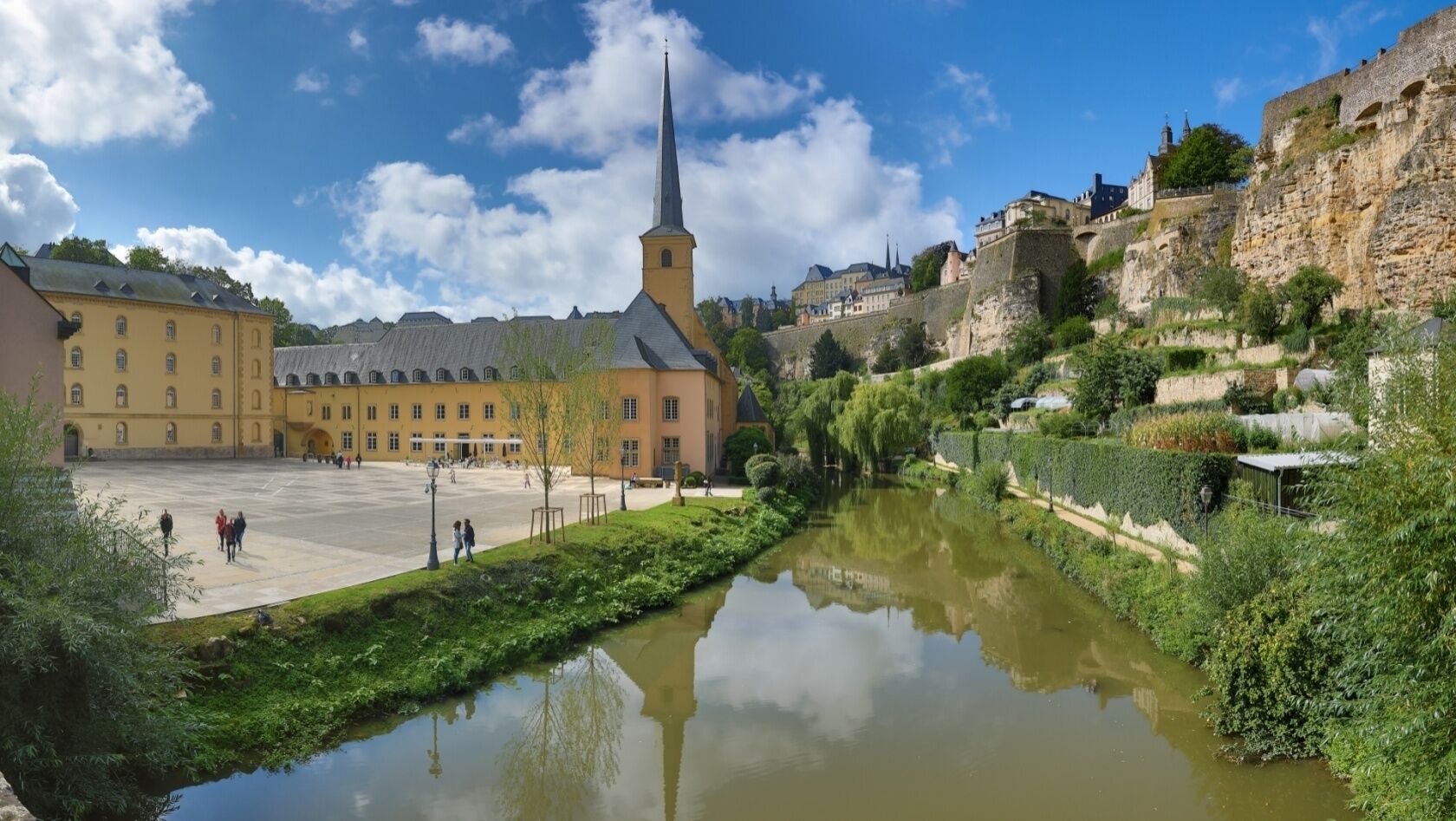
UNESCO Walk - Luxembourg Old Town And Fortifications
- Vaikeus
-
helppo
- Arviointi
-
- Reitti
-
Kanonenhügel1,0 kmÉglise Saint-Michel2,0 kmGrund2,1 kmPfaffenthal2,4 kmOberstadt3,8 kmLuxembourg3,8 km
- Paras kausi
-
tammihelmimaalishuhtitoukokesäheinäelosyyslokamarrasjoulu
- Korkein kohta
- 311 m
- Kohde
-
Place de la Constitution "Gëlle Fra"
- Korkeusprofiili
-
 © outdooractive.com


- Kirjoittaja
-
Kiertue UNESCO Walk - Luxembourg Old Town And Fortifications käyttää outdooractive.com toimitettu.
GPS Downloads


Yleistä tietoa
Virvokepysäkki
Kulttuuri/Historiallinen
Sisäpiirin vinkki
Lisää retkiä alueilla