© Visit Luxembourg - Visit Guttland

© Visit Luxembourg - Visit Guttland

© Visit Luxembourg - Visit Guttland

© Visit Luxembourg - Visit Guttland

© Visit Guttland - Guy Krier

© Visit Guttland

© Visit Guttland

© Visit Guttland

© Visit Guttland

- Lyhyt kuvaus
-
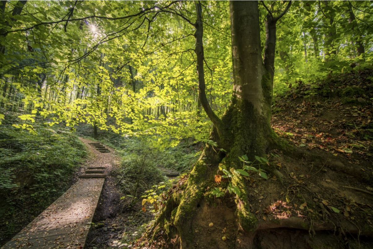
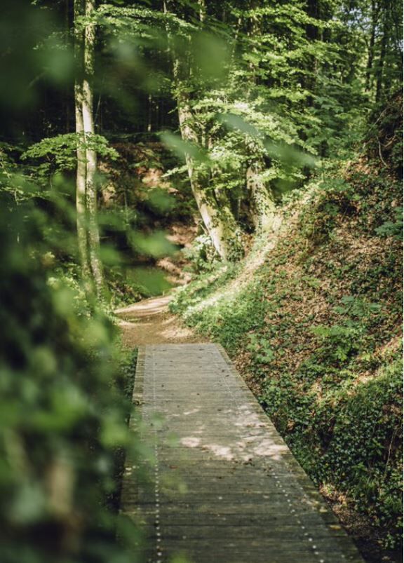
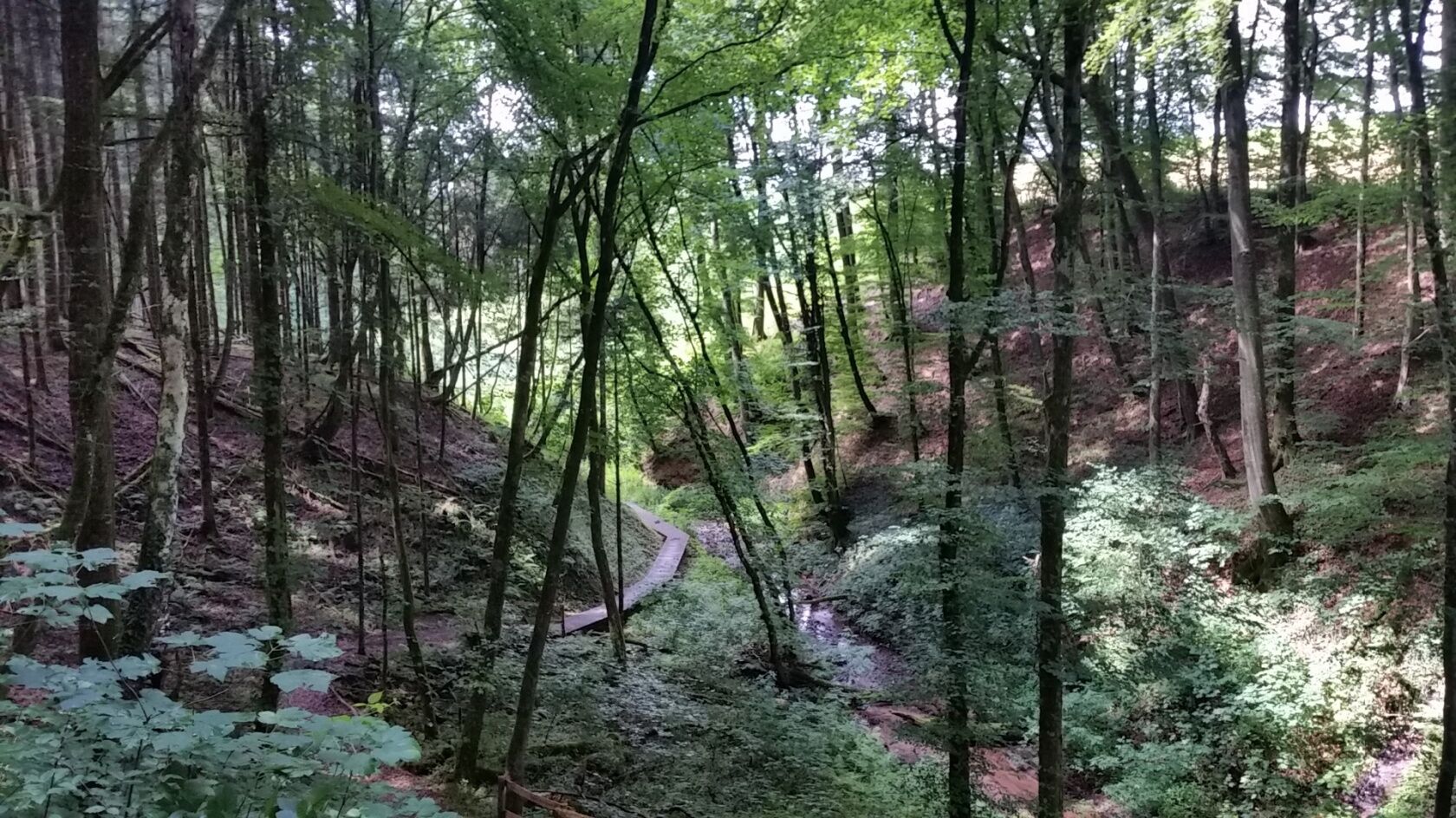
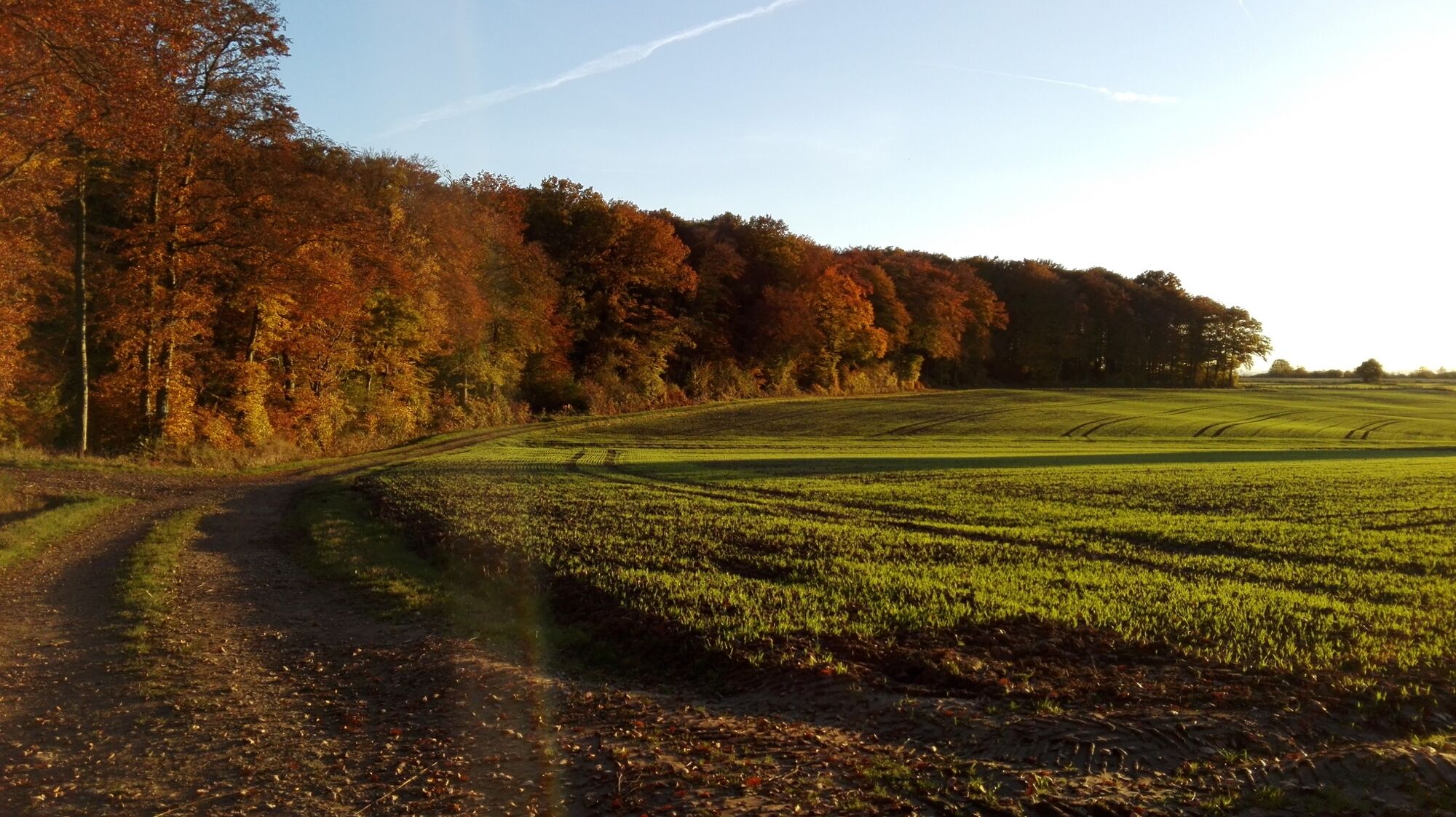
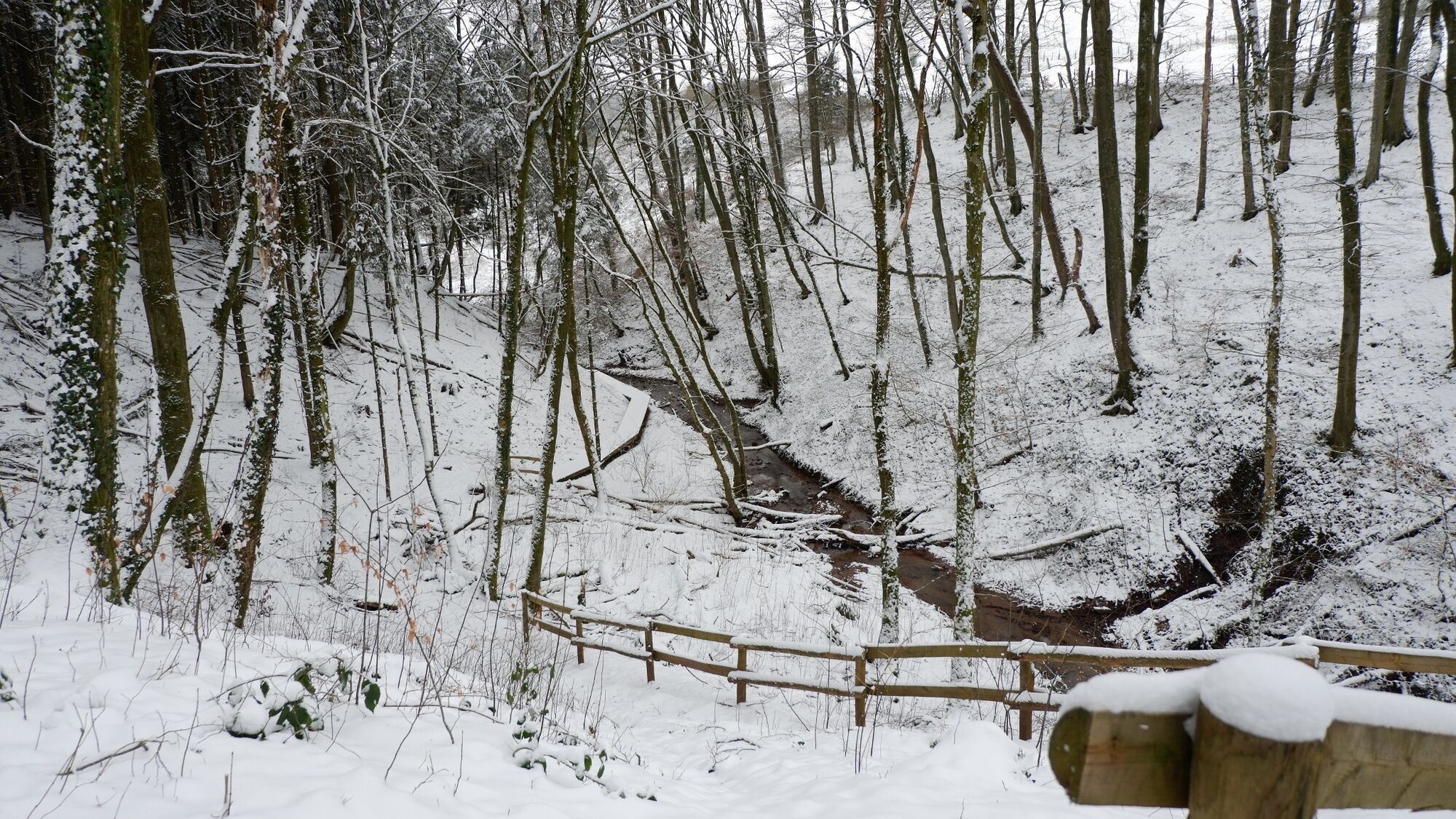
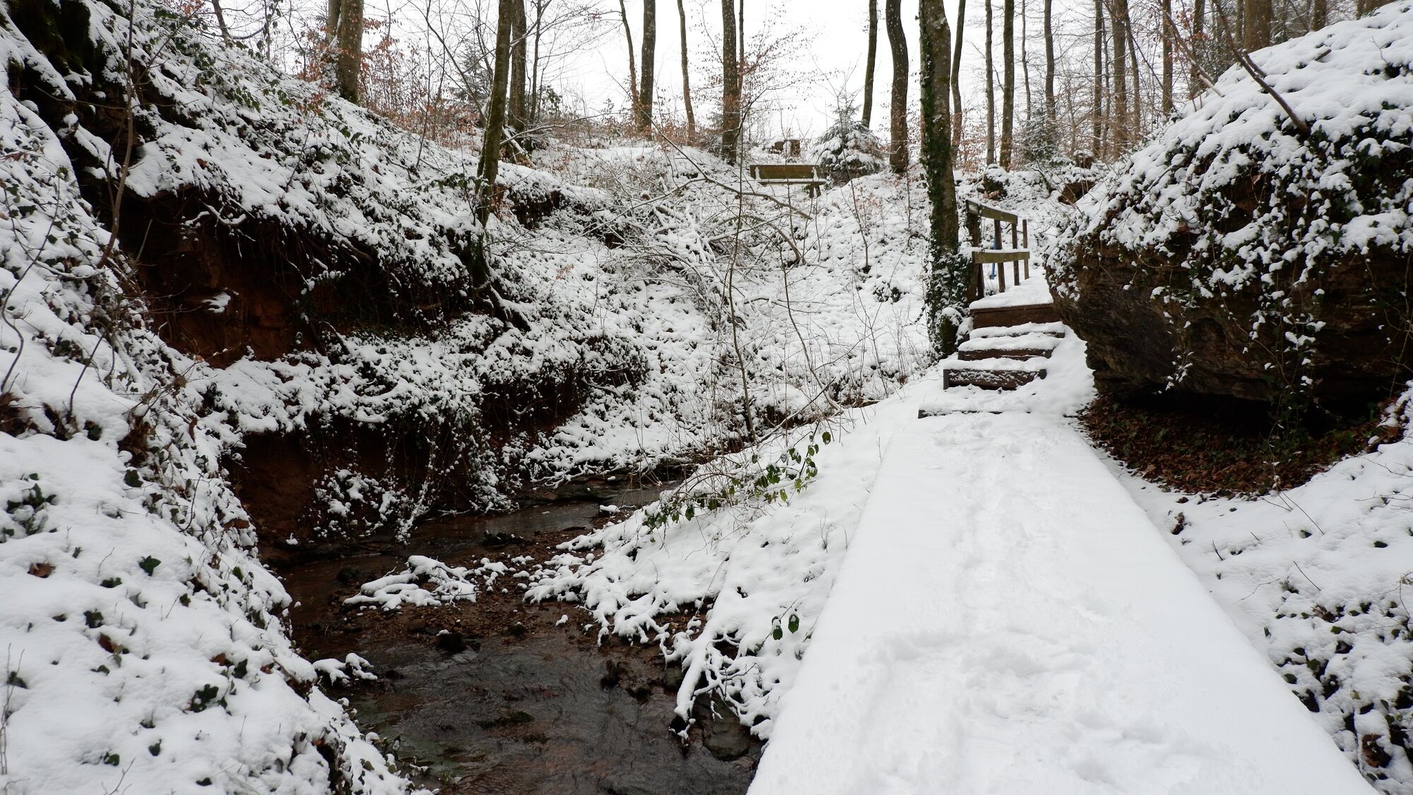
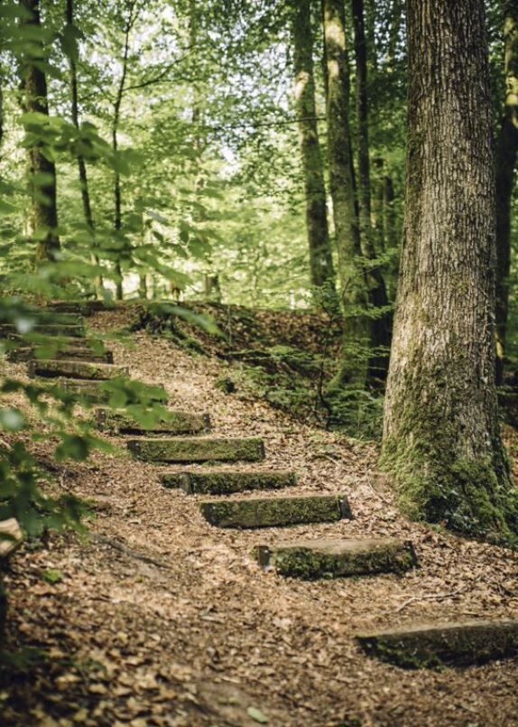
Little ponds, bark mulch paths, a stream winding through the mysterious Schankegriecht valley, numerous narrow wooden bridges, the peace of nature … the perfect place to relax and recharge your batteries!
- Vaikeus
-
tapa
- Arviointi
-
- Paras kausi
-
tammihelmimaalishuhtitoukokesäheinäelosyyslokamarrasjoulu
- Korkein kohta
- 381 m
- Kohde
-
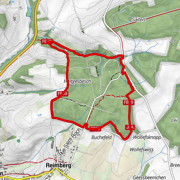
Parking St. Rochus-Kapelle Reimberg (Gemeinde Preizerdaul - Luxemburg)
- Korkeusprofiili
-
 © outdooractive.com


-

-
KirjoittajaKiertue Guttland.Trail Siwe Brécke-Wee käyttää outdooractive.com toimitettu.
GPS Downloads


Yleistä tietoa
Virvokepysäkki
Flora
Fauna
Lisää retkiä alueilla
-
Guttland
413
-
Préizerdaul
94