
- Lyhyt kuvaus
-
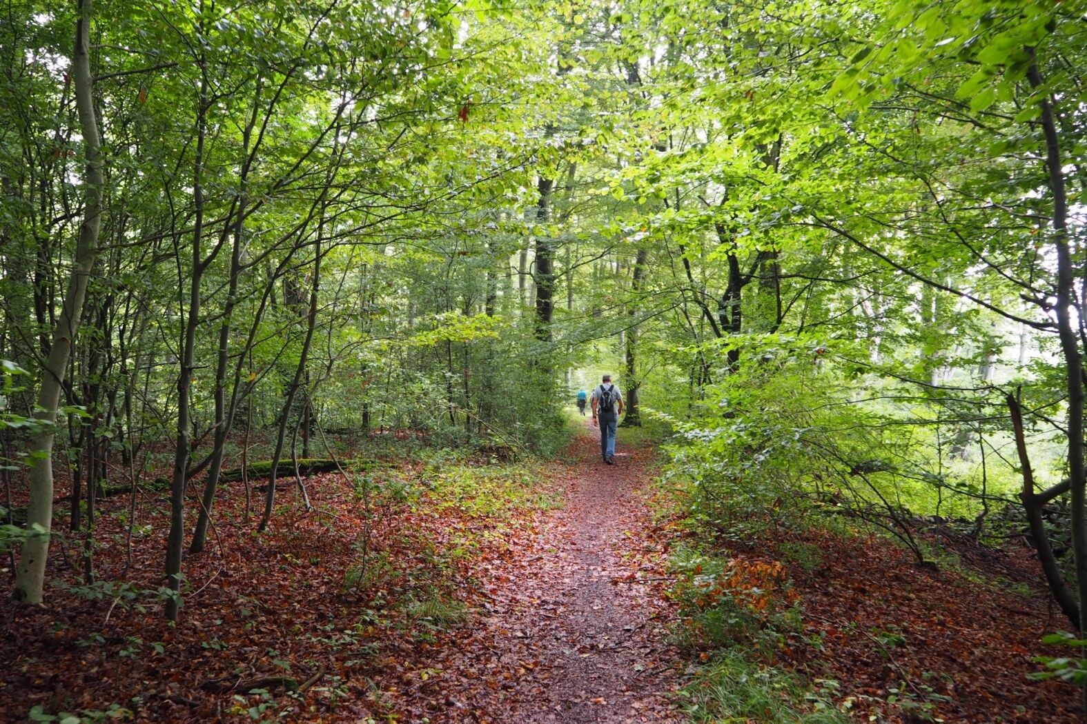
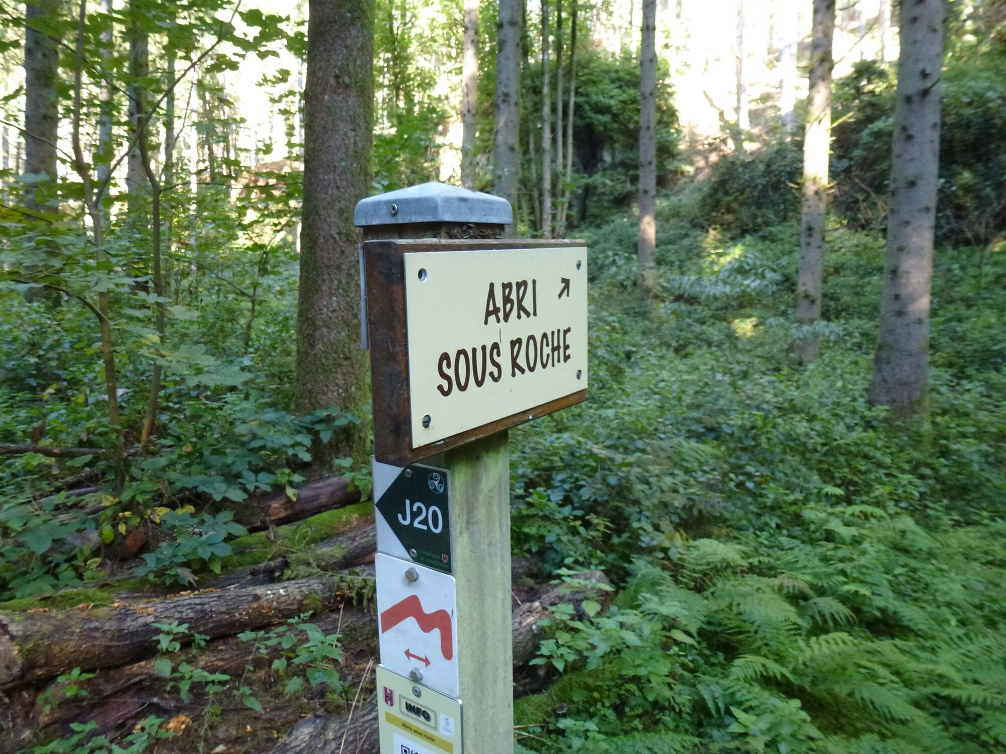
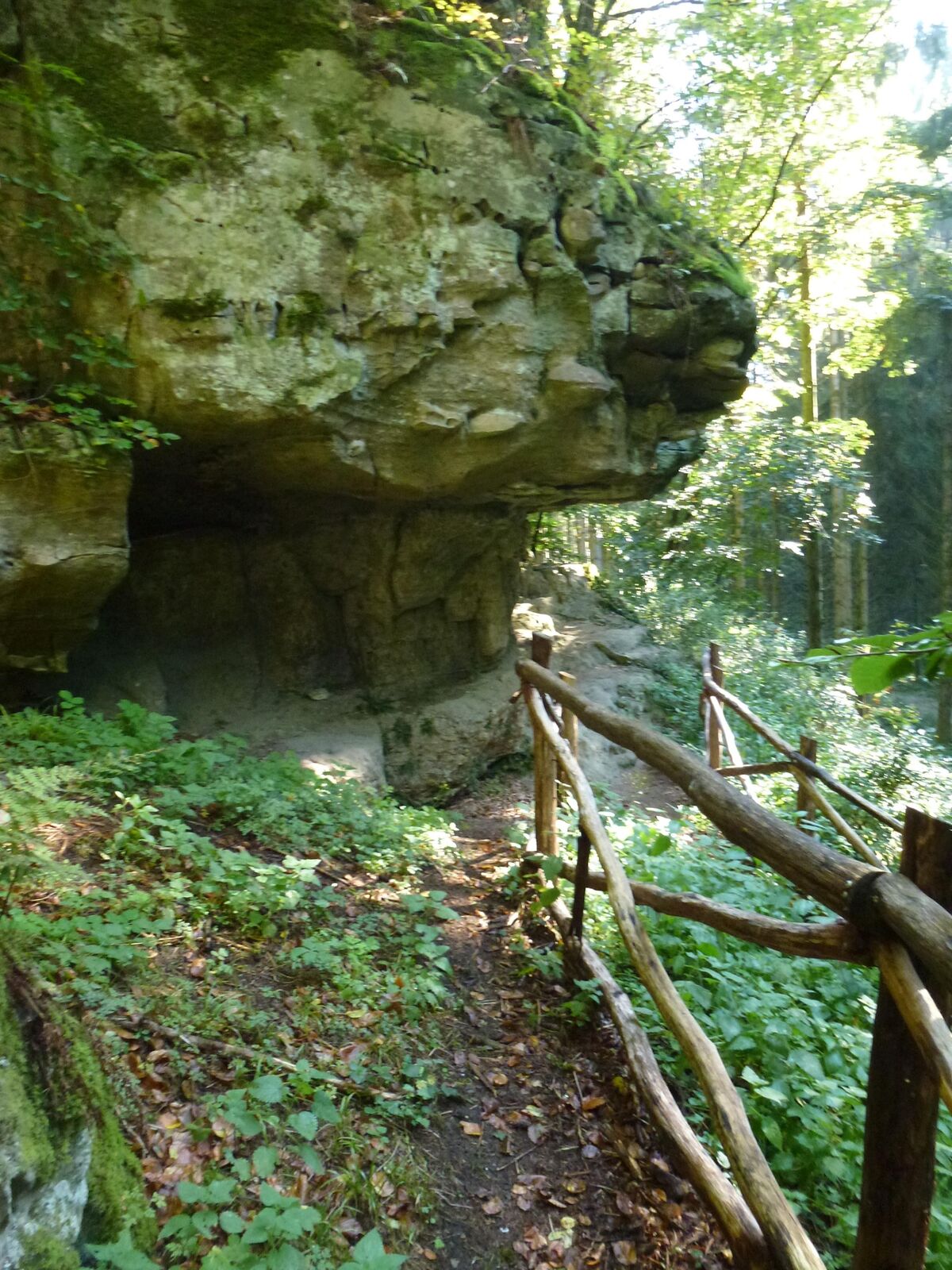
The highlights of the tour are a Stone Age dwelling "abris sous roche" and a romantic pond in the forest with a place to rest.
- Vaikeus
-
helppo
- Arviointi
-
- Reitti
-
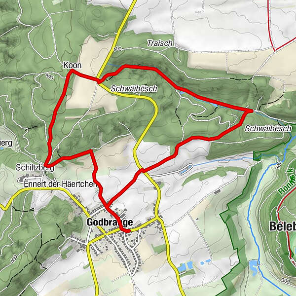
Saint-MédardChez Manuel0,0 kmSchiltzberg1,2 kmKoon1,9 kmGodbringen5,4 kmChez Manuel5,5 kmSaint-Médard5,5 km
- Paras kausi
-
tammihelmimaalishuhtitoukokesäheinäelosyyslokamarrasjoulu
- Korkein kohta
- 408 m
- Kohde
-
Godbrange: Pavilion at the church
- Korkeusprofiili
-
 © outdooractive.com
- Kirjoittaja
-
Kiertue Local hiking trail - J16 käyttää outdooractive.com toimitettu.
GPS Downloads


Lisää retkiä alueilla
-
Müllerthal
548
-
Niederanven
105