© Ferien- und Ausflugsregion Schwyz - Schwyz Tourismus

© Ferien- und Ausflugsregion Schwyz - Schwyz Tourismus

© Ferien- und Ausflugsregion Schwyz - Schwyz Tourismus

© Ferien- und Ausflugsregion Schwyz - Schwyz Tourismus

© Ferien- und Ausflugsregion Schwyz - Schwyz Tourismus

© Ferien- und Ausflugsregion Schwyz - Schwyz Tourismus

© Ferien- und Ausflugsregion Schwyz - Schwyz Tourismus

- Lyhyt kuvaus
-
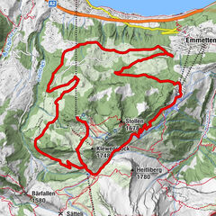
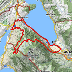
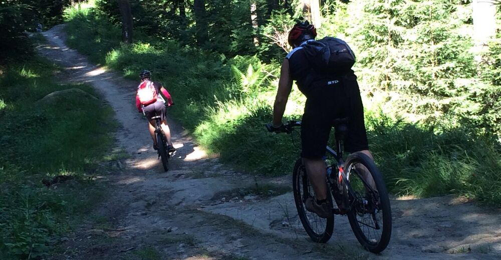
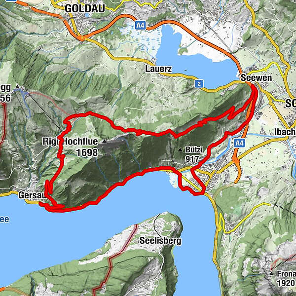
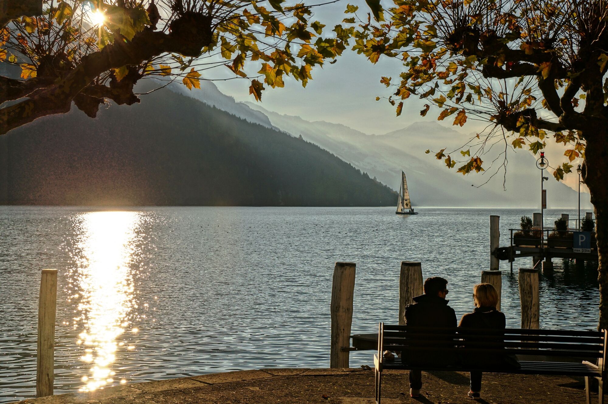
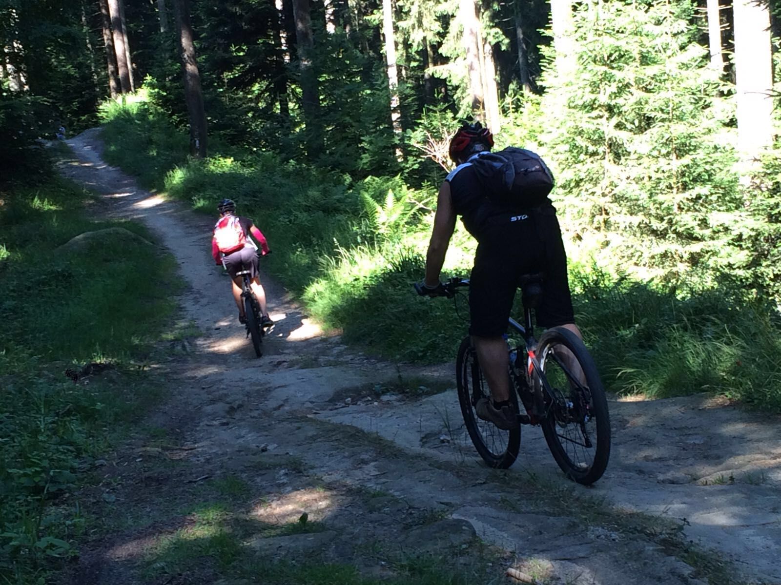
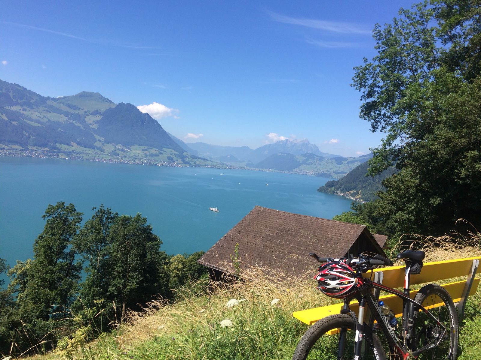
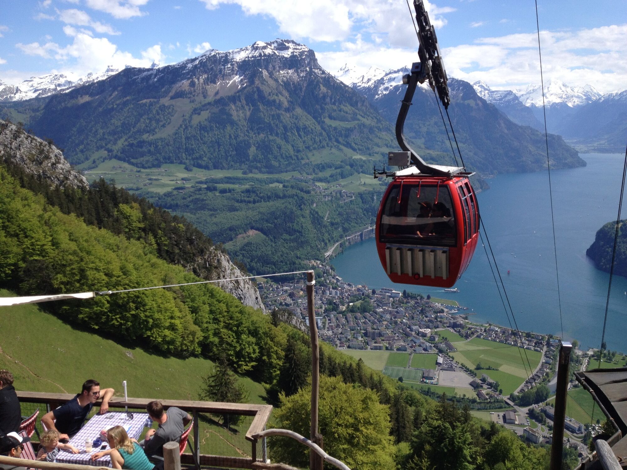
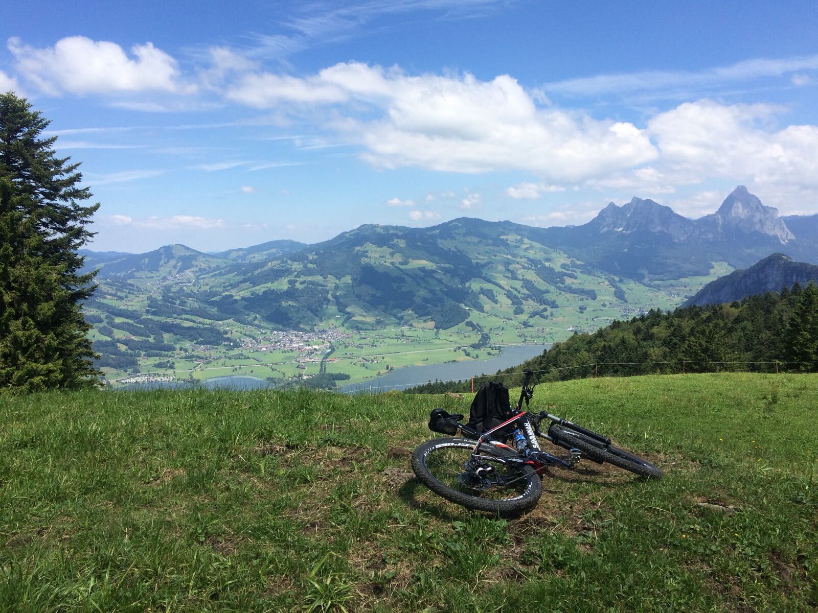
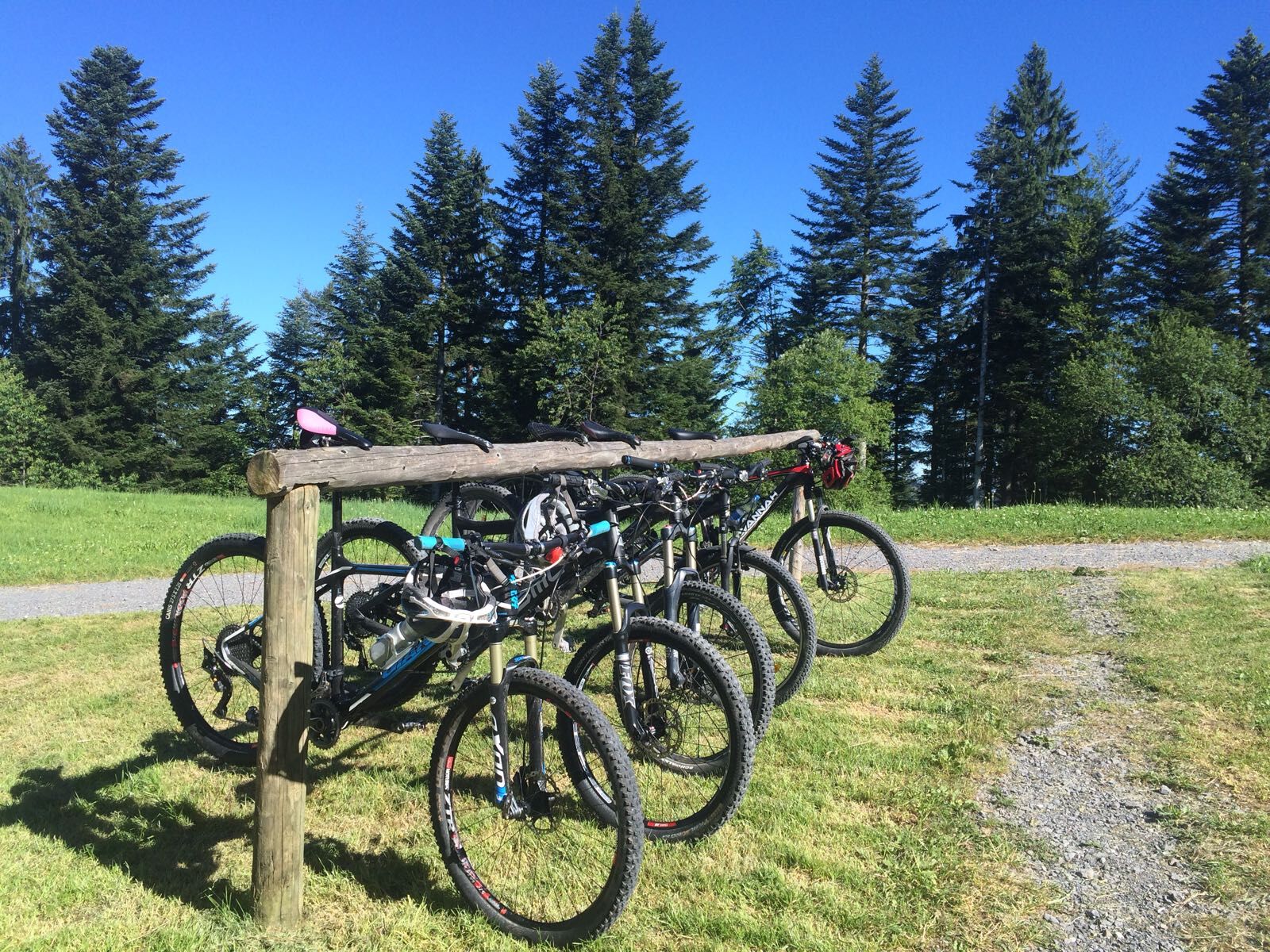
The routes on the Rigi massif offer some of the best mountain biking in Central Switzerland. The fabulous views in all directions are a joy for the eye and balm for the soul.
- Vaikeus
-
tapa
- Arviointi
-
- Reitti
-
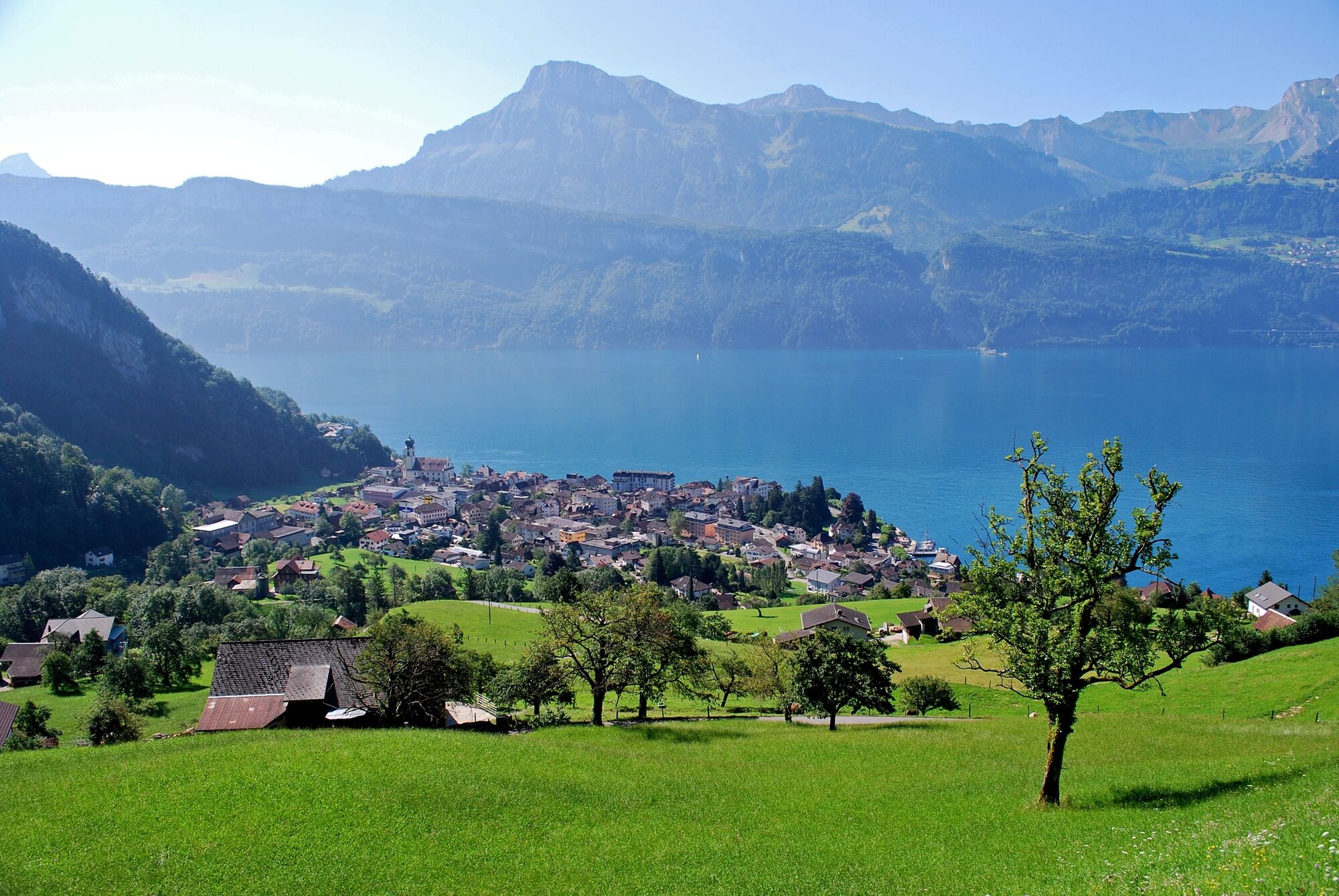
BundeskapelleBrunnenLandungssteg SGV Brunnen0,0 kmBrunnen (440 m)1,7 kmBrunnen SZ2,7 kmEichwald3,6 kmBrünischart3,6 kmLangmatt4,3 kmKapelle Mariahilf5,5 kmGersau7,3 kmOber Gschwend (1.012 m)13,0 kmZum Gätterlipass14,7 kmSchwand18,2 kmSeewen (455 m)23,7 kmSchwyz (516 m)24,1 kmAlpenrösli25,9 kmWylen27,2 kmLaurentius-Kapelle Wylen27,3 kmHerrenmatt27,5 kmSchwärteren27,7 kmRubisacher28,2 kmBrunnen29,1 kmBundeskapelle29,2 km
- Paras kausi
-
tammihelmimaalishuhtitoukokesäheinäelosyyslokamarrasjoulu
- Korkein kohta
- 1.327 m
- Kohde
-
Brunnen
- Korkeusprofiili
-
 © outdooractive.com
-

-
KirjoittajaKiertue Rigi Tour - SwitzerlandMobility Route 963 käyttää outdooractive.com toimitettu.
GPS Downloads


Yleistä tietoa
Virvokepysäkki
Flora
Lupaava
Lisää retkiä alueilla
-
Schwyz
196
-
Erlebnisregion Mythen
97
-
Lauerz
34