© UNESCO Biosphäre Entlebuch - Martin Mägli

© UNESCO Biosphäre Entlebuch

© UNESCO Biosphäre Entlebuch - Richard Portmann
- Lyhyt kuvaus
-
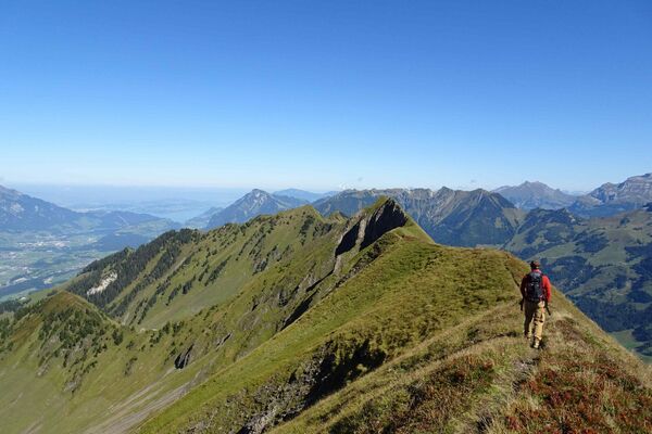
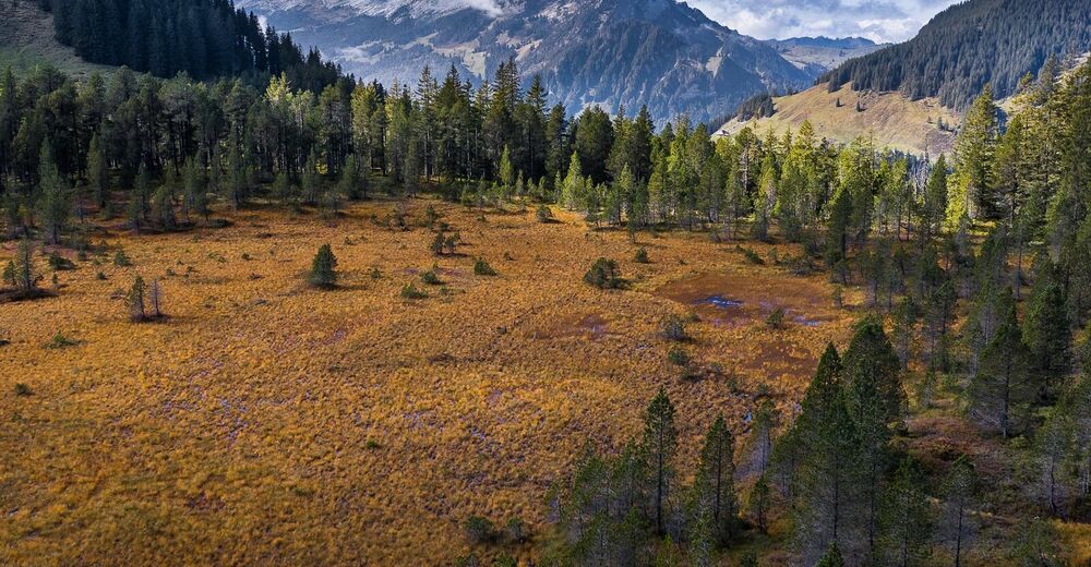
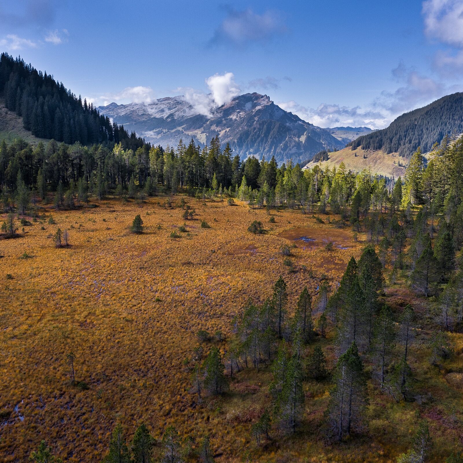
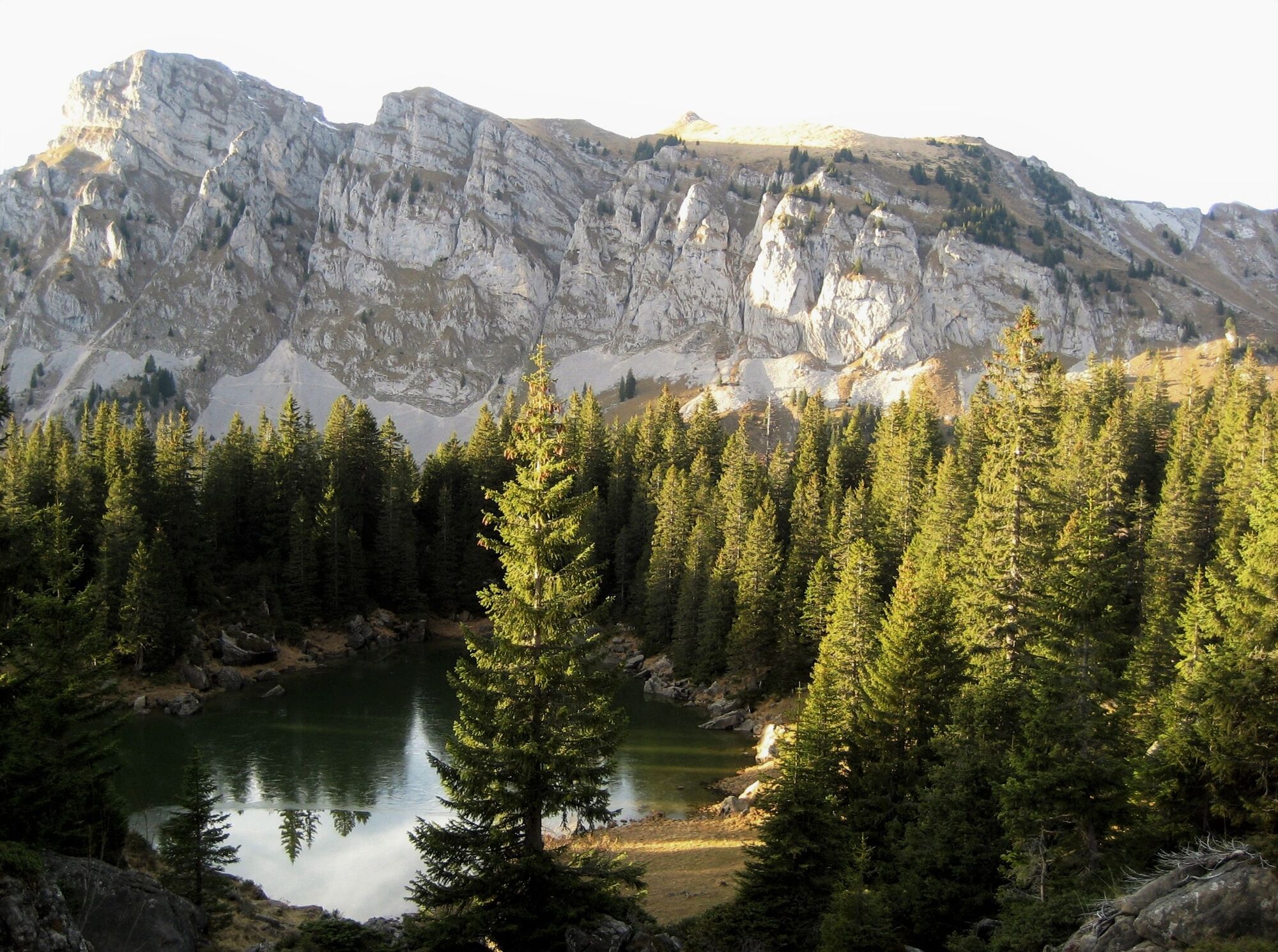
Tageswanderung in wilder Landschaft mit Schluchten und Bergsturzgebieten über die Wasserfallenegg.
- Vaikeus
-
vaikea
- Arviointi
-
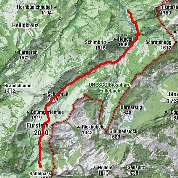
- Reitti
-
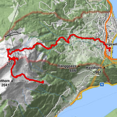
GfellenHintergrund3,7 kmWasserfallenegg9,9 kmAlpwirtschaft Stäldeli13,7 km
- Paras kausi
-
tammihelmimaalishuhtitoukokesäheinäelosyyslokamarrasjoulu
- Korkein kohta
- 1.788 m
- Kohde
-
Flühli, Alprestaurant Stäldeli
- Korkeusprofiili
-
 © outdooractive.com
- Kirjoittaja
-
Kiertue Moorlandschaftspfad Etappe 4: Moorlandschaft Glaubenberg käyttää outdooractive.com toimitettu.
GPS Downloads


Yleistä tietoa
Virvokepysäkki
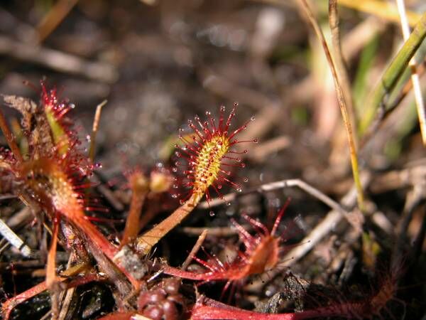
Flora
Lisää retkiä alueilla
-
Obwalden
2018
-
UNESCO Biosphäre Entlebuch
630
-
Hasle LU
143