© Schwyz Tourismus - Manuela Gili

© Schwyz Tourismus - Manuela Gili

© Schwyz Tourismus - Manuela Gili

© Schwyz Tourismus - Manuela Gili

© Schwyz Tourismus - Manuela Gili

© Schwyz Tourismus - Manuela Gili

© Schwyz Tourismus - Manuela Gili

© Schwyz Tourismus - Manuela Gili

- Lyhyt kuvaus
-
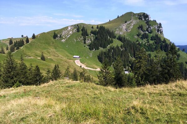
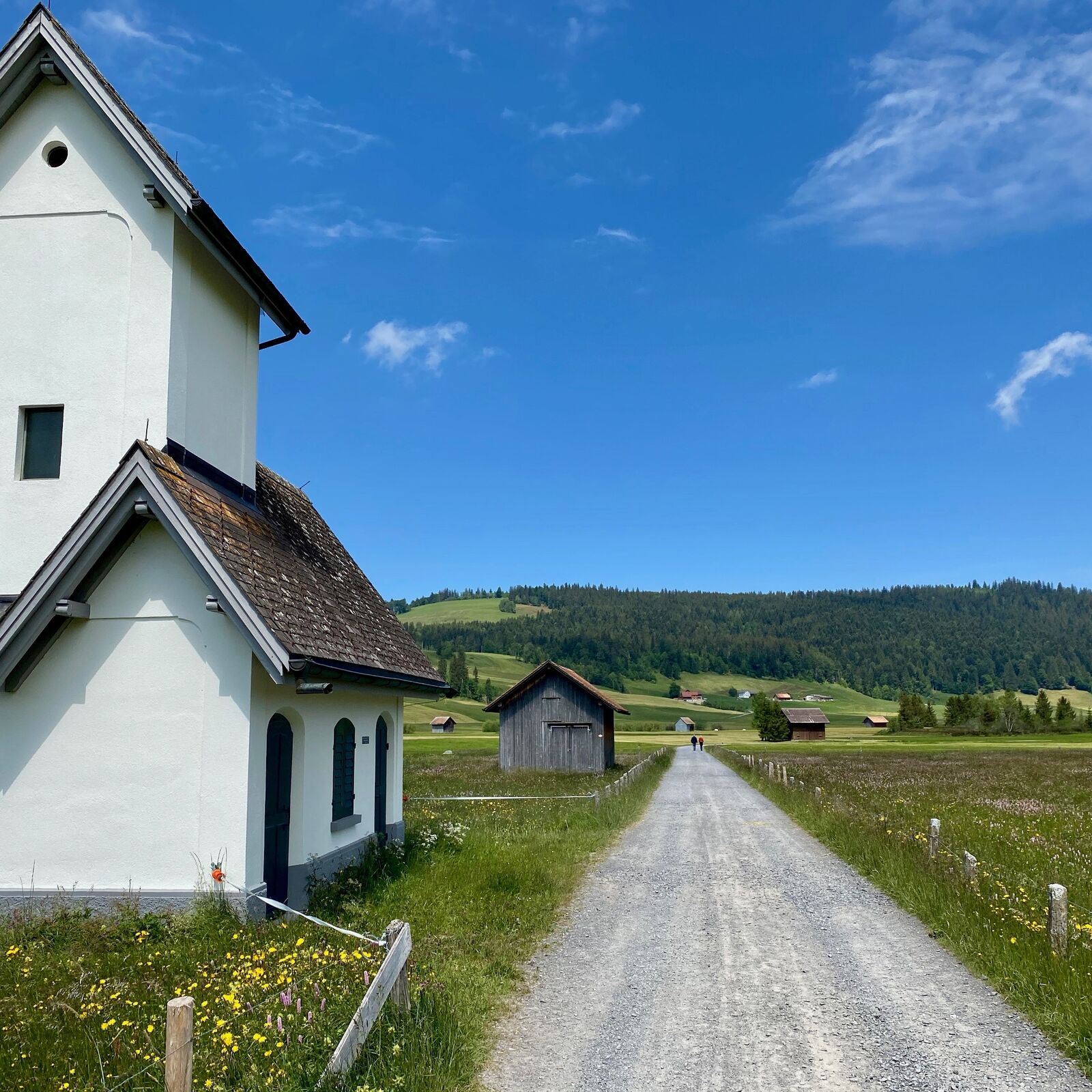
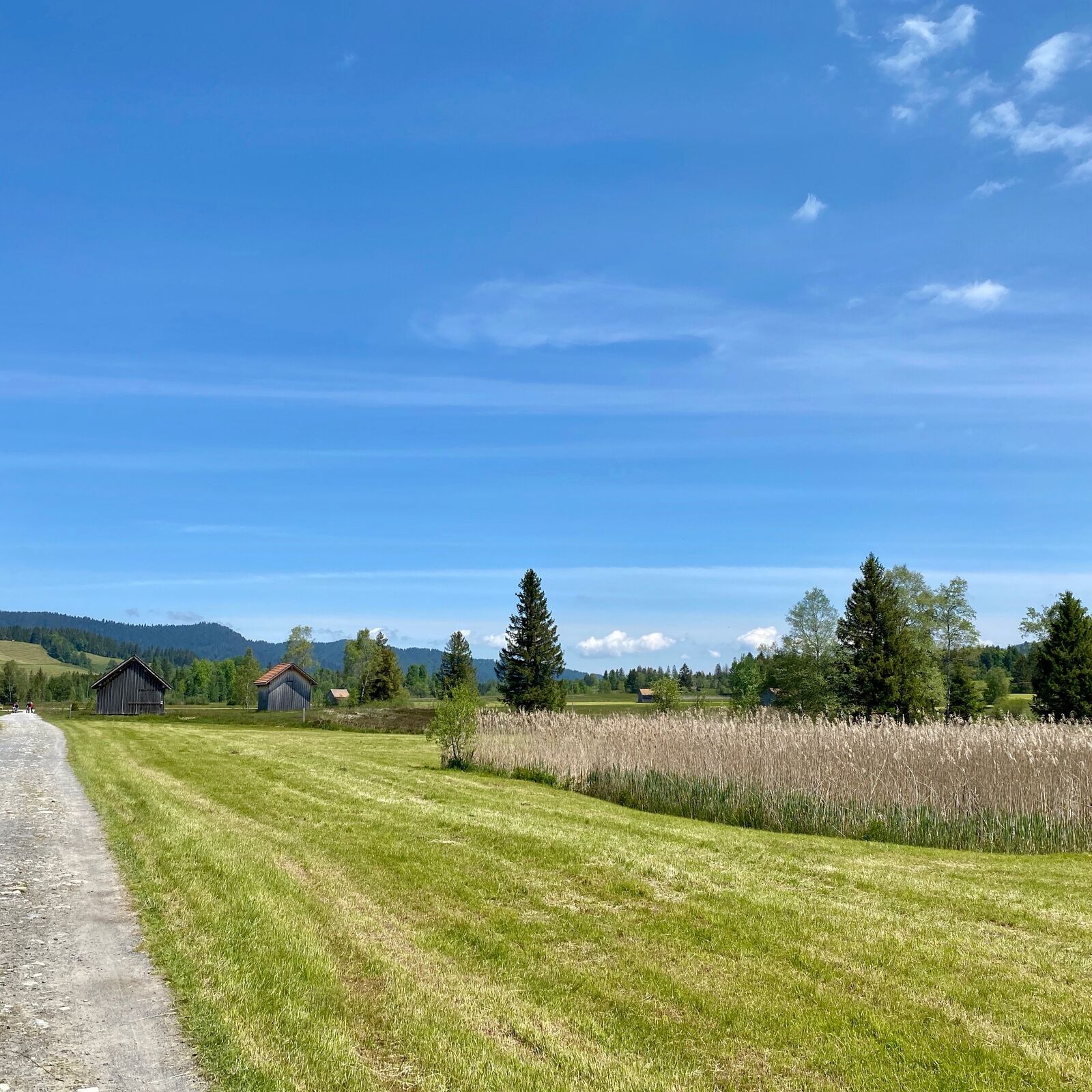
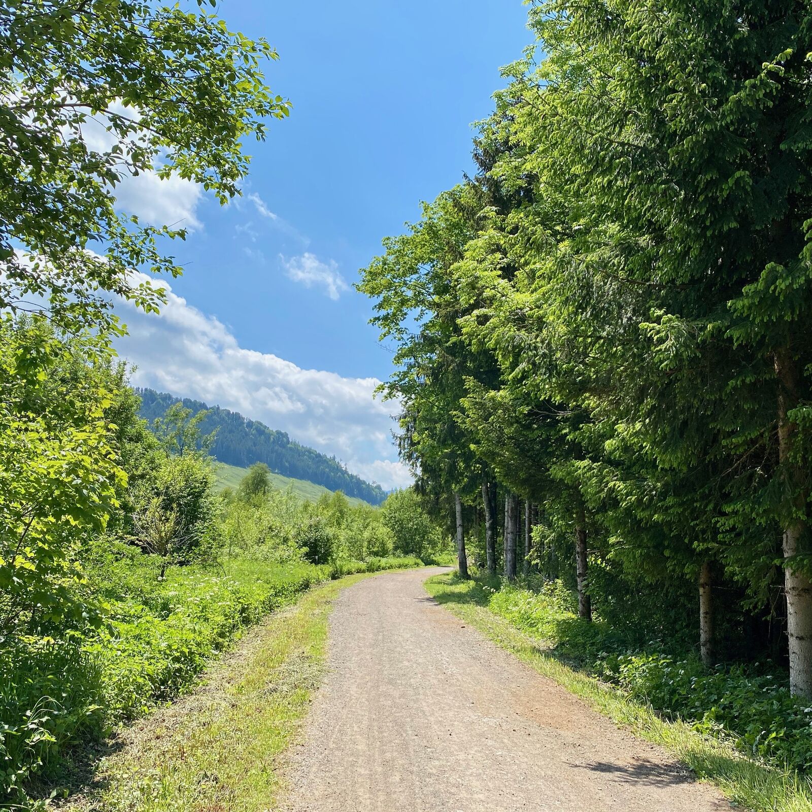
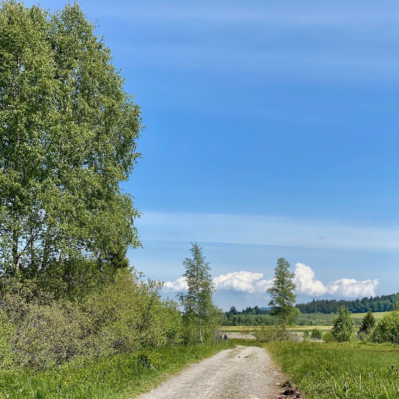
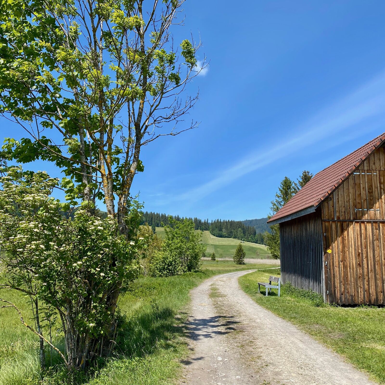
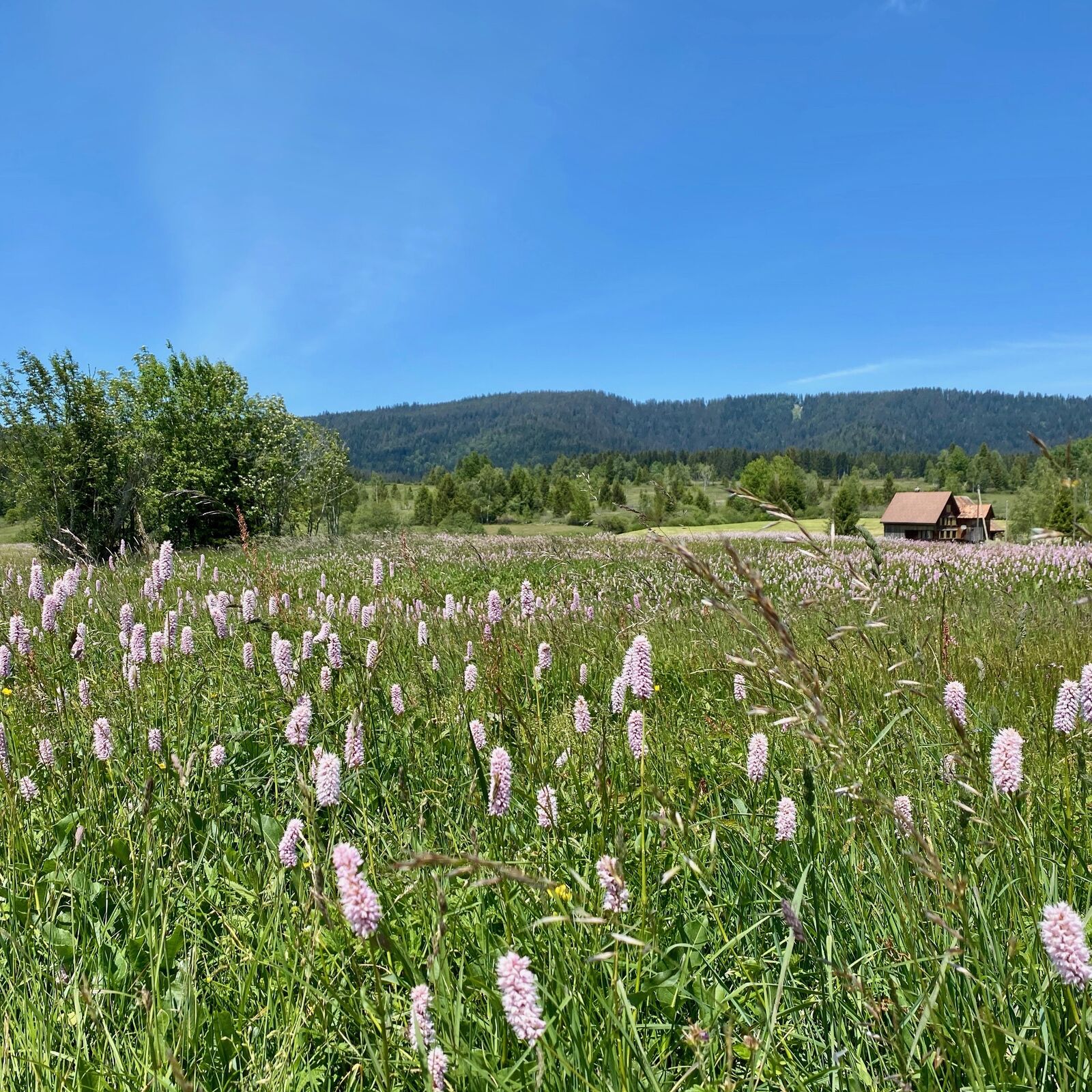
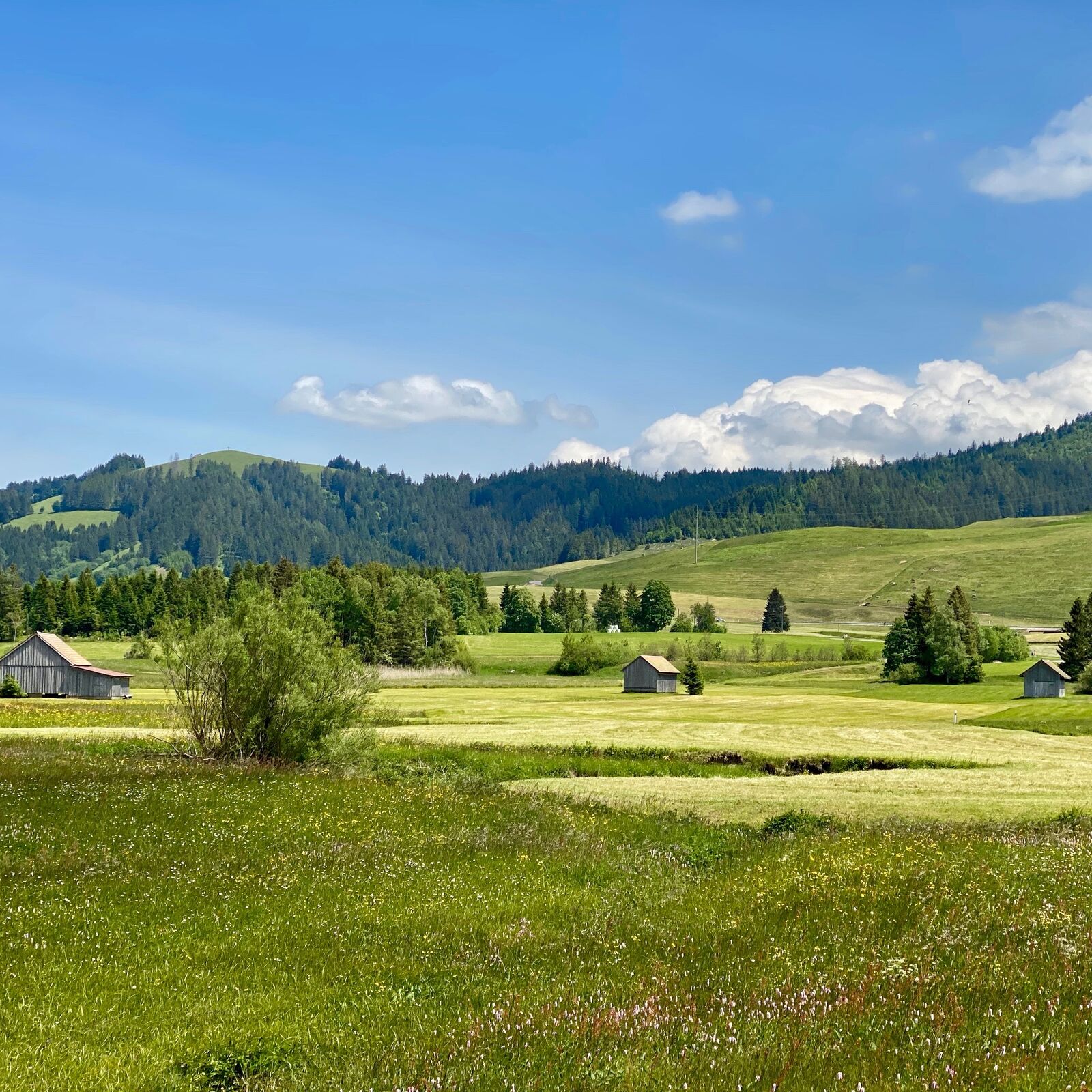
Rothenthurm is a diverse area in every season. However, the colours of Switzerland's largest continuous upland moorland shine most beautifully in autumn.
- Vaikeus
-
helppo
- Arviointi
-
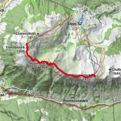
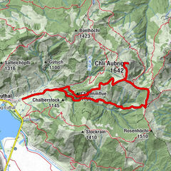
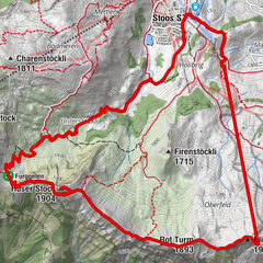
- Reitti
-
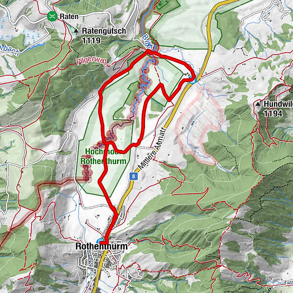
Rothenthurm (923 m)1. Altmatt0,6 kmAltmatt (920 m)4,8 km3. Altmatt4,8 kmSteinstoss-Stubli6,6 km1. Altmatt9,3 kmRothenthurm (923 m)10,1 km
- Paras kausi
-
tammihelmimaalishuhtitoukokesäheinäelosyyslokamarrasjoulu
- Korkein kohta
- 925 m
- Kohde
-
Railwaystation Rothenthurm
- Korkeusprofiili
-
 © outdooractive.com
- Kirjoittaja
-
Kiertue WanderWunder Schwyz: Round Hike Moorland Rothenthurm käyttää outdooractive.com toimitettu.
GPS Downloads


Yleistä tietoa
Virvokepysäkki
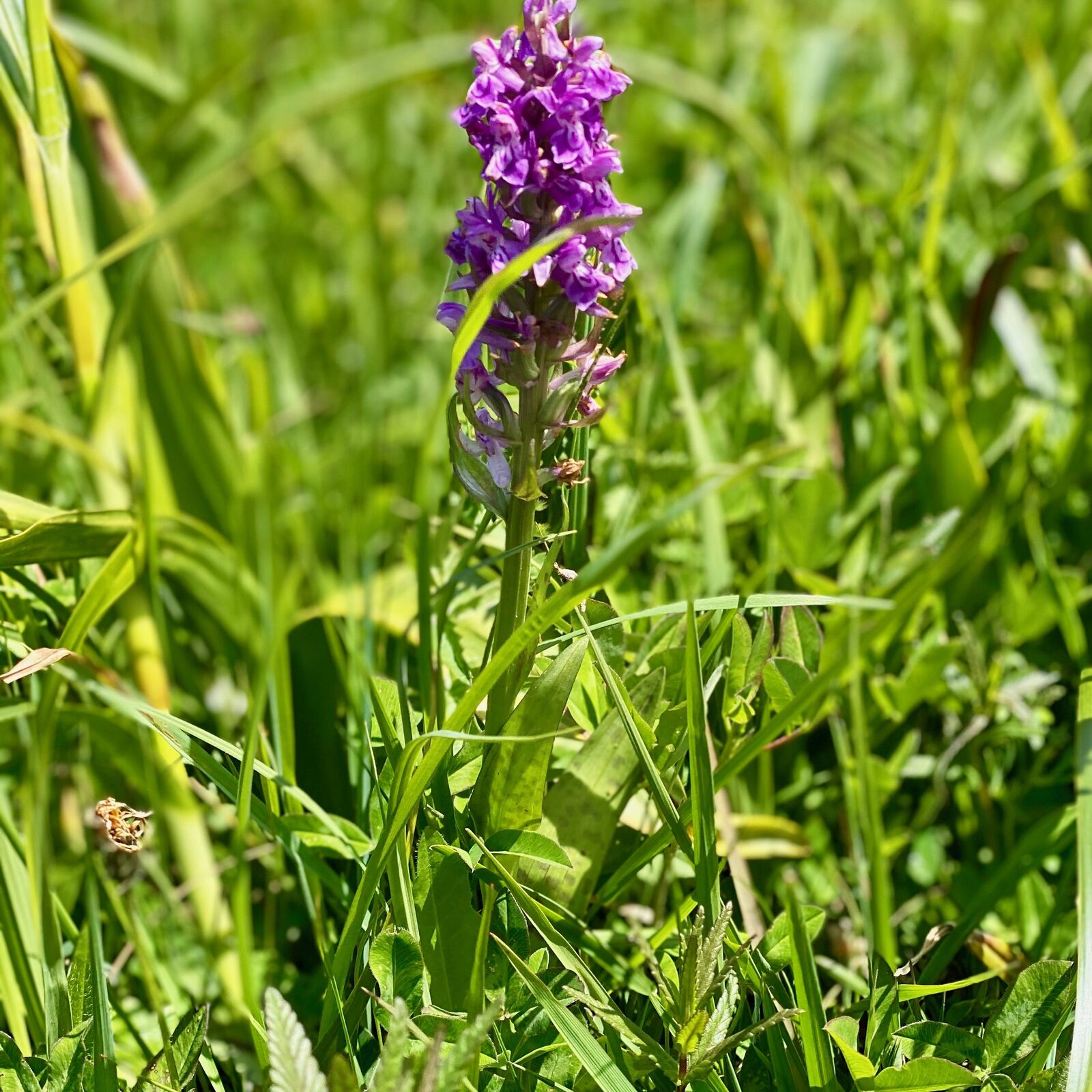
Flora
Lisää retkiä alueilla
-
Schwyz
1747
-
Erlebnisregion Mythen
872
-
Rothenthurm
311