© Schwyzer Wanderwege - zuerrer.com

© Schwyzer Wanderwege - zuerrer.com

© Schwyzer Wanderwege - zuerrer.com

© Schwyzer Wanderwege - Erhard Gick

© Schwyzer Wanderwege - Erhard Gick

© Schwyzer Wanderwege - Erhard Gick

- Lyhyt kuvaus
-
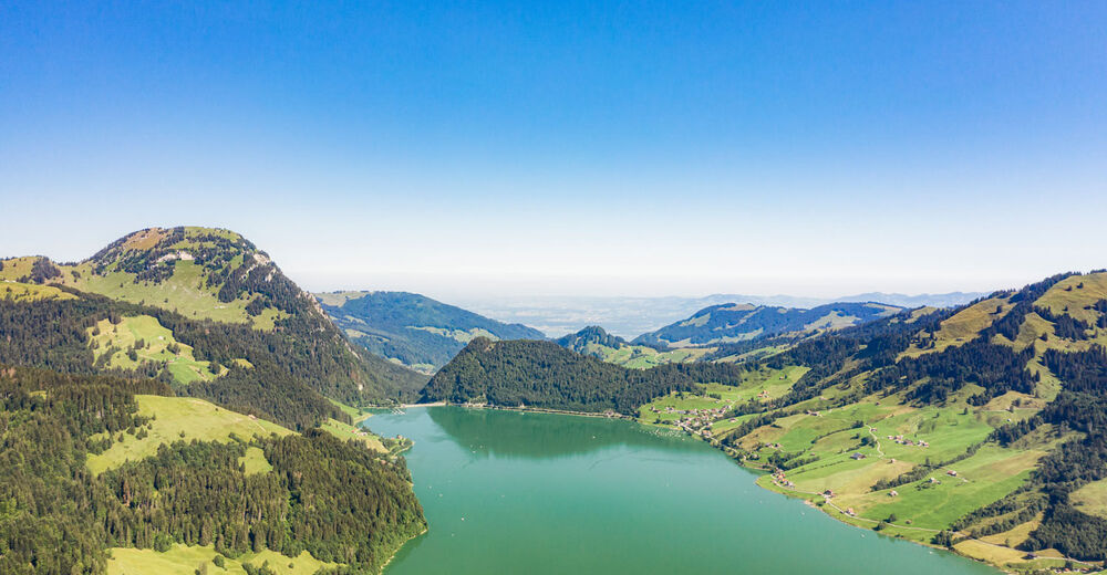
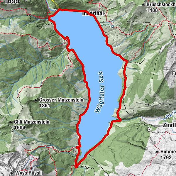
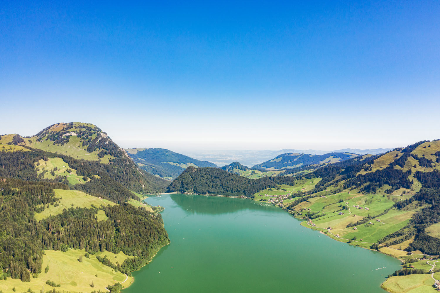
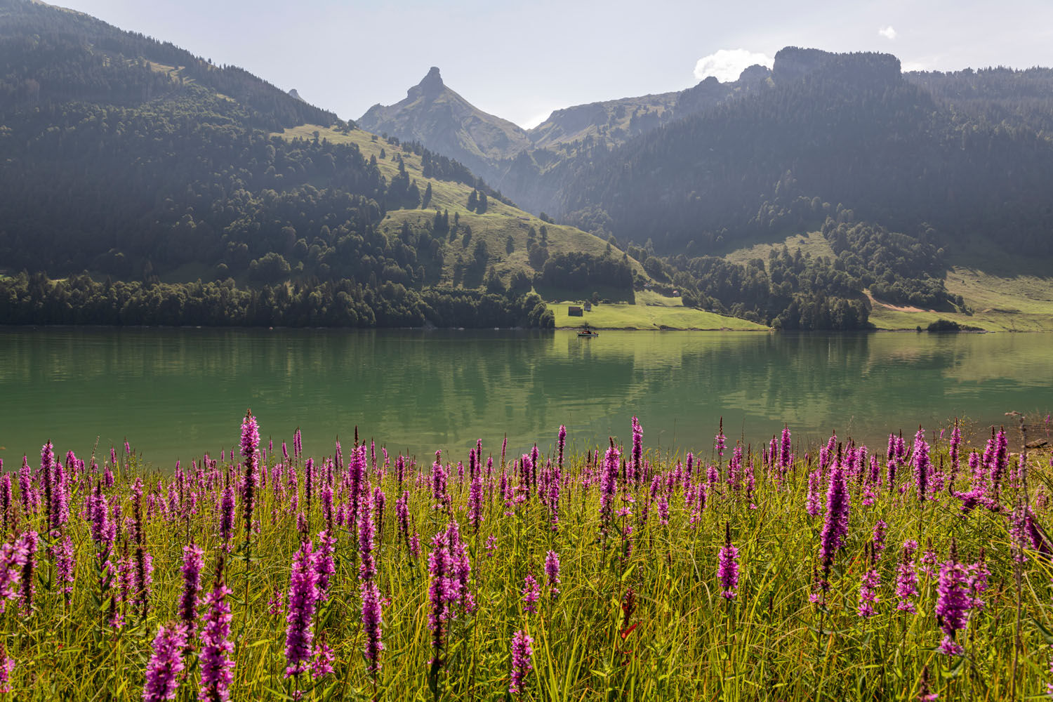
Starting in Innerthal, the easy hiking trail leads around the idyllic Wägitalersee. This barrier lake was built in the varied mountains during the 1920s, e.g. the Bockmattli is well known for climbing. Furthermore there are about 200 rather unknown caves in the valley as well as 22 cultivated alps during the summer season. In addition to fishing, jogging, skating, biking, hiking, climbing and swimming, boats can be rented as well as carriage rides around the lake.
- Vaikeus
-
tapa
- Arviointi
-
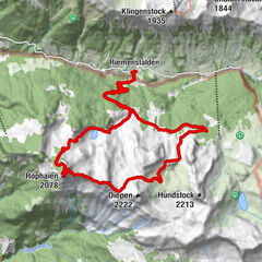
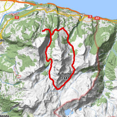
- Reitti
-
InnerthalStausee0,0 kmFelsenegg0,7 kmUntere Sennegg0,9 kmUnterer Brand1,3 kmEnnenda1,6 kmRüti2,0 kmOberhof2,2 kmFläschloch3,2 kmHundlochquelle5,3 kmWärterhaus12,1 kmInnerthal12,8 kmStausee12,9 km
- Paras kausi
-
tammihelmimaalishuhtitoukokesäheinäelosyyslokamarrasjoulu
- Korkein kohta
- 932 m
- Kohde
-
Innerthal
- Korkeusprofiili
-
 © outdooractive.com


-

-
KirjoittajaKiertue Wägitalersee käyttää outdooractive.com toimitettu.
GPS Downloads


Yleistä tietoa
Virvokepysäkki
Fauna
Lupaava
Lisää retkiä alueilla
-
Glarnerland
1972
-
Einsiedeln-Ybrig-Zürichsee
867
-
Wägital
157