© Einsiedeln-Ybrig-Zürichsee Tourismus
© Einsiedeln-Ybrig-Zürichsee Tourismus

© Einsiedeln-Ybrig-Zürichsee - Martha Reichmuth

- Lyhyt kuvaus
-
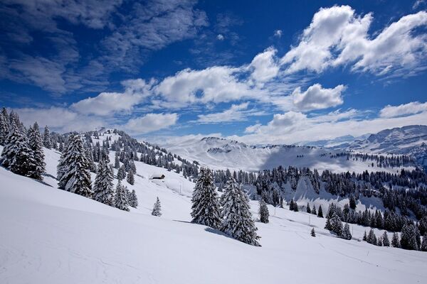
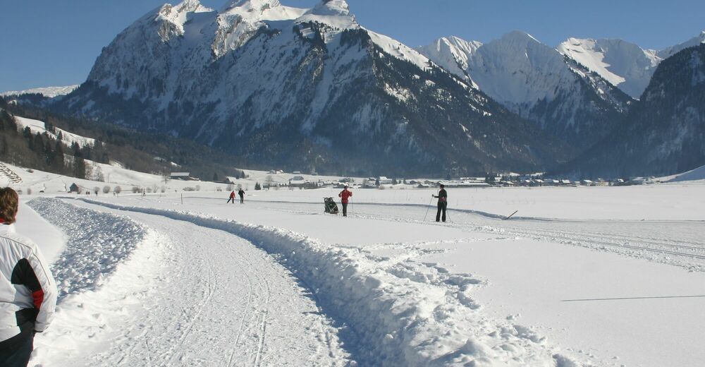
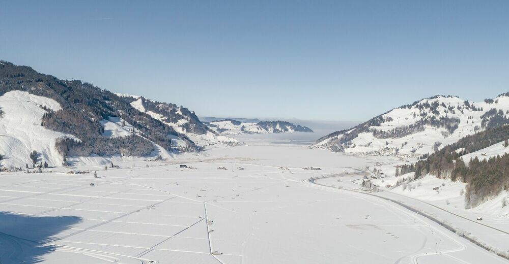
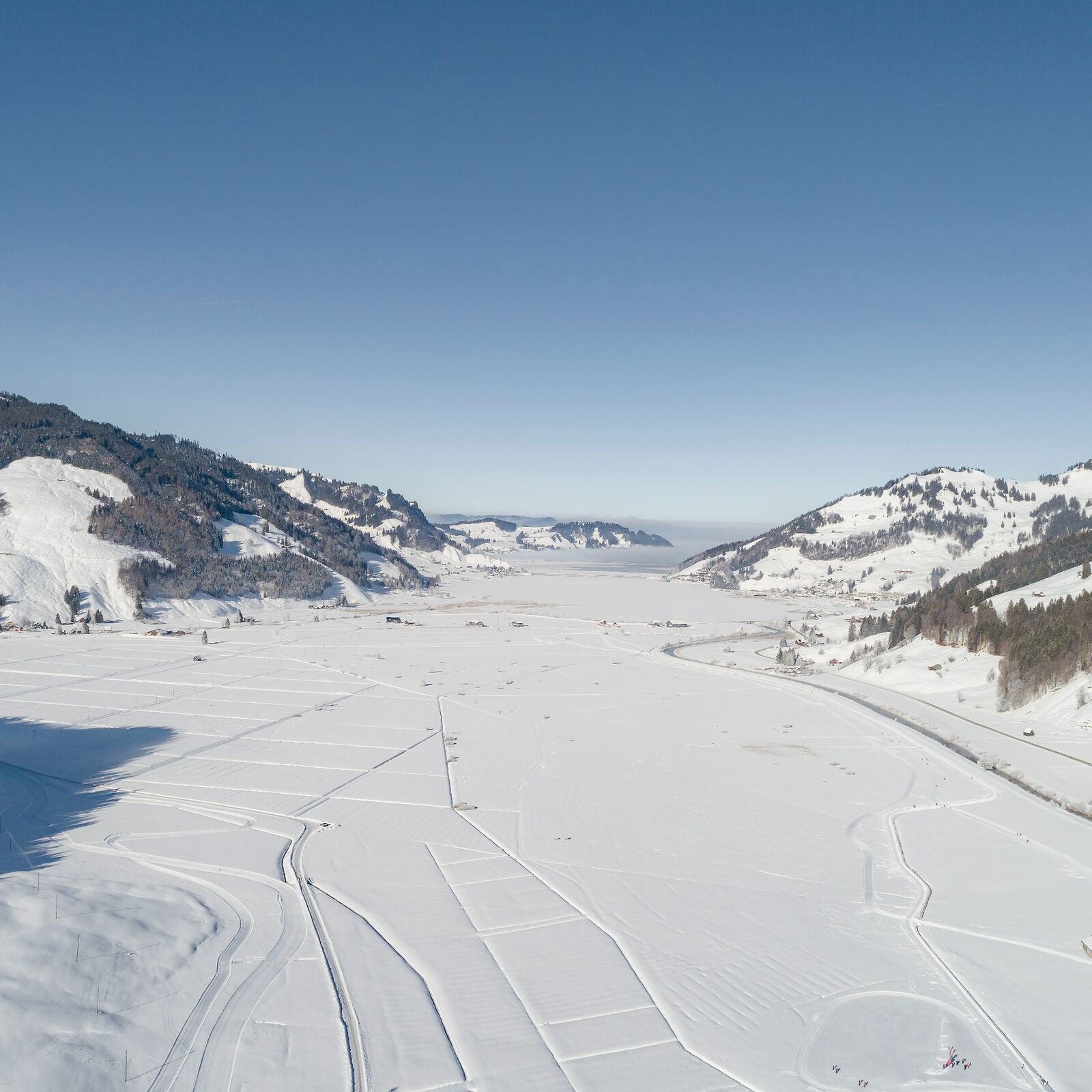
Weitläufige Winterwanderung inmitten der Sihltaler und Ybriger Bergwelt.
- Vaikeus
-
tapa
- Arviointi
-
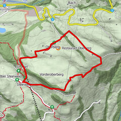
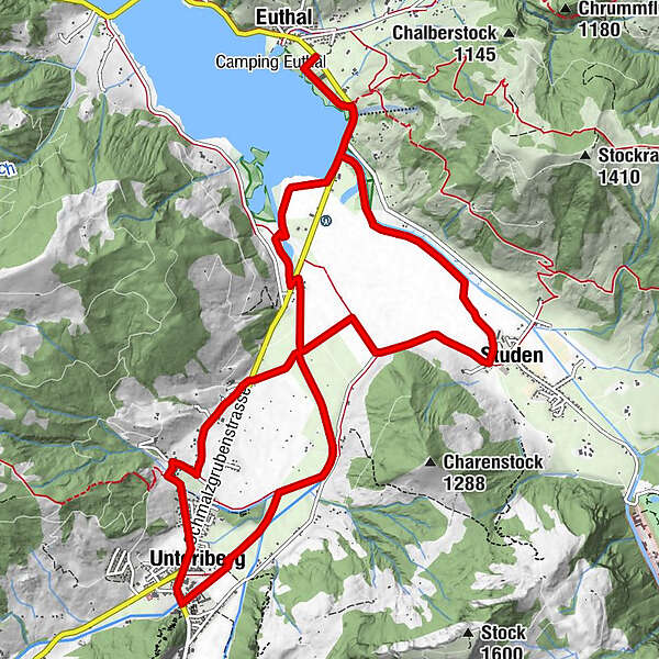
- Reitti
-
Viertelskirche zur schmerzhaften MuttergottesEuthalKapelle St. Ottilien4,1 kmUnteriberg5,8 kmStuden10,7 kmFriedhofkapelle10,7 kmViertelskirche zur schmerzhaften Muttergottes13,7 kmEuthal14,0 km
- Paras kausi
-
elosyyslokamarrasjoulutammihelmimaalishuhtitoukokesäheinä
- Korkein kohta
- 957 m
- Kohde
-
Euthal
- Korkeusprofiili
-
 © outdooractive.com


- Kirjoittaja
-
Kiertue Schützenried-Rundweg (Schweiz Mobil Route 560) käyttää outdooractive.com toimitettu.
GPS Downloads


Yleistä tietoa
Virvokepysäkki
Lisää retkiä alueilla
-
Schwyz
113
-
Einsiedeln-Ybrig-Zürichsee
42
-
Unteriberg
32