


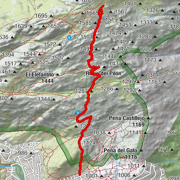
Retkitiedot
8,26km
991
- 1.592m
612hm
596hm
03:39h
- Lyhyt kuvaus
-
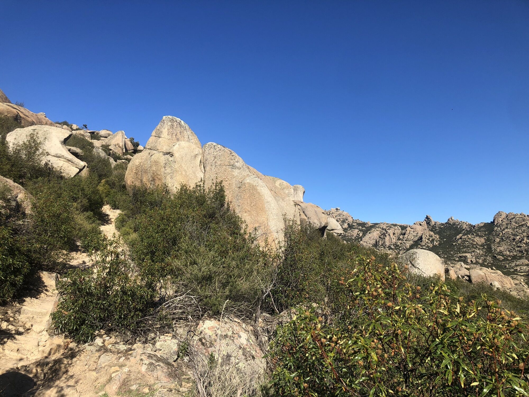
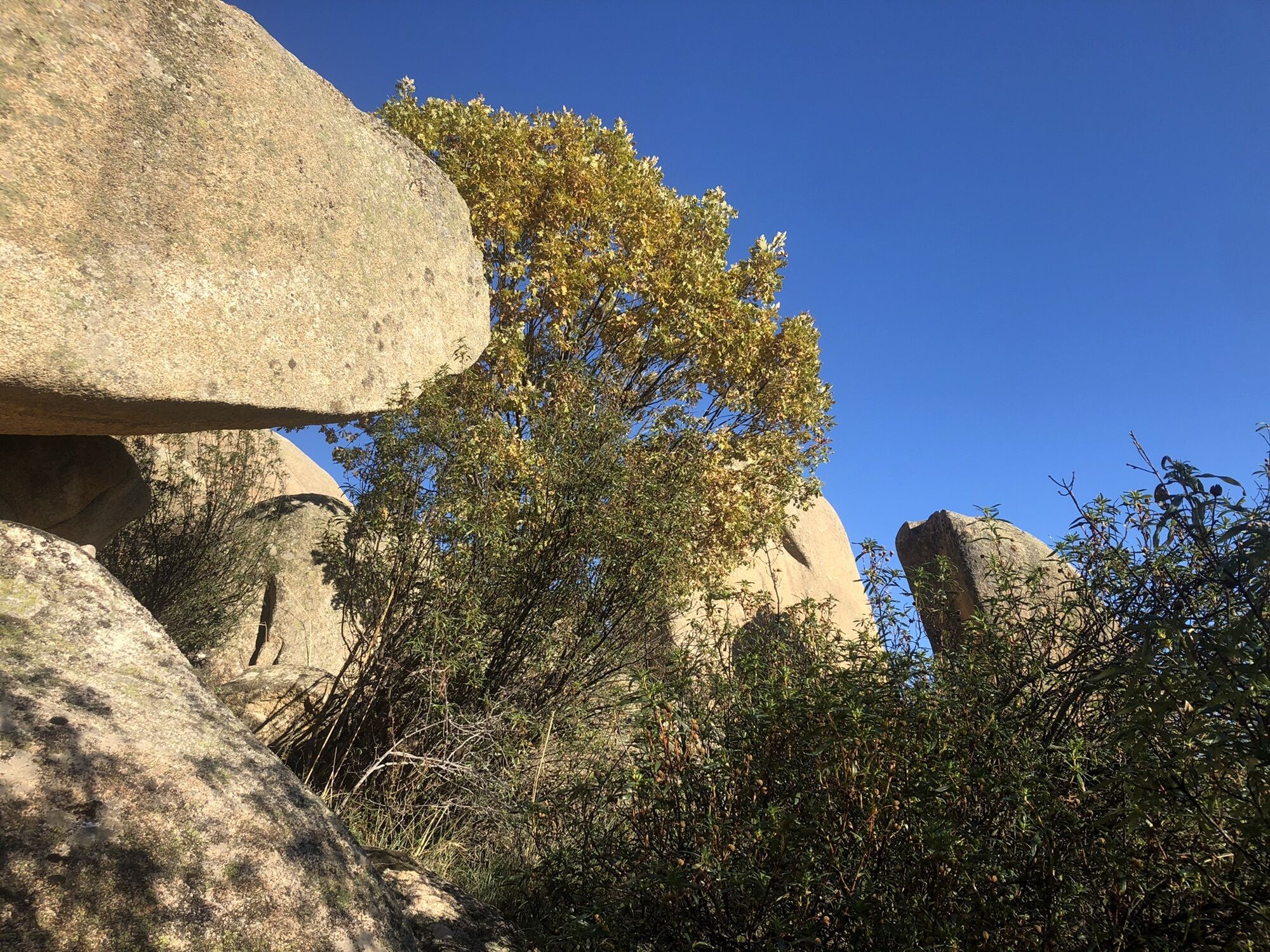
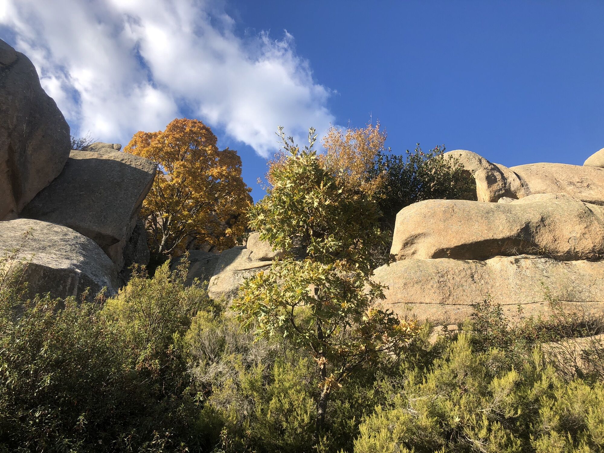
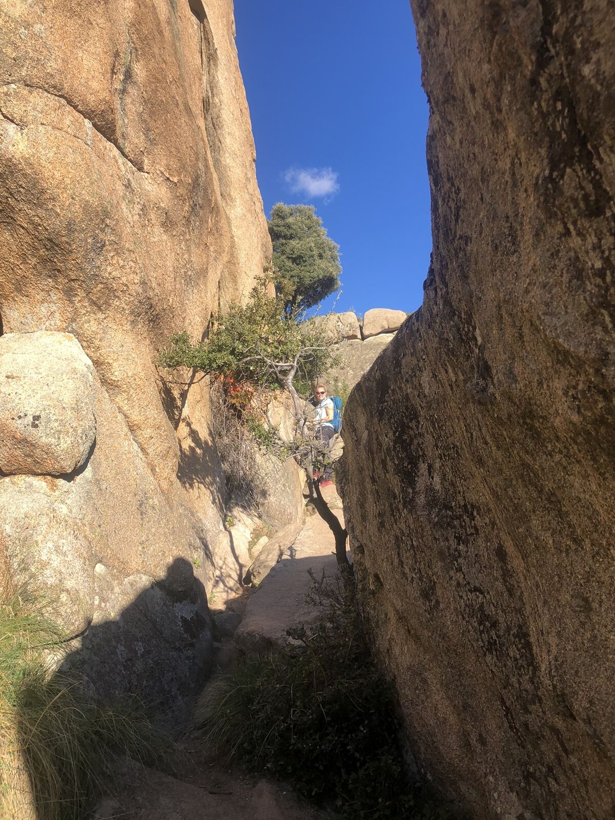
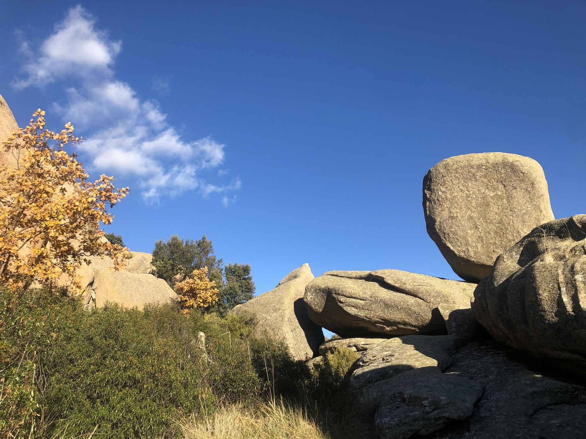
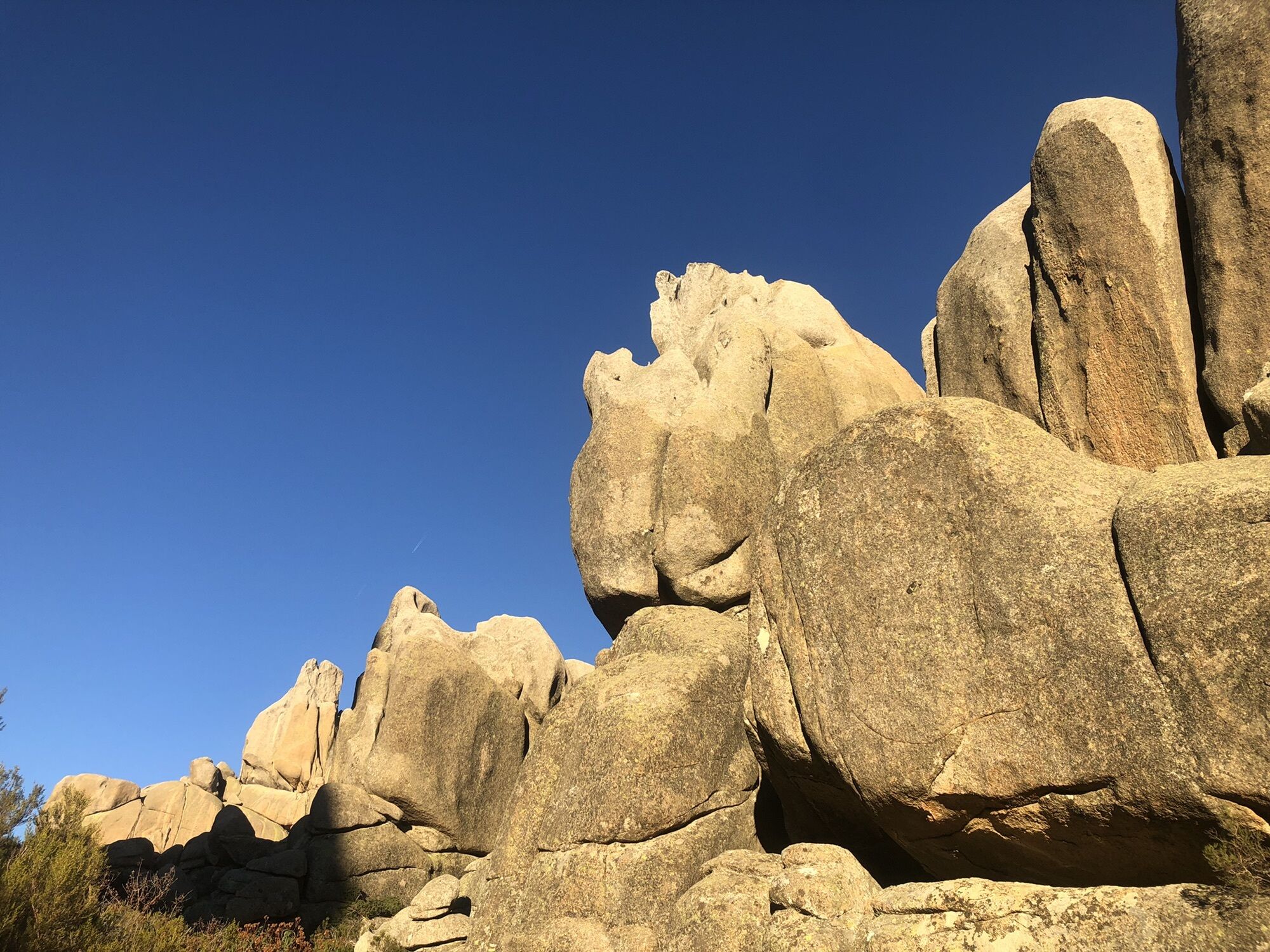
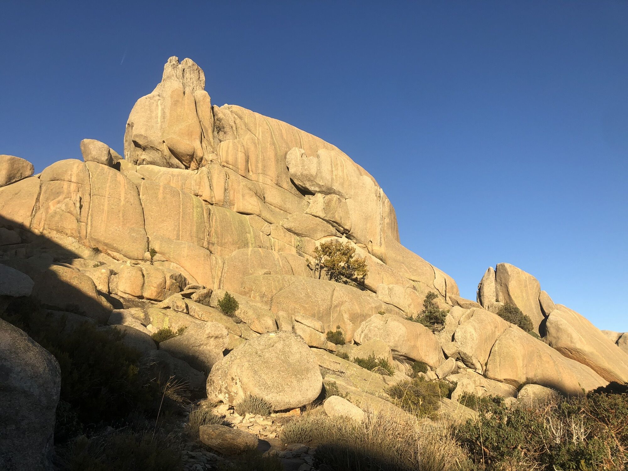
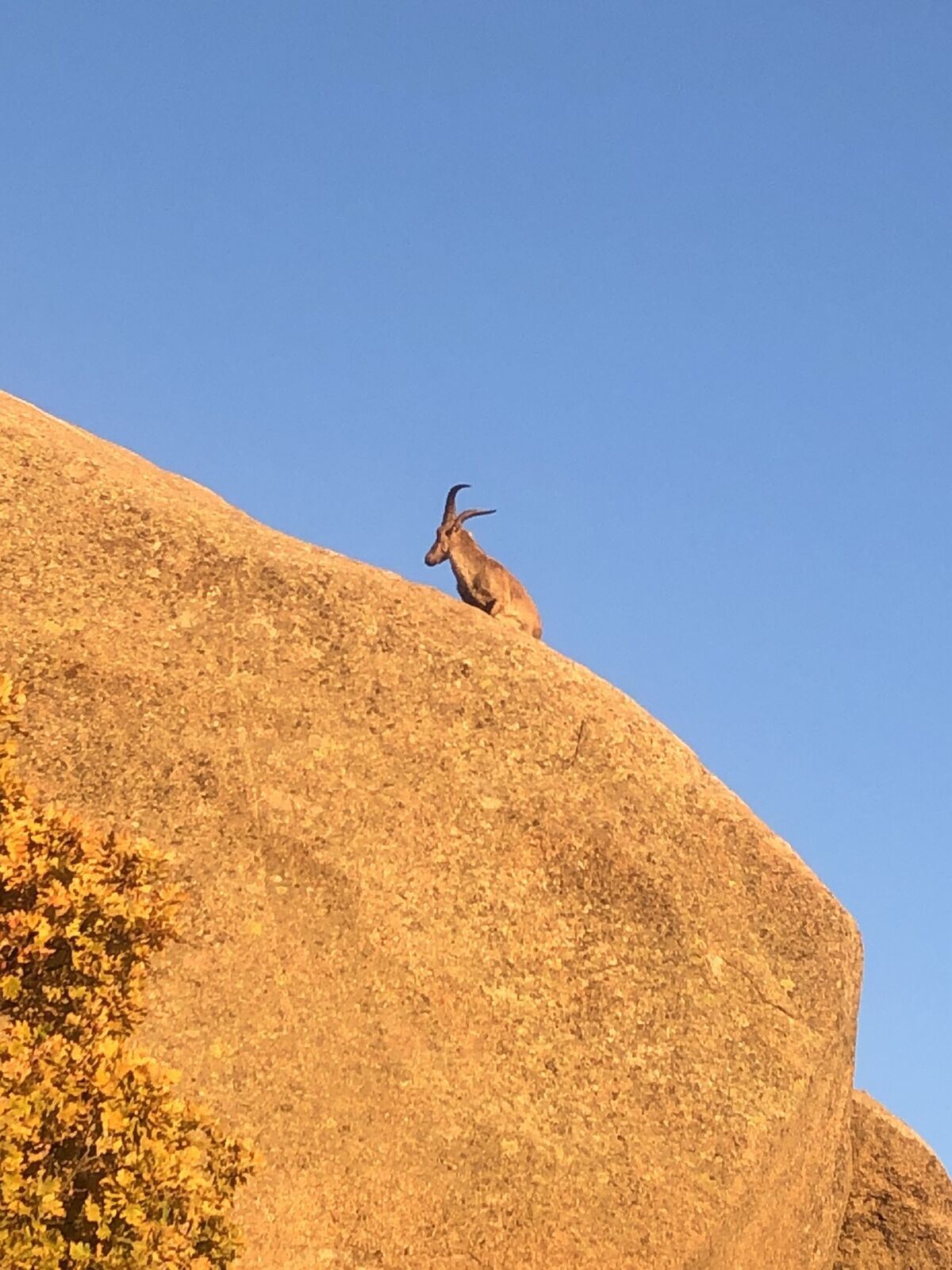
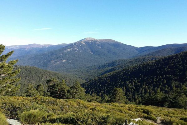
Follow the yellow/white waymarks uphill. Most beautiful rocks and scenery!
- Vaikeus
-
tapa
- Arviointi
-
- Reitti
-
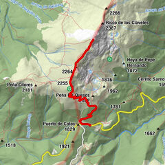
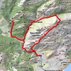
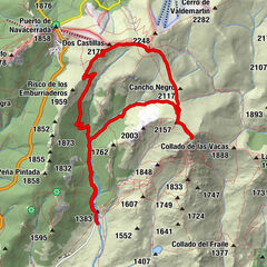
El Alcornocal0,2 kmChorrera de Vialán (1.378 m)2,5 kmChorrera de Vialán (1.378 m)5,9 kmEl Alcornocal8,0 km
- Korkein kohta
- 1.592 m