© Moritz Kertzscher

© VMO/Moritz Kertzscher - Moritz Kertzscher

- Lyhyt kuvaus
-
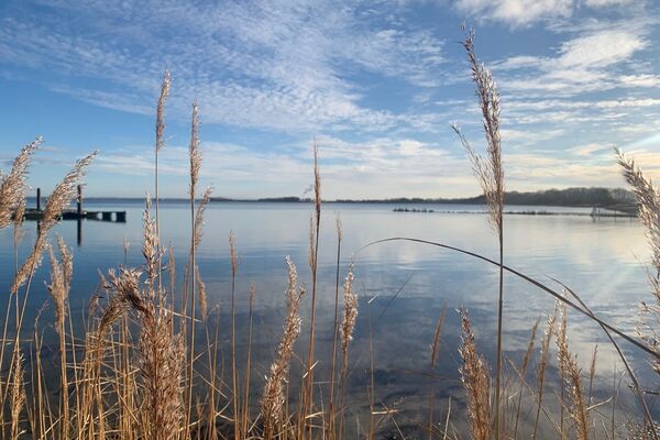
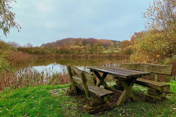
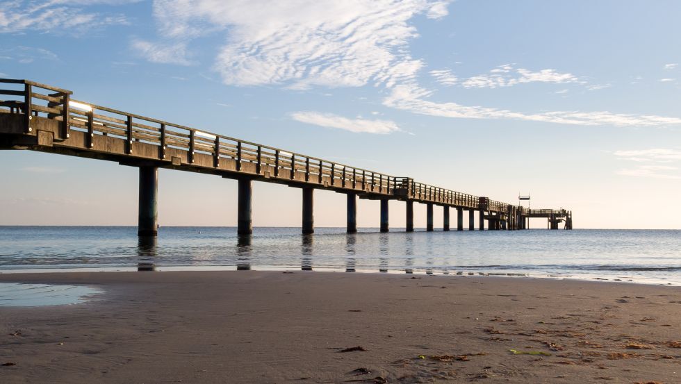
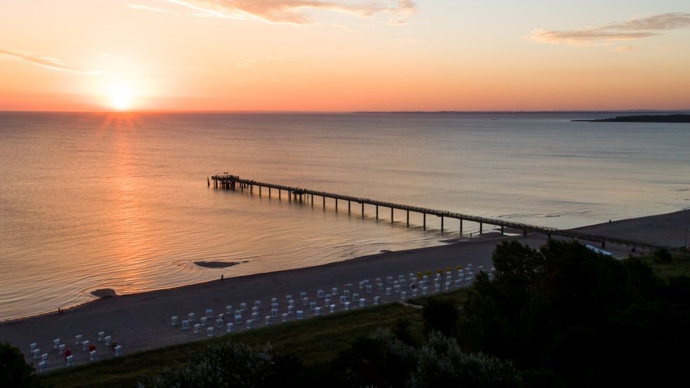
Via small farming villages you drive along the Baltic Sea, where you can take several breaks while also going for a swim.
- Vaikeus
-
helppo
- Arviointi
-
- Reitti
-
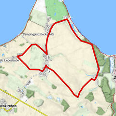
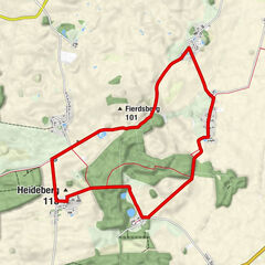
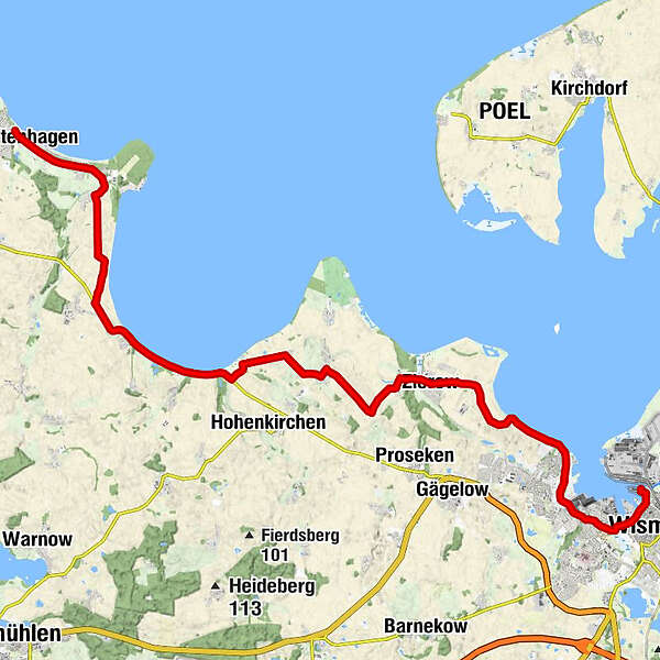
Wismar (13 m)1,1 kmWismar West2,5 kmLembkenhof3,0 kmSeeblick4,9 kmHoben6,8 kmFliemstorf8,6 kmZierow9,6 kmEggerstorf10,9 kmBeckerwitz13,0 kmZur Ostsee13,6 kmBeckerwitz Ausbau15,1 kmButtjes18,3 kmWohlenberg20,4 kmTarnewitz Kamp22,4 kmTarnewitz24,7 kmBoltenhagen27,8 kmKirche zur Paulshöhe28,2 km
- Paras kausi
-
tammihelmimaalishuhtitoukokesäheinäelosyyslokamarrasjoulu
- Korkein kohta
- 28 m
- Kohde
-
Ostseeallee 4 in 23946 Boltenhagen
- Korkeusprofiili
-
 © outdooractive.com
- Kirjoittaja
-
Kiertue Along the Bay of Wismar and the Wohlenberger Wiek käyttää outdooractive.com toimitettu.
GPS Downloads


Yleistä tietoa
Kulttuuri/Historiallinen
Lisää retkiä alueilla