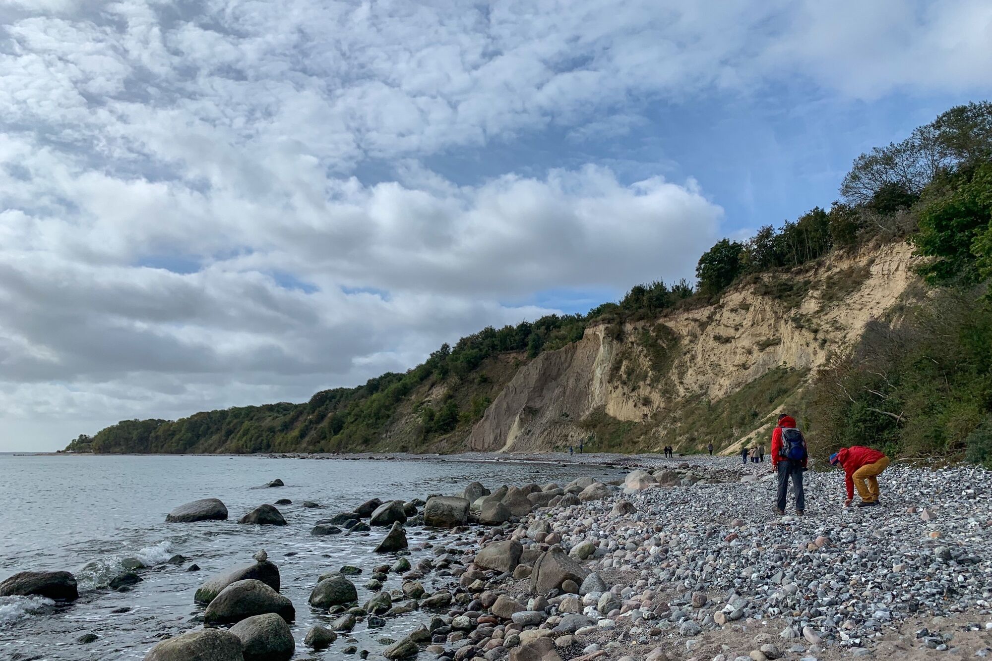
© Ralph Herzig

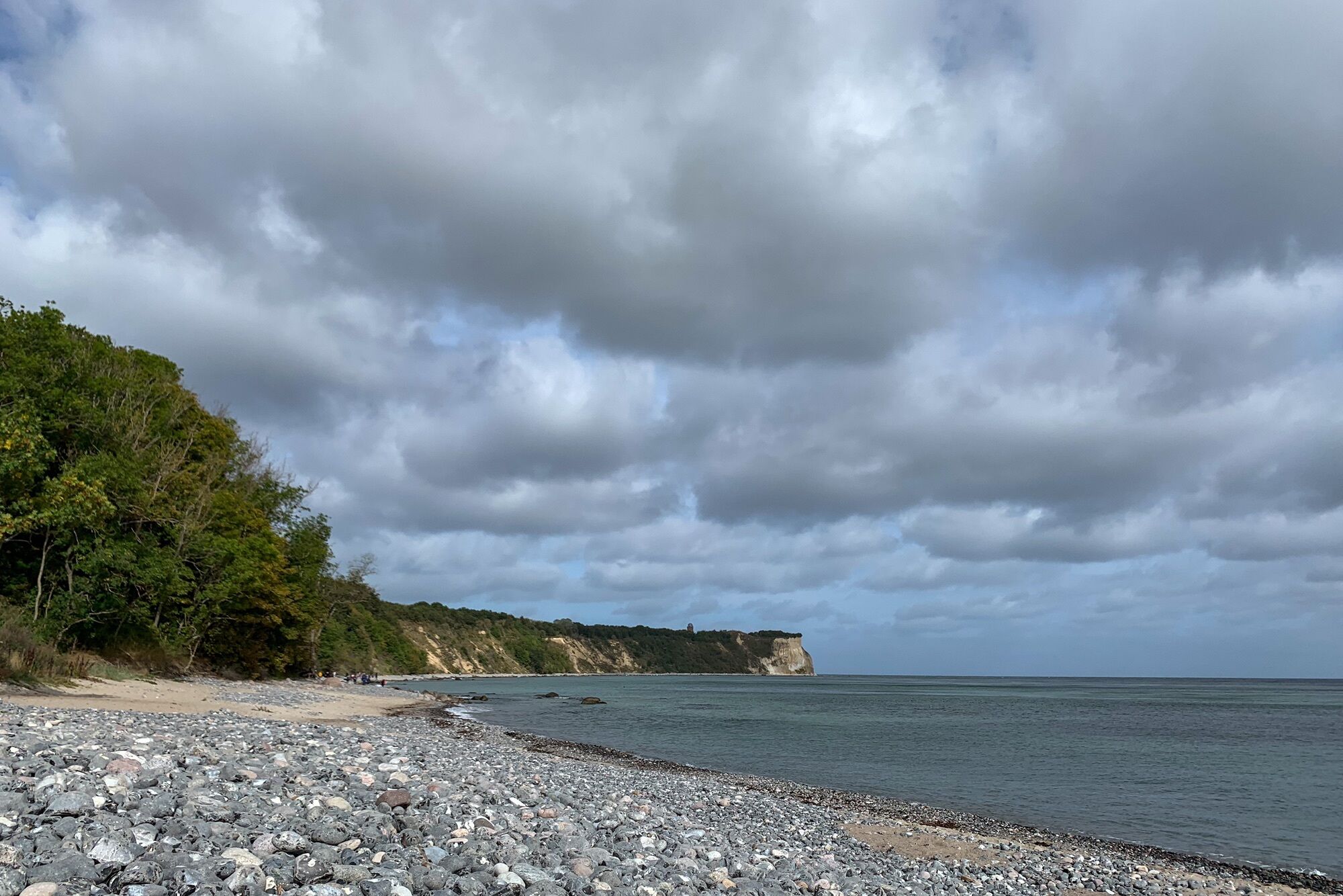
© Ralph Herzig

© Ralph Herzig

© Ralph Herzig

Retkitiedot
7,69km
- 45m
99hm
102hm
02:15h
- Lyhyt kuvaus
-
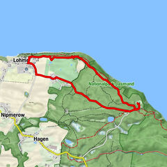
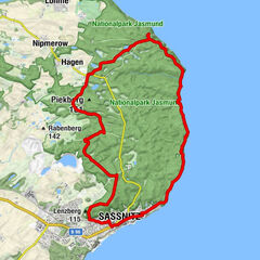
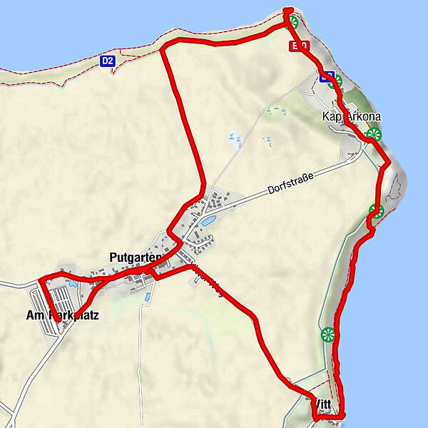
Rundwanderung Putgarten - Kap Argon - Vitt
- Vaikeus
-
helppo
- Arviointi
-
- Lähtöpiste
-
Parkplatz Putgarten
- Reitti
-
Am ParkplatzUtspann0,2 kmPutgarten0,4 kmGellort2,6 kmKap Arkona3,4 kmZum Goldenen Anker5,3 kmVitt5,3 kmUferkapelle Vitt5,5 kmPutgarten6,8 kmUtspann6,9 kmAm Parkplatz7,6 km
- Paras kausi
-
tammihelmimaalishuhtitoukokesäheinäelosyyslokamarrasjoulu
- Korkein kohta
- Kap Arkona (45 m)
- Kohde
-
Parkplatz Putgarten
- Lepo/Retriitti
-
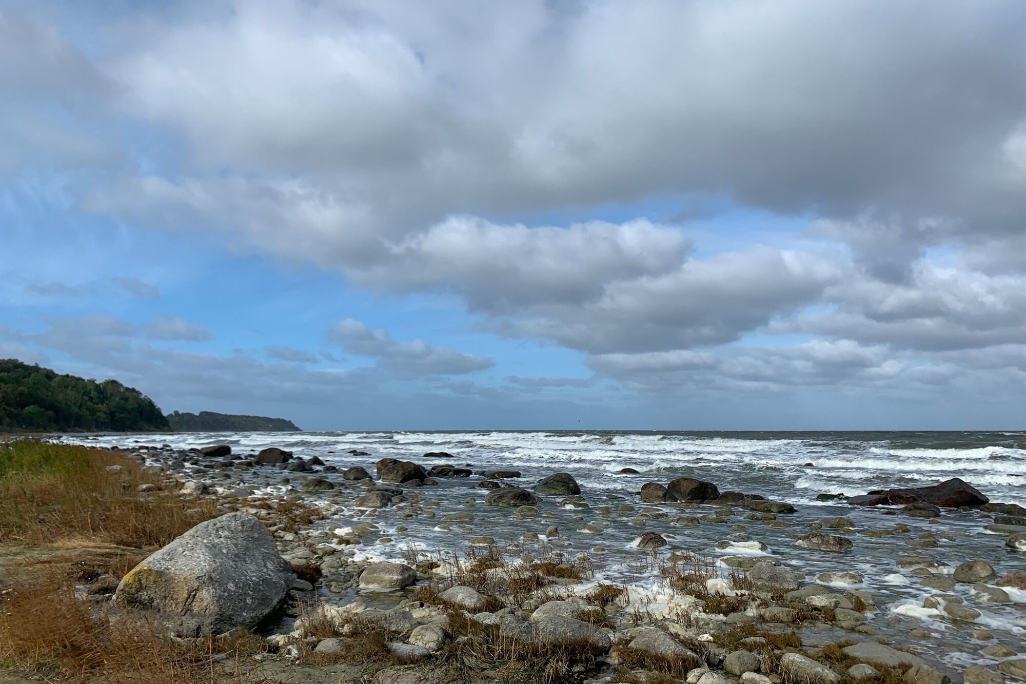
in Vitt am Strand Imbiss und Räucherfisch, in Putgarten Fischbrötchenstand und Gaststätten


- Lähde
- Ralph Herzig
GPS Downloads
Polun olosuhteet
Asfaltti
Sora
Niitty
Metsä
Kallio
Altistettu
Lisää retkiä alueilla
-
Rügen
92
-
Halbinsel Jasmund
70
-
Glowe
22