Retkitiedot
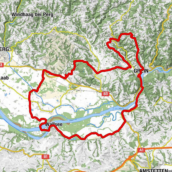
62,02km
226
- 534m
867hm
871hm
03:02h
- Lyhyt kuvaus
-
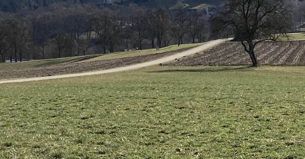
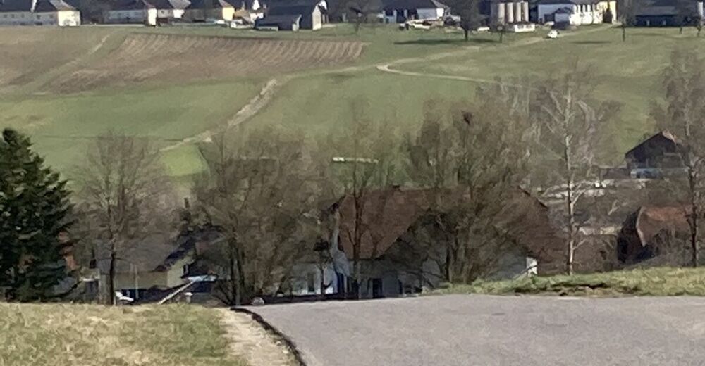
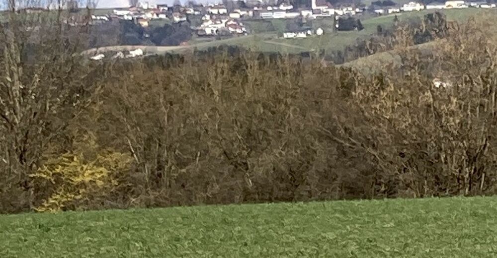
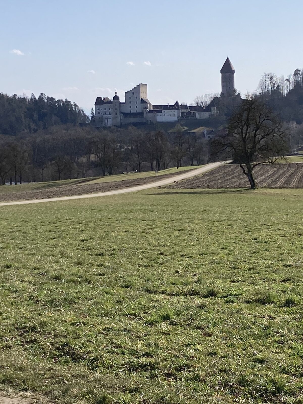
Abstecher in das südliche Mühlviertel
- Vaikeus
-
tapa
- Arviointi
-
- Reitti
-
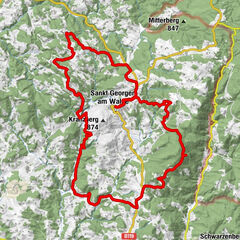
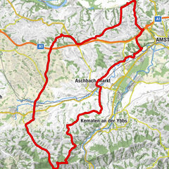
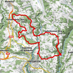
Empfing0,2 kmBarbarasiedlung1,0 kmAltbach2,5 kmArdagger Markt3,2 kmGasthaus Stöger3,3 kmGasthof Raderbauer-Mimmler4,0 kmSteckerlfisch5,9 kmGasthaus Zur Donaubrücke, Fam. Froschauer8,1 kmUfer9,6 kmGrein10,8 kmStadtpfarrkirche11,2 kmGrein Stadt11,5 kmFriedhofskapelle11,9 kmLehen13,4 kmHahnwirt13,7 kmBad Kreuzen20,3 kmWürzenberg24,8 kmLettental26,5 kmUnterhörnbach28,7 kmOberhörnbach29,5 kmKlam30,0 kmLinden31,9 kmHehenberg34,5 kmKolbing36,1 kmDeiming37,8 kmPuchberg im Machland38,6 kmWirt in Puchberg39,0 kmFrühstorf39,3 kmRast39,6 kmArbing40,4 kmInkoba41,5 kmIn der Haid43,8 kmLangacker46,2 kmWeisching Nord46,9 kmWeisching47,5 kmWallsee53,9 kmSommerau56,0 kmParlament58,1 kmLeitzing58,2 kmMoos61,0 kmEmpfing62,0 km
- Korkein kohta
- 534 m
GPS Downloads


Lisää retkiä alueilla
-
Mühlviertel
25
-
Strudengau
15
-
Saxen
6