Retkitiedot
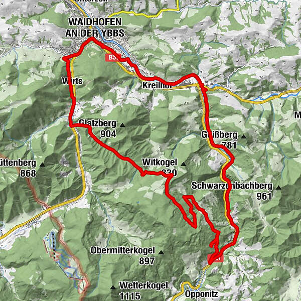
28,7km
350
- 830m
580hm
580hm
02:45h
- Lyhyt kuvaus
-
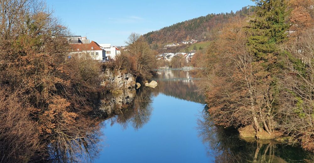
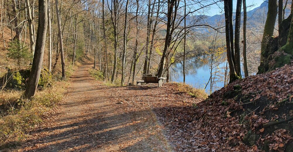
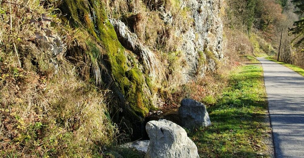
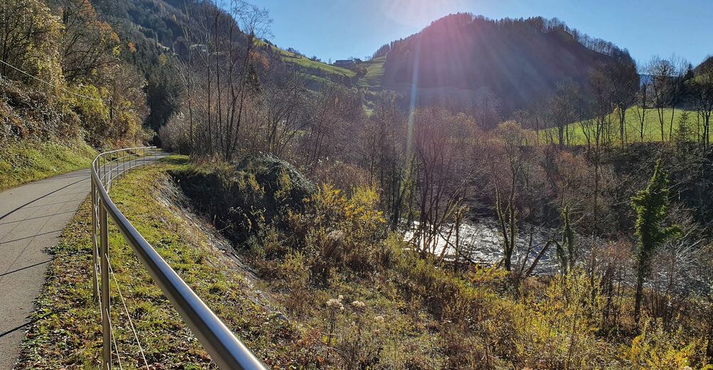
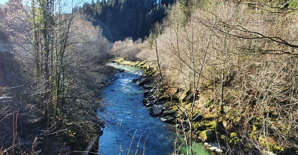
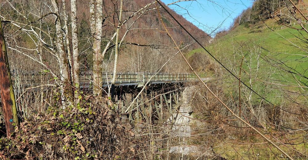
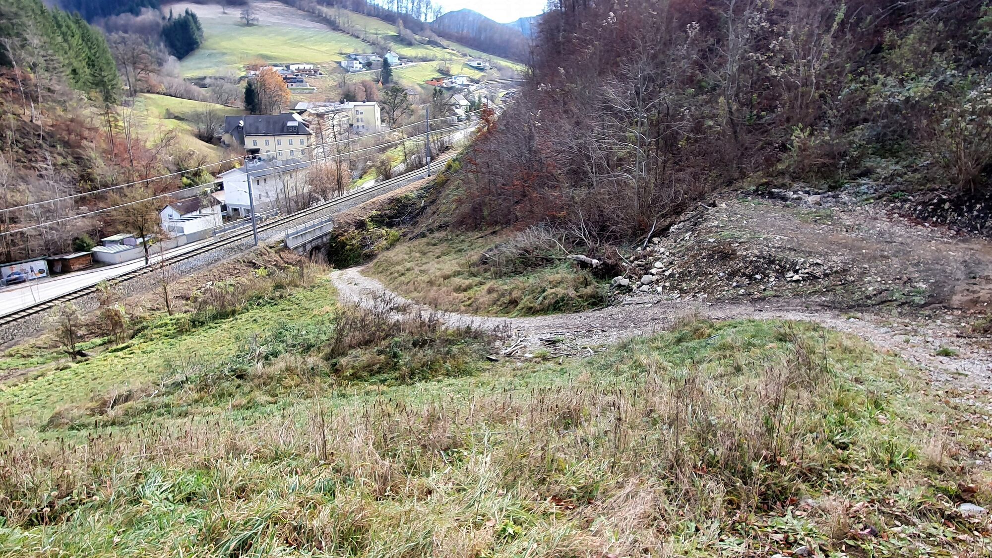
Einfache Tour über Schotterstraßen bei Waidhofen, abgeschlossen mit einem optionalen Single S1.
- Vaikeus
-
tapa
- Arviointi
-
- Lähtöpiste
-
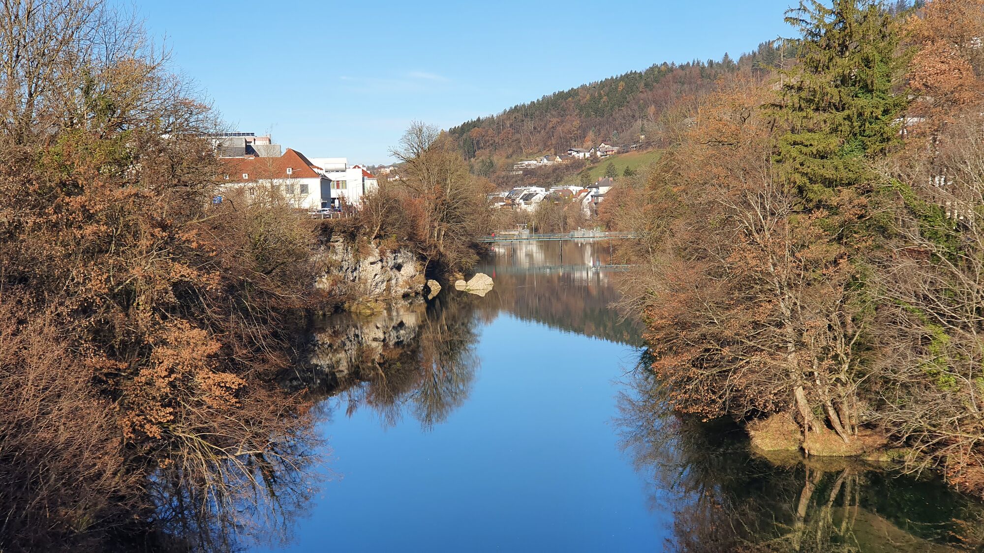
Waidhofen an der Ybbs
- Reitti
-
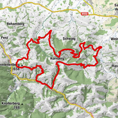
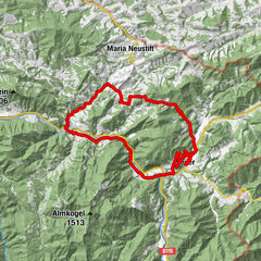
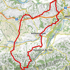
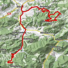
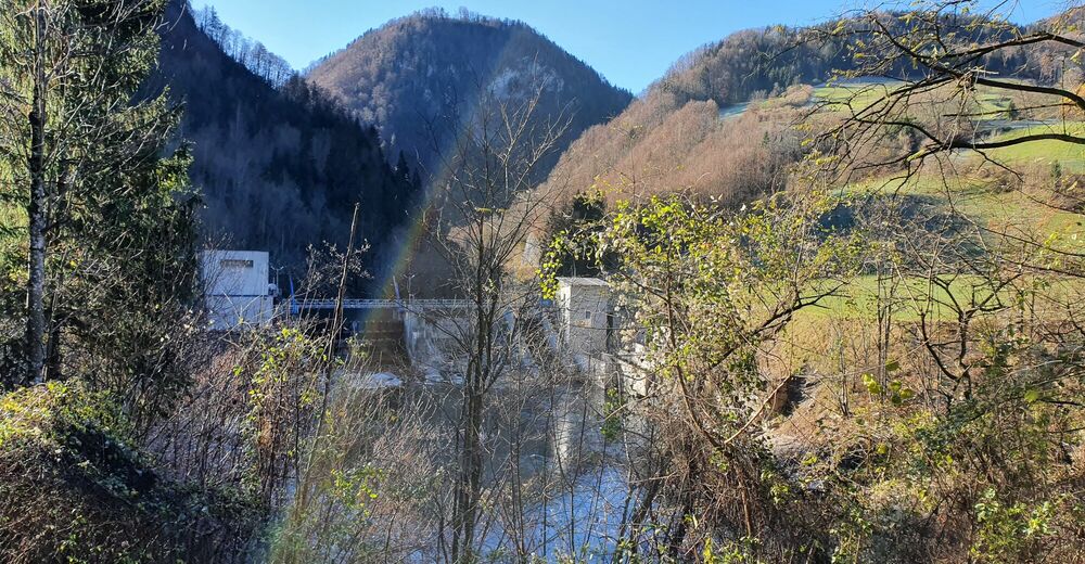
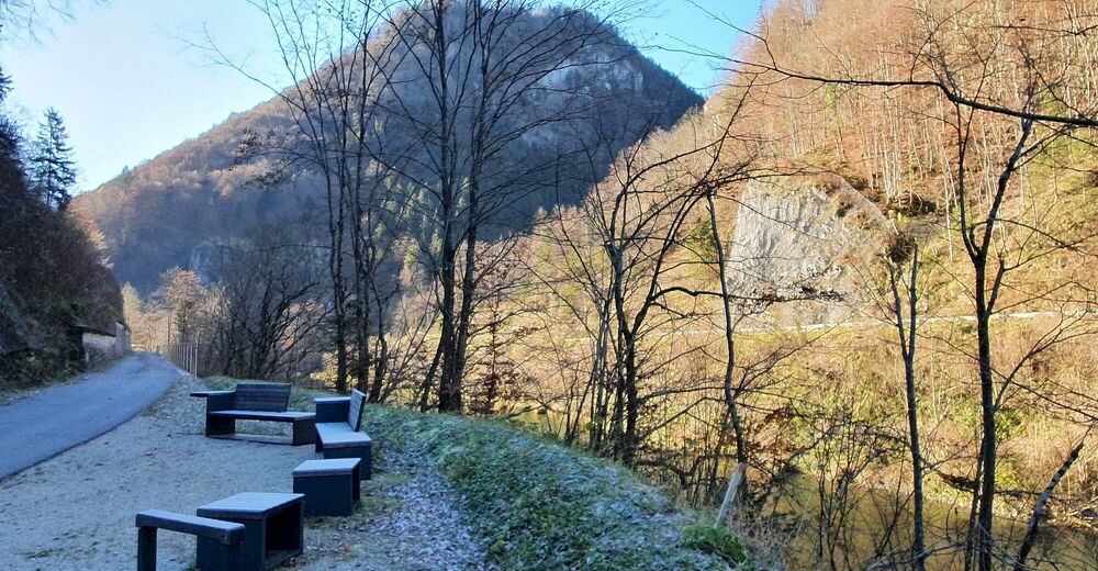
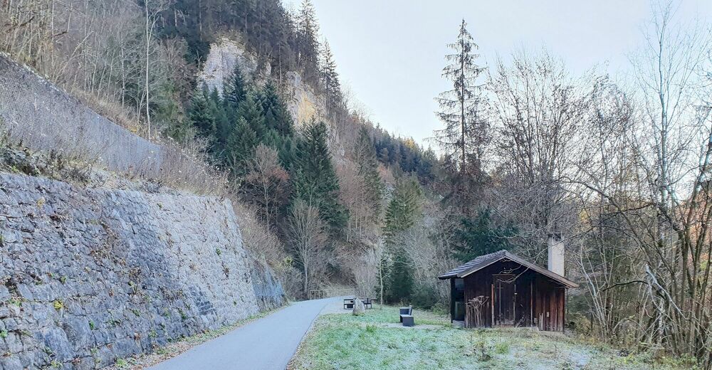
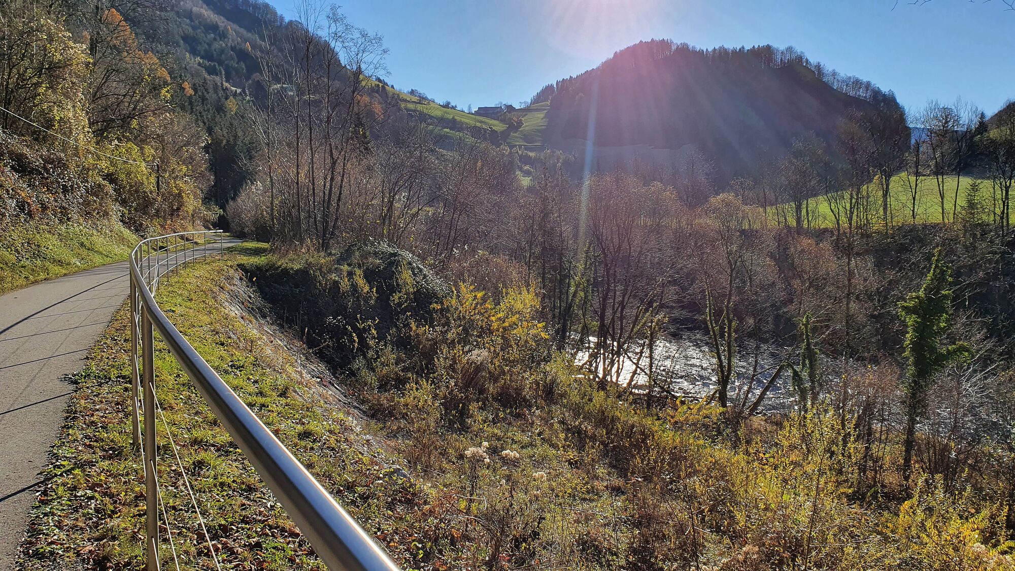
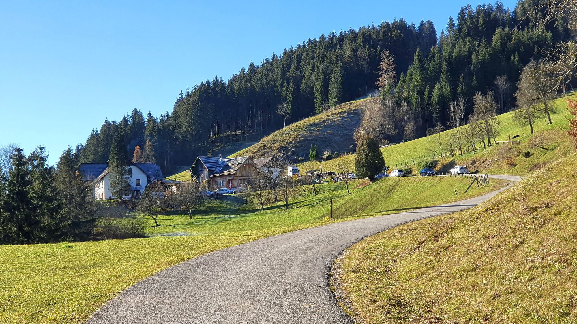
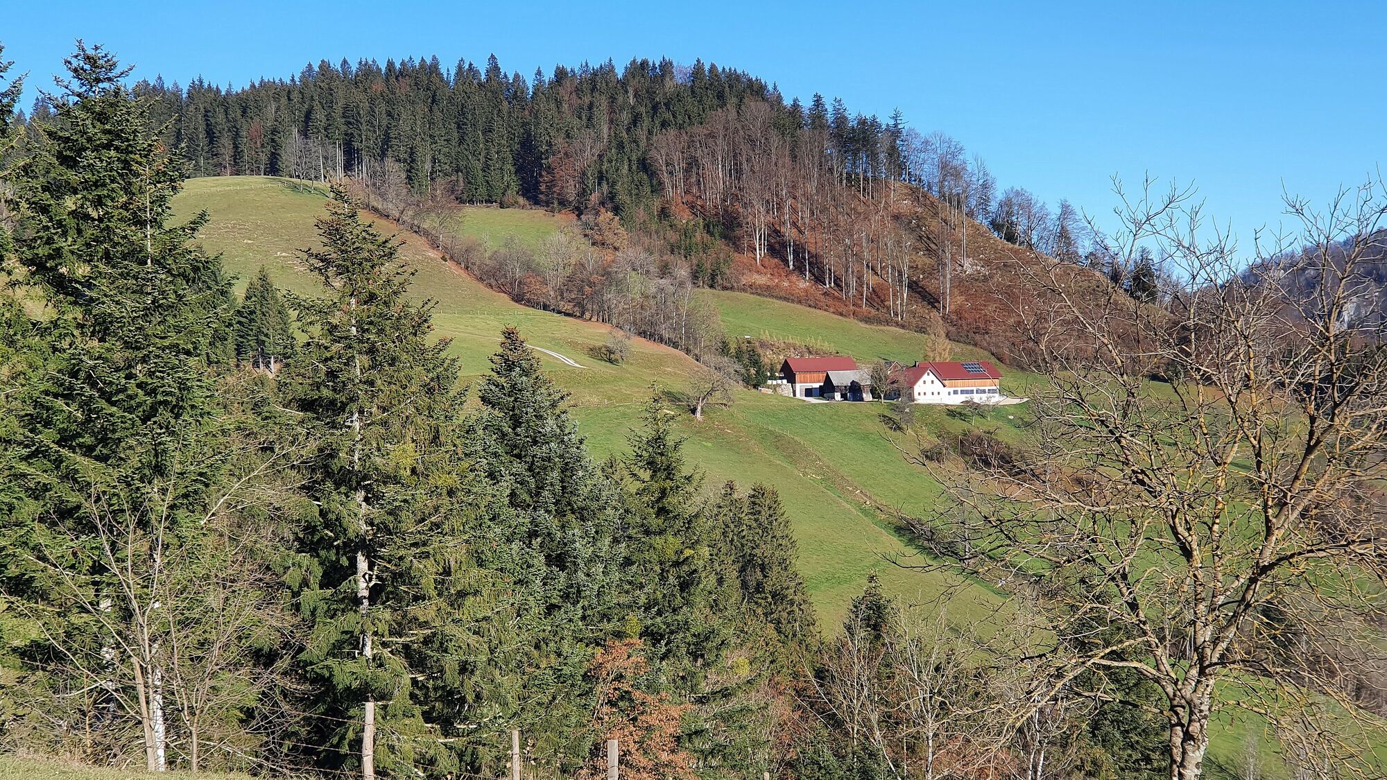
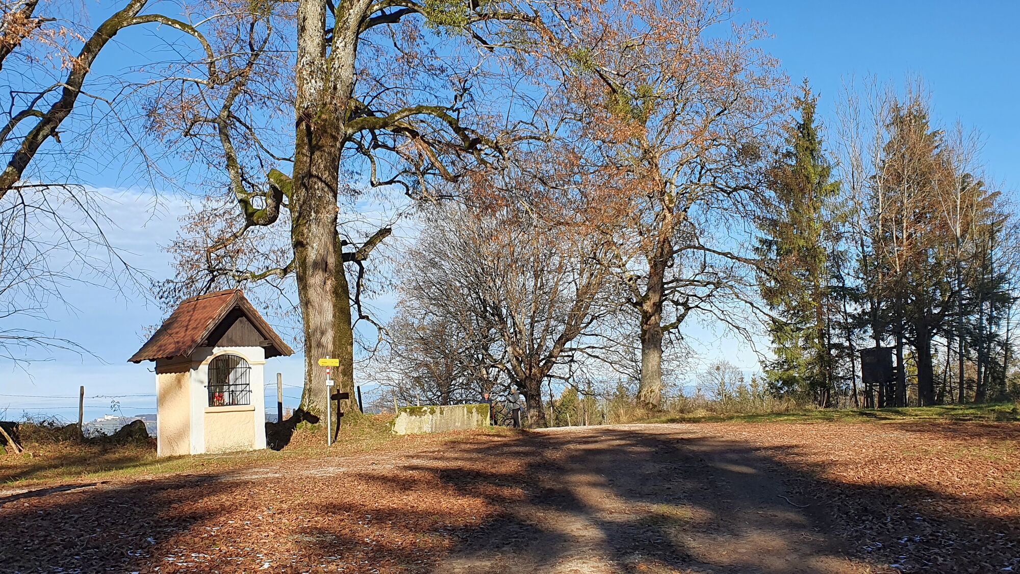
Kreilhof1,6 kmOfenberg13,0 kmOfenberg13,3 kmWirts24,1 kmWasservorstadt26,3 kmBürgerspitalkirche26,5 kmWaidhofen an der Ybbs26,7 kmZell an der Ybbs27,1 kmKapelle hl. Kreuz28,3 km
- Paras kausi
-
tammihelmimaalishuhtitoukokesäheinäelosyyslokamarrasjoulu
- Korkein kohta
- Rabenstadl (830 m)
- Kohde
-
Rabenstadl
- Lepo/Retriitti
-
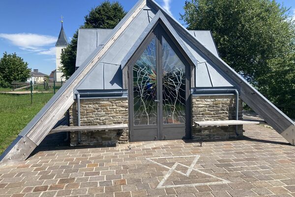
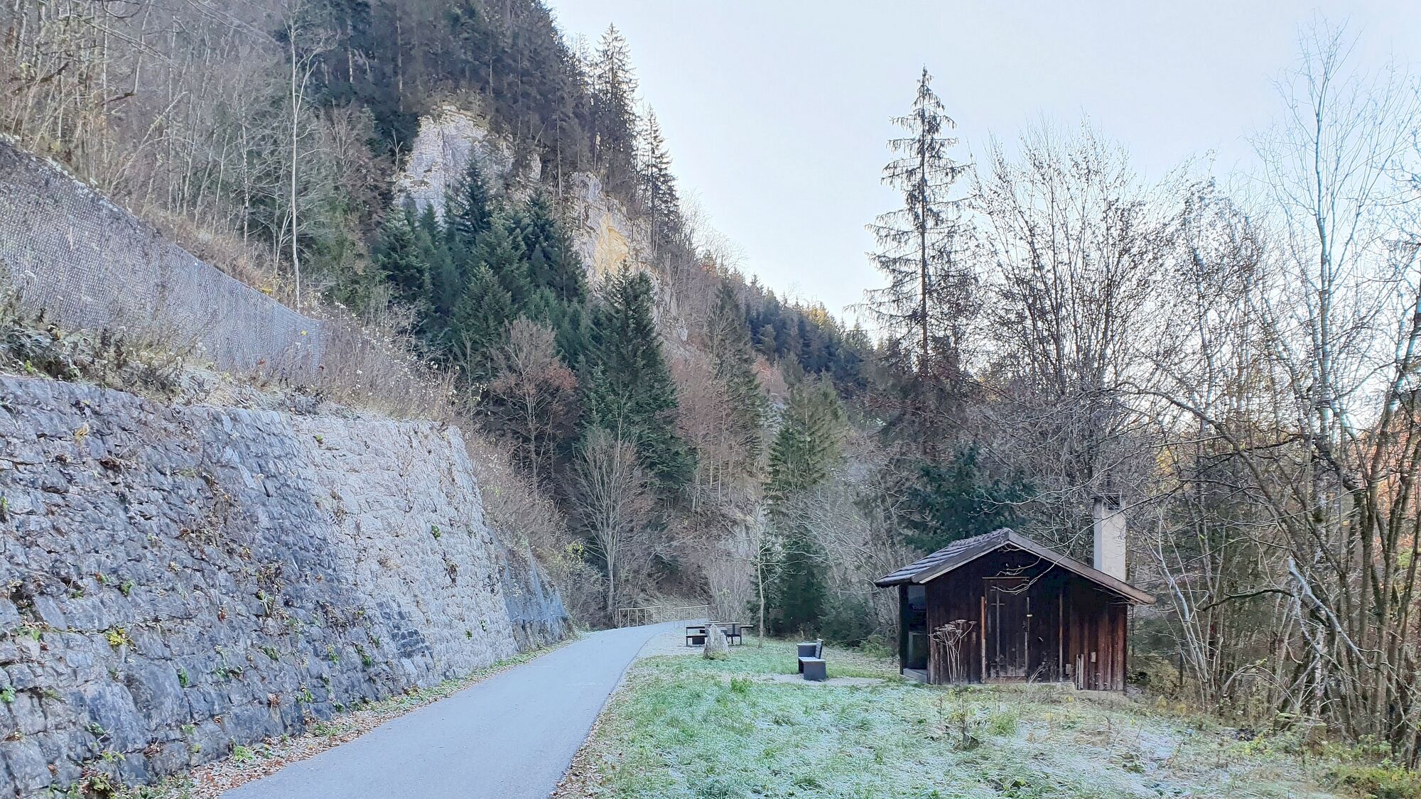
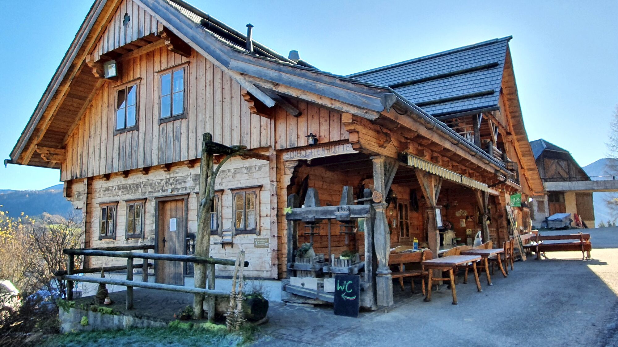
Schluchtenweg-Hütte, Rastplätze am Ybbstalradweg oder beim Holzbauernkreuz
- Videos
-
 19:213 years ago


GPS Downloads


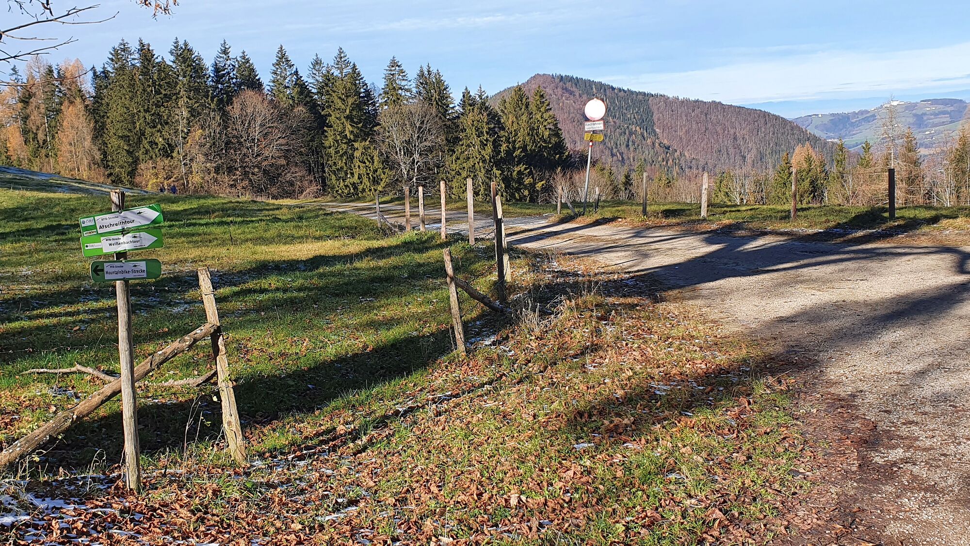
Ajoreitit
Asfaltti
Sora
Metsä
Vuoripolut
Singletrails
(1.6 km)
Trial
Liikenne
Lisää retkiä alueilla