© gert gasperin
© gert gasperin
© gert gasperin

© gert gasperin
© gert gasperin
© gert gasperin
© gert gasperin
© gert gasperin
© gert gasperin
© gert gasperin
Retkitiedot
21,75km
476
- 616m
177hm
205hm
04:45h
- Lyhyt kuvaus
-
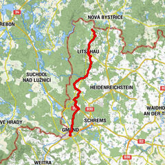
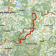
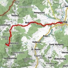
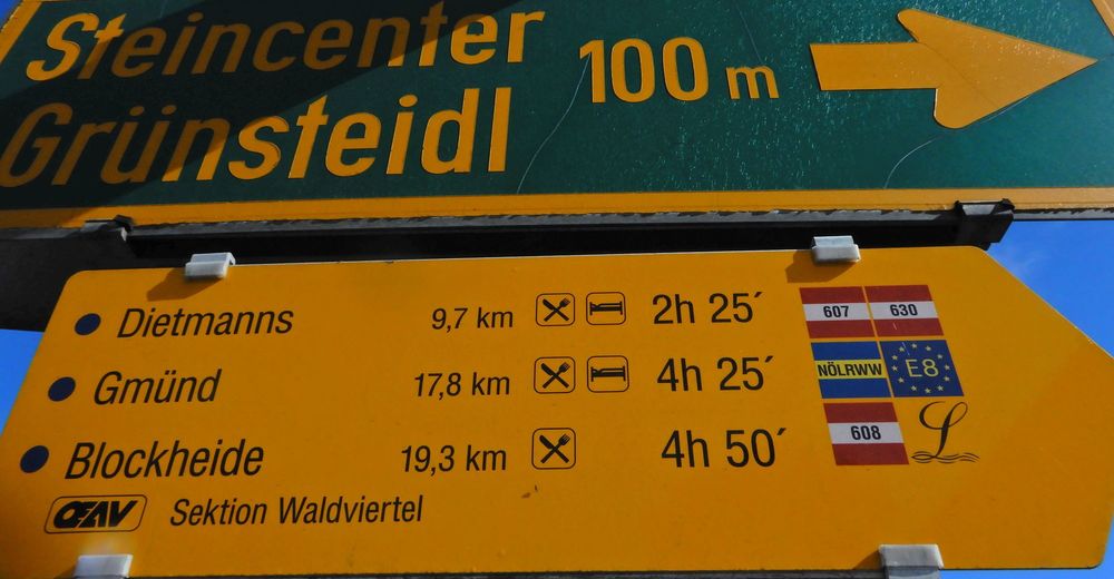
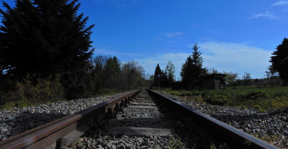
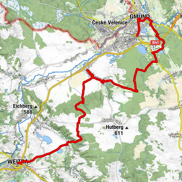
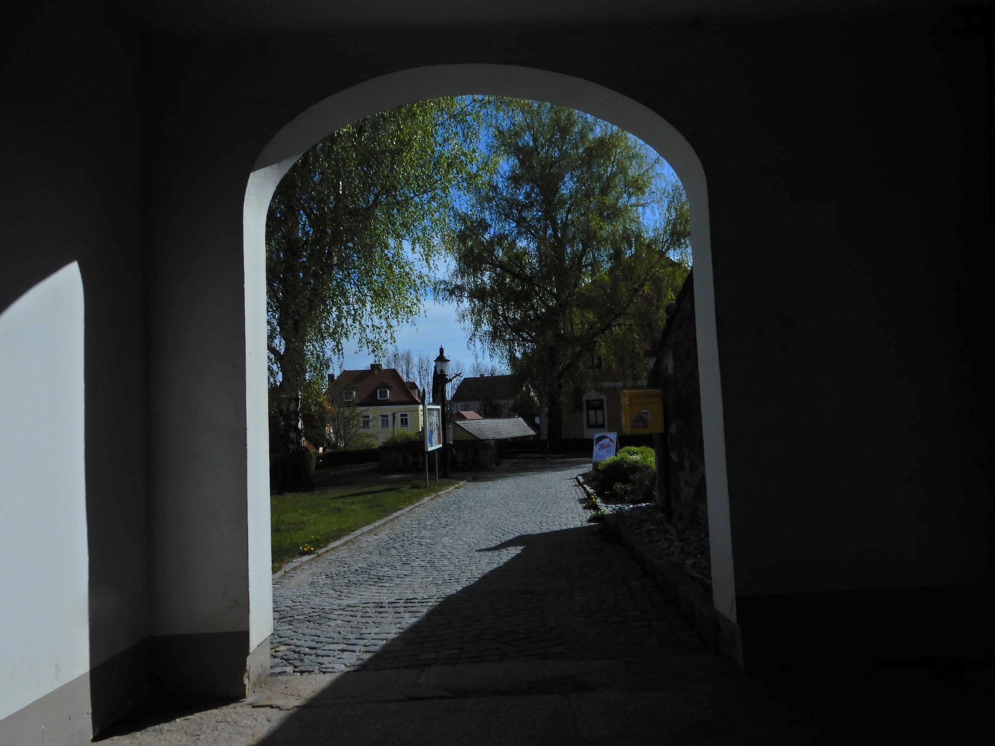
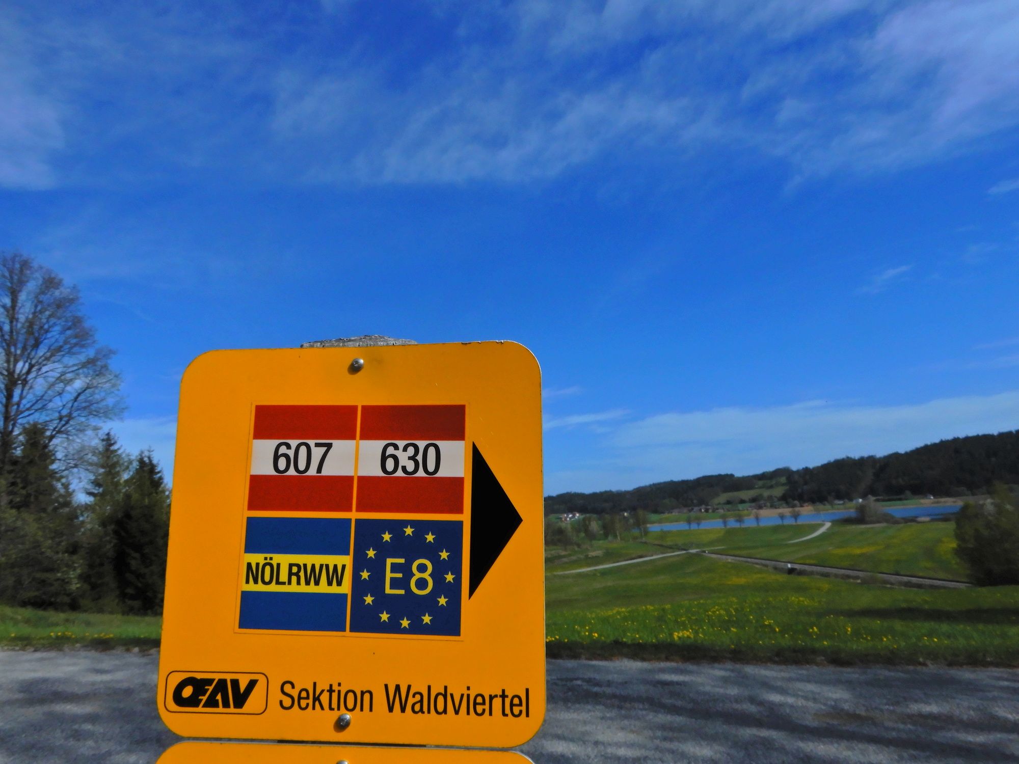
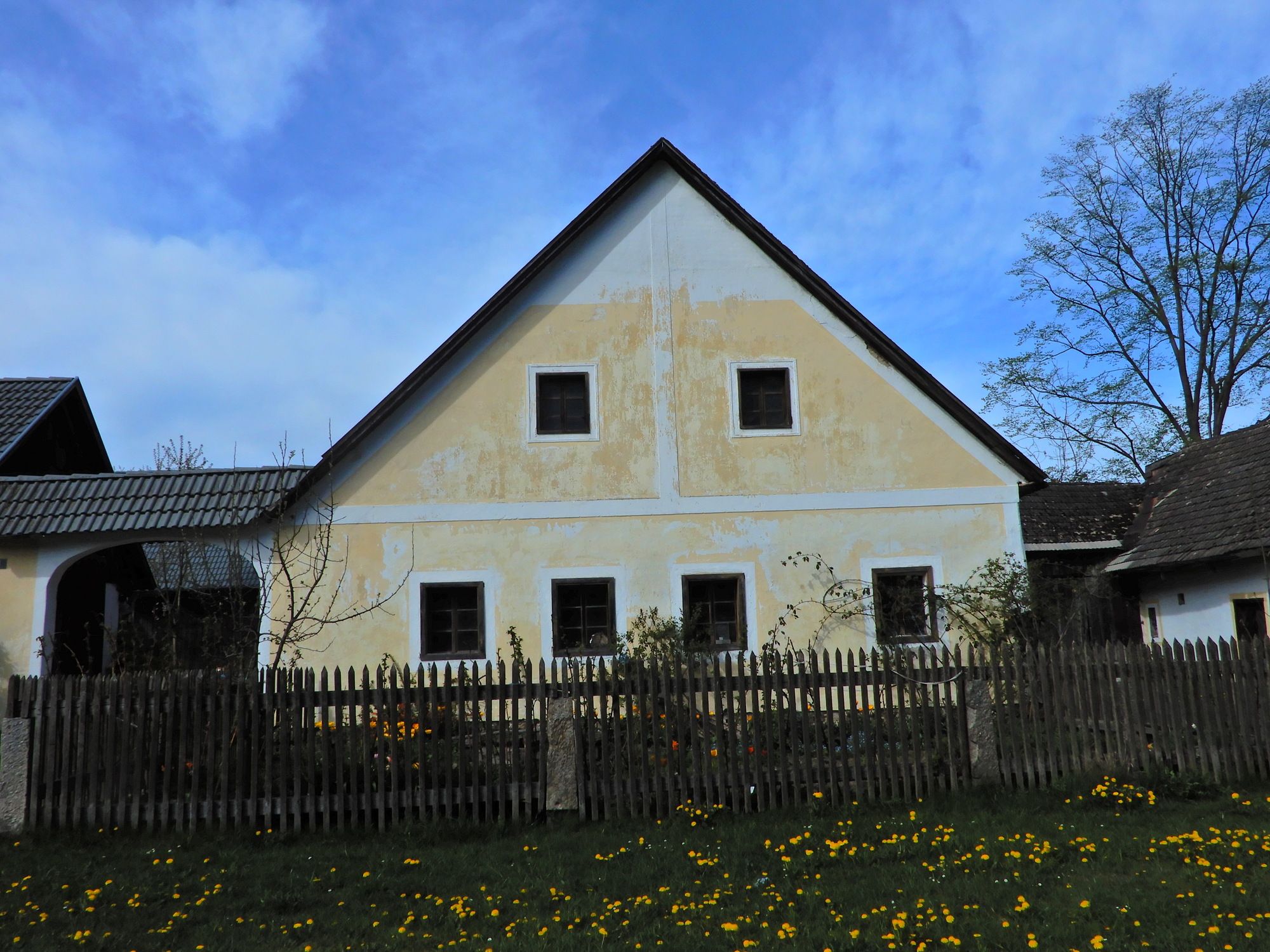
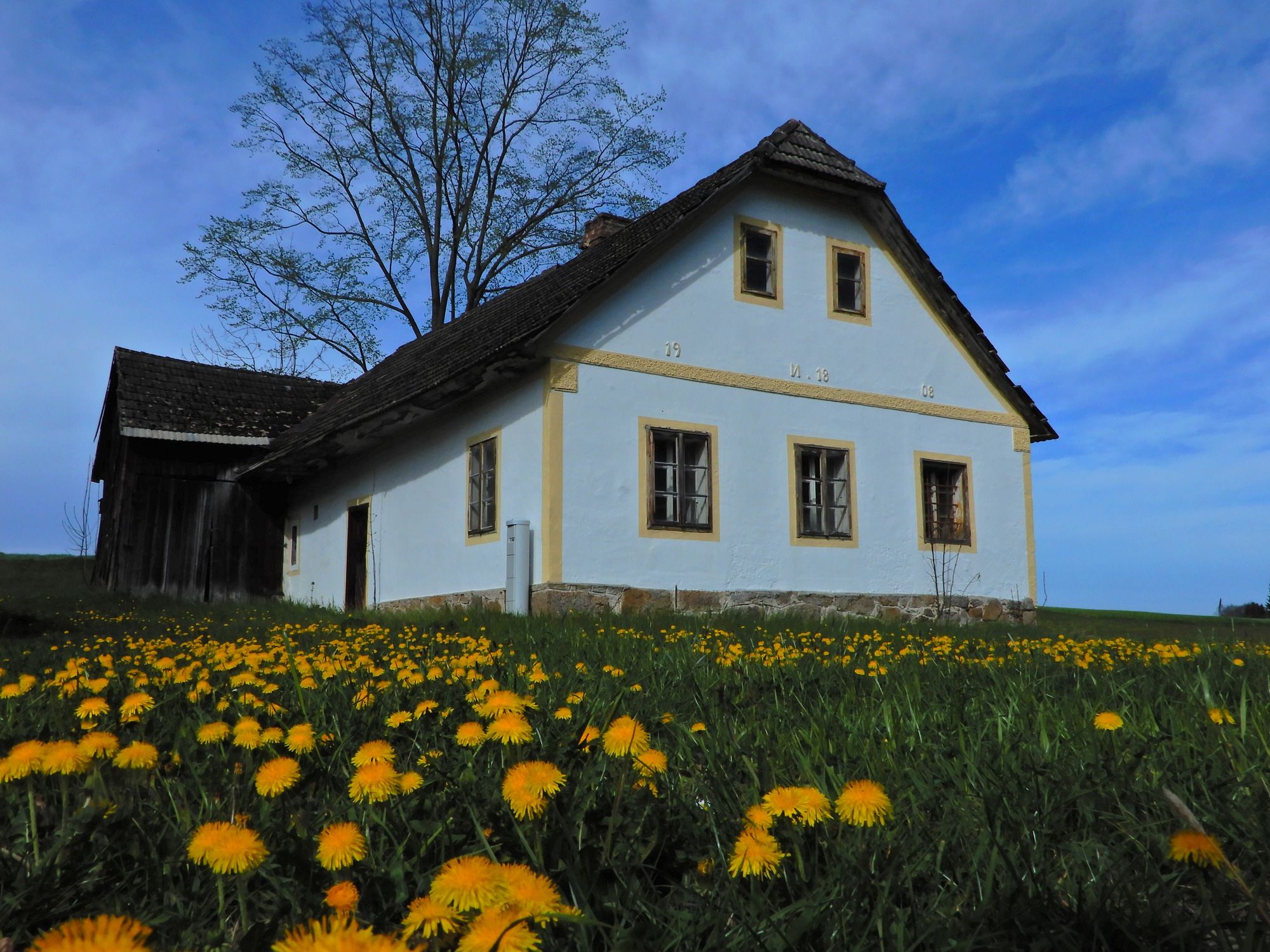
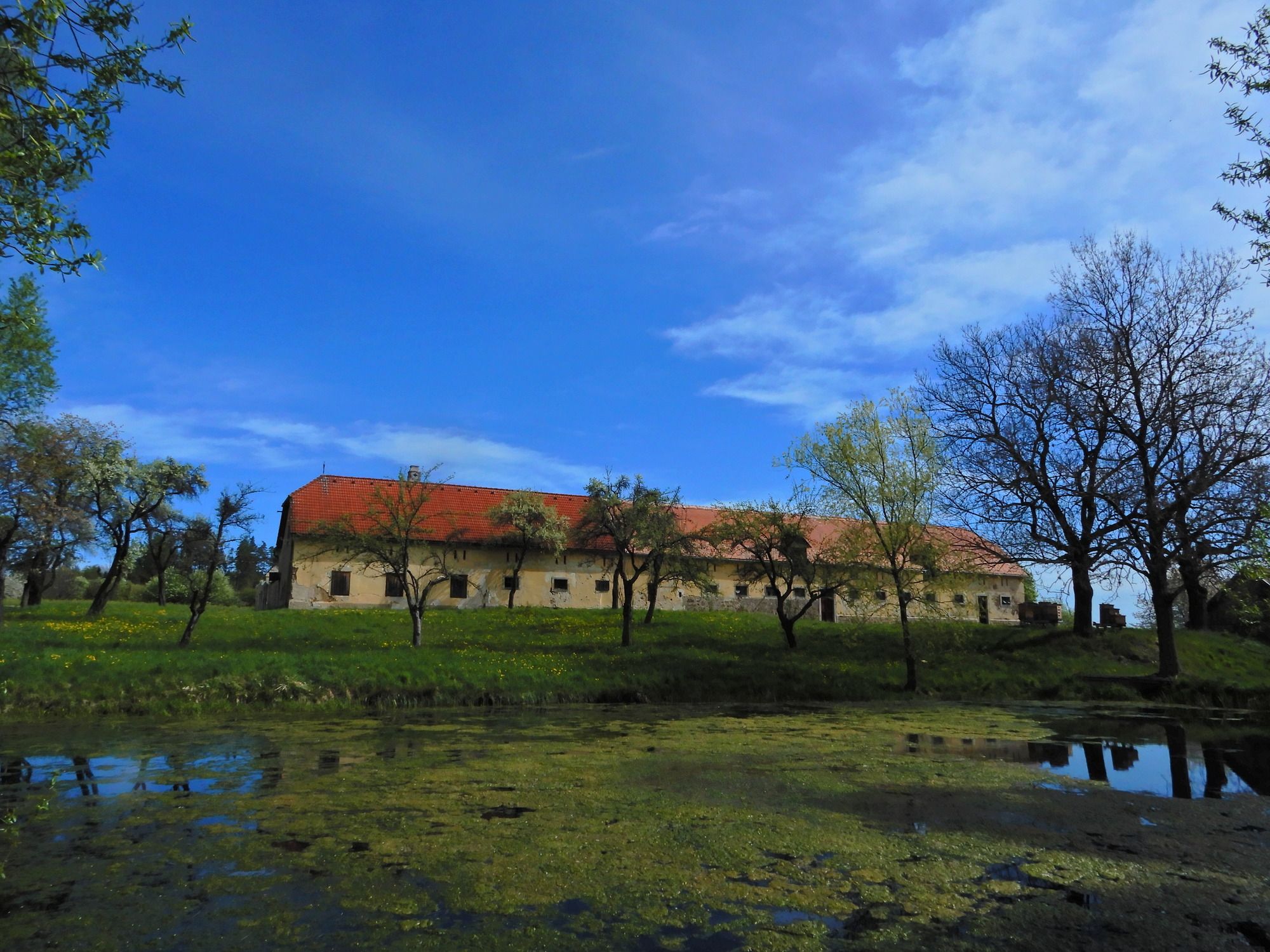
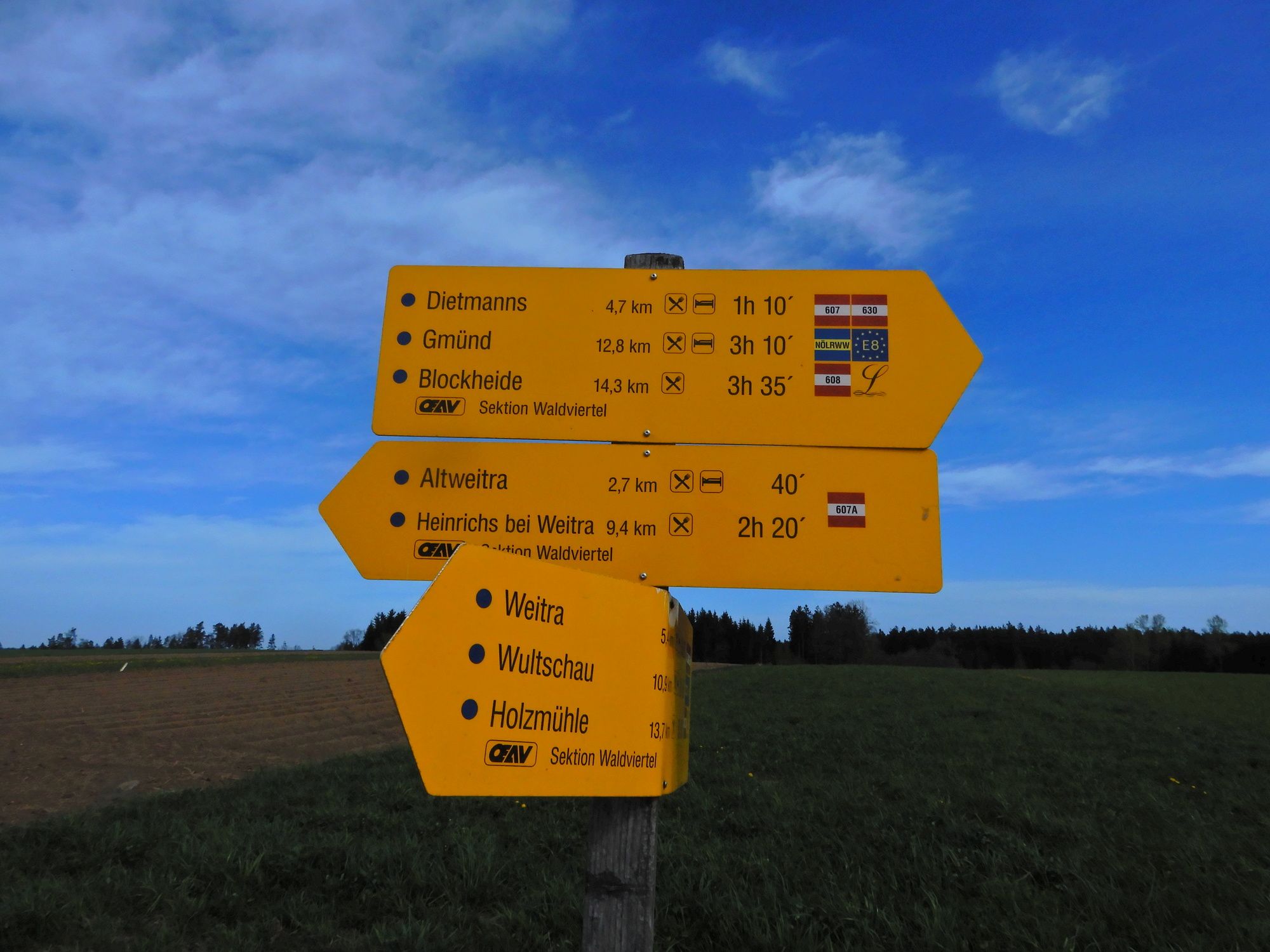
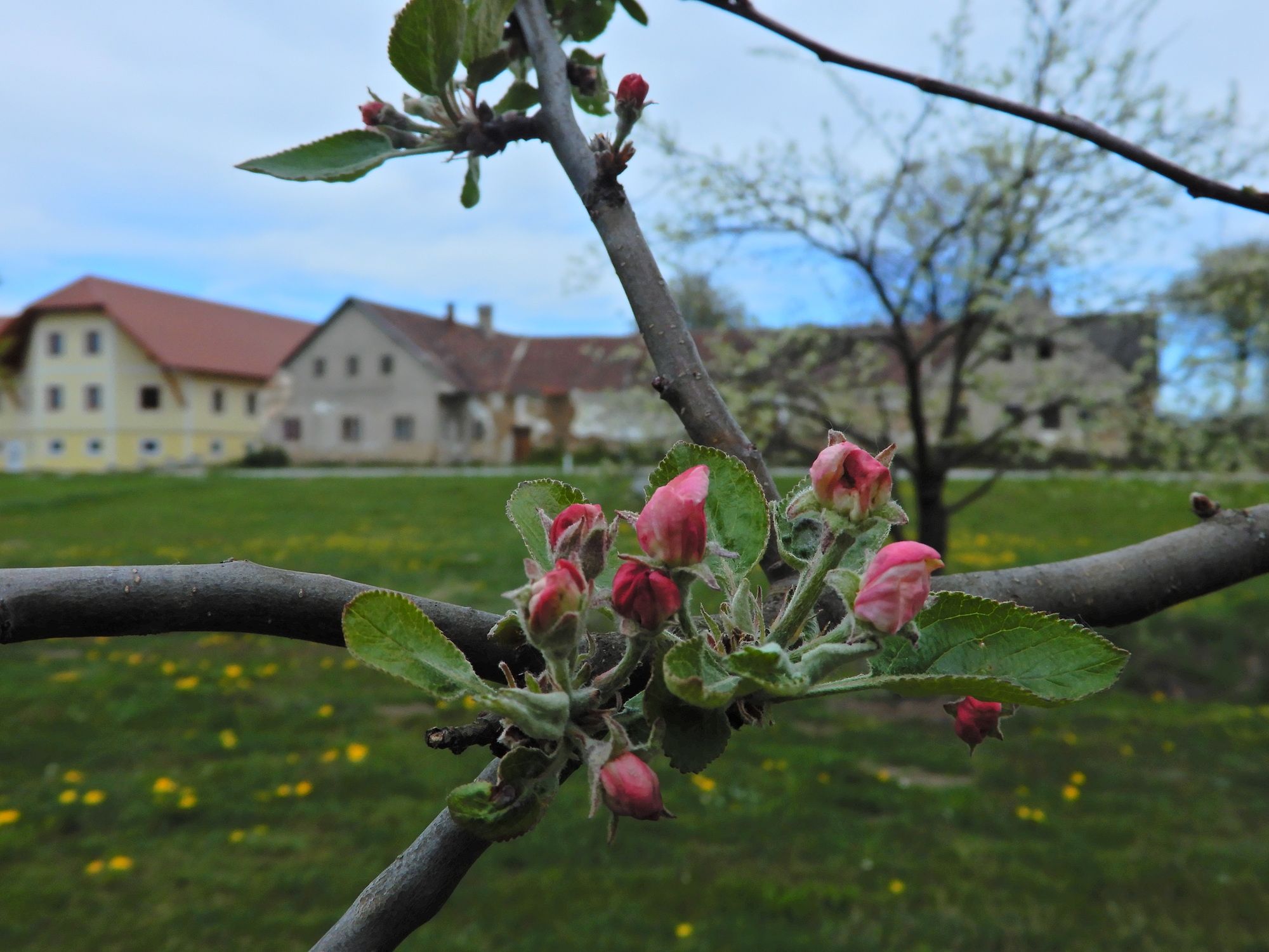
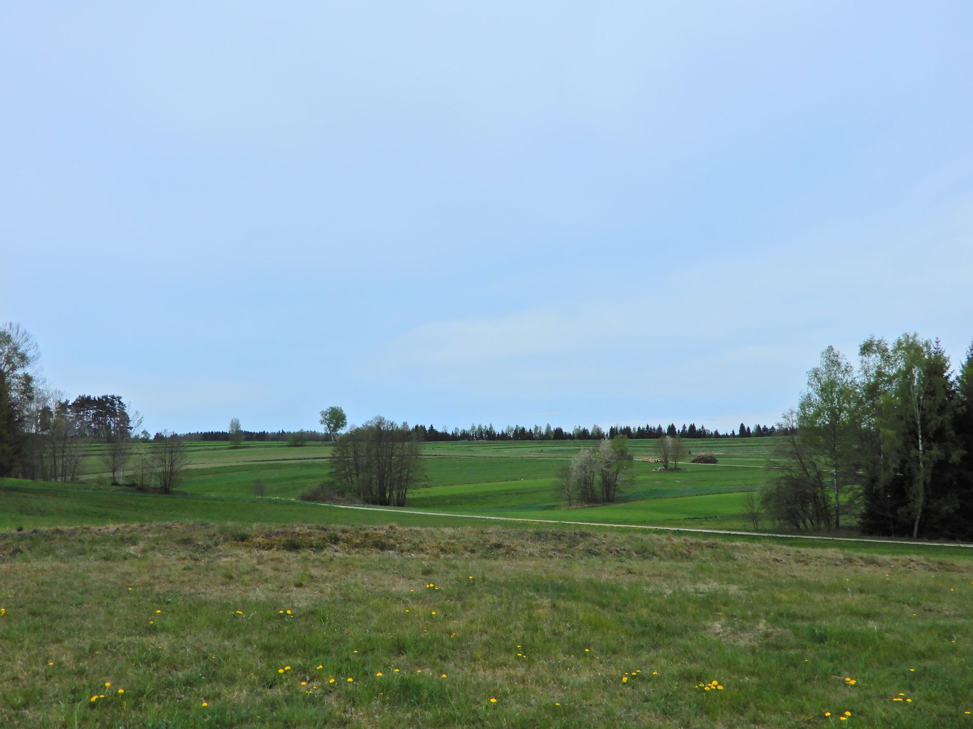
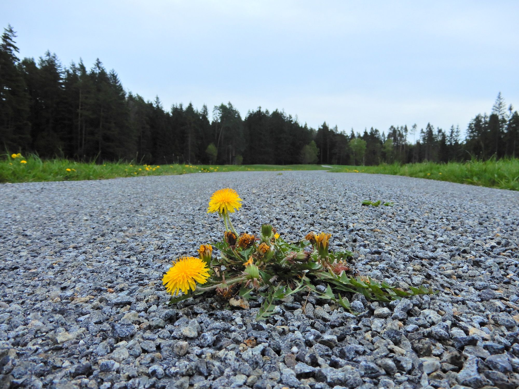
Weitra - Ulrichs - Friedrichshof - Dietmnanns - Gmünd
- Vaikeus
-
helppo
- Arviointi
-
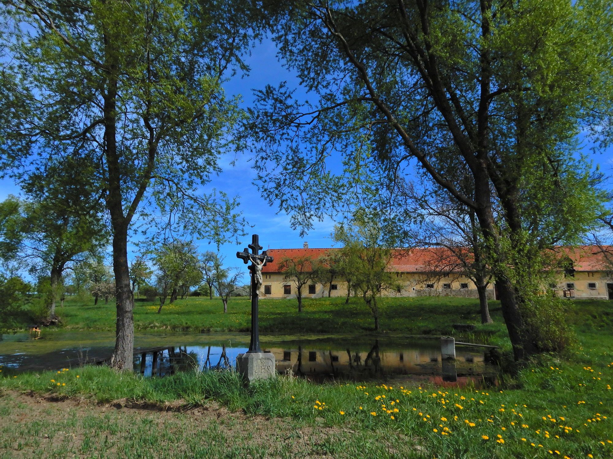
- Lähtöpiste
-
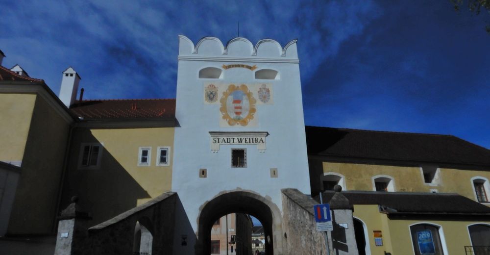
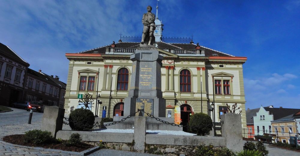
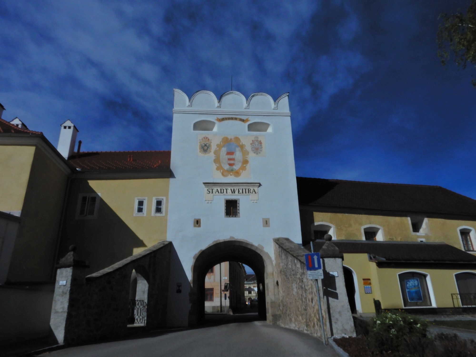
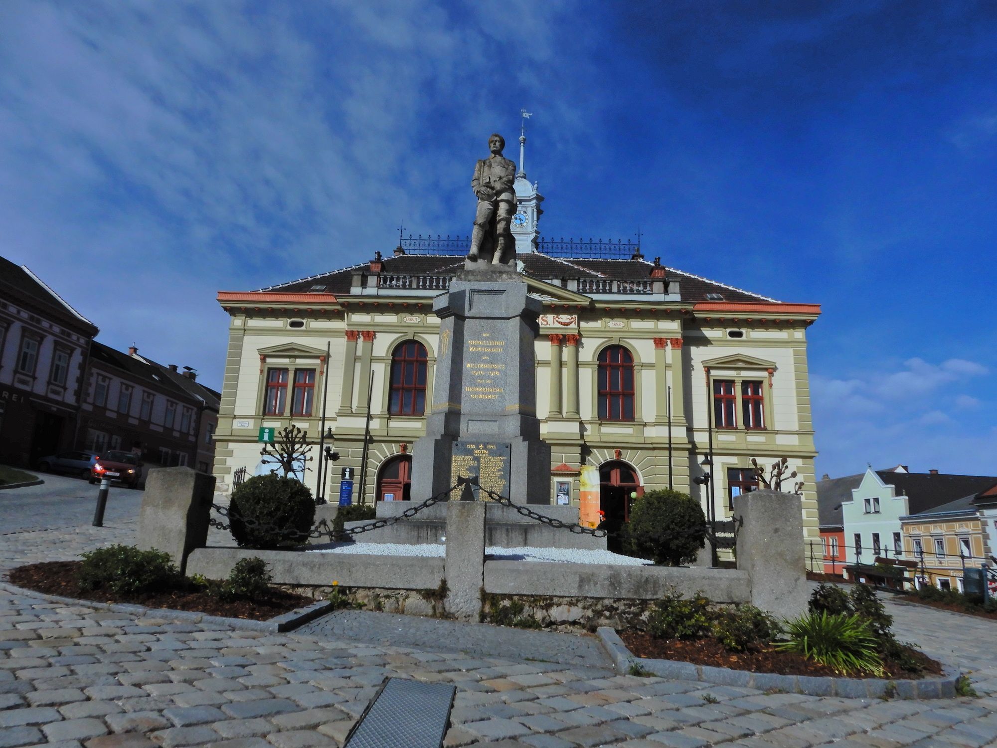
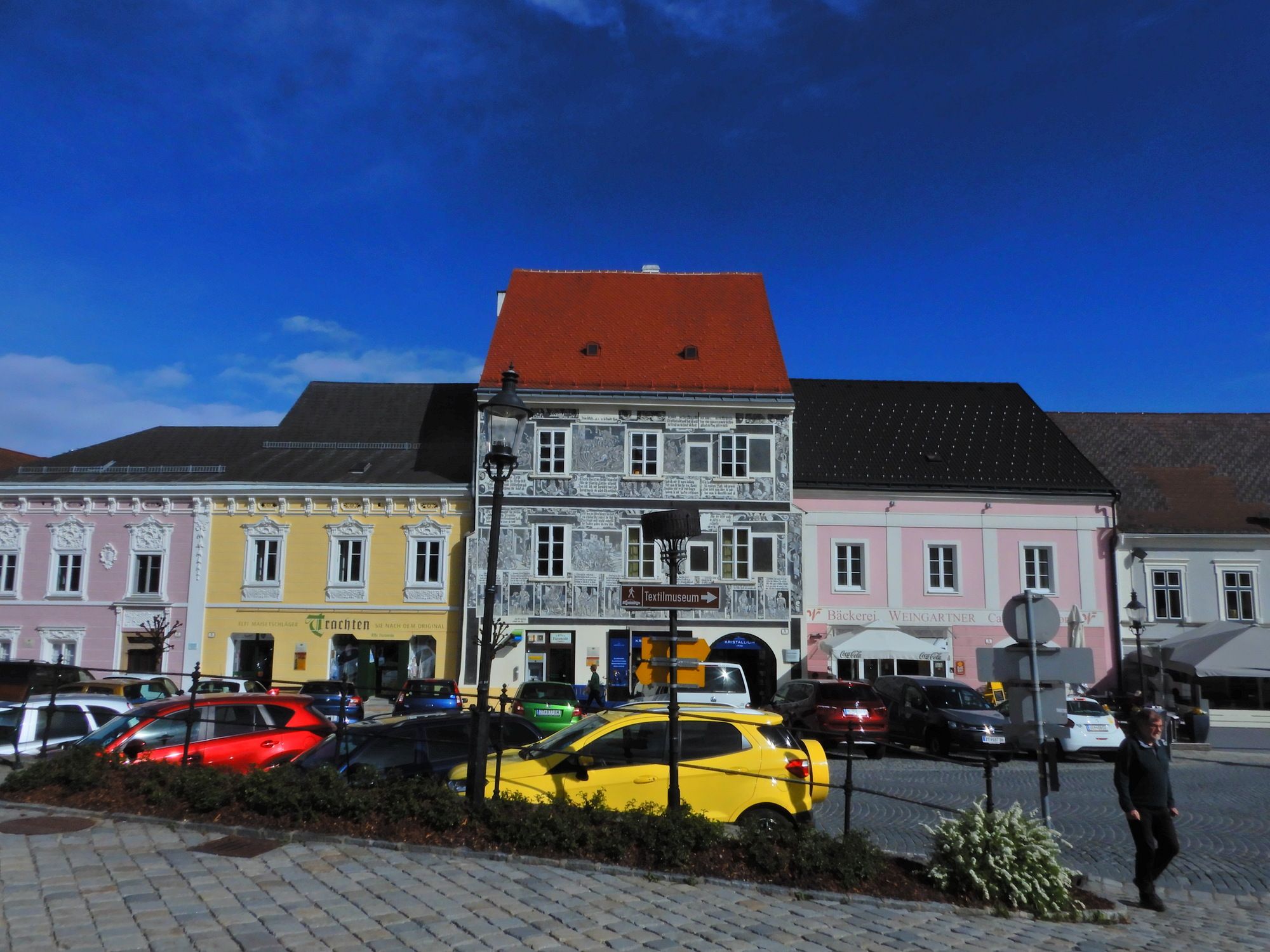
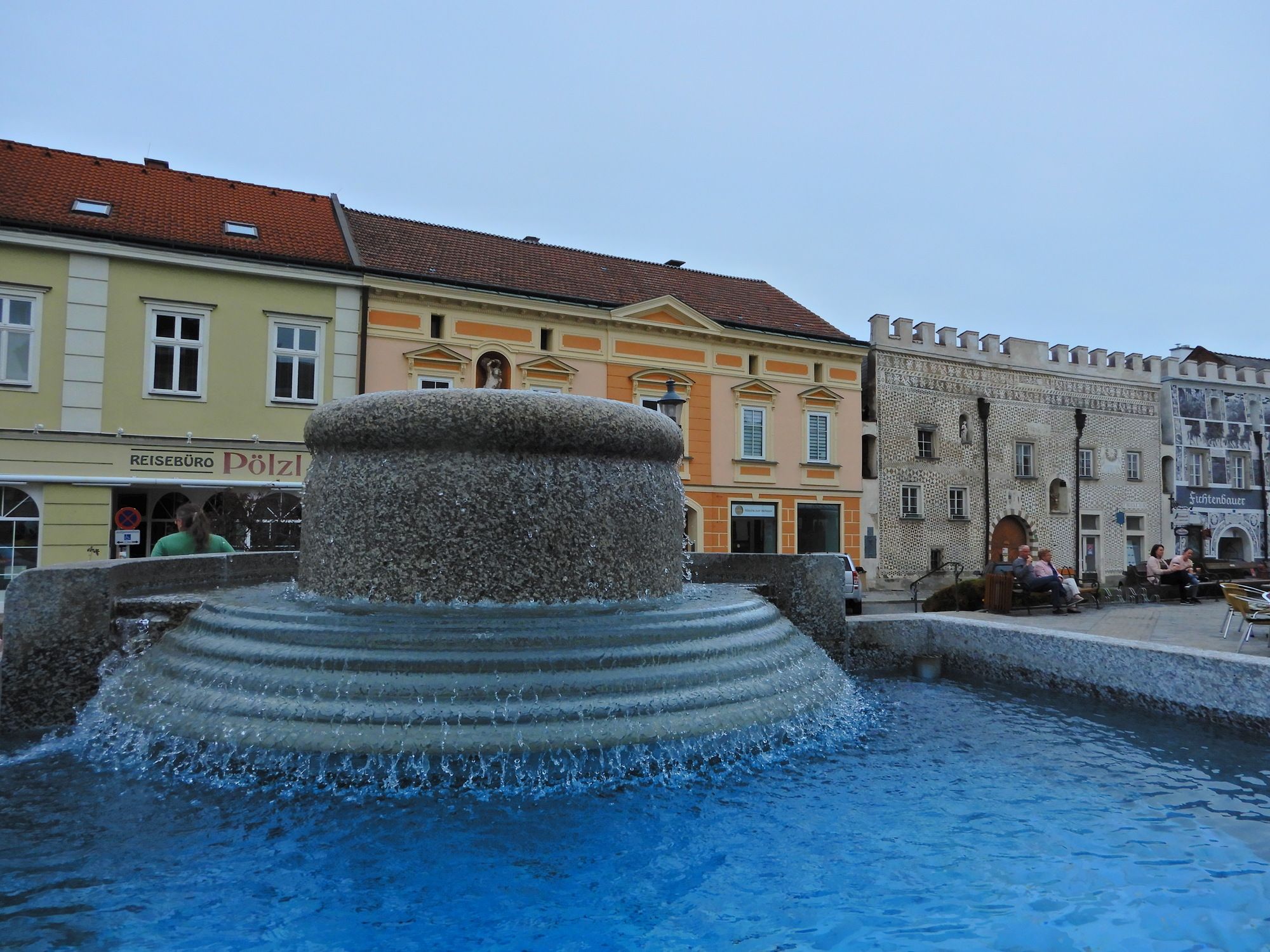
Weitra
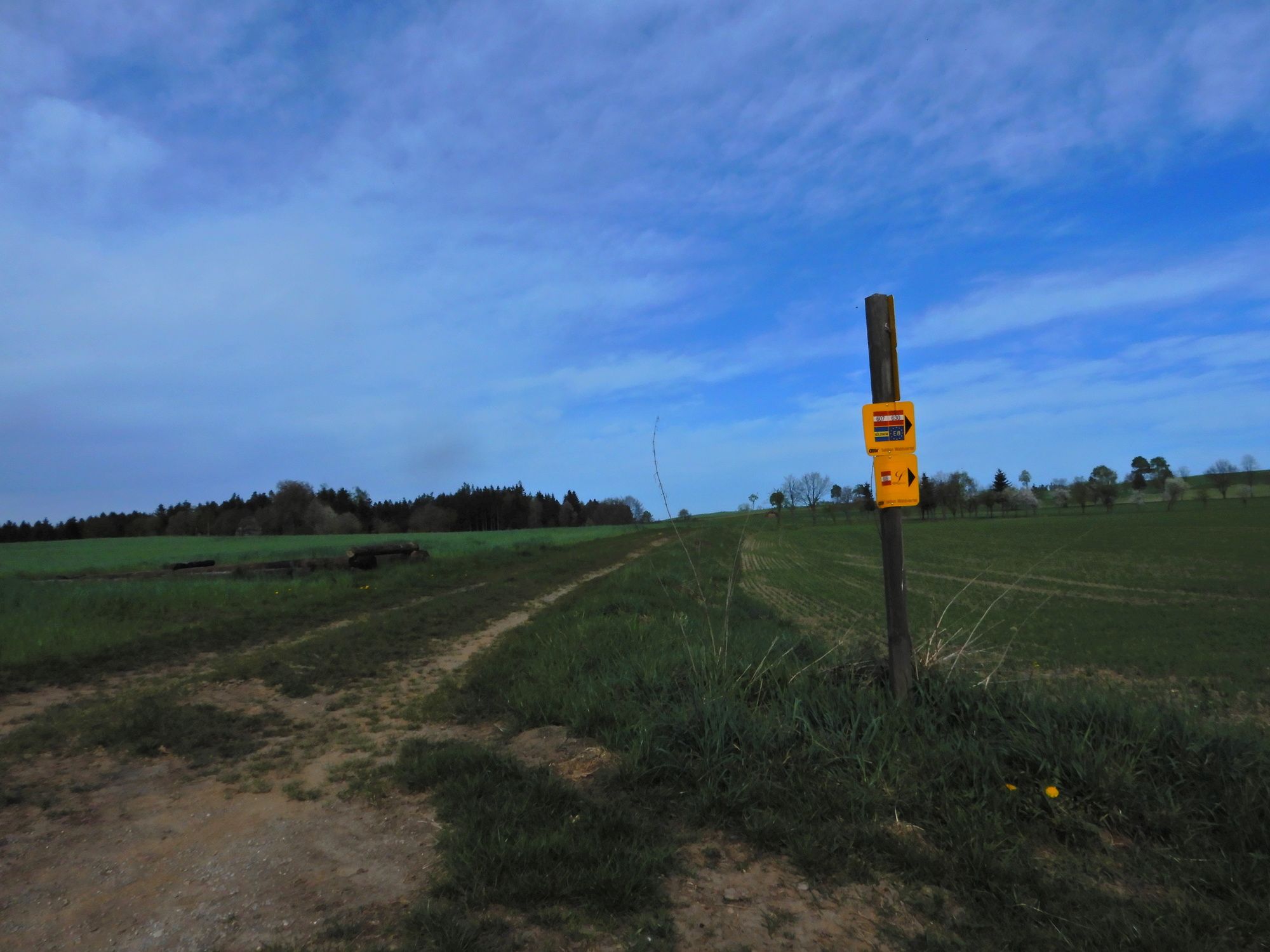
- Reitti
-
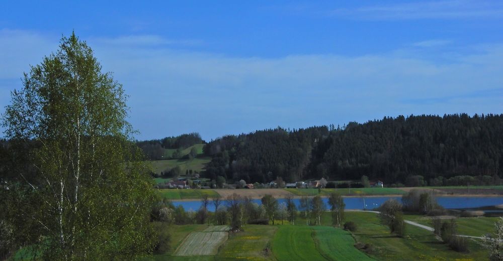
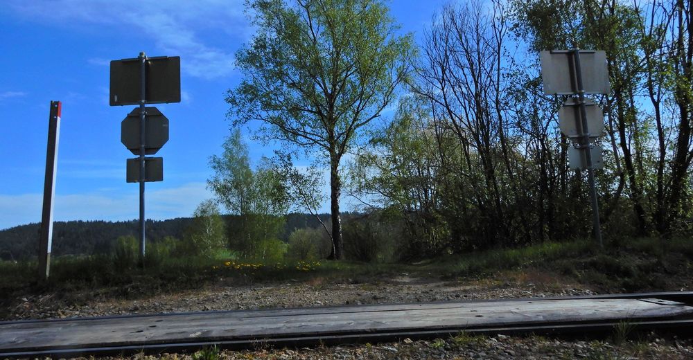
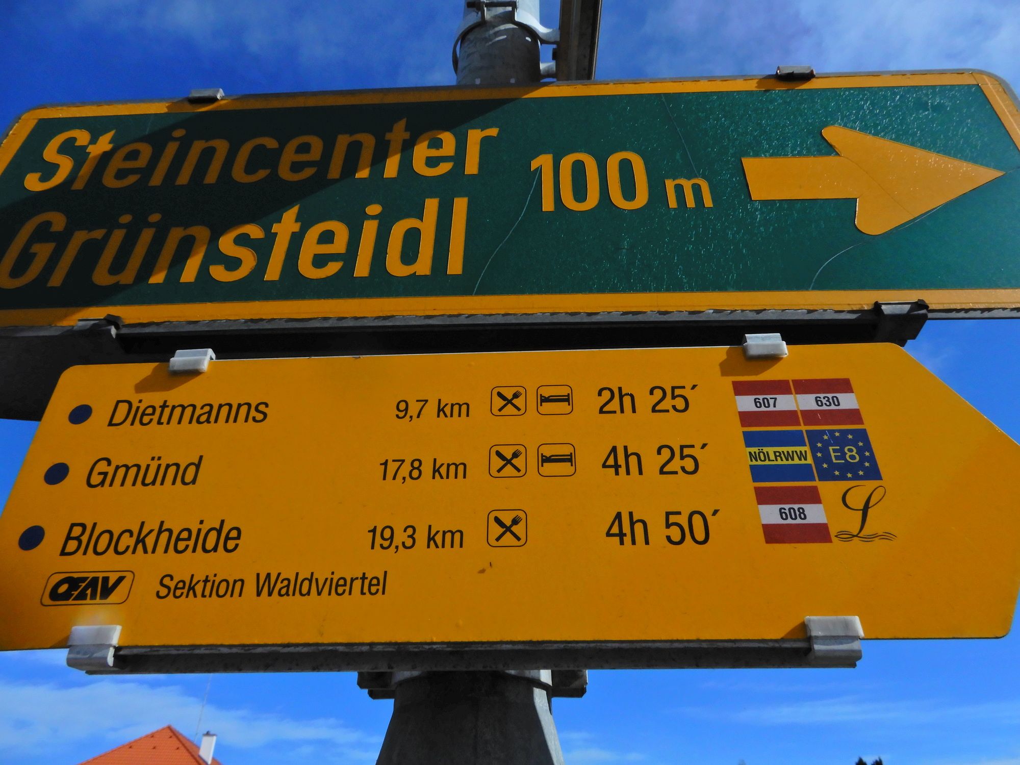
Weitra0,3 kmUlrichs3,4 kmDietmanns9,8 kmMalerwinkel19,6 kmGrillenstein19,8 kmGmünd20,5 kmEvangelische Friedenskirche Gmünd/Waidhofen20,9 kmGmünd NÖ (NÖVOG)21,6 kmGmünd NÖ (500 m)21,7 km
- Paras kausi
-
tammihelmimaalishuhtitoukokesäheinäelosyyslokamarrasjoulu
- Korkein kohta
- 616 m
- Kohde
-
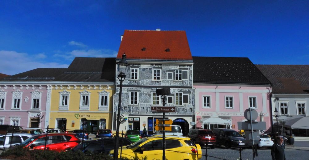
Gmünd
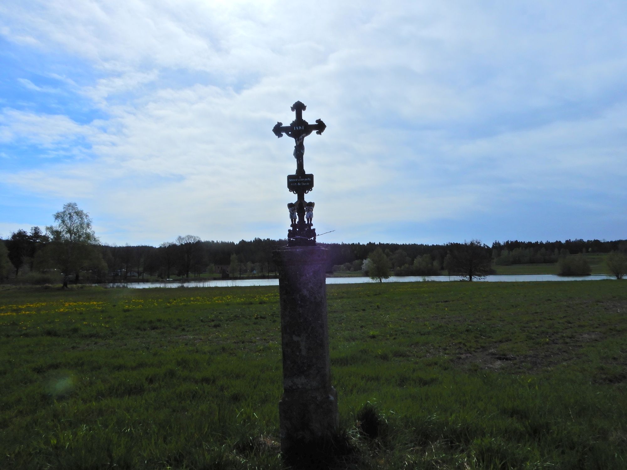
- Lepo/Retriitti
-
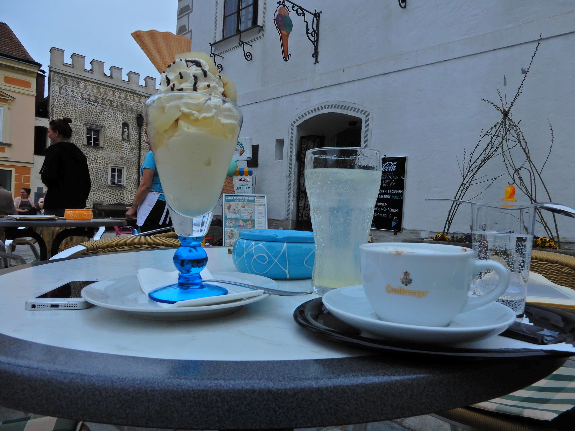
Gmünd und Weitra jeweils am Hauptplatz
- Kirjallisuus
-
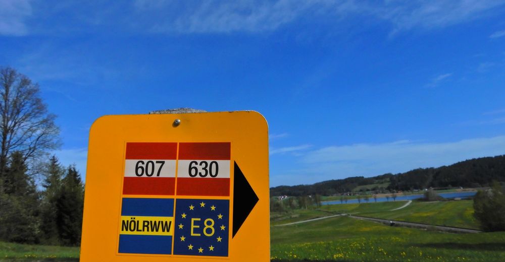
Österreichischer Weitwanderweg 07, Ostösterreichischer Grenzlandweg, Nebelstein - Bad Radkersburg, Erika und Fritz Käfer
- Karttamateriaali
-
BEV


GPS Downloads


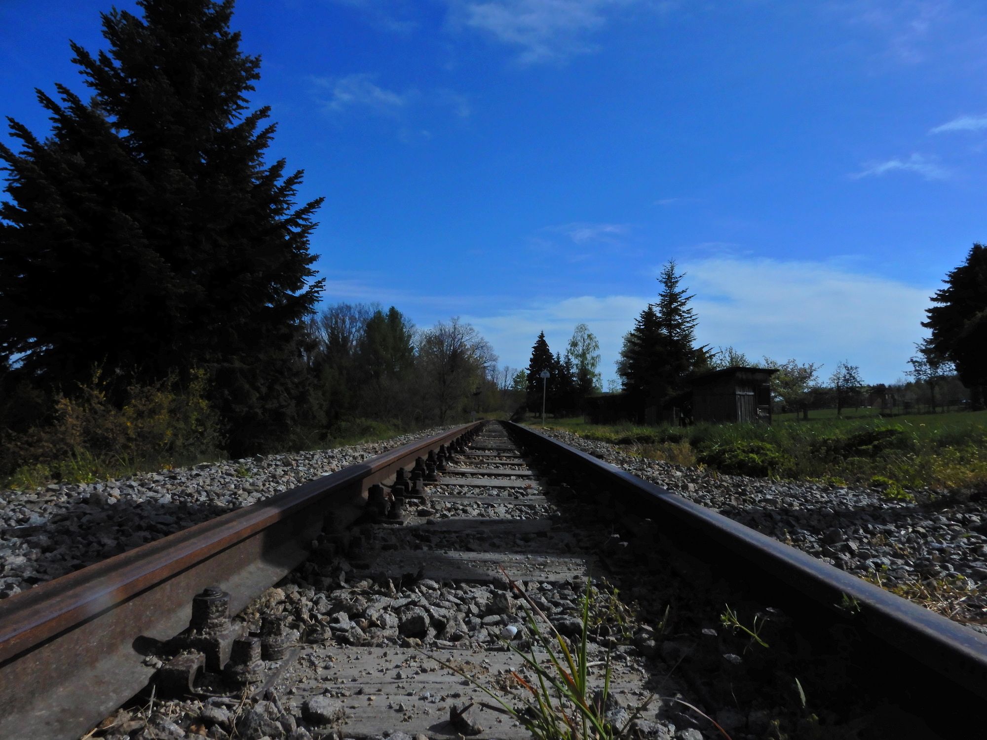
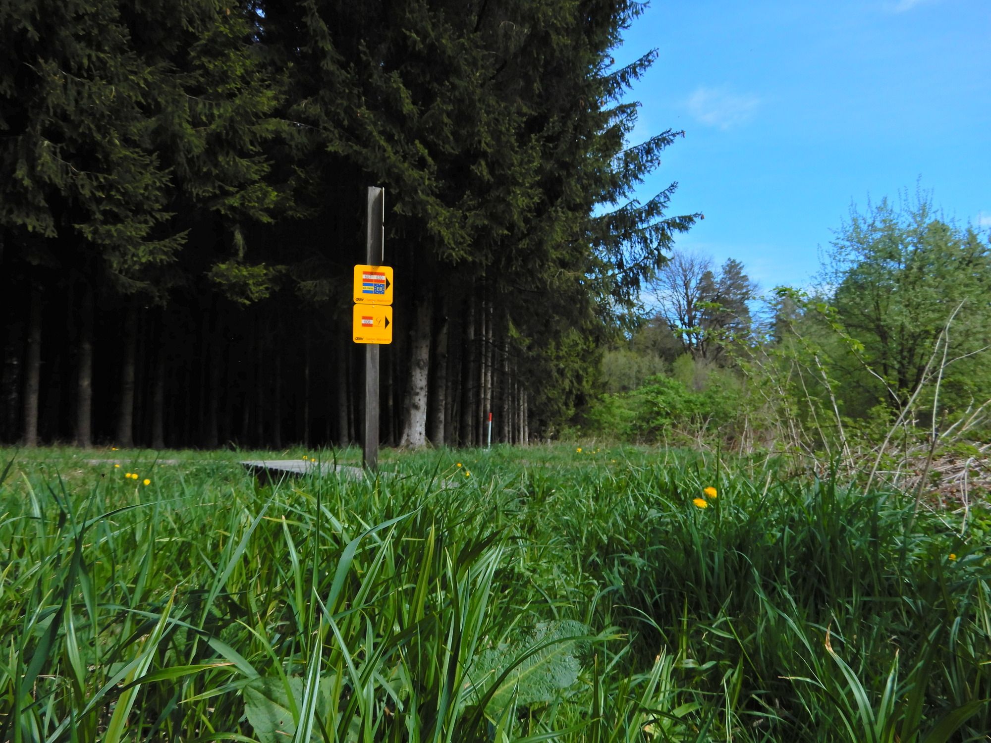
Polun olosuhteet
Asfaltti
Sora
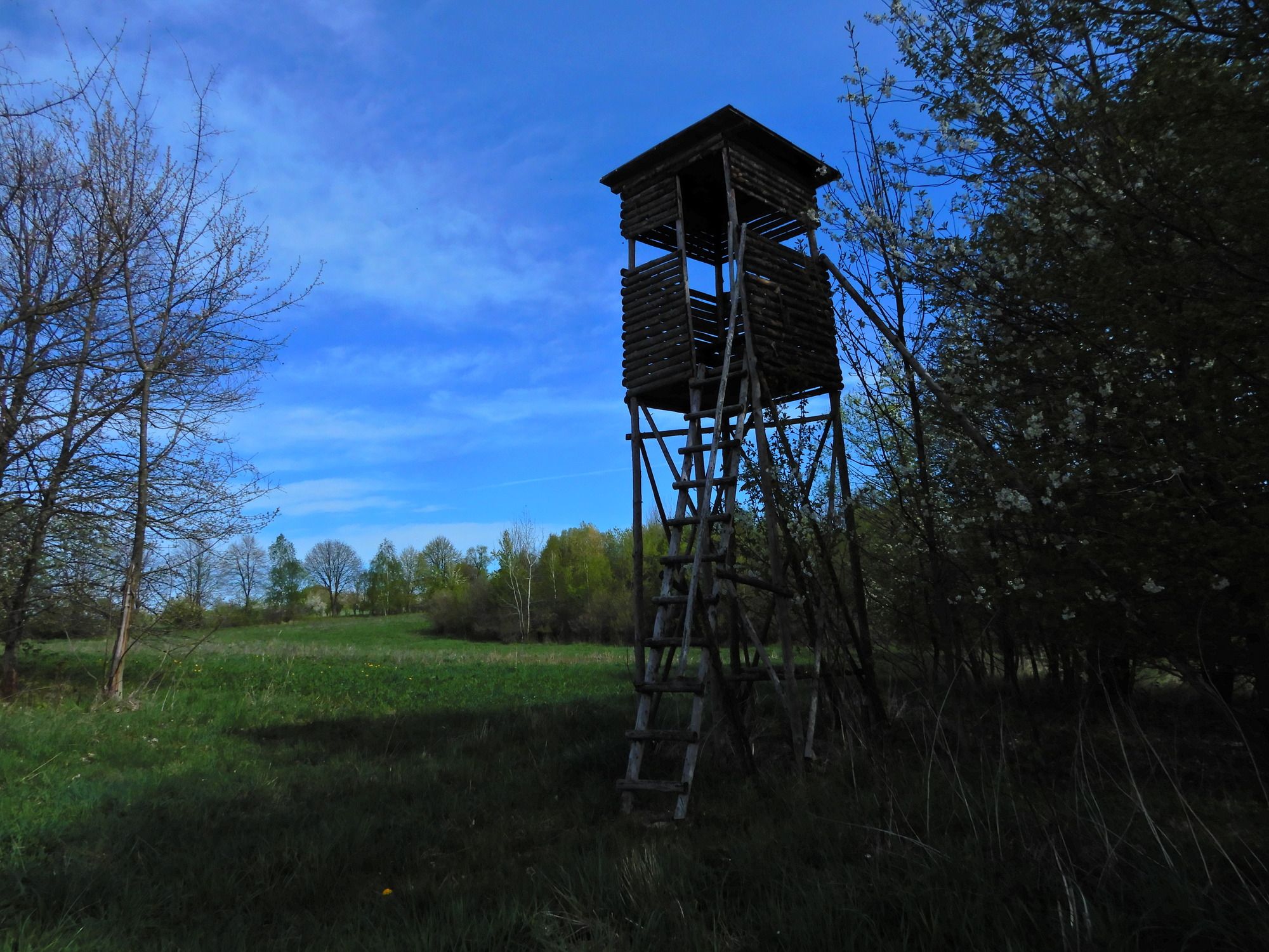
Niitty
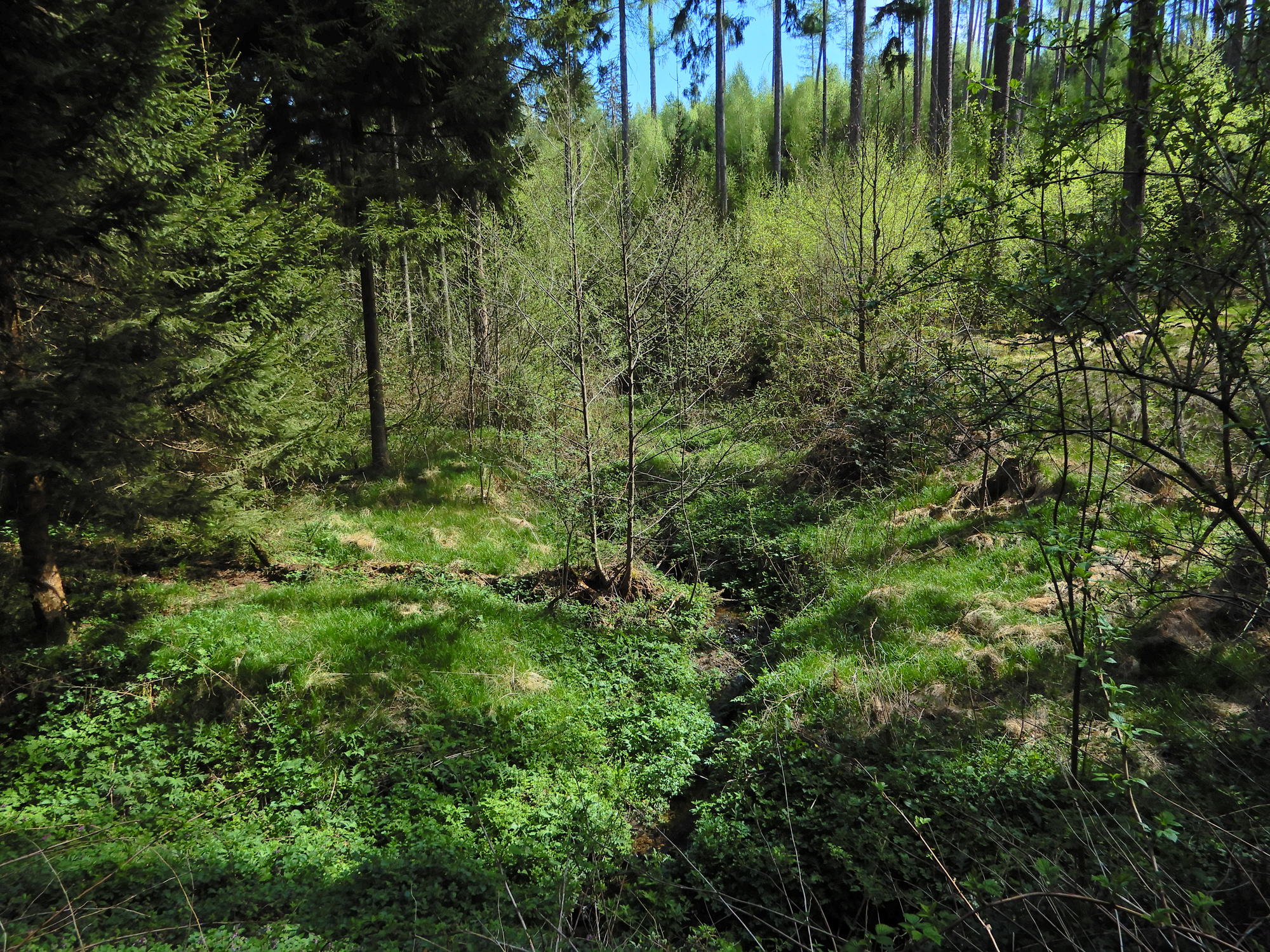
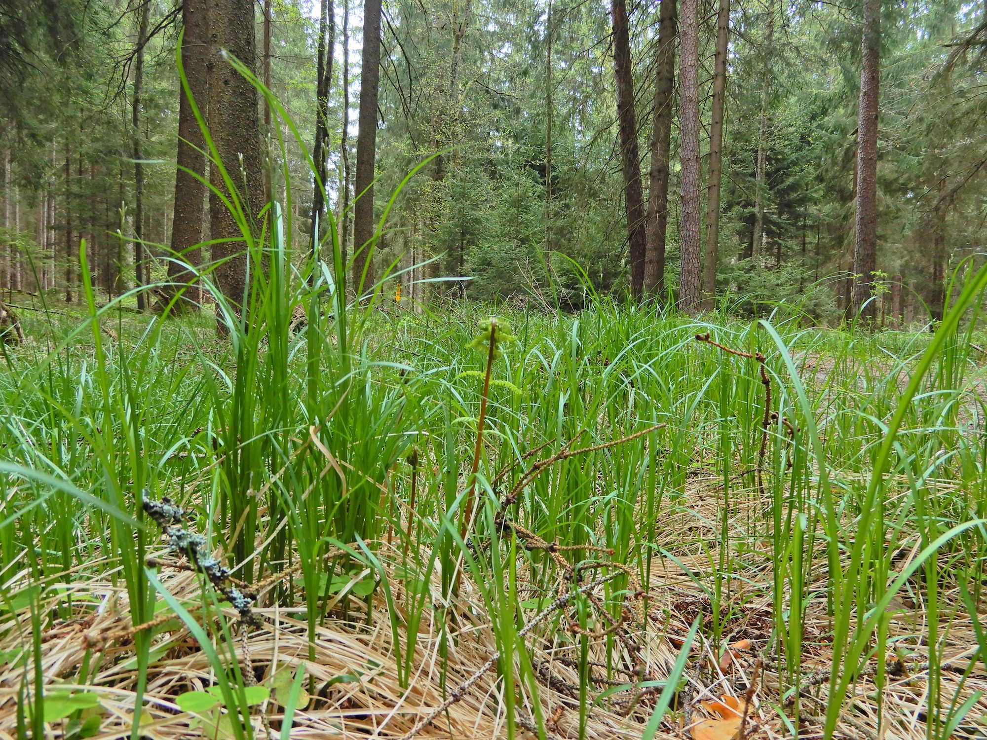
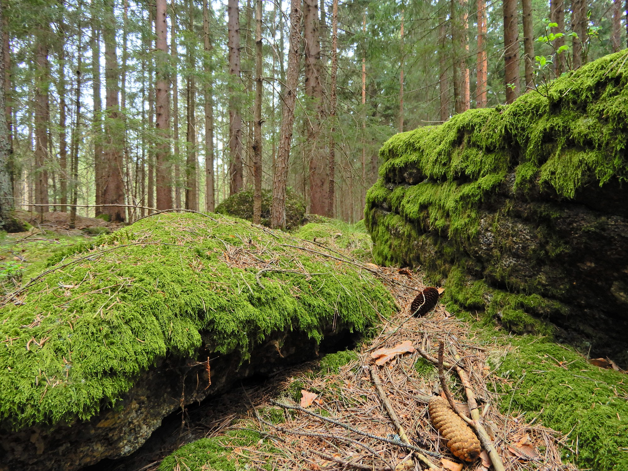
Metsä
Kallio
Altistettu
Lisää retkiä alueilla
-
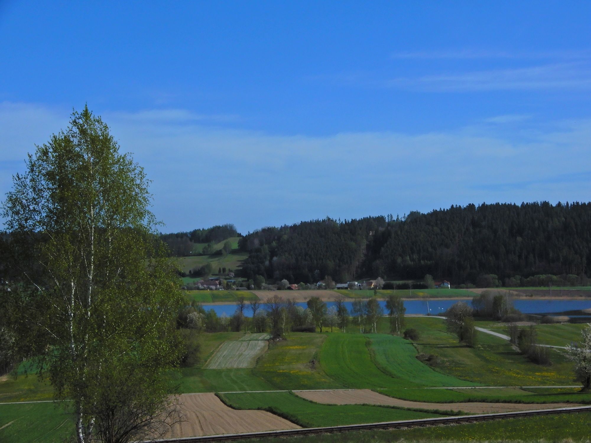
Waldviertel
1779
-
Oberes Waldviertel
616
-
Gmünd im Waldviertel
131