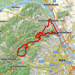
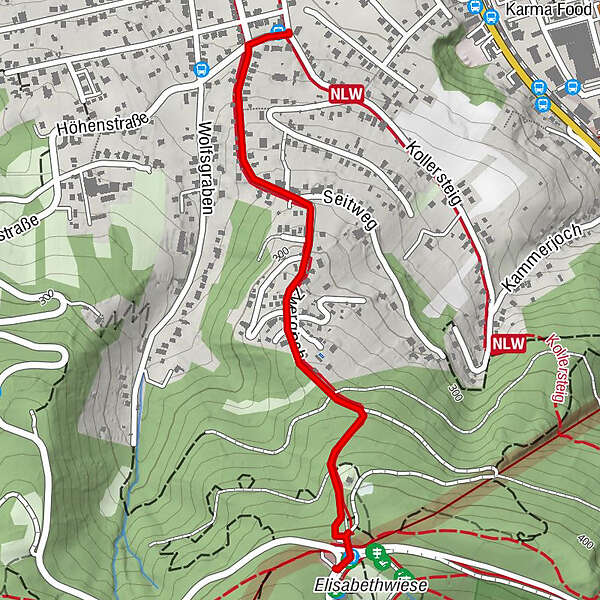
Verbindungsweg Josefssteig - Kahlenbergerdorf Strecke

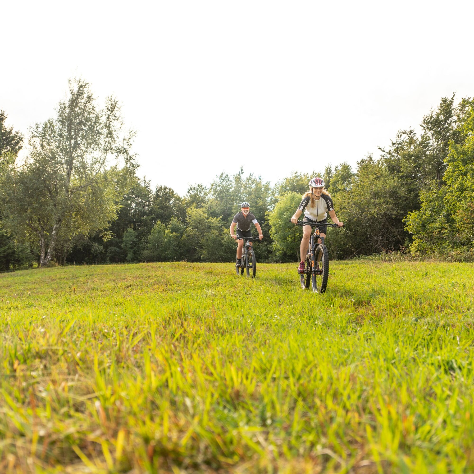
Mountainbike

© Wienerwald Tourismus GmbH / Christoph Kerschbaum
- Lyhyt kuvaus
-
Verbindungsweg vom Josefssteig zur Kahlenbergerdorf Strecke
- Vaikeus
-
helppo
- Arviointi
-
- Reitti
-
Klosterneuburg0,1 kmVienna (542 m)1,5 km
- Paras kausi
-
tammihelmimaalishuhtitoukokesäheinäelosyyslokamarrasjoulu
- Korkein kohta
- 406 m
- Kohde
-
Josefinenhütte, Höhenstraße
- Korkeusprofiili
-

- Kirjoittaja
-
Kiertue Verbindungsweg Josefssteig - Kahlenbergerdorf Strecke käyttää outdooractive.com toimitettu.
GPS Downloads


Lisää retkiä alueilla
-
Wienerwald
285
-
Wien und Umgebung
206
-
Klosterneuburg
78