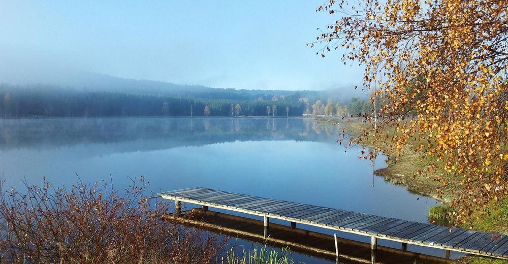
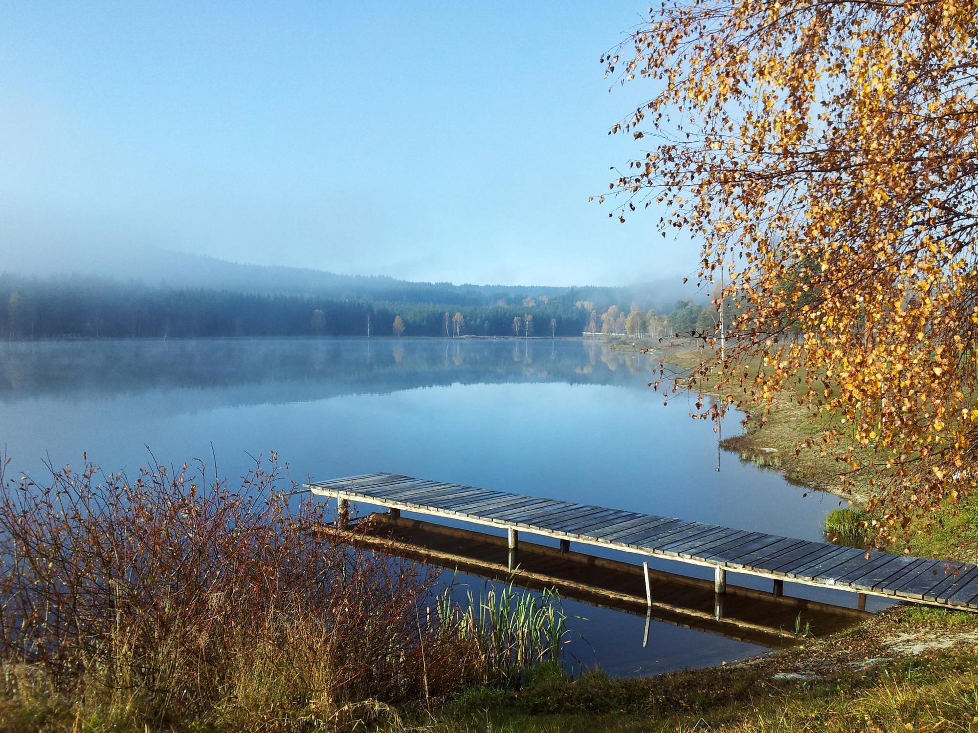
Frauenwieserteichtour

Logo Frauenwieserteichtour
Retkitiedot
20,06km
706 - 901m
Distanz
313hm
306hm
Nousu
01:55h
 
Kesto
Lyhyt kuvaus

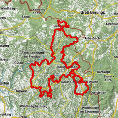
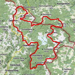
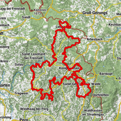
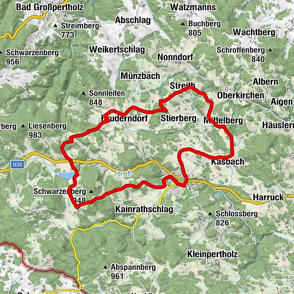
Langschlag - Streith - Bruderndorf - Hahnmühle - Frauenwieserteich - Braunhof - Langschlag

Vaikeus
tapa
Arviointi
Tekniikka
Kunto
Maisema
Elämys
Reitti
Bruderndorf
Teichbuffet Frauenwieserteich
4,0 km
Baumis Bisonranch
7,1 km
Langschlag
9,8 km
Pfarrkirche St. Stephan
9,8 km
Gasthaus Schweifer
10,1 km
Langschlager Feld
11,5 km
Kasbach Feld
14,1 km
Mittelberg
14,4 km
Ameisleiten
14,6 km
Rauhof
15,8 km
Streith
17,1 km
Bruderndorf
20,0 km

Paras kausi
tammi
helmi
maalis
huhti
touko
kesä
heinä
elo
syys
loka
marras
joulu
Korkein kohta
901 m
Kohde

Langschlag

Korkeusprofiili

Kirjoittaja
Kiertue Frauenwieserteichtour käyttää outdooractive.com toimitettu.

Yleinen luokitus

5

0

%

4

0

%

3

0

%

2

0

%

1

0

%

Virhe
On tapahtunut virhe. Yritä uudelleen.
Kiitos arvostelusta

Luokitus poistettiin

GPS Downloads
  • GPX GPS Exchange Format (XML)
  • KML Google Earth, Google Maps
QR-latauskoodit matkapuhelimiin
Lisää retkiä alueilla

Suosittuja retkiä alueella

Tour de Alm EXTREM - 188Km, 5400Hm an einem Tag!

vaikea Mountainbike
188,34km | 4398hm | 13:00h

Granittrail 2. Teiletappe: Groß Gerungs - Bärnkopf

tapa Mountainbike
47,4km | 972hm | 04:30h

Liebenau route no. M5

tapa Mountainbike
39,02km | 599hm | 03:09h

Tour de Alm

vaikea Mountainbike
187,88km | 4410hm | 17:08h