© Rene Kapeller
© Rene Kapeller
© Rene Kapeller
© Rene Kapeller
© Rene Kapeller
© Rene Kapeller
© Rene Kapeller
Retkitiedot
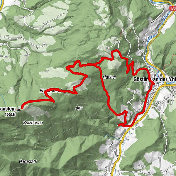
18km
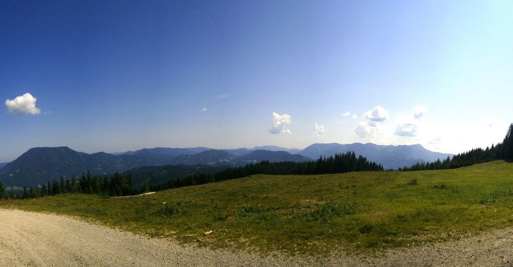
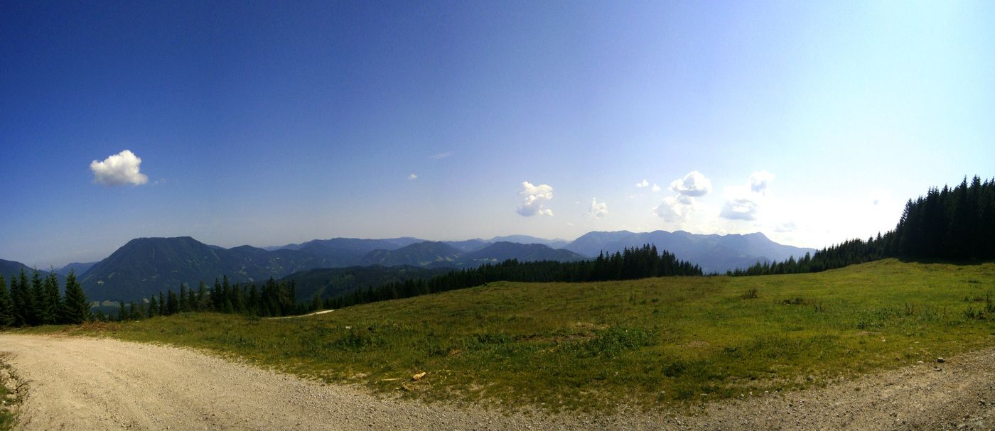
460
- 1.290m
844hm
848hm
02:30h
- Lyhyt kuvaus
-
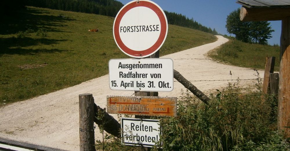
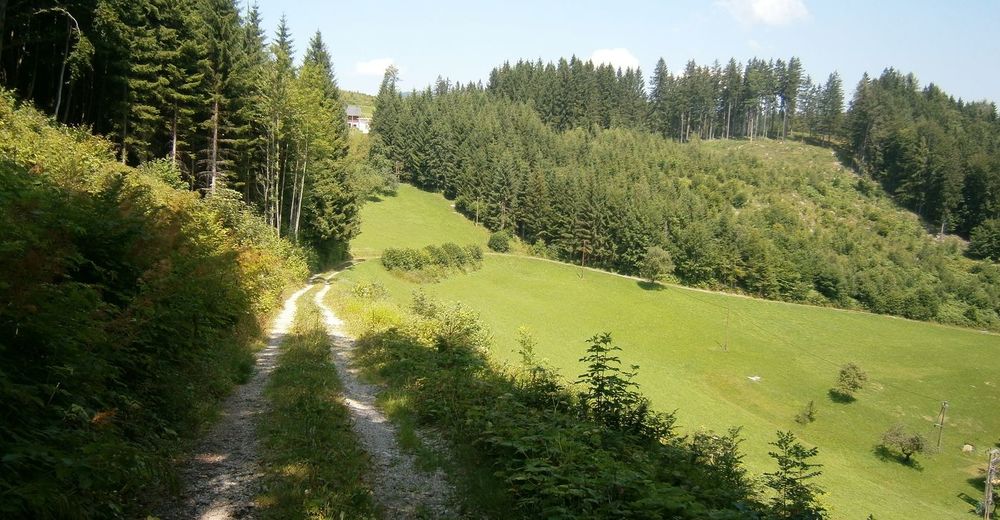
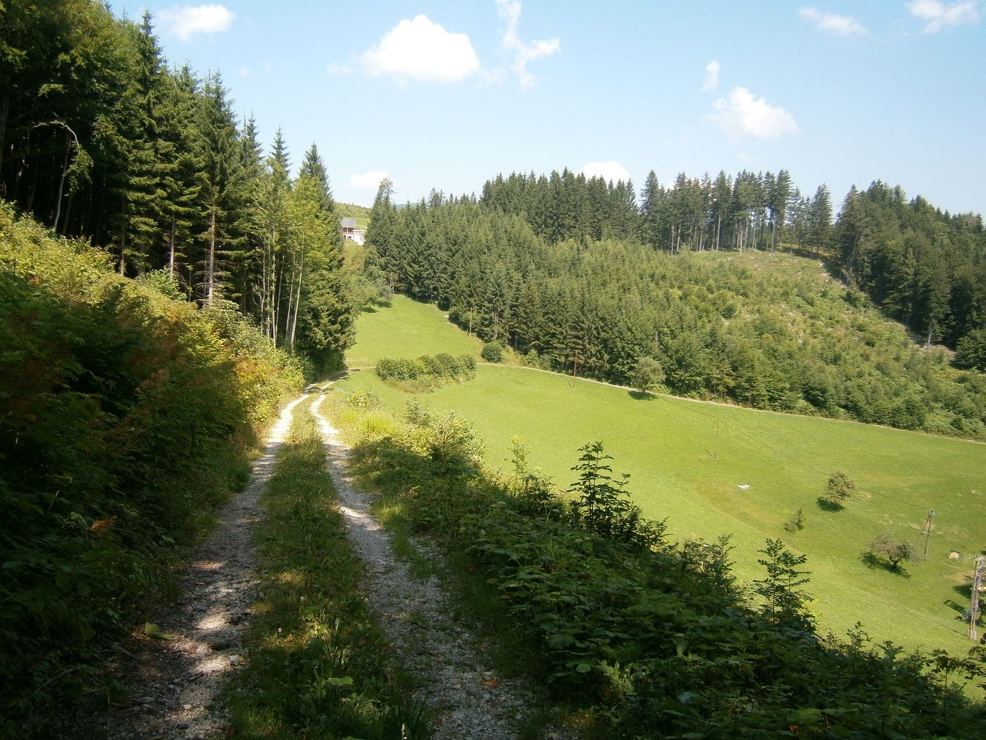
Relativ viel Alsphalt Anteil (ca. 3/4) jedoch großteils im Wald und wenig Verkehr.
- Vaikeus
-
helppo
- Arviointi
-
- Lähtöpiste
-
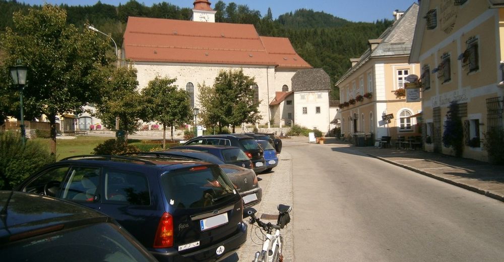
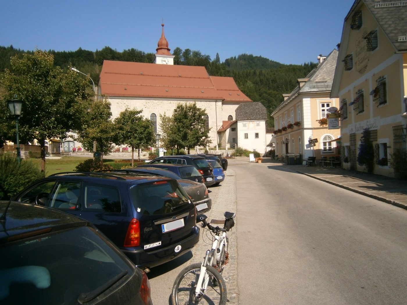
Gemeindeamt Göstling
- Reitti
-
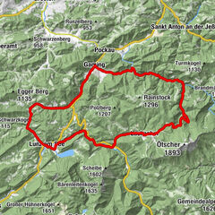
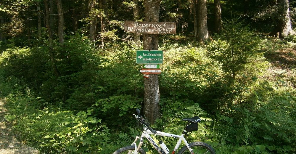
Göstling an der Ybbs0,0 kmSt. Andreas0,1 kmKogler wasserfall2,8 kmAlmkopf (1.303 m)8,7 kmSiebenhütte9,3 kmSt. Andreas17,7 kmGöstling an der Ybbs17,8 km
- Paras kausi
-
tammihelmimaalishuhtitoukokesäheinäelosyyslokamarrasjoulu
- Korkein kohta
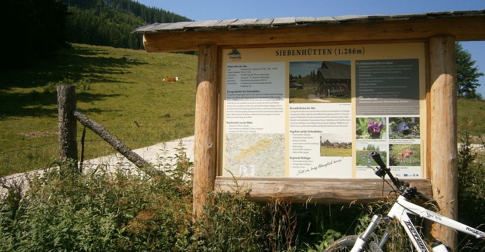
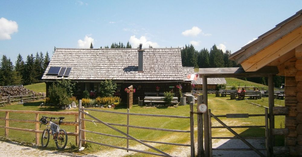
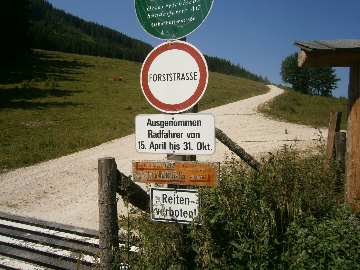
- 7 Hütten (1.290 m)
- Kohde
-
Gemeindeamt Göstling
- Lepo/Retriitti
-
7 Hütten, Gasthäuser und Cafes in Göstling


- Lähde
- Rene Kapeller
GPS Downloads


Ajoreitit
Asfaltti
(13 km)
Sora
(5 km)
Metsä
Vuoripolut
Singletrails
Trial
Liikenne
Lisää retkiä alueilla