© Radler-Rast - Mag. Brigitte Pamperl

© Radler-Rast - Mag. Brigitte Pamperl

© Radler-Rast - Mag. Brigitte Pamperl

© Radler-Rast - Mag. Brigitte Pamperl

© Radler-Rast - Mag. Brigitte Pamperl

© Radler-Rast - Mag. Brigitte Pamperl

© Radler-Rast - Mag. Brigitte Pamperl

© Radler-Rast - Mag. Brigitte Pamperl

© Radler-Rast - Mag. Brigitte Pamperl

© Radler-Rast - Mag. Brigitte Pamperl
- Lyhyt kuvaus
-
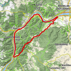
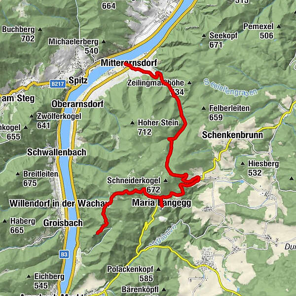
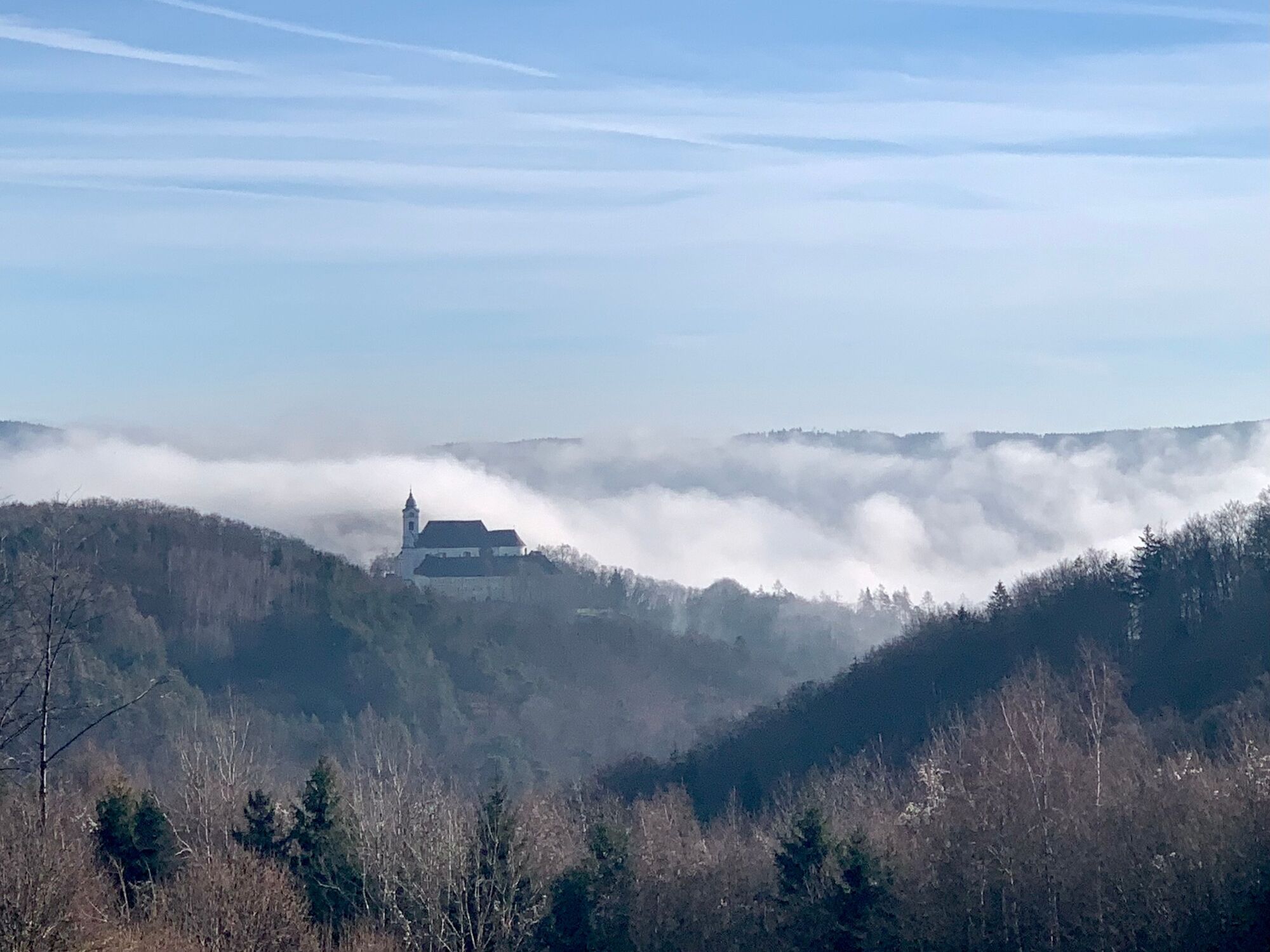
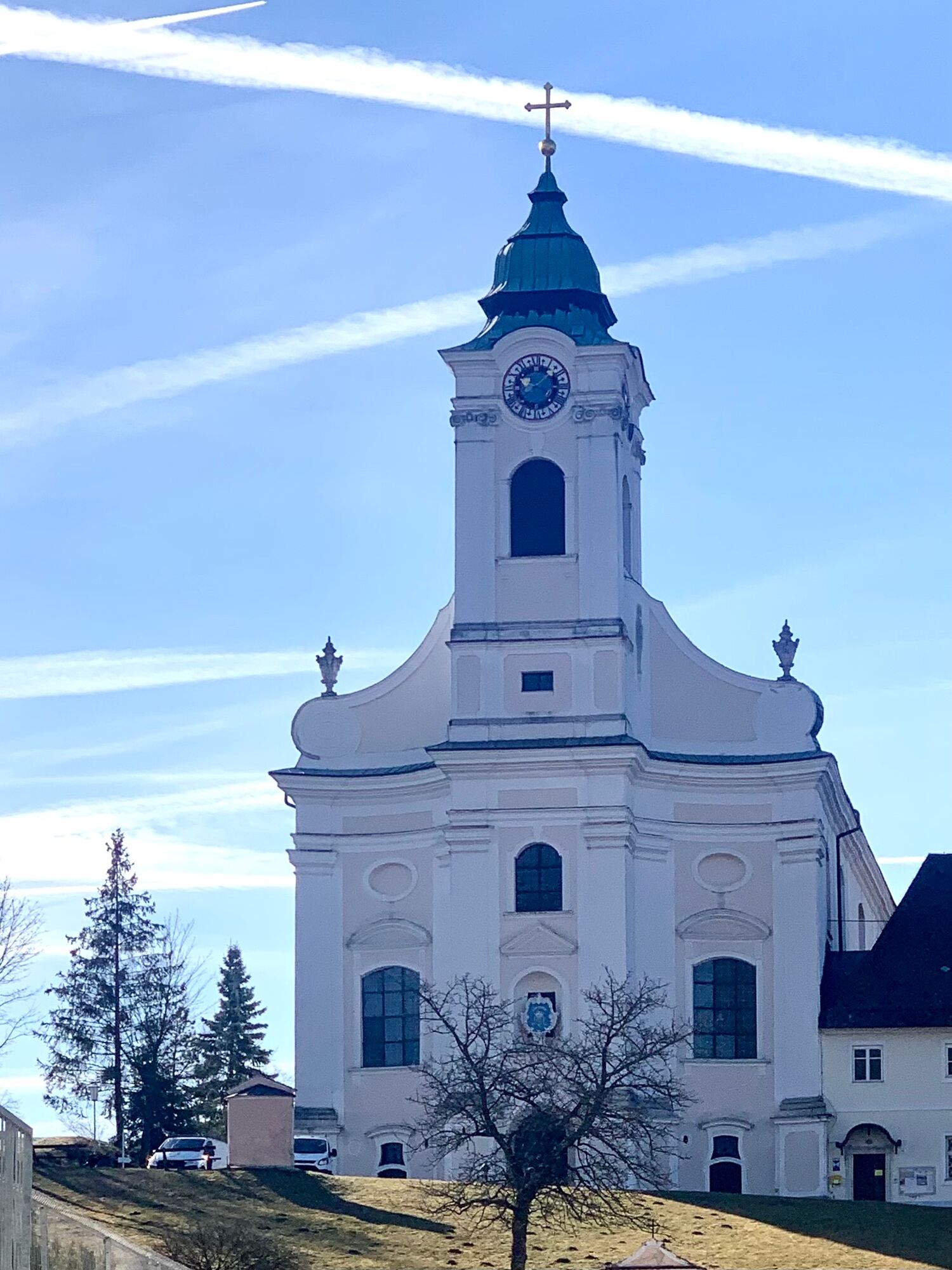
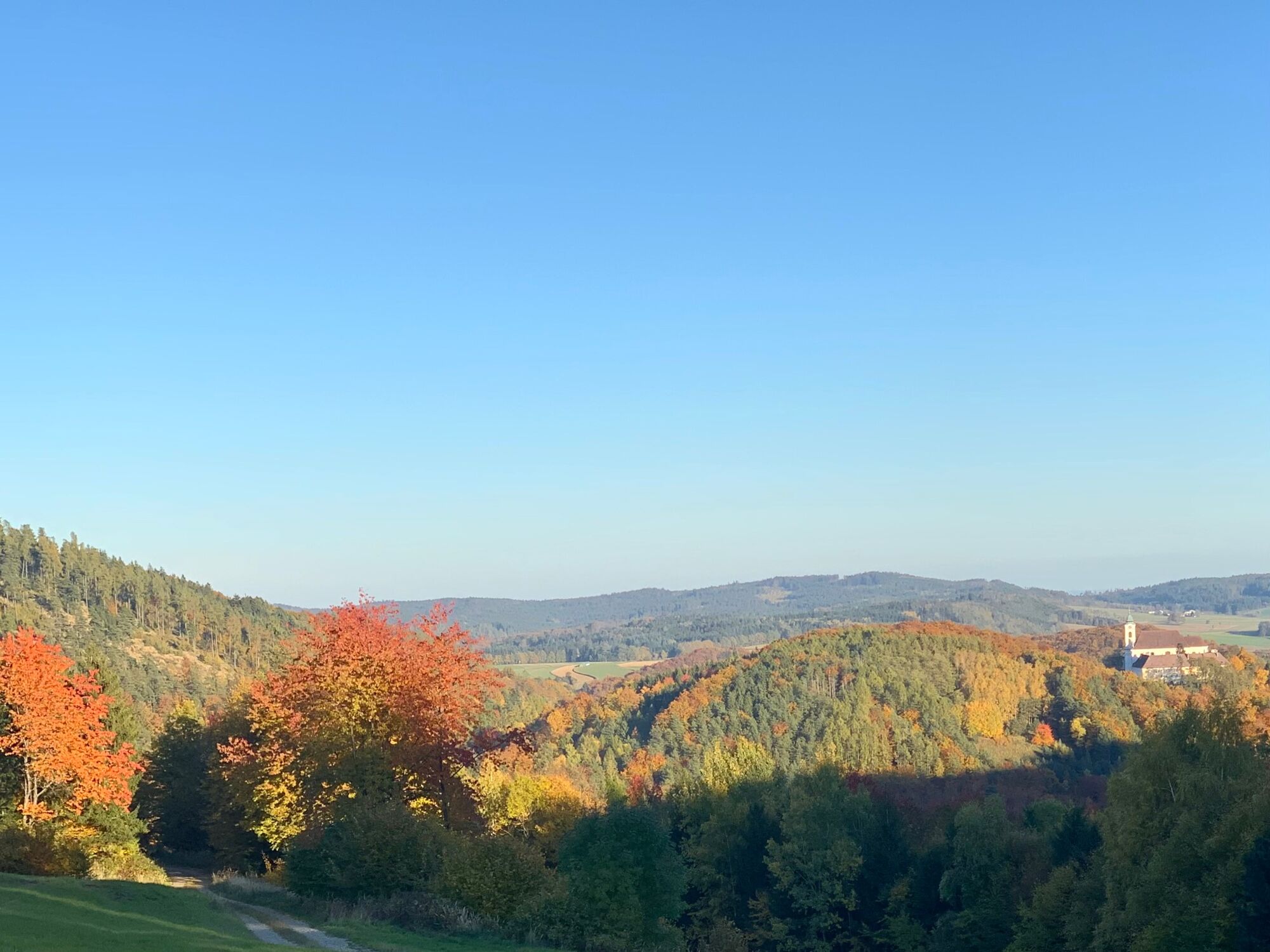
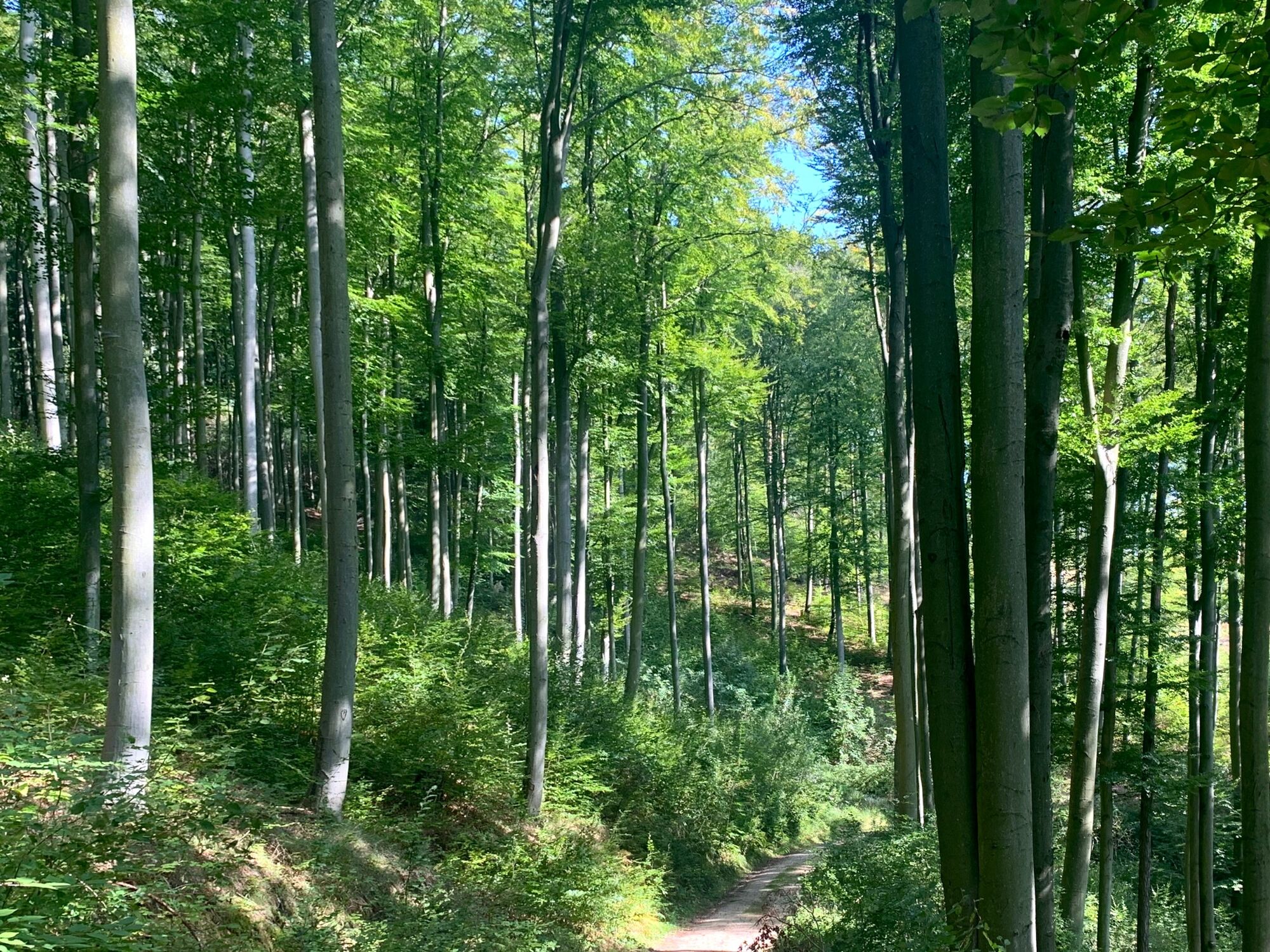
From the ruins of Aggstein, you take the e-mountain bike through the Dunkelsteiner Forest, first to Maria Langegg and then on the unpaved L7118 through the Kupfertal to Mitterarnsdorf.
- Vaikeus
-
tapa
- Arviointi
-
- Reitti
-
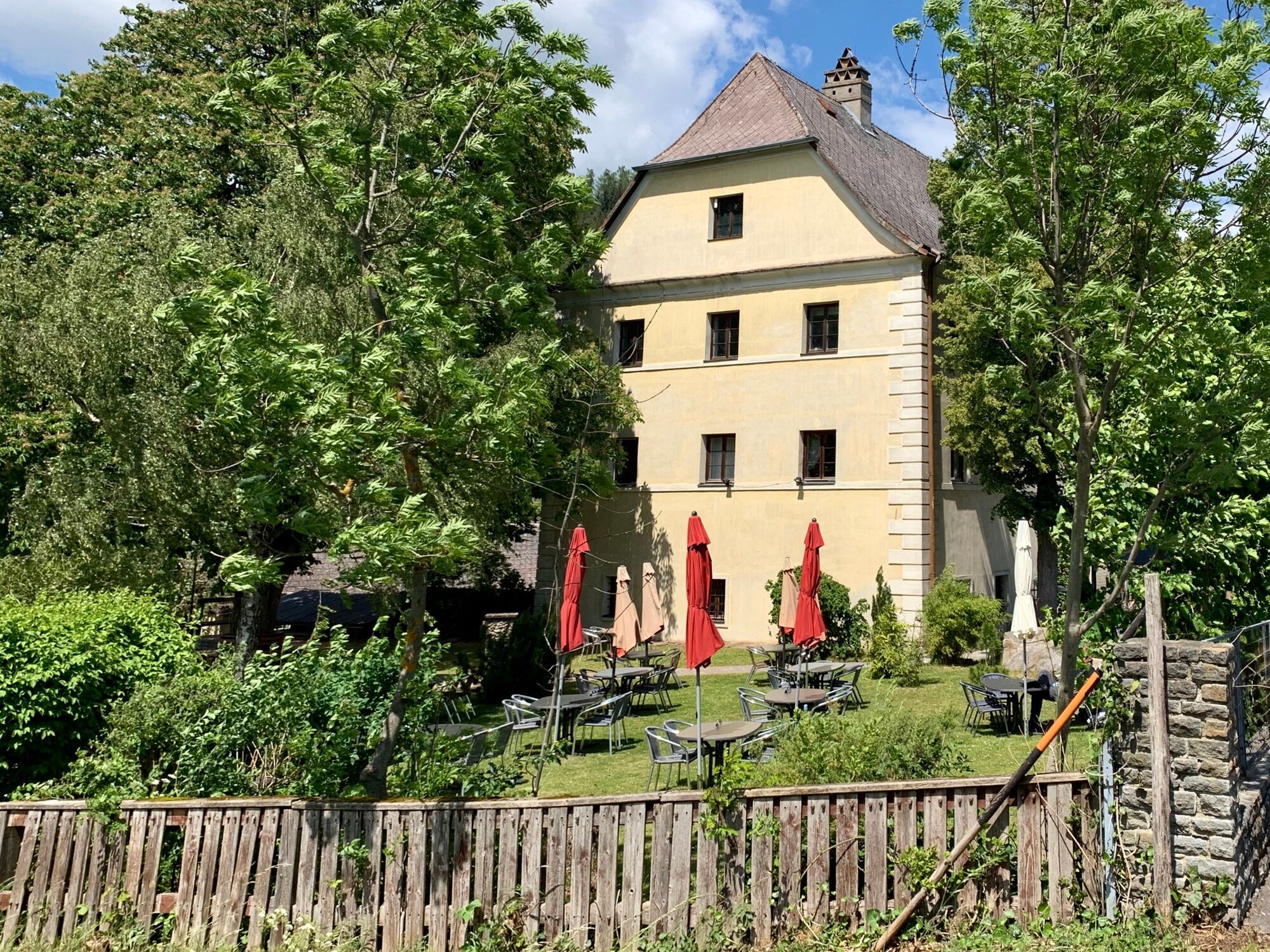
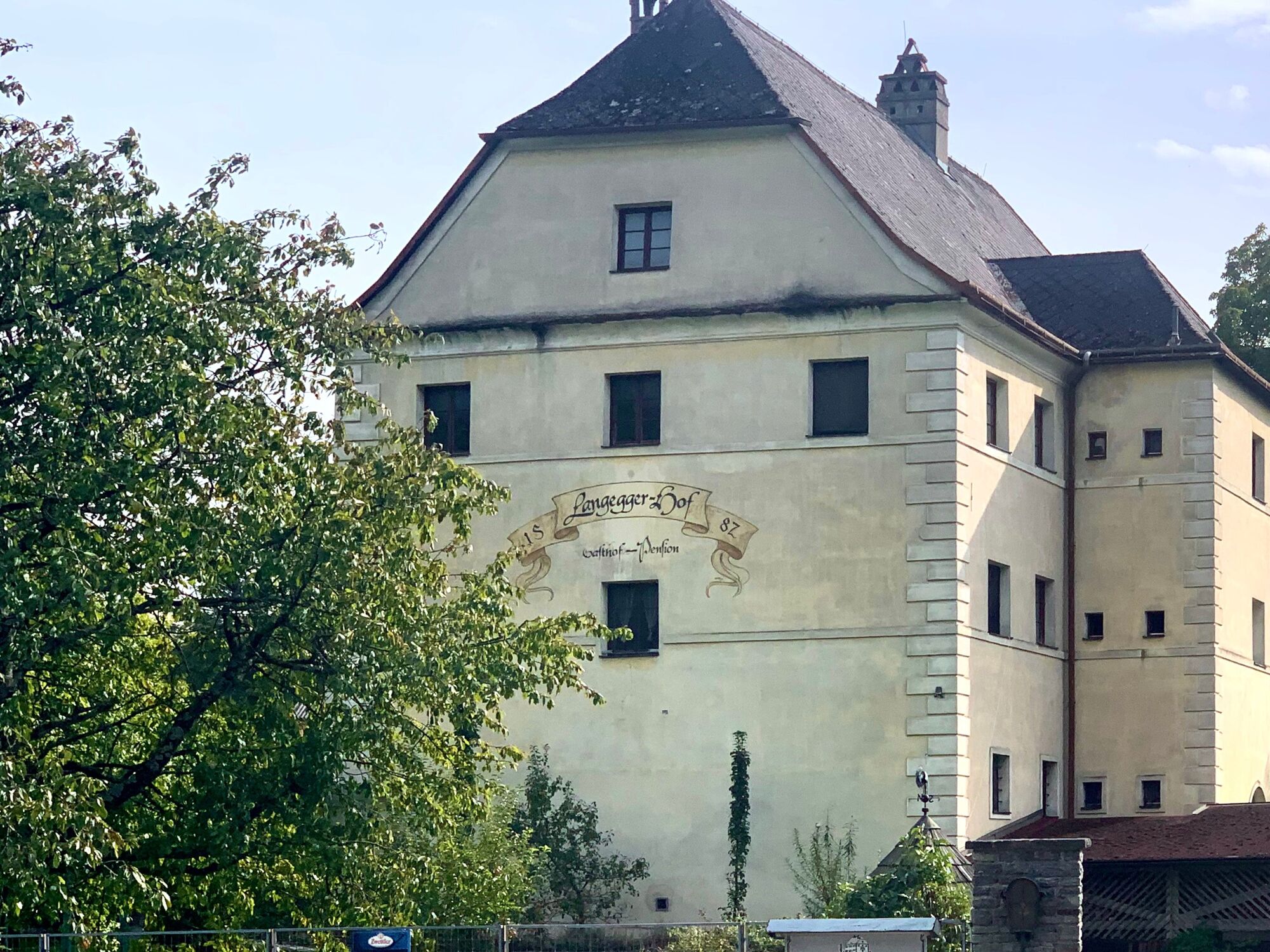
Felsdach0,4 kmLangegger-Hof3,7 kmMaria Langegg4,0 kmNesselstauden6,1 kmBacharnsdorf13,1 kmMitterarnsdorf13,5 km
- Paras kausi
-
tammihelmimaalishuhtitoukokesäheinäelosyyslokamarrasjoulu
- Korkein kohta
- 651 m
- Kohde
-
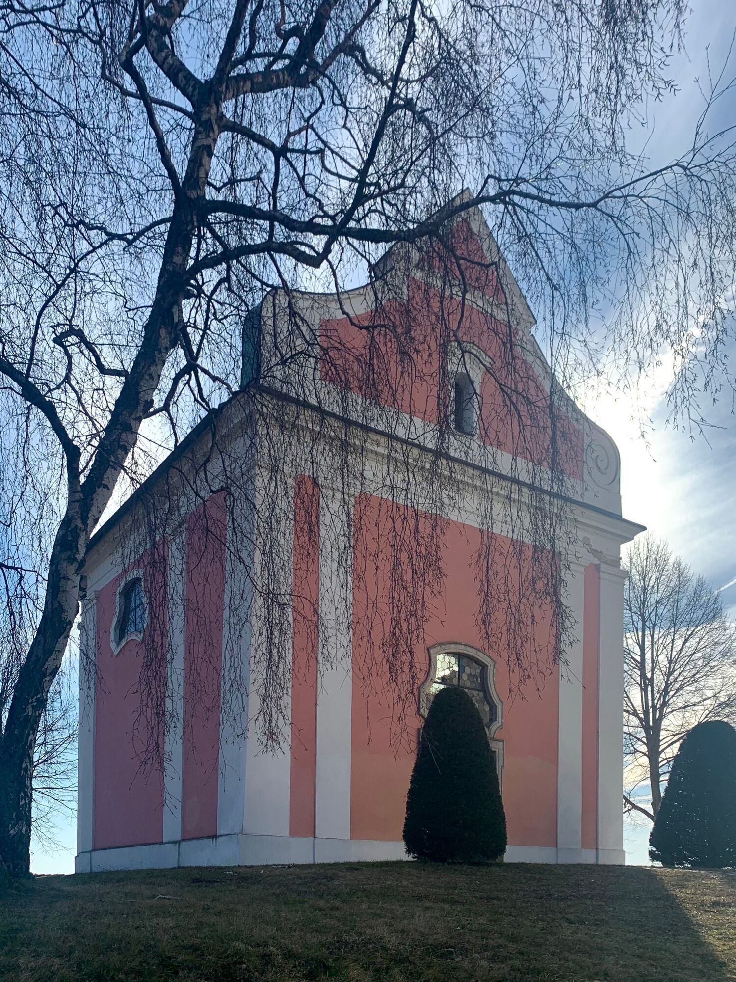
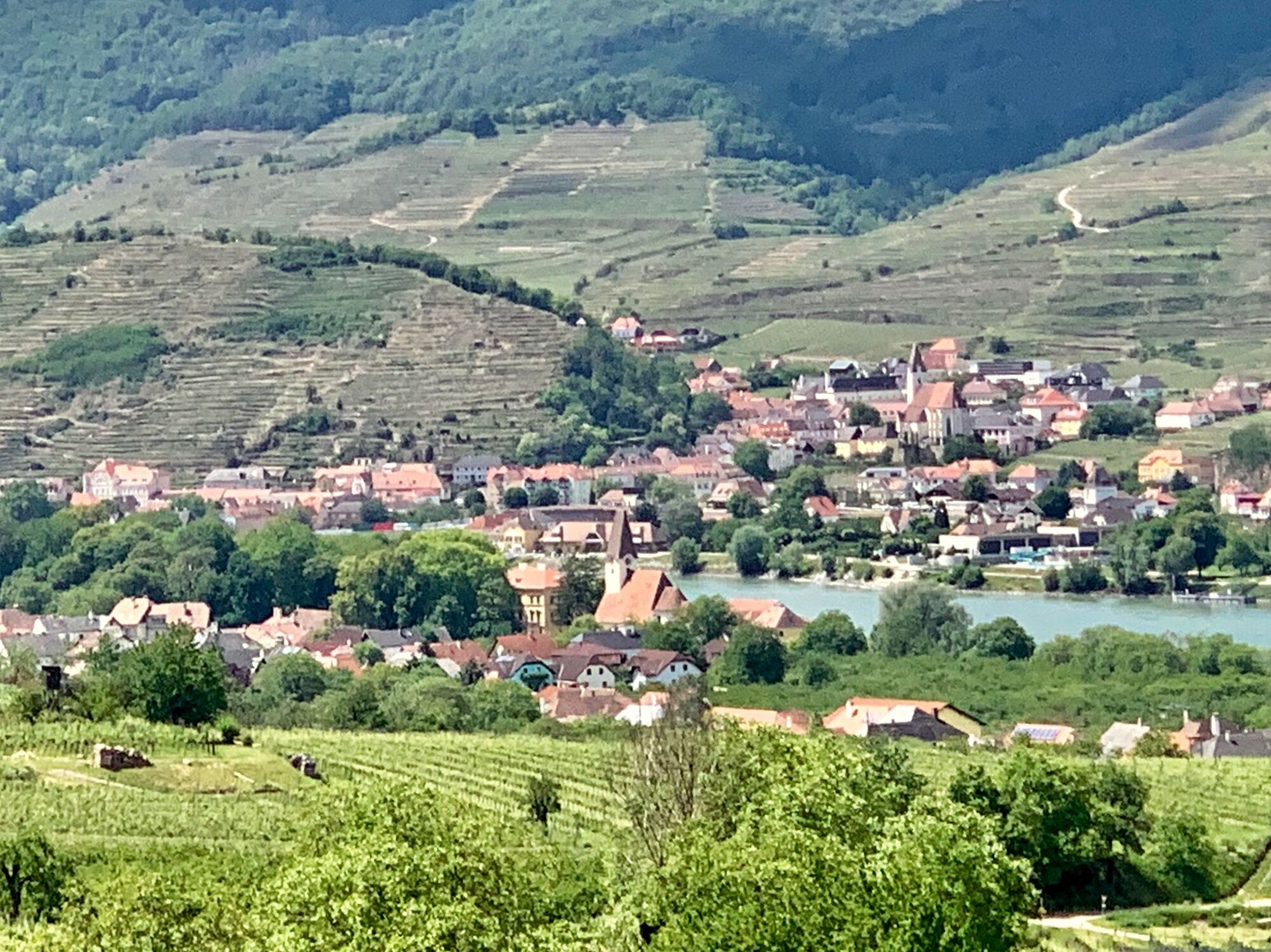
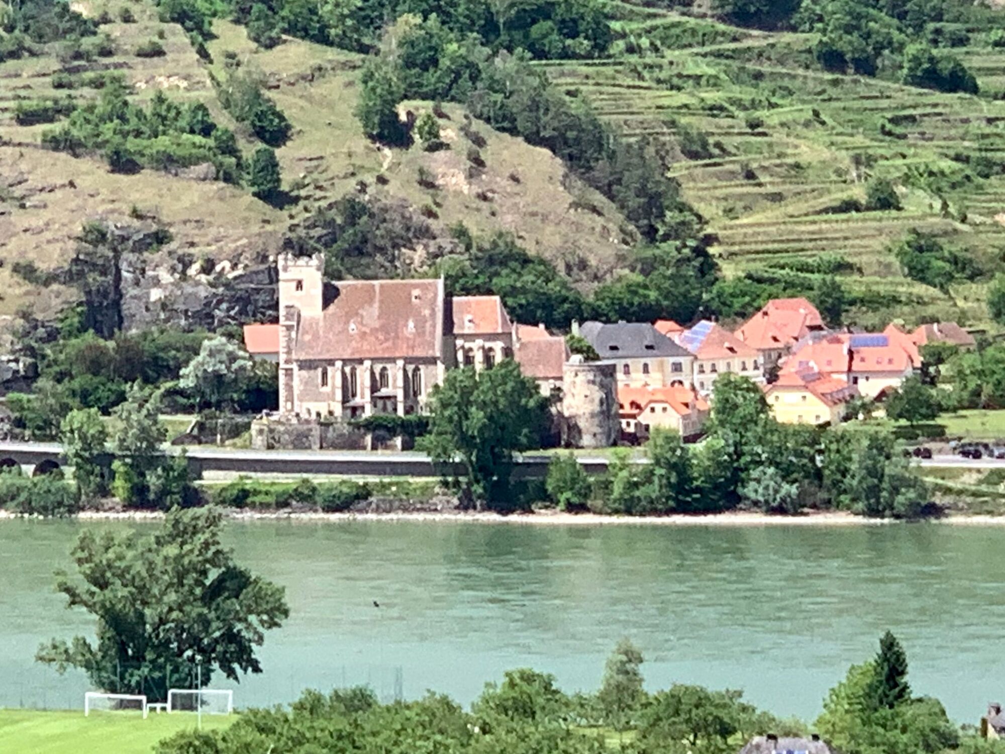
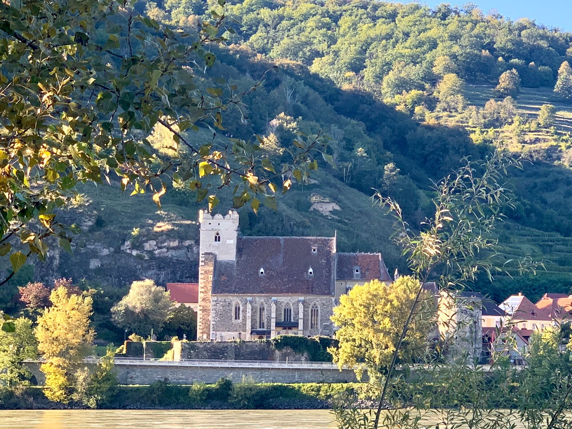
Mitterarnsdorf on the Danube
- Korkeusprofiili
-


-
-
KirjoittajaKiertue From Aggstein to Mitterarnsdorf käyttää outdooractive.com toimitettu.
GPS Downloads


Yleistä tietoa
Virvokepysäkki
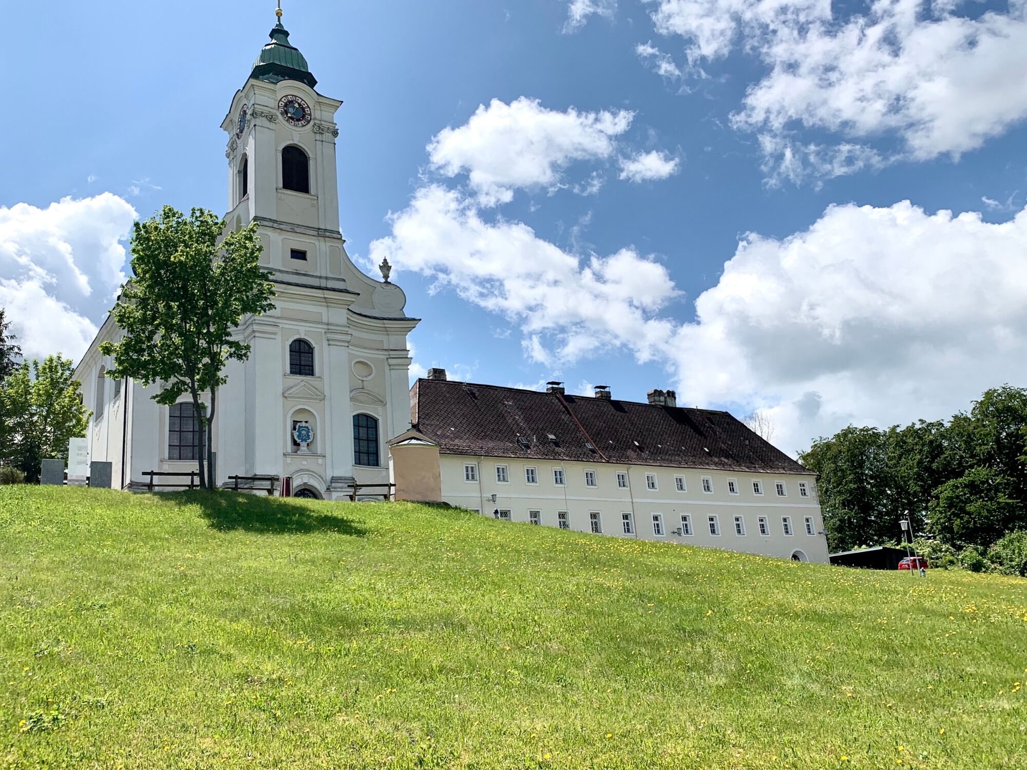
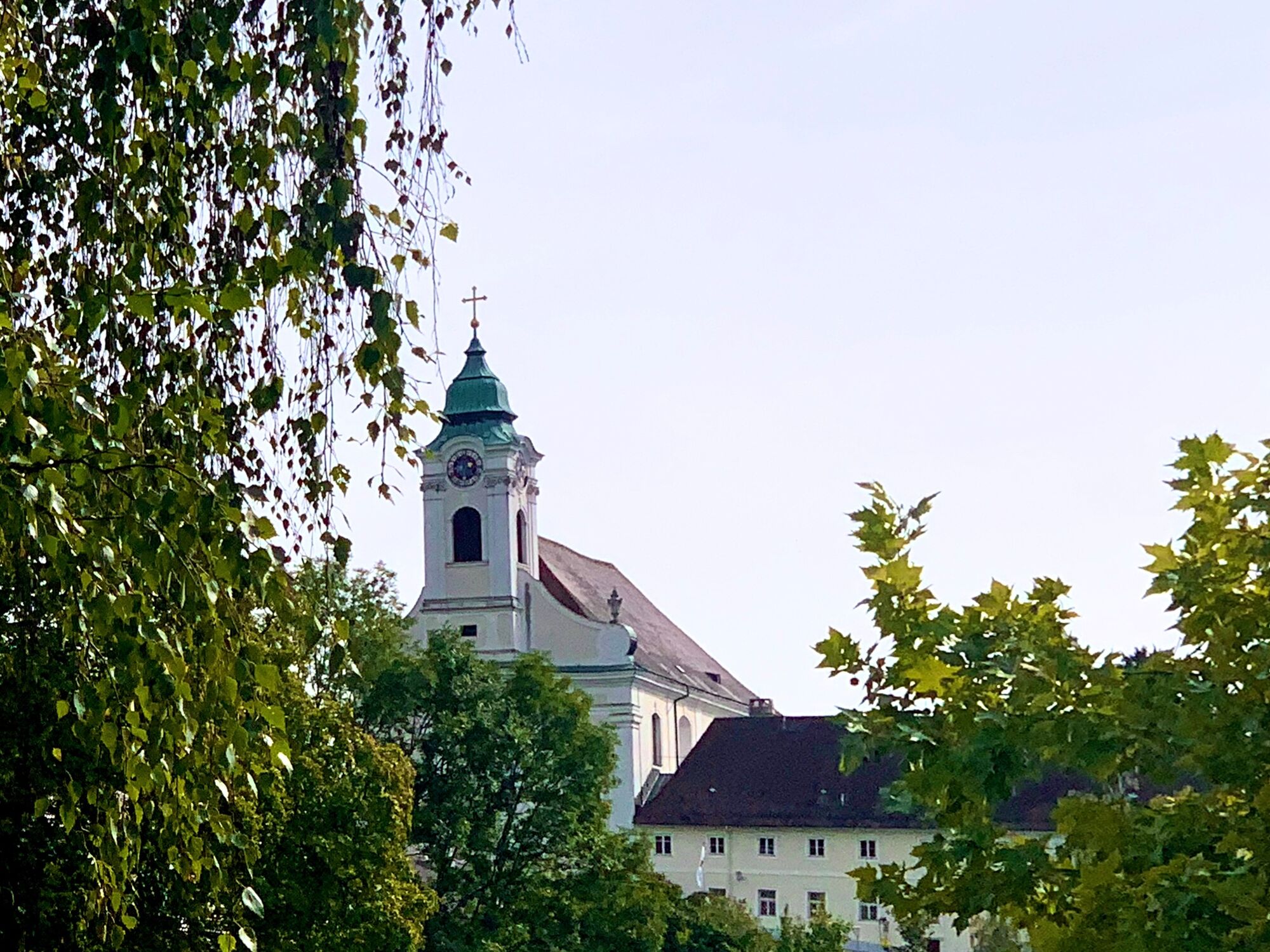
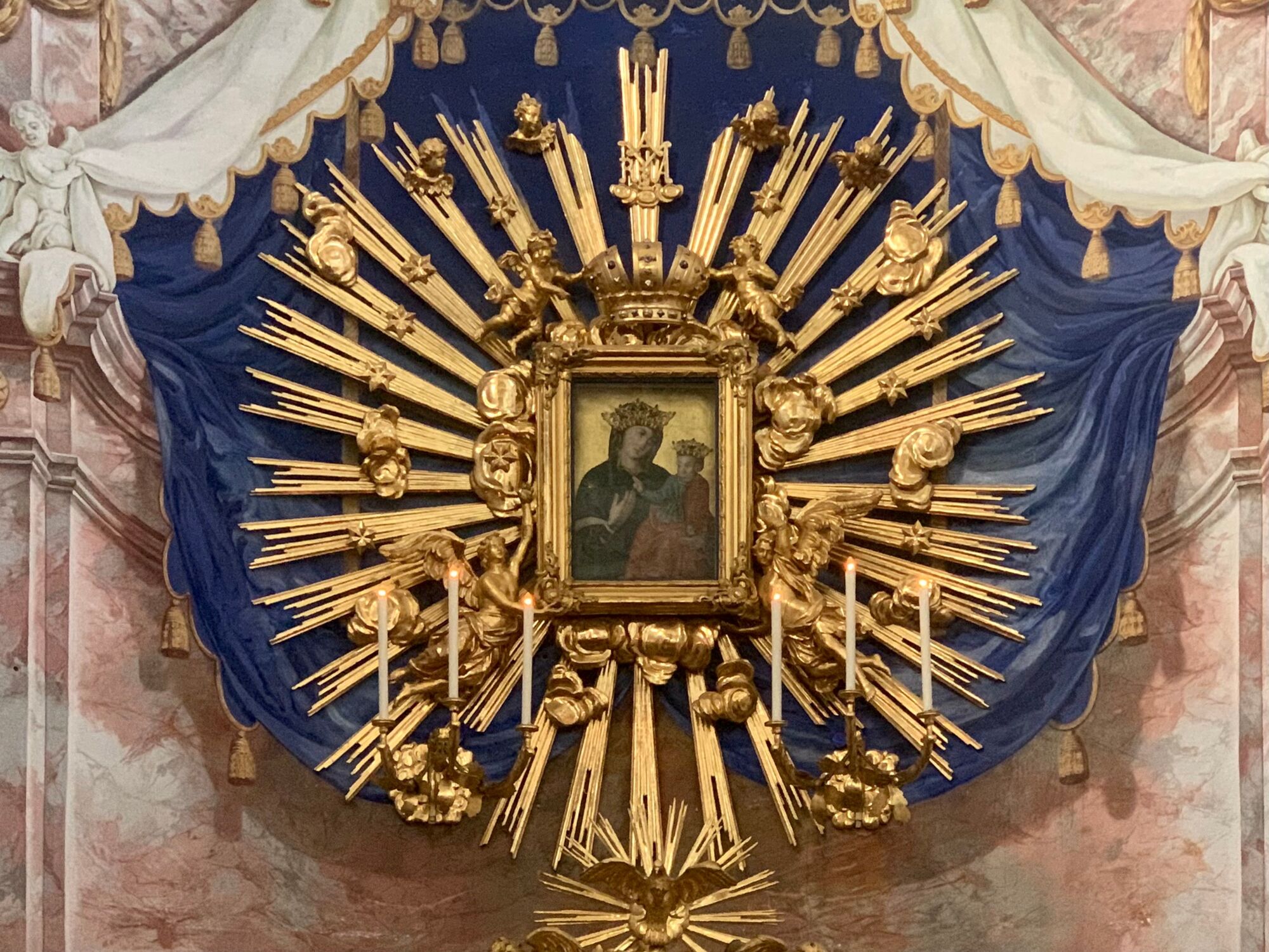
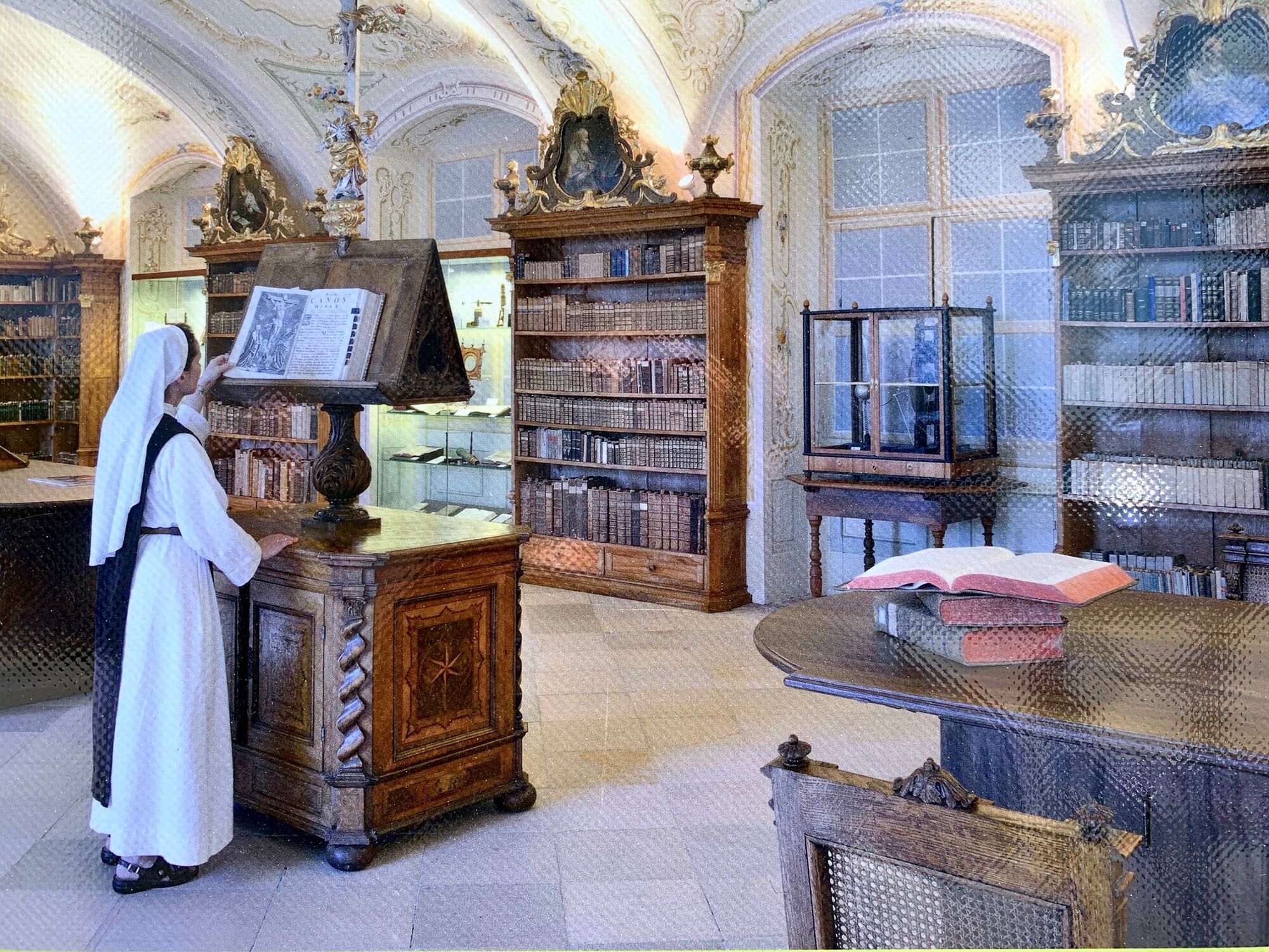
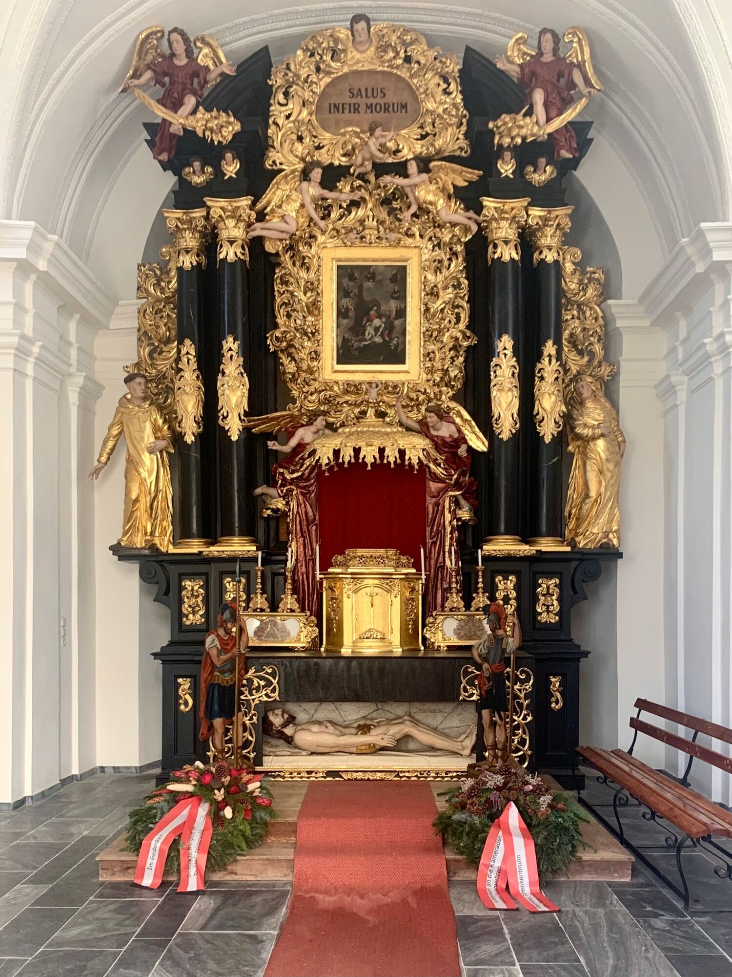
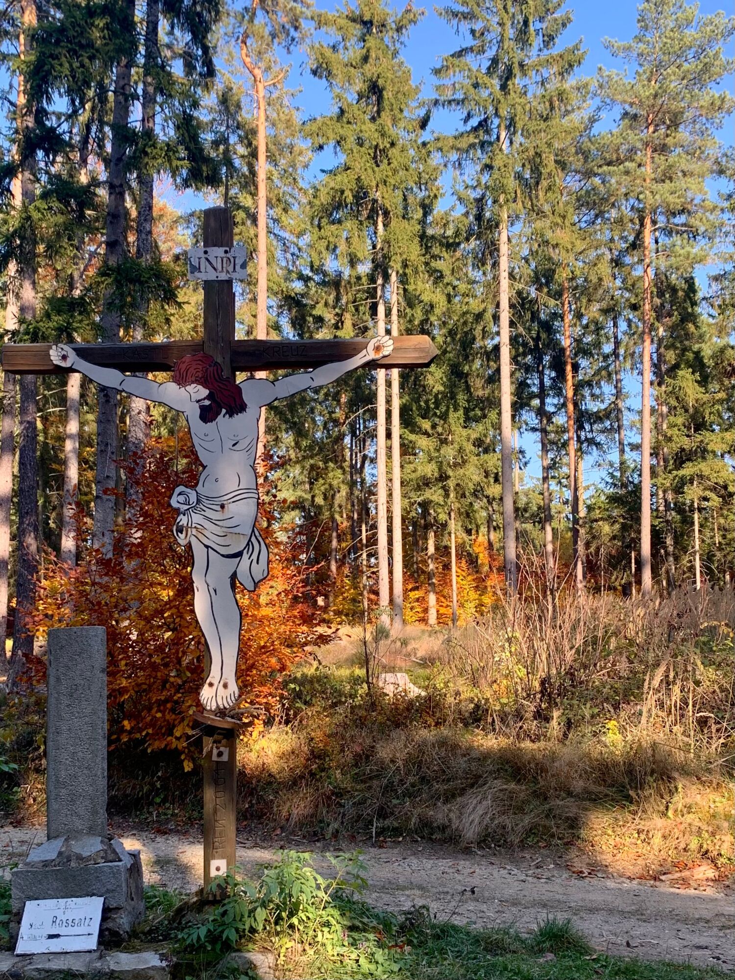
Kulttuuri/Historiallinen
Lupaava
Lisää retkiä alueilla