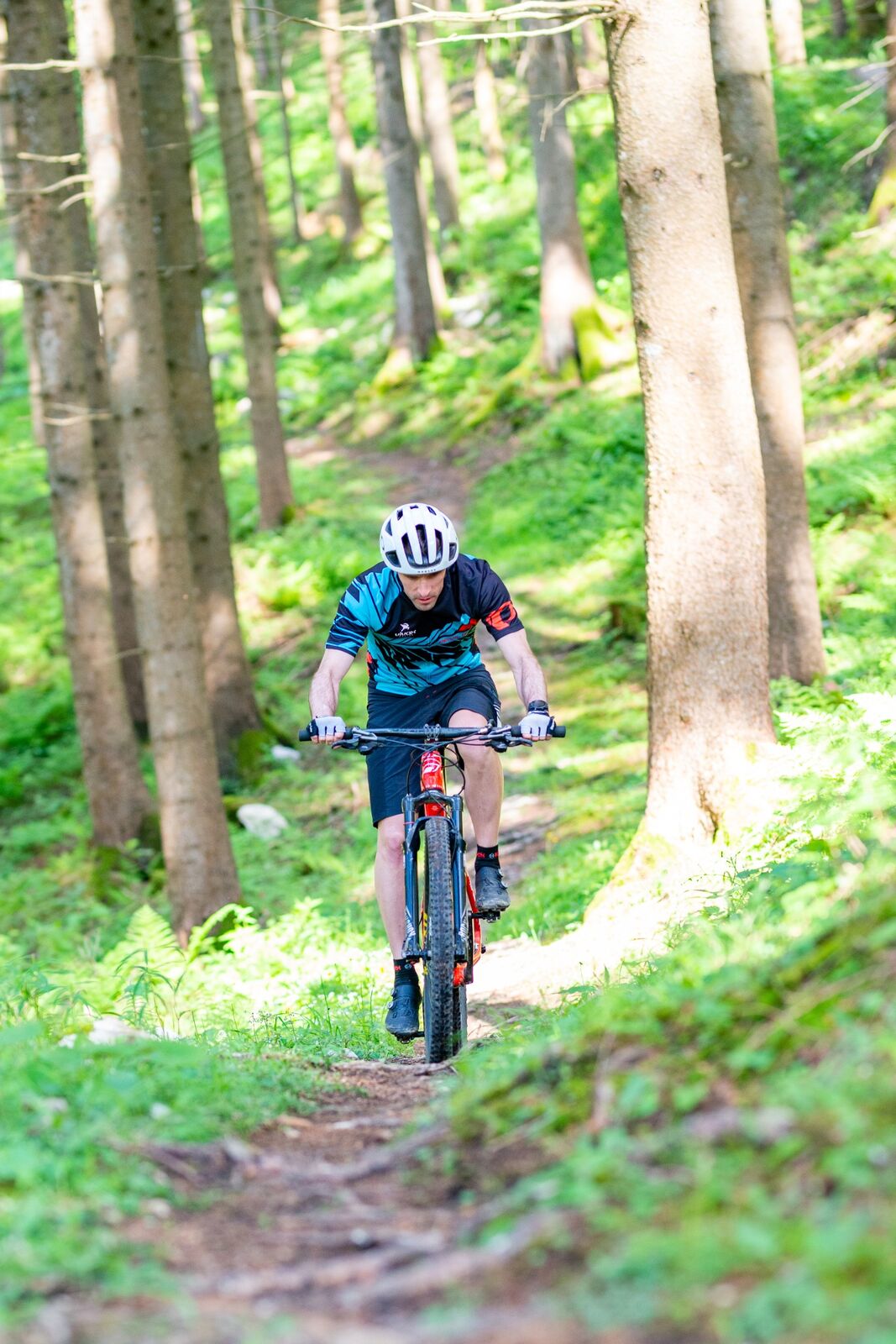
© (C) Wolfgang Wutzl - Wolfgang Wutzl
- Lyhyt kuvaus
-
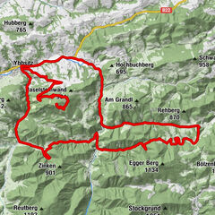
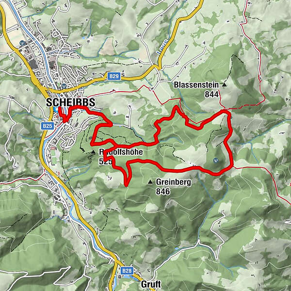
Von Scheibbs auf Asphalt bis zum Blassensteinparkplatz und über einen Forstweg wieder retour ins Tal.
- Vaikeus
-
tapa
- Arviointi
-
- Reitti
-
Scheibbs (331 m)Pfarrkirche0,5 kmScheibbs0,5 kmSchöllgraben0,8 kmSchöllgraben11,6 kmPfarrkirche11,8 kmScheibbs11,9 km
- Paras kausi
-
tammihelmimaalishuhtitoukokesäheinäelosyyslokamarrasjoulu
- Korkein kohta
- 787 m
- Kohde
-
Scheibbs, Bahnhof
- Korkeusprofiili
-

- Kirjoittaja
-
Kiertue Blassenstein-Strecke käyttää outdooractive.com toimitettu.
GPS Downloads


Yleistä tietoa
Virvokepysäkki
Lupaava
Lisää retkiä alueilla
-
Mostviertel
151
-
Eisenstraße Niederösterreich
65
-
Scheibbs
19