ZWalk - Bärnkopf - Der Weinsbergweg

Logo ZWalk - Bärnkopf - Der Weinsbergweg
Retkitiedot
8,22km
910 - 1.017m
Distanz
119hm
Nousu
02:30h
 
Kesto
Lyhyt kuvaus

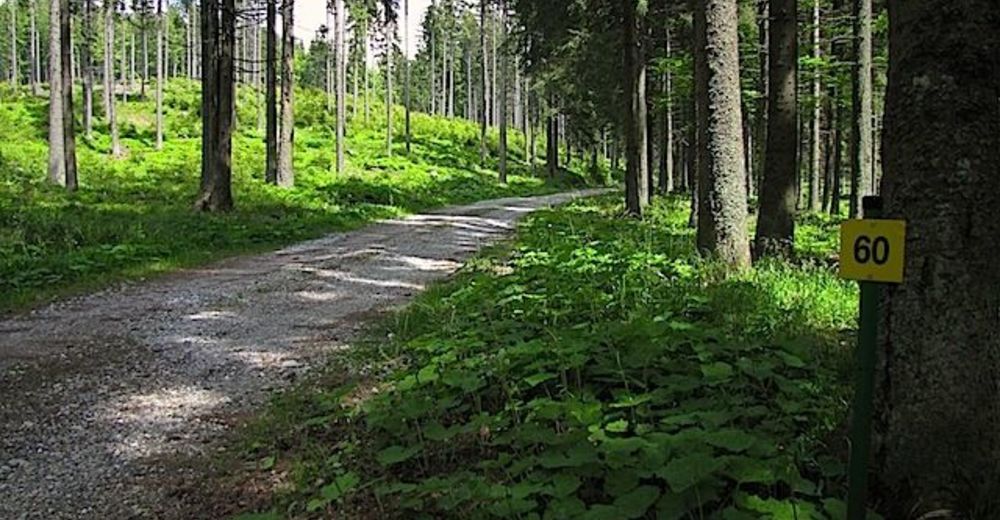
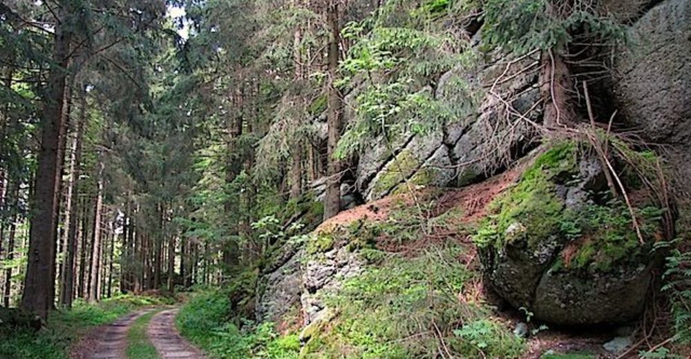
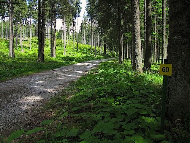
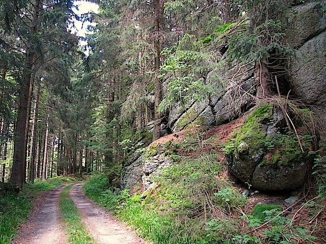
Die Tour führt durch eine typische, leicht hügelige Waldviertler Landschaft. Es geht durch Felder, Wiesen und Wälder, die sich ständig abwechseln.

Vaikeus
helppo
Arviointi
Tekniikka
Kunto
Maisema
Elämys
Lähtöpiste

Bärnkopf

Reitti
Pfarrkirche St. Anna
0,0 km
Bärnkopf
0,1 km
Weinsberg (1.041 m)
4,2 km
Pfarrkirche St. Anna
8,0 km
Bärnkopf
8,0 km


Korkein kohta
1.017 m

Lähde
ZWalk

Yleinen luokitus

5

0

%

4

0

%

3

0

%

2

0

%

1

0

%

Virhe
On tapahtunut virhe. Yritä uudelleen.
Kiitos arvostelusta

Luokitus poistettiin

GPS Downloads
  • GPX GPS Exchange Format (XML)
  • KML Google Earth, Google Maps
QR-latauskoodit matkapuhelimiin
Lisää retkiä alueilla

Suosittuja retkiä alueella

ZWalk - Pretrobruck - In den Tälern bei Pretrobruck

helppo Nordic Walking
8,04km | 155hm | 02:30h

ZWalk - Haselbach - Die Farben des Frühlings

helppo Nordic Walking
7,06km | 121hm | 02:00h