

© Donau Niederösterreich - Tourismusbüro Carnuntum-Marchfeld - Verein Jakobsweg Römerland Carnuntum

© Donau Niederösterreich Tourismus, Andreas Hofer

© Donau Niederösterreich - Römerland Carnuntum-Marchfeld - Steve Haider

© Donau Niederösterreich - Römerland Carnuntum-Marchfeld - Donau Niederösterreich, Neubauer

© Donau Niederösterreich - Tourismusbüro Carnuntum-Marchfeld - Donau Niederösterreich, Robert Herbst

© Donau Niederösterreich - Tourismusbüro Carnuntum-Marchfeld - NÖ Werbung, Andreas Hofer

© Donau Niederösterreich - Tourismusbüro Carnuntum-Marchfeld - NÖ Werbung, Andreas Hofer

© Donau Niederösterreich - Römerland Carnuntum-Marchfeld - Verein Jakobsweg Römerland Carnuntum

© Donau Niederösterreich - Römerland Carnuntum-Marchfeld - Verein Jakobsweg Römerland Carnuntum

© Donau Niederösterreich - Römerland Carnuntum-Marchfeld - Verein Jakobsweg Römerland Carnuntum
Retkitiedot
61,82km
137
- 193m
212hm
210hm
15:30h


- Lyhyt kuvaus
-
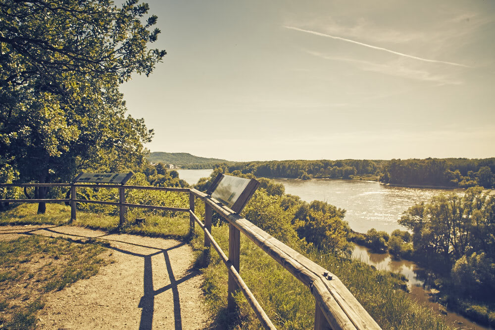
Der Jakobsweg Römerland Carnuntum schließt an der Grenze bei Berg an den Camino Slovakia an und mündet direkt in den Jakobsweg Wien. Er gliedert sich in vier Etappen.
- Vaikeus
-
helppo
- Arviointi
-
- Reitti
-
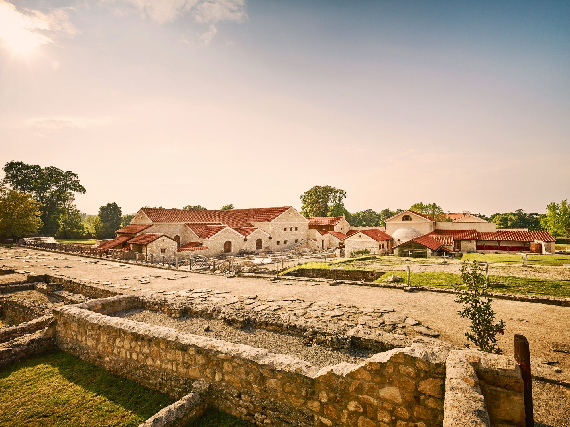
EngerauWolfsthal4,2 kmHeuriger Niefergall4,3 kmMaria am Birnbaum4,4 kmTheben10,0 kmMaria-Lourdes-Andacht12,2 kmArche-Noah-Halbhöhle12,6 kmSchiffsanlegestelle Hainburg13,6 kmHainburg an der Donau (161 m)14,2 kmStadtpfarrkirche (Philippus-und-Jakobus-Kirche)14,3 kmJohannes-Nepomuk-Kapelle14,5 kmHainburg an der Donau Kulturfabrik15,2 kmBad Deutsch-Altenburg (158 m)18,2 kmElisabethkapelle18,3 kmSaubergl (177 m)19,1 kmPizza Service Flame22,3 kmPetronell-Carnuntum22,7 kmGasthof Heidentor22,8 kmAnnakapelle23,2 kmImbiss Römische Münzen23,5 kmWildungsmauer30,1 kmJahner30,4 kmHl. Jakob der Ältere32,2 kmRegelsbrunn32,6 kmHaslauer Hof38,4 kmHaslau an der Donau (186 m)38,6 kmMaria Ellend (202 m)40,4 kmUnserer lieben Frau40,8 kmSteurer Johann und Dorothea41,7 kmFischamend46,8 kmMannswörth56,8 kmSchwechat61,8 kmGroß-Schwechat61,8 km
- Paras kausi
-
tammihelmimaalishuhtitoukokesäheinäelosyyslokamarrasjoulu
- Korkein kohta
- 193 m
- Kohde
-
Schwechat
- Korkeusprofiili
-


- Kirjoittaja
-
Kiertue Jakobsweg Römerland Carnuntum: Wolfsthal - Schwechat käyttää outdooractive.com toimitettu.
GPS Downloads


Yleistä tietoa
Virvokepysäkki
Kulttuuri/Historiallinen
Lisää retkiä alueilla