Retkitiedot
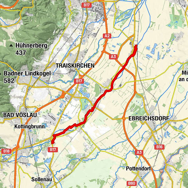
33,3km
181
- 247m
109hm
114hm
02:07h
- Lyhyt kuvaus
-
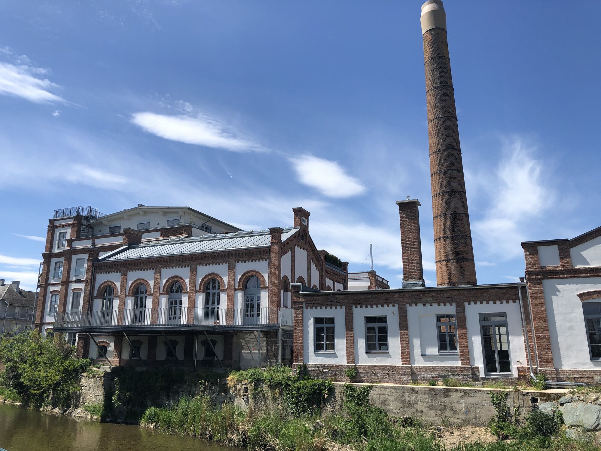
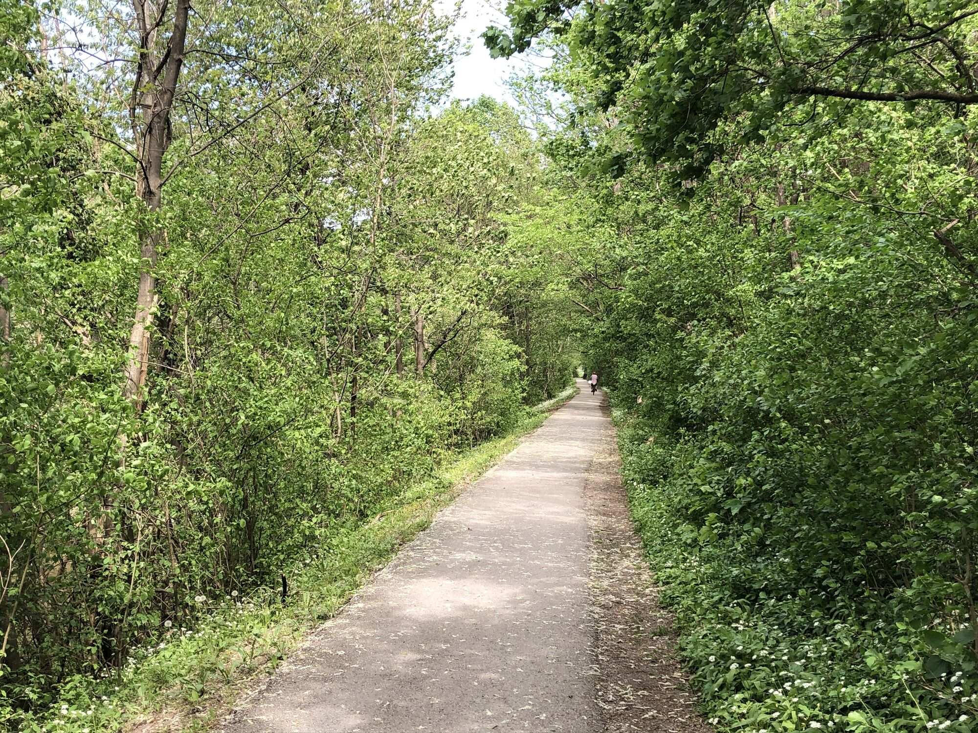
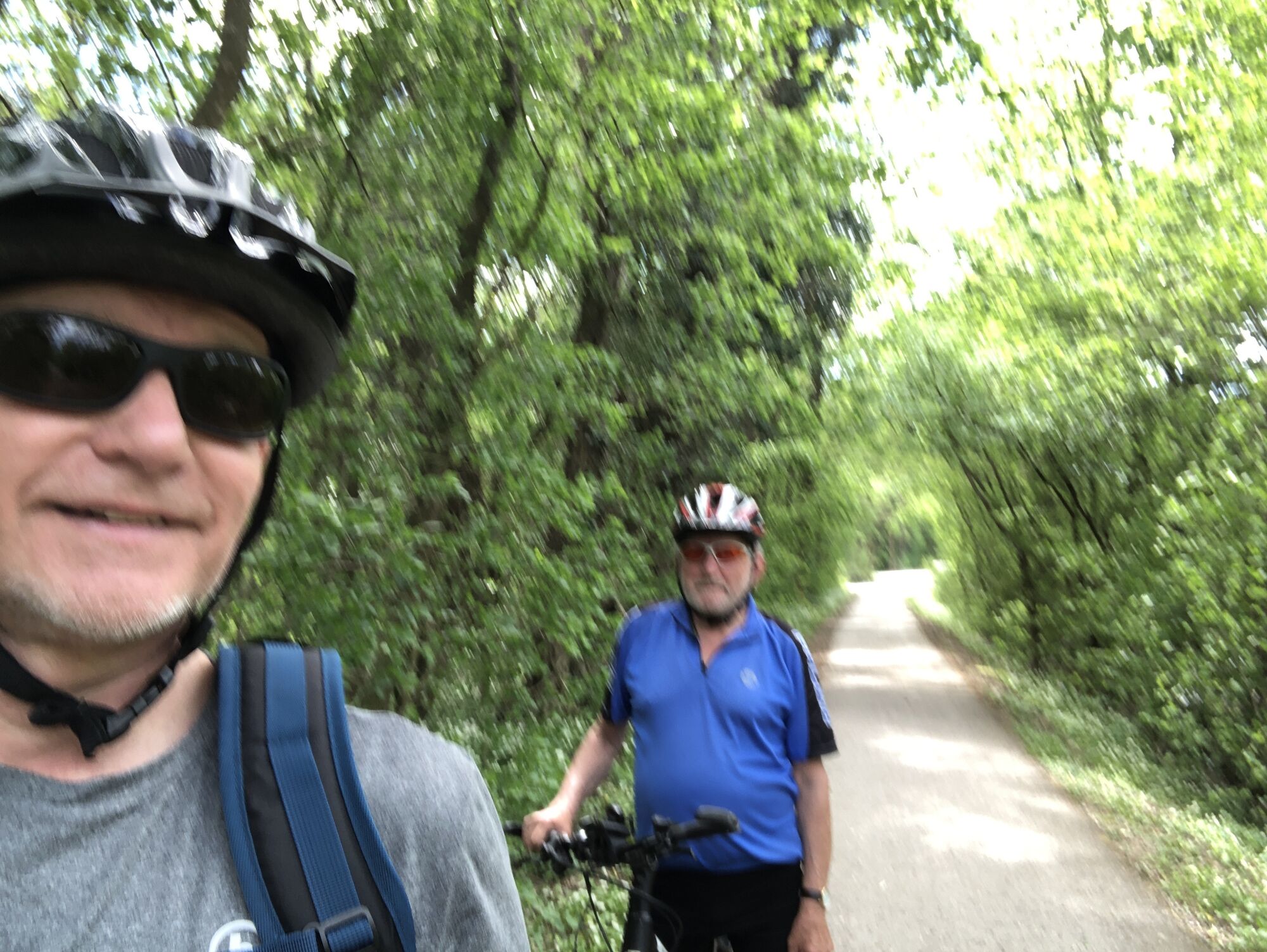
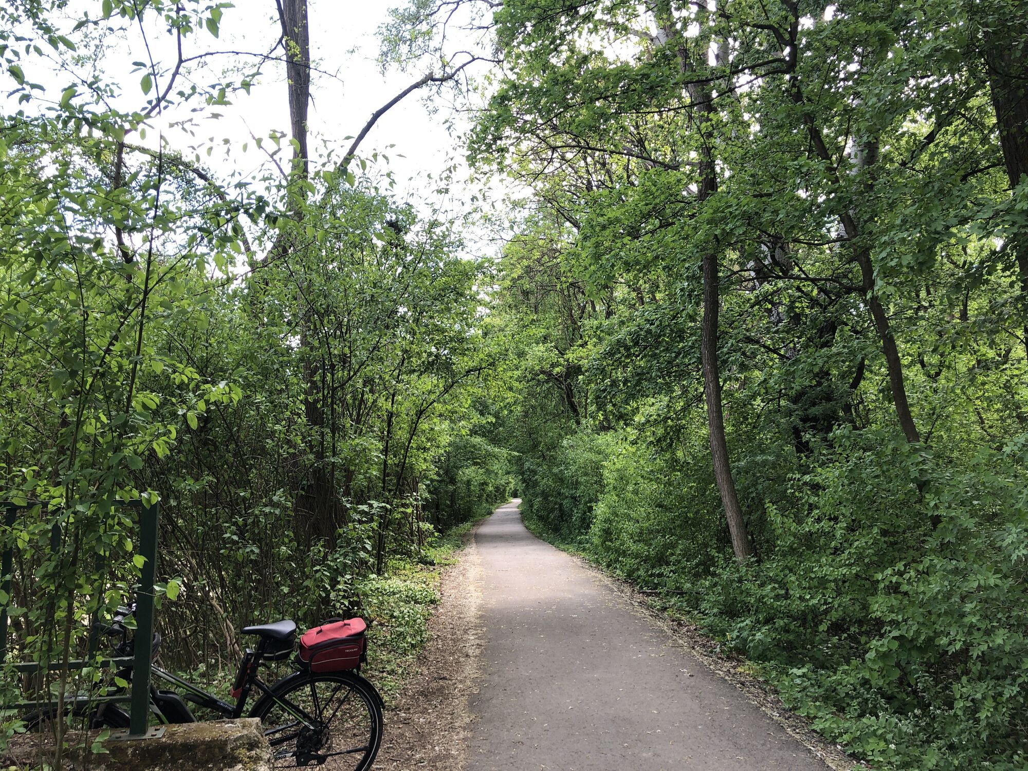
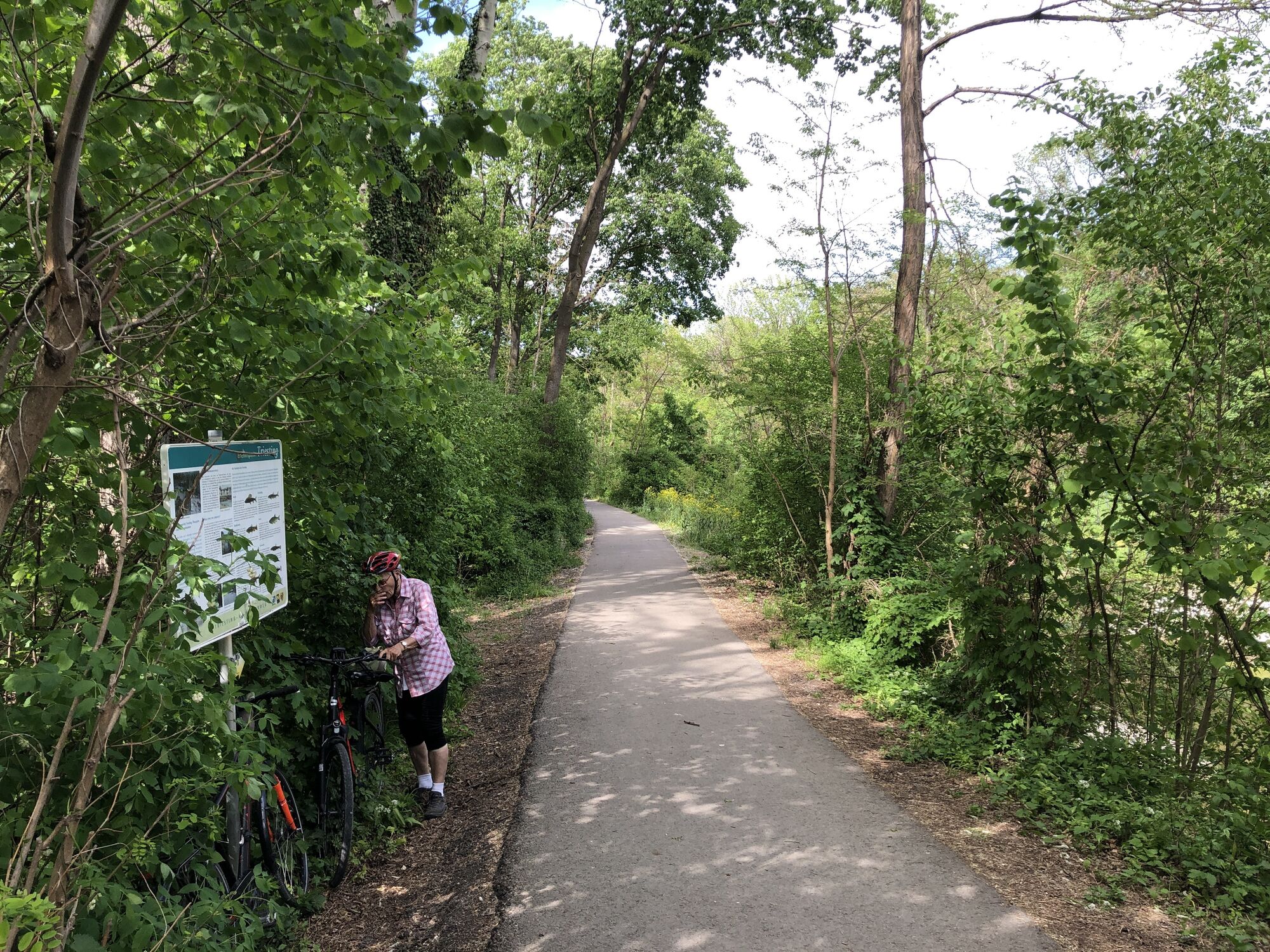
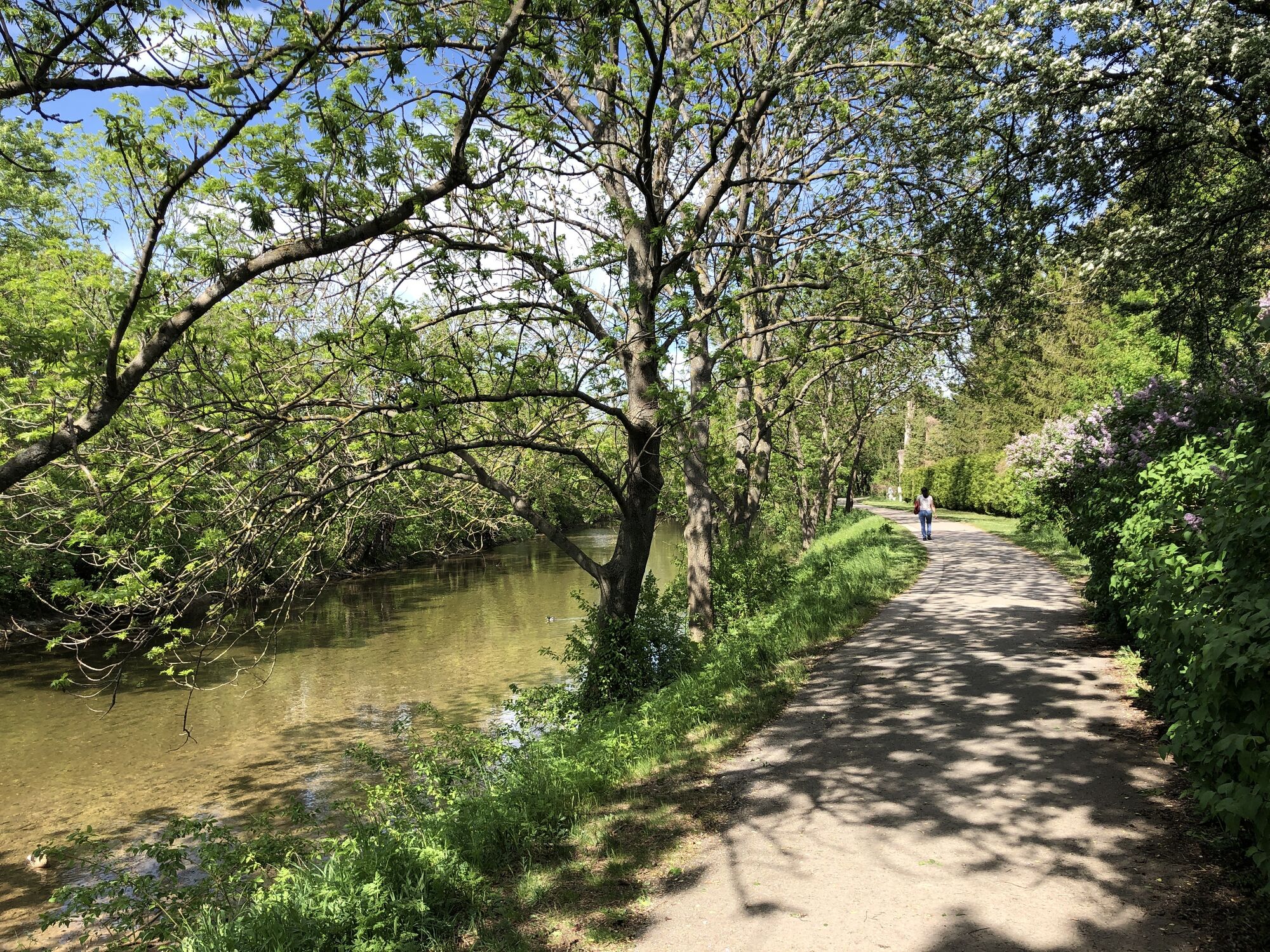
Triestingau-Radweg Abschnitt Münchendorf - Bad Schönau
- Vaikeus
-
helppo
- Arviointi
-
- Reitti
-
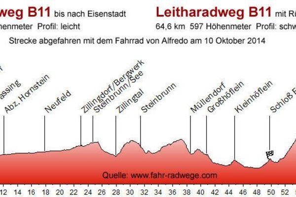
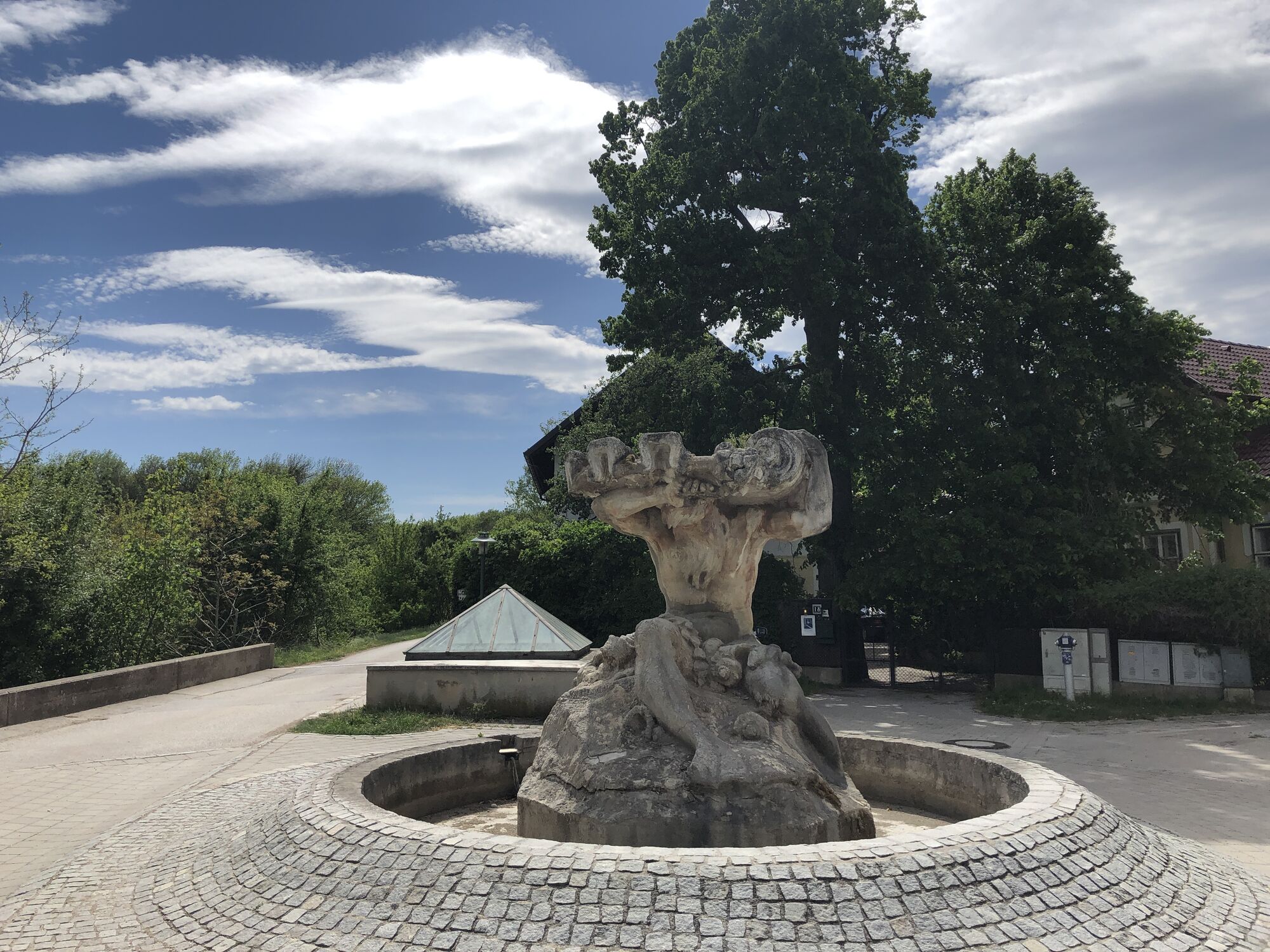
Münchendorf0,8 kmUntere Rohräcker5,1 kmTrumau6,2 kmOberwaltersdorf9,0 kmTattendorf11,7 kmJoan von Nepomuk12,0 kmTeesdorf14,3 kmPfarrkirche Günselsdorf (Hl. Georg)15,7 kmGünselsdorf16,1 kmTeesdorf19,1 kmJoan von Nepomuk21,4 kmTattendorf21,5 kmOberwaltersdorf24,6 kmTrumau27,4 kmUntere Rohräcker28,6 kmMünchendorf32,5 km
- Paras kausi
-
tammihelmimaalishuhtitoukokesäheinäelosyyslokamarrasjoulu
- Korkein kohta
- 247 m


GPS Downloads


Ajoreitit
Asfaltti
Sora
Metsä
Vuoripolut
Singletrails
Trial
Liikenne
Lisää retkiä alueilla
-
Wienerwald
169
-
Oberwaltersdorf
21