© Donau Niederösterreich Tourismus GmbH - Niederösterreich Werbung / Andreas Hofer

© Donau Niederösterreich Tourismus GmbH - Donau Niederösterreich Tourismus / Steve Haider

© Donau Niederösterreich Tourismus GmbH - Donau Niederösterreich Tourismus / Robert Herbst

© Donau Niederösterreich Tourismus GmbH - Donau Niederösterreich Tourismus / Robert Herbst

© Tourismusverband Nordburgenland - Neusiedler See Tourismus/Göschl

- Lyhyt kuvaus
-
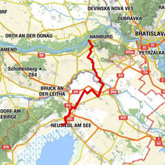
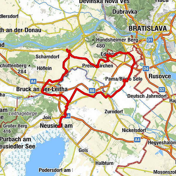
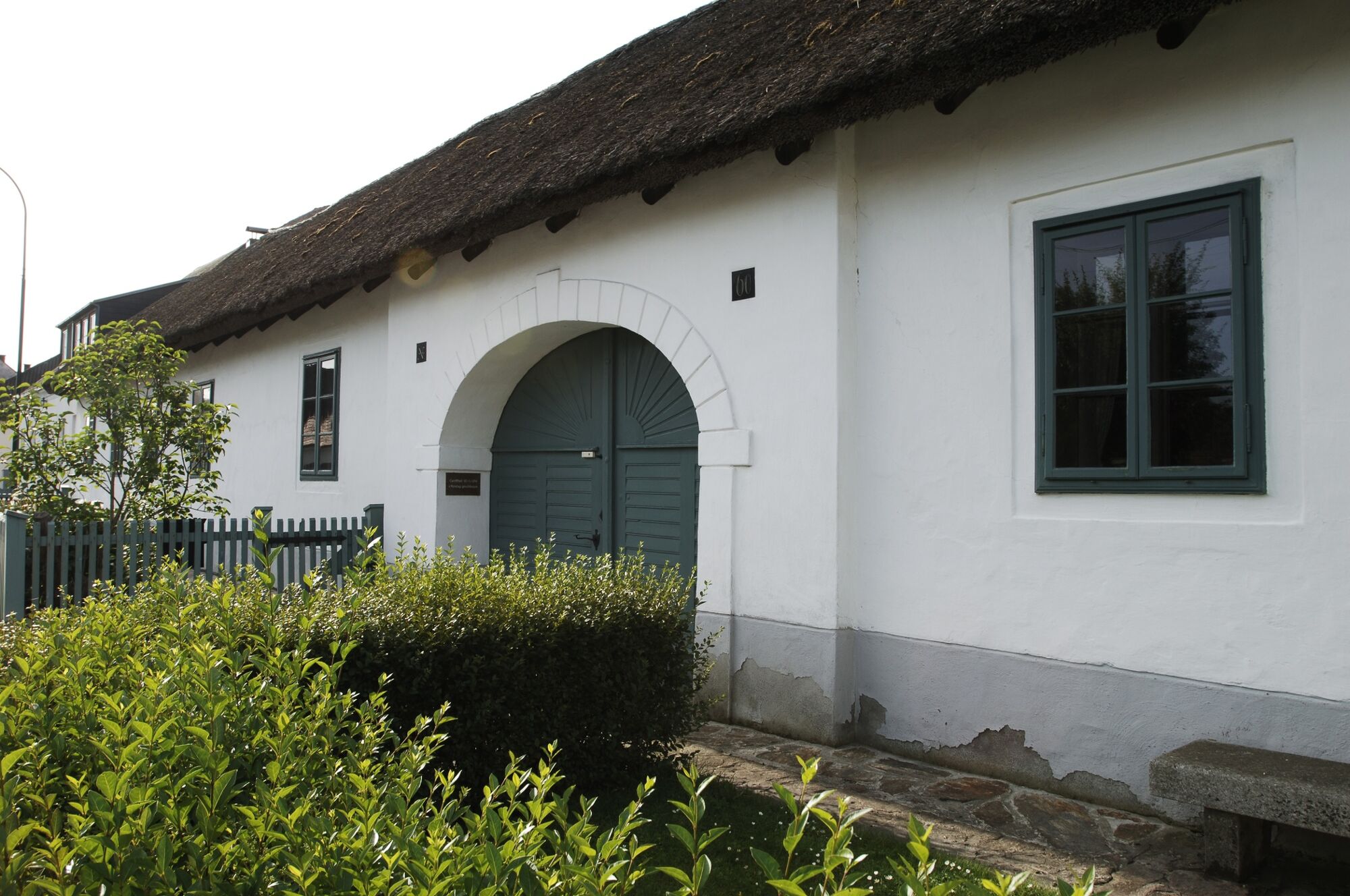
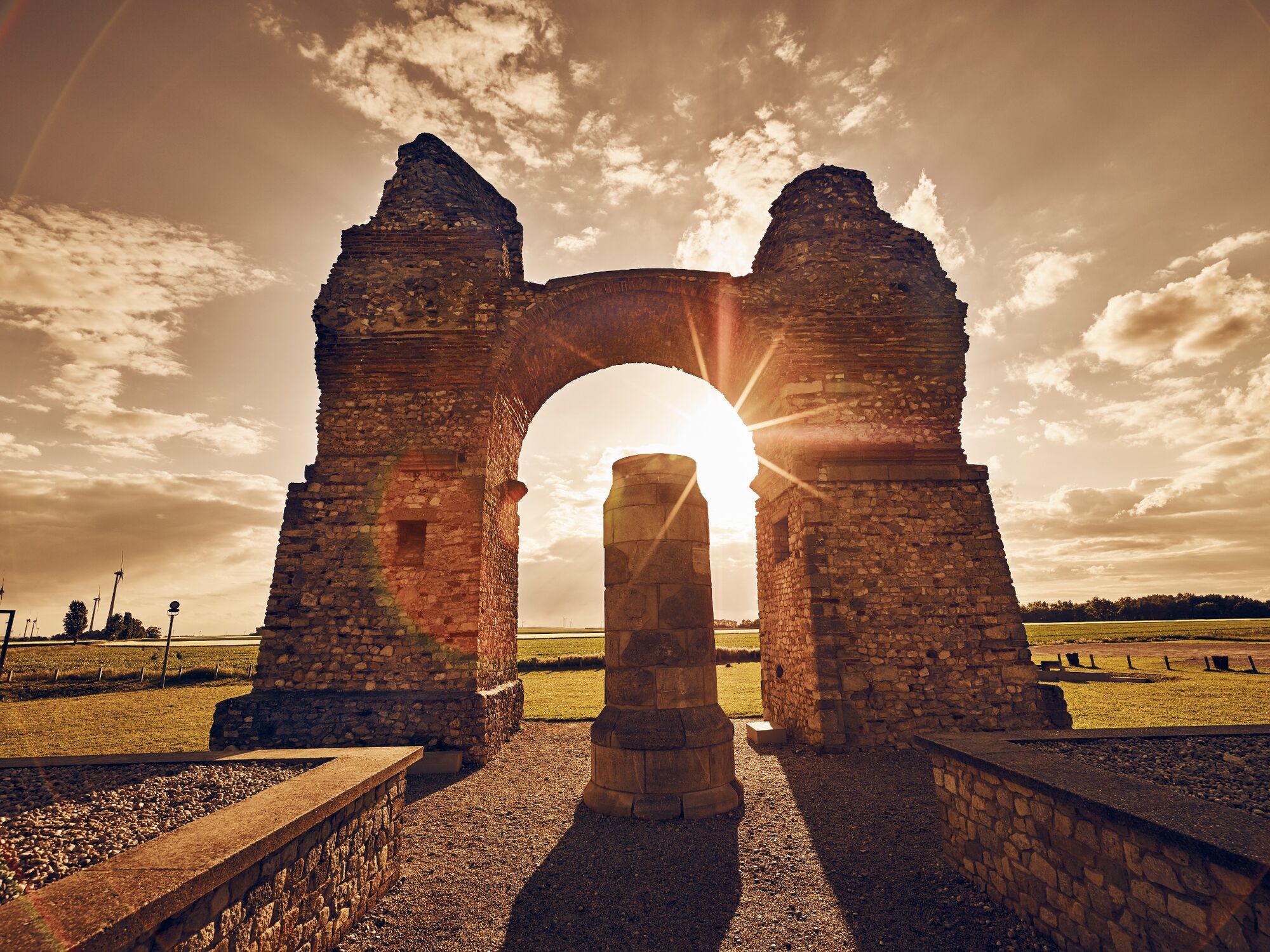
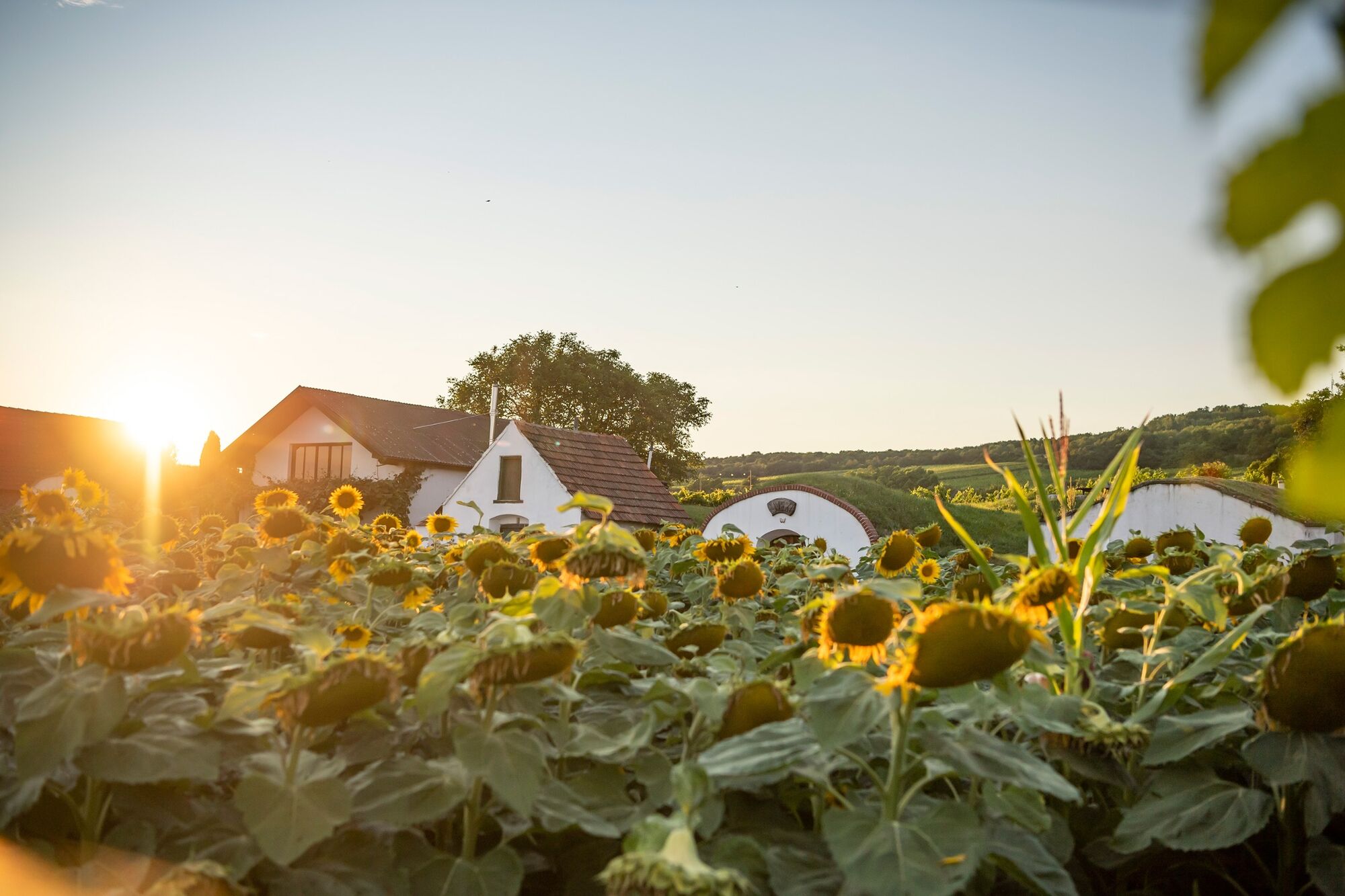
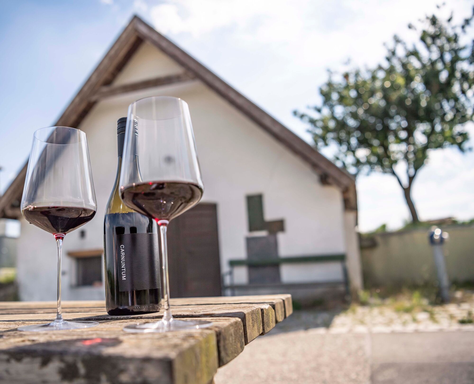
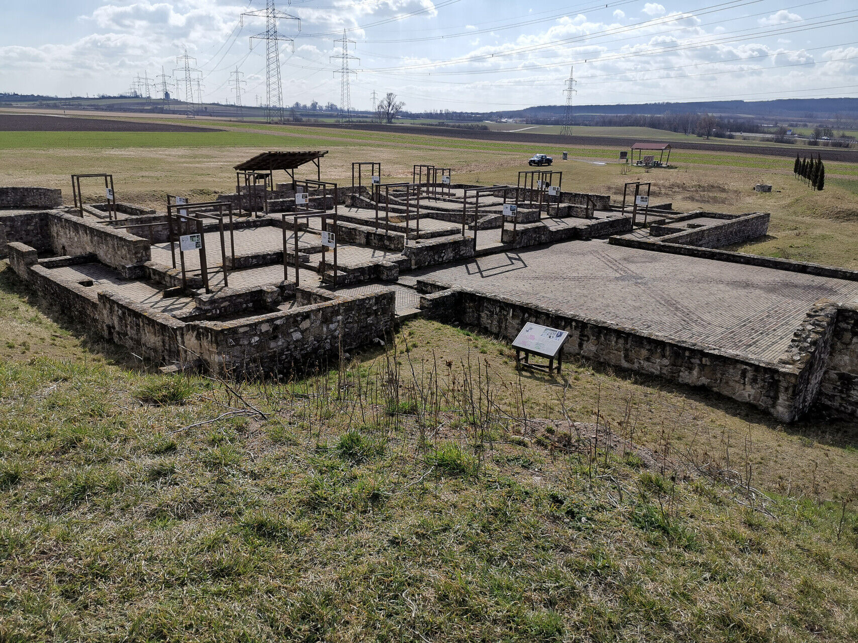
"Wind, water and wine" - is the motto of the approximately 97-km-long tour of discovery. It runs from the shores of Lake Neusiedl to the Danube floodplain, between vineyards and idyllic cellar streets, past historic sites and modern wind farms. The discovery tour combines Burgenland and Lower Austria, the cycling network-Lake Neusiedl to the Danube Bike Tour, nature with culture and technology.
IMPORTANT: There are currently road blocks due to the construction of wind turbines in the municipalities Schardorf, Petronell-Carnuntum and Rohrau. Please note for your safety the signage when en route!
- Vaikeus
-
helppo
- Arviointi
-
- Reitti
-
Neusiedl am See (131 m)0,5 kmZum Heidehof Stüberl6,5 kmParndorf (182 m)7,7 kmSteak House7,7 kmPfarrkirche St. Ladislaus8,0 kmBruckneudorf (162 m)15,3 kmZur Allerheiligsten Dreifaltigkeit16,1 kmBruck an der Leitha16,2 kmPestkapelle21,6 kmPachfurth21,8 kmPfarrkirche Hll. Rochus und Rosalia22,3 kmGerhaus23,5 kmSchlossrestaurant Zengerer24,3 kmPfarrkirche Hl. Veit25,2 kmRohrau (148 m)25,2 kmSchmankerl Stube31,0 kmCafe 142,3 kmPrellenkirchen (178 m)42,4 kmPfarrkirche Hl. Geist42,5 kmFamilie Gratzer-Sandriester46,3 kmUrbanus Kapelle48,1 kmGasthaus Glock48,9 kmEdelstal49,1 kmPfarrkirche Hl. Stephan König von Ungarn49,2 kmBerg (136 m)53,3 kmPfarrkirche hl. Anna53,4 kmDisco C2 Burkhart53,7 kmStreak & Wine House53,8 kmDa Vinci53,9 kmKittsee (127 m)55,2 kmEngerau56,0 kmGasthof Steinhofer56,4 kmGasthaus Edelhof56,4 kmSzeliansky56,8 kmLIFE+ Großtrappe Pama61,7 kmPama63,3 kmPfarrkirche Hl. Dreifaltigkeit69,8 kmGattendorf (135 m)69,9 kmNeudorf75,1 kmPfarrkirche St. Ladislaus82,7 kmSteak House82,8 kmParndorf (182 m)83,2 kmZum Heidehof Stüberl84,5 kmNeusiedl am See (131 m)90,4 km
- Paras kausi
-
tammihelmimaalishuhtitoukokesäheinäelosyyslokamarrasjoulu
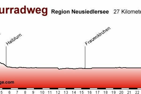
- Korkein kohta
- 222 m
- Kohde
-
Neusiedl am See
- Korkeusprofiili
-

- Kirjoittaja
-
Kiertue Discovery tour - Danube meets Lake Neusiedl käyttää outdooractive.com toimitettu.
GPS Downloads


Yleistä tietoa
Virvokepysäkki
Kulttuuri/Historiallinen
Lisää retkiä alueilla